The Moor
Downs, Moorland in Devon East Devon
England
The Moor
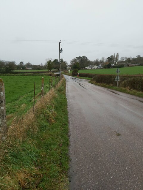
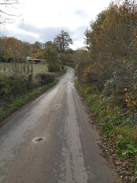
The Moor, located in Devon, England, is a vast expanse of open land characterized by rolling hills, heather-covered moorland, and rocky outcrops. The landscape is dotted with picturesque villages, ancient stone circles, and historic ruins, providing visitors with a glimpse into the region's rich history and natural beauty.
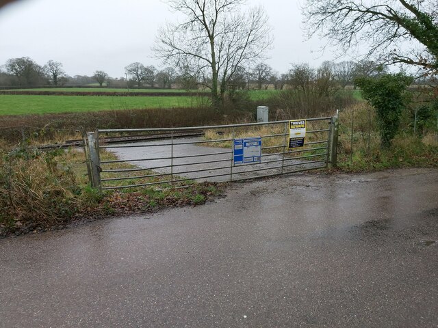
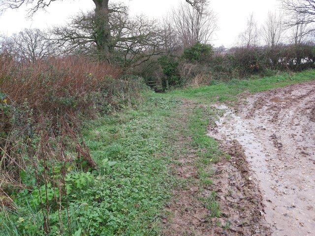
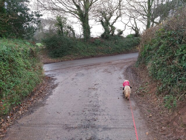
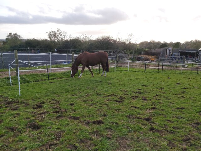
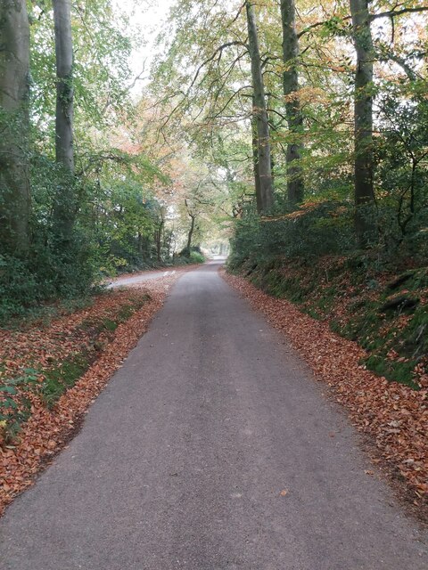
The Moor is home to a variety of wildlife, including Dartmoor ponies, red deer, and a wide array of bird species. Visitors can explore the area on foot, horseback, or by bike, following a network of trails that wind through the rugged terrain.
The Moor is also known for its unique geological formations, such as the granite tors that rise up from the landscape, offering panoramic views of the surrounding countryside. These tors are a popular destination for hikers and climbers looking to challenge themselves on the rocky slopes.
Overall, The Moor offers visitors a chance to immerse themselves in the wild and untamed beauty of the English countryside, making it a popular destination for nature lovers and outdoor enthusiasts alike.
If you have any feedback on the listing, please let us know in the comments section below.
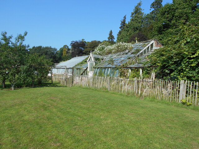
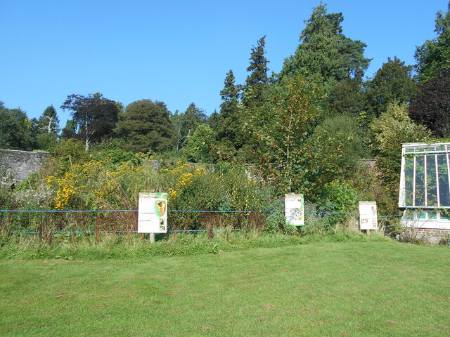
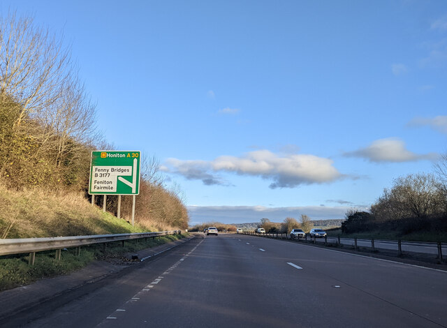
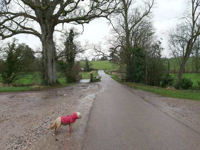
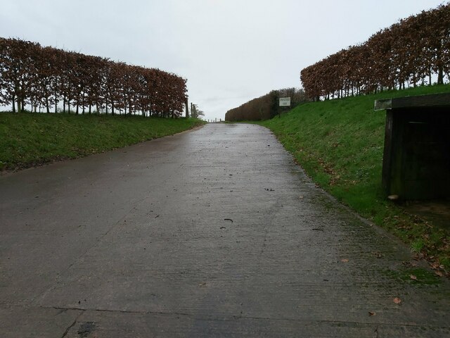
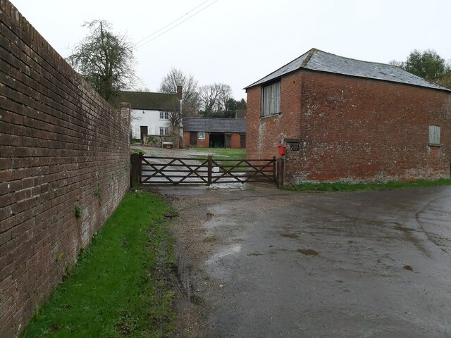
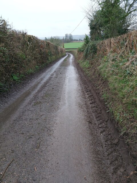
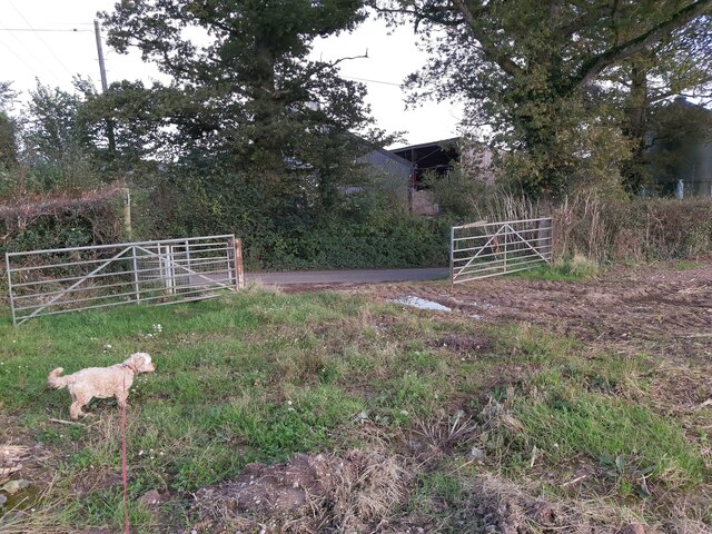
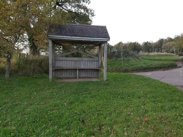
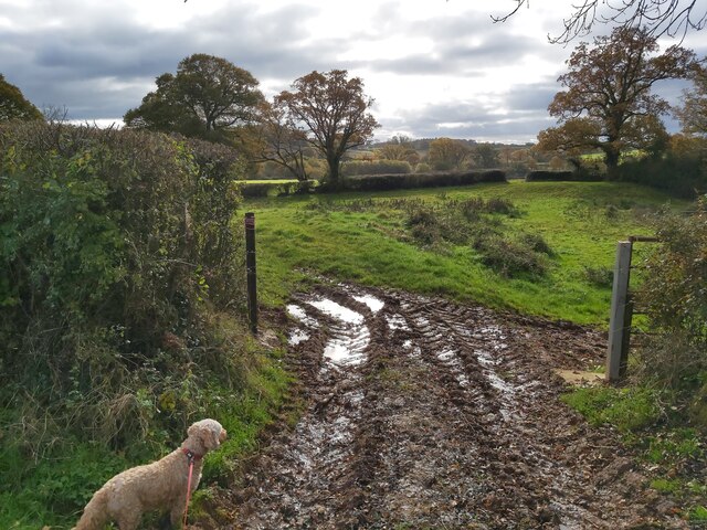
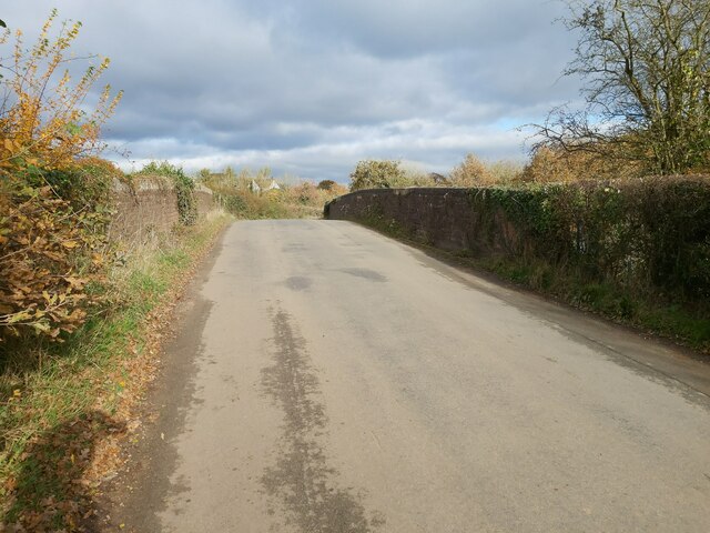
The Moor Images
Images are sourced within 2km of 50.77252/-3.3056931 or Grid Reference SY0897. Thanks to Geograph Open Source API. All images are credited.
The Moor is located at Grid Ref: SY0897 (Lat: 50.77252, Lng: -3.3056931)
Administrative County: Devon
District: East Devon
Police Authority: Devon and Cornwall
What 3 Words
///decoded.fewer.vies. Near Ottery St Mary, Devon
Nearby Locations
Related Wikis
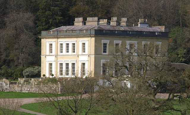
Escot, Talaton
Escot in the parish of Talaton, near Ottery St Mary in Devon, is an historic estate. The present mansion house known as Escot House is a grade II listed...

Fairmile, Devon
Fairmile is a hamlet in the English county of Devon. In the late 1990s, Fairmile became a focus of direct action protest activities, as squatters attempted...

Talaton
Talaton is a village and a civil parish in the English county of Devon. It lies approximately 6 miles to the west of Honiton, 3 miles to the north of...

Cadhay
Cadhay is an historic estate in the parish of Ottery St Mary in Devon, England, 10 miles (16 km) east of Exeter and 5 miles (8 km) from the sea at Sidmouth...
Nearby Amenities
Located within 500m of 50.77252,-3.3056931Have you been to The Moor?
Leave your review of The Moor below (or comments, questions and feedback).