Dogkennel Wood
Wood, Forest in Cumberland Copeland
England
Dogkennel Wood
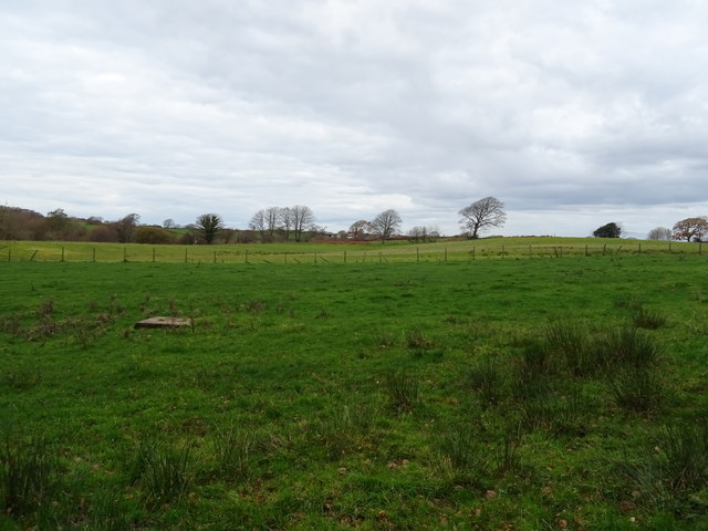
Dogkennel Wood is a picturesque forest located in Cumberland County, England. Spread across an area of approximately 100 acres, it offers a tranquil retreat for nature enthusiasts and dog owners alike. The wood is named after the former use of the area as a kennel for hunting dogs, highlighting its historical significance.
The wood is primarily composed of a variety of deciduous trees, including oak, ash, beech, and birch. These majestic trees create a dense canopy, providing shade and shelter to the diverse range of wildlife that calls Dogkennel Wood home. Visitors can expect to see an array of bird species, such as woodpeckers, nuthatches, and owls, as well as small mammals like squirrels and foxes.
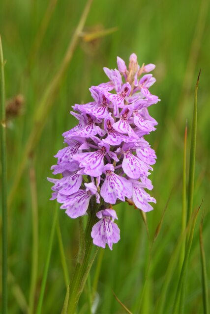
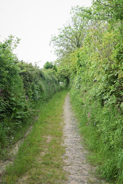
The forest floor is covered with a carpet of vibrant wildflowers during the spring and summer months, adding to the beauty of the wood. Numerous walking paths wind through the woodland, allowing visitors to explore its hidden corners and discover its natural wonders. These paths are well-maintained, making it accessible to all, including families with young children and individuals with limited mobility.
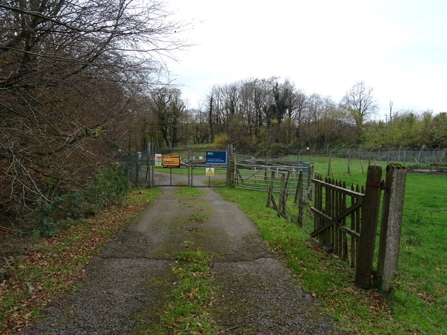
Dogkennel Wood is also a popular destination for dog owners, as it provides a safe and secure environment for pets to roam and explore. The wood is well-known for its dog-friendly policy, with designated areas for off-leash play. Dog waste bins are conveniently placed throughout the wood, promoting responsible pet ownership.
Overall, Dogkennel Wood in Cumberland offers a serene escape from the hustle and bustle of everyday life. Its natural beauty, diverse wildlife, and dog-friendly facilities make it a must-visit destination for nature lovers and pet owners in the region.
If you have any feedback on the listing, please let us know in the comments section below.
Dogkennel Wood Images
Images are sourced within 2km of 54.390421/-3.4161788 or Grid Reference NY0800. Thanks to Geograph Open Source API. All images are credited.


Dogkennel Wood is located at Grid Ref: NY0800 (Lat: 54.390421, Lng: -3.4161788)
Administrative County: Cumbria
District: Copeland
Police Authority: Cumbria
What 3 Words
///honey.doubt.meals. Near Seascale, Cumbria
Nearby Locations
Related Wikis

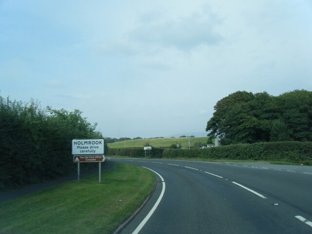
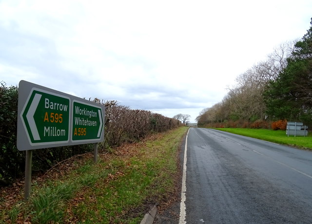
Holmrook
Holmrook is a linear village in the English county of Cumbria. It lies along the A595 road on the west banks of the River Irt. The B5344 road connects...

Irton Cross
Irton Cross is an Anglo-Saxon cross in the graveyard of St Paul's Church, in the parish of Irton with Santon, Cumbria, England. Dating from the early...

St Paul, Irton
St Paul, Irton is an active parish church in the civil parish of Irton with Santon, Cumbria, England. It is in the Calder Deanery of the Anglican diocese...
Drigg
Drigg is a village situated in the civil parish of Drigg and Carleton on the West Cumbria coast of the Irish Sea and on the boundary of the Lake District...
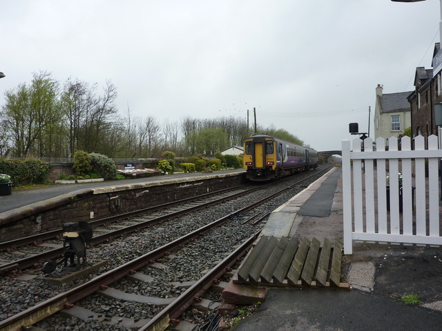
Drigg railway station
Drigg is a railway station on the Cumbrian Coast Line, which runs between Carlisle and Barrow-in-Furness. The station, situated 31 miles (50 km) north...

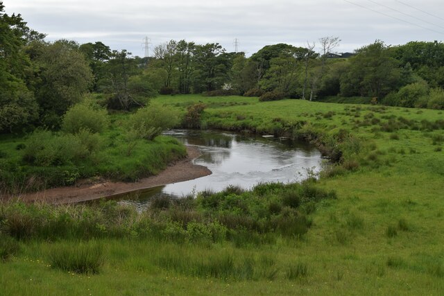
River Irt
The River Irt is a river in the county of Cumbria in northern England. It flows for 14 miles (22 km) from the south-western end of Wast Water, the deepest...
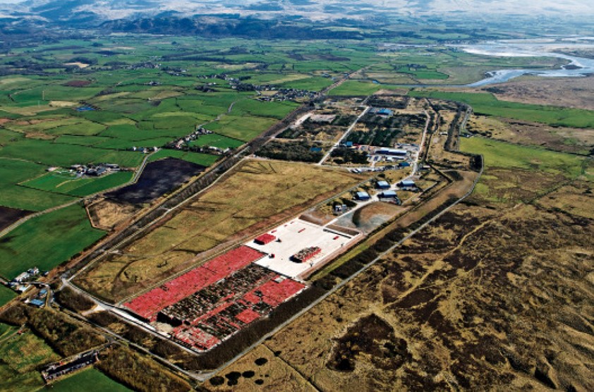
Low Level Waste Repository
The Low Level Waste Repository is the UK's central long-term store for low-level radioactive waste located on the West Cumbrian coast near Drigg village...

Muncaster Mill railway station
Muncaster Mill railway station is a railway station on the 15 in (381 mm) gauge Ravenglass & Eskdale Railway in Cumbria, England. The station is located...
Nearby Amenities
Located within 500m of 54.390421,-3.4161788Have you been to Dogkennel Wood?
Leave your review of Dogkennel Wood below (or comments, questions and feedback).