Broomhill Wood

Wood, Forest in Cumberland Copeland

England

Broomhill Wood

A595 at Holmrook village boundary
A595 at Holmrook village boundary Credit: Colin Pyle

Broomhill Wood is a picturesque forest located in Cumberland, a historic county in the northwestern part of England. Covering an area of approximately 100 acres, it is a beloved natural gem for both locals and visitors alike. The wood is situated in close proximity to the village of Broomhill, which adds to its charm and accessibility.

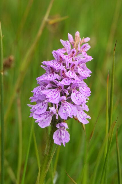
Broomhill Wood is predominantly composed of deciduous trees such as oak, beech, and ash, which create a lush and vibrant canopy during the summer months. The woodland floor is adorned with a variety of wildflowers, ferns, and mosses, adding to its enchanting appeal. The forest is home to a diverse range of flora and fauna, including various species of birds, butterflies, and small mammals.

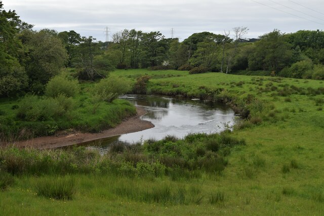
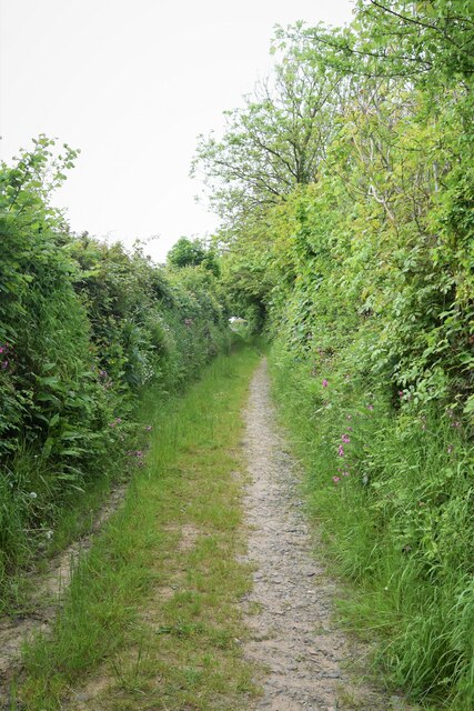
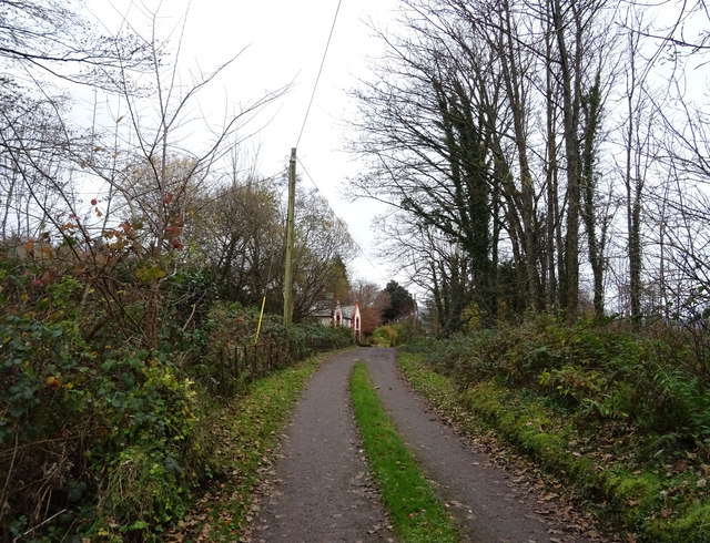
The wood offers a network of well-maintained walking trails, allowing visitors to explore its natural beauty at their own pace. The paths wind through the forest, leading to captivating viewpoints and tranquil spots, perfect for picnicking or simply enjoying the peaceful surroundings. Broomhill Wood also features a small stream that meanders through its heart, adding to the serenity and providing a refreshing respite on warmer days.

Nature enthusiasts and photographers are drawn to Broomhill Wood due to its abundant wildlife and stunning seasonal displays. The forest offers an excellent opportunity for birdwatching, with species such as the great spotted woodpecker, tawny owl, and common buzzard regularly spotted. Additionally, the changing colors of the trees during autumn create a breathtaking spectacle that attracts visitors from far and wide.

Overall, Broomhill Wood is a captivating and idyllic forest that offers a tranquil retreat for nature lovers, hikers, and anyone seeking solace in the beauty of the natural world.

If you have any feedback on the listing, please let us know in the comments section below.

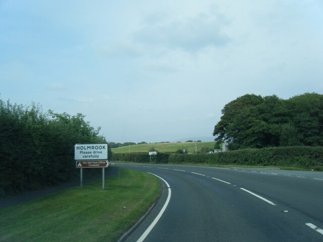
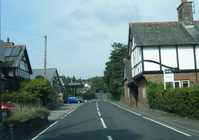
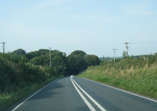
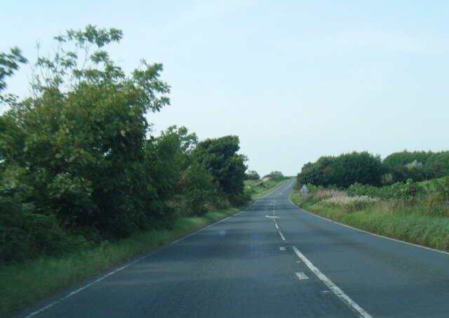
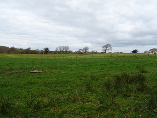
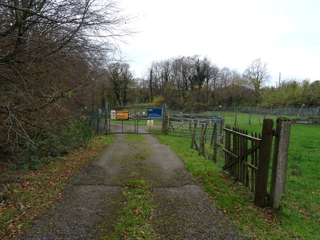
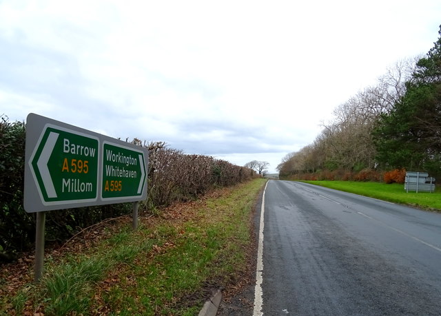
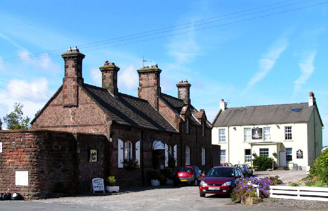
Broomhill Wood Images

Images are sourced within 2km of 54.392853/-3.413444 or Grid Reference NY0800. Thanks to Geograph Open Source API. All images are credited.

A595 at Holmrook village boundary
A595 in Holmrook village
A595 nearing Blackbeck Bridge
A595 near High House Farm
Whitecroft, Santon Santon is a tiny hamlet about half a mile from Santon Bridge on the road to Gosforth. This row of cottages, which includes holiday lets, is the most prominent building.
Whitecroft, Santon
Santon is a tiny hamlet about half a mile from Santon Bridge on the road to Gosforth. This row of cottages, which includes holiday lets, is the most prominent building.
Graveyard Of St Paul's Church The graveyard contains the historic Irton High Cross and a copy in the form of the Brocklebank Memorial
Graveyard Of St Paul's Church
The graveyard contains the historic Irton High Cross and a copy in the form of the Brocklebank Memorial
Minor road towards Santon
Road junction in Santon
Common Spotted Orchid, Dactylorhiza fuchsii Very large numbers of this orchid growing in the meadow near  the Packhorse Bridge
Common Spotted Orchid, Dactylorhiza fuchsii
Very large numbers of this orchid growing in the meadow near the Packhorse Bridge
Overlooking the River Irt
Bridleway toward St. Peter, Drigg
Irton Cross Situated in the graveyard of St Paul's Church, the Irton Cross is 10 feet tall and was erected in the early 9th Century. The cross has fine carvings and is one of the most important crosses in Cumbria.
Irton Cross
Situated in the graveyard of St Paul's Church, the Irton Cross is 10 feet tall and was erected in the early 9th Century. The cross has fine carvings and is one of the most important crosses in Cumbria.
Church of St Paul, Irton Built in 1857 with additions in 1866 and 1872, St Paul’s Church stands in an isolated position and is a good example of a small Victorian Church. It is a Grade II* Listed Building. <span class="nowrap"><a title="http://www.britishlistedbuildings.co.uk/101086671-church-of-st-paul-irton-with-santon#.WYzZbTGWw5s" rel="nofollow ugc noopener" href="http://www.britishlistedbuildings.co.uk/101086671-church-of-st-paul-irton-with-santon#.WYzZbTGWw5s">Link</a><img style="margin-left:2px;" alt="External link" title="External link - shift click to open in new window" src="https://s1.geograph.org.uk/img/external.png" width="10" height="10"/></span>
Church of St Paul, Irton
Built in 1857 with additions in 1866 and 1872, St Paul’s Church stands in an isolated position and is a good example of a small Victorian Church. It is a Grade II* Listed Building. LinkExternal link
Old Wayside Cross in St Pauls churchyard, Irton Irton Cross, in St Pauls churchyard, parish of Irton with Santon (Copeland District), South side of church.

Scheduled Monument.
List Entry Number: 1012642 <span class="nowrap"><a title="https://historicengland.org.uk/listing/the-list/list-entry/1012642" rel="nofollow ugc noopener" href="https://historicengland.org.uk/listing/the-list/list-entry/1012642">Link</a><img style="margin-left:2px;" alt="External link" title="External link - shift click to open in new window" src="https://s1.geograph.org.uk/img/external.png" width="10" height="10"/></span>

To be surveyed

Milestone Society National ID: CBCL_IRT
Old Wayside Cross in St Pauls churchyard, Irton
Irton Cross, in St Pauls churchyard, parish of Irton with Santon (Copeland District), South side of church. Scheduled Monument. List Entry Number: 1012642 LinkExternal link To be surveyed Milestone Society National ID: CBCL_IRT
Track (footpath) towards Holmrook Hall
Grazing near sewage works Off the A595.
Grazing near sewage works
Off the A595.
Sewage works off the A595 north of Holmrook
A595 towards Whitehaven
Show me another place!

Broomhill Wood is located at Grid Ref: NY0800 (Lat: 54.392853, Lng: -3.413444)

Administrative County: Cumbria

District: Copeland

Police Authority: Cumbria

What 3 Words

///whirlpool.jumbled.freely. Near Seascale, Cumbria

Related Wikis

St Paul, Irton

St Paul, Irton is an active parish church in the civil parish of Irton with Santon, Cumbria, England. It is in the Calder Deanery of the Anglican diocese...

Irton Cross

Irton Cross is an Anglo-Saxon cross in the graveyard of St Paul's Church, in the parish of Irton with Santon, Cumbria, England. Dating from the early...

Holmrook

Holmrook is a linear village in the English county of Cumbria. It lies along the A595 road on the west banks of the River Irt. The B5344 road connects...

Drigg

Drigg is a village situated in the civil parish of Drigg and Carleton on the West Cumbria coast of the Irish Sea and on the boundary of the Lake District...

Nearby Amenities

Located within 500m of 54.392853,-3.413444
Bus Stop
Greengarth Hall (S bound)
Naptan AtcoCode: 090050112306
Naptan Bearing: S
Naptan BusStopType: CUS
Naptan CommonName: Greengarth Hall (S bound)
Naptan Indicator: o/s
Naptan Landmark: Greengarth Hall
Naptan NaptanCode: cumatwgw
Naptan Street: A595(T)
Naptan Verified: no
Shelter: no
Source: naptan_import
Lat/Long: 54.3907328/-3.4191745
Bus Stop
Greengarth Halll (N bound)
Naptan AtcoCode: 090050113338
Naptan Bearing: N
Naptan BusStopType: CUS
Naptan CommonName: Greengarth Halll (N bound)
Naptan Indicator: opp
Naptan Landmark: Greengarth Halll
Naptan NaptanCode: cumatwjd
Naptan Street: A595(T)
Naptan Verified: no
Shelter: no
Source: naptan_import
Lat/Long: 54.3907389/-3.4194211
Post Box
Post Box Type: wall
Ref: CA19 108
Lat/Long: 54.3909947/-3.4181987
Power: pole
Lat/Long: 54.3955986/-3.4183963
Power: pole
Lat/Long: 54.3955681/-3.4171088
Power: pole
Lat/Long: 54.3951723/-3.4160855
Power: pole
Lat/Long: 54.3943517/-3.4139881
Power: pole
Lat/Long: 54.394094/-3.4132826
Power: pole
Lat/Long: 54.393257/-3.412714
Power: pole
Lat/Long: 54.3917578/-3.4117055
Power: pole
Lat/Long: 54.3909472/-3.411161
Power: pole
Lat/Long: 54.3901539/-3.4106152
Power: pole
Lat/Long: 54.3923614/-3.41672
Power: pole
Lat/Long: 54.3956086/-3.4152222
Power: pole
Lat/Long: 54.3960446/-3.4143019
Power: pole
Lat/Long: 54.3964617/-3.4133567
The data included in this document is from www.openstreetmap.org. The data is made available under ODbL.

Have you been to Broomhill Wood?

Leave your review of Broomhill Wood below (or comments, questions and feedback).