Alder Grove
Wood, Forest in Devon East Devon
England
Alder Grove

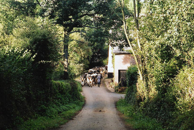
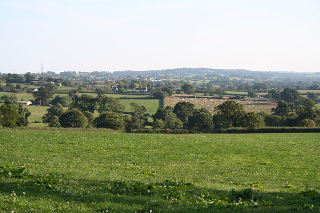
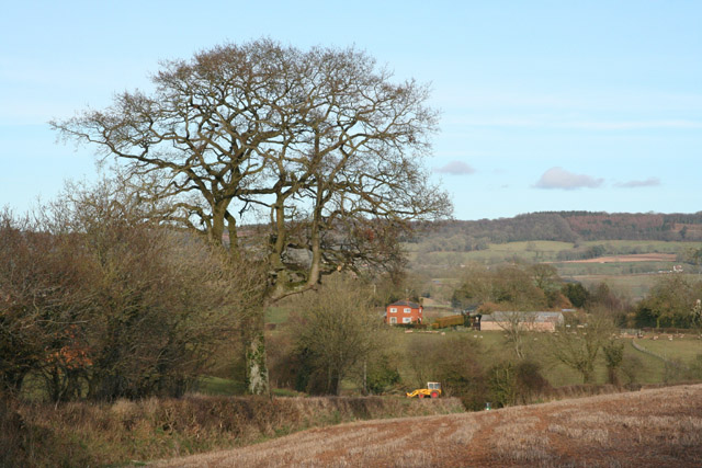
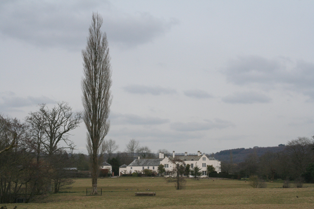
Alder Grove is a picturesque woodland located in the county of Devon, England. Situated in the heart of the region, this forested area is renowned for its natural beauty and tranquility. Spanning over several acres, Alder Grove is home to a diverse range of tree species, with a prominent presence of alder trees, from which it derives its name.
The forest boasts a lush undergrowth, filled with ferns, mosses, and wildflowers, creating a vibrant and enchanting atmosphere. The thick canopy of trees provides a sheltered habitat for a variety of wildlife, including birds, squirrels, and deer. Bird enthusiasts will be delighted to spot rare species such as the woodpecker and nightingale, which are known to frequent the area.
Alder Grove offers visitors an opportunity to immerse themselves in nature and escape the hustle and bustle of everyday life. It is a popular destination for hikers and nature lovers, thanks to its well-marked trails and scenic viewpoints. The forest paths wind through the trees, leading to open clearings and babbling brooks, adding to the charm of the location.
In addition to its natural beauty, Alder Grove also holds historical significance. The ancient ruins of a stone circle can be found within its boundaries, hinting at the area's long-standing human presence. Archaeological enthusiasts can explore these remnants and learn more about the past civilizations that once thrived in this woodland.
Overall, Alder Grove in Devon is a haven of tranquility, offering a perfect retreat for those seeking solace in nature. Its stunning landscape, diverse wildlife, and historical appeal make it a must-visit destination for both locals and tourists alike.
If you have any feedback on the listing, please let us know in the comments section below.
Alder Grove Images
Images are sourced within 2km of 50.814698/-3.3055774 or Grid Reference ST0802. Thanks to Geograph Open Source API. All images are credited.


![Plymtree: Danes Mill A converted watermill and cottage by the river Tale which runs, hidden, between the orchard in the foreground and the buildings. In 1857 the mill contained machinery including two waterwheels and three pairs of stones and was occupied by Mr Marks [The Western Times 26 November 1875 p 1 col 1] John Baker was miller in the decade 1882 to 1892 and the last miller was tjought to be William Glanville, here in 1919](https://s0.geograph.org.uk/photos/14/02/140260_5f69a065.jpg)


Alder Grove is located at Grid Ref: ST0802 (Lat: 50.814698, Lng: -3.3055774)
Administrative County: Devon
District: East Devon
Police Authority: Devon and Cornwall
What 3 Words
///drawn.sprouted.includes. Near Whimple, Devon
Nearby Locations
Related Wikis

Payhembury
Payhembury is a village and civil parish in the East Devon district of Devon, England. The village is about six miles west of Honiton. At the time of the 2021 consensus the parish had a population of ~790, and it is surrounded clockwise from the north by the parishes of Broadhembury, Awliscombe, Buckerell, Feniton, Talaton, Clyst Hydon and Plymtree.
The Grange, Broadhembury
The Grange is a historic estate in the parish of Broadhembury in Devon, England. The surviving 16th-century mansion house (known as The Grange) is listed Grade I on the National Heritage List for England. == History == The Grange estate served originally as the grange of nearby Dunkeswell Abbey, the lands of which were sold off by the Crown following the Dissolution of the Monasteries.

Broadhembury
Broadhembury is a village and civil parish in the East Devon district of Devon, England, 5 miles (8 km) north-west of Honiton.The civil parish includes the hamlets of Kerswell, Dulford, Crammer Barton, Colliton and Luton, all to the west of the village. According to the 2001 census the civil parish had a population of 654. Broadhembury is part of the electoral ward of Tale Vale.

Plymtree
Plymtree is a small village and civil parish about 3.5 miles south of the town of Cullompton in the county of Devon, England. The parish is surrounded, clockwise from the north, by the parishes of Broadhembury, Payhembury, Clyst Hydon and Cullompton. In 2001 it had a population of 605, compared to 359 in 1901.

Hembury
Hembury is a Neolithic causewayed enclosure and Iron Age hillfort near Honiton in Devon. Its history stretches from the late fifth and early fourth millennia BC to the Roman invasion. The fort is situated on a south facing promontory at the end of a 240m high ridge in the Blackdown Hills.

Tiverton and Honiton (UK Parliament constituency)
Tiverton and Honiton is a constituency in Devon, England. The current MP is Richard Foord of the Liberal Democrats, elected at a by-election on 23 June 2022. Prior to the by-election, the constituency had always returned a Conservative MP since its creation in 1997.

Feniton railway station
Feniton railway station serves the village of Feniton in Devon, England. It was opened by the London and South Western Railway (LSWR) in 1860 but is now operated by South Western Railway which provides services on the West of England Main Line. It is 159 miles 24 chains (256.4 km) down the line from London Waterloo.

Feniton
Feniton is a village and civil parish in East Devon in the English county of Devon. The village lies about 4 miles (6.4 km) west of Honiton, 3 miles (4.8 km) north of Ottery St Mary, and 2 miles (3.2 km) east of Talaton. The parish of Feniton incorporates the hamlets of Colesworthy, Higher Cheriton and Curscombe.
Nearby Amenities
Located within 500m of 50.814698,-3.3055774Have you been to Alder Grove?
Leave your review of Alder Grove below (or comments, questions and feedback).