Luton

Settlement in Devon East Devon

England

Luton

About to enter Colliton on the A373, heading south
About to enter Colliton on the A373, heading south Credit: Rob Purvis

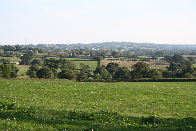
Luton is a small village located in the county of Devon, England. Situated in the South West region of the country, Luton is nestled in the picturesque Teign Valley, surrounded by rolling hills and lush green countryside. The village is part of the larger district of Teignbridge and is approximately 9 miles southwest of the bustling city of Exeter.

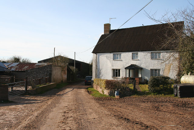
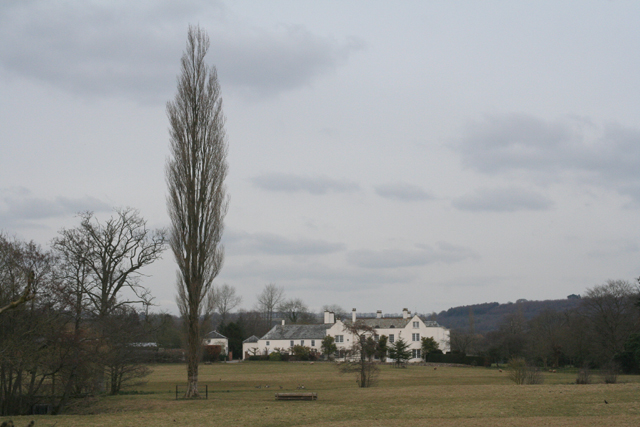
Luton is known for its peaceful and tranquil atmosphere, making it an ideal destination for those seeking a quiet escape from the urban hustle and bustle. The village is characterized by its charming thatched cottages, traditional stone buildings, and narrow winding lanes that reflect its rich historical heritage.

One of the prominent landmarks in Luton is St. John the Baptist Church, a beautiful medieval building that dates back to the 13th century. The church features stunning architectural details and houses a collection of historical artifacts.

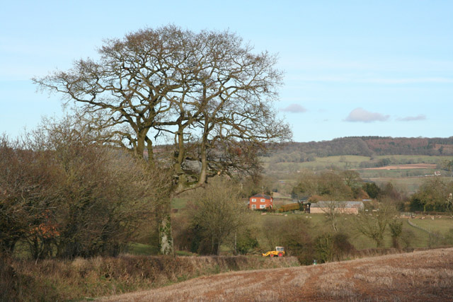
The surrounding area of Luton offers ample opportunities for outdoor activities and exploration. The nearby Dartmoor National Park is a popular destination for hiking, cycling, and wildlife spotting. The Teign Valley itself is home to picturesque walking trails that meander along the river and through woodlands, providing breathtaking views of the surrounding countryside.

Although Luton is a small village, it is well-connected to the nearby towns and cities. The village has a small selection of local amenities, including a village shop, a pub, and a primary school, ensuring that residents have access to basic necessities.

Overall, Luton is a charming village that offers a peaceful retreat in the heart of the Devonshire countryside, showcasing the beauty and tranquility of rural England.

If you have any feedback on the listing, please let us know in the comments section below.

Luton Images

Images are sourced within 2km of 50.817653/-3.304557 or Grid Reference ST0802. Thanks to Geograph Open Source API. All images are credited.

About to enter Colliton on the A373, heading south
At Colliton Cross junction on the A373, heading towards Honiton
Lovely tree at the junction on the A373 for Upton
Payhembury: Hembury from near Haskins Cross View to Broadhembury. The ramparts and ditches of Hembury, an Iron Age hillfort, remain at the end of the wooded ridge
Payhembury: Hembury from near Haskins Cross
View to Broadhembury. The ramparts and ditches of Hembury, an Iron Age hillfort, remain at the end of the wooded ridge
Plymtree: view south south east towards Payhembury Looking from a point east of Plymtree village by the lane to Clyst William
Plymtree: view south south east towards Payhembury
Looking from a point east of Plymtree village by the lane to Clyst William
Broadhembury: the Upton turning By the A373 Cullompton – Honiton road
Broadhembury: the Upton turning
By the A373 Cullompton – Honiton road
Payhembury: Upton Farm On a side road between Colliton and Payhembury. Looking north west
Payhembury: Upton Farm
On a side road between Colliton and Payhembury. Looking north west
Payhembury: north east to Hembury fort With houses at Rull in mid distance. Hembury was an Iron Age fort which was later utilised by the Roman army under Vespasian
Payhembury: north east to Hembury fort
With houses at Rull in mid distance. Hembury was an Iron Age fort which was later utilised by the Roman army under Vespasian
Payhembury: Alan’s Motors Near the western end of the village. Looking north east
Payhembury: Alan’s Motors
Near the western end of the village. Looking north east
Payhembury: Tuck Mill Farm Seen from the bridge over the Tale; looking north west
Payhembury: Tuck Mill Farm
Seen from the bridge over the Tale; looking north west
Plymtree: towards Wrights Farm Looking east with the Hembury ridge in the background
Plymtree: towards Wrights Farm
Looking east with the Hembury ridge in the background
Plymtree: Clyst William Cross Farmhouse At Clyst William Cross. The road ahead, and to the left, runs north east to Danes Mill
Plymtree: Clyst William Cross Farmhouse
At Clyst William Cross. The road ahead, and to the left, runs north east to Danes Mill
Plymtree: Danes Mill A converted watermill and cottage by the river Tale which runs, hidden, between the orchard in the foreground and the buildings. In 1857 the mill contained machinery including two waterwheels and three pairs of stones and was occupied by Mr Marks [The Western Times 26 November 1875 p 1 col 1] John Baker was miller in the decade 1882 to 1892 and the last miller was tjought to be William Glanville, here in 1919
Plymtree: Danes Mill
A converted watermill and cottage by the river Tale which runs, hidden, between the orchard in the foreground and the buildings. In 1857 the mill contained machinery including two waterwheels and three pairs of stones and was occupied by Mr Marks [The Western Times 26 November 1875 p 1 col 1] John Baker was miller in the decade 1882 to 1892 and the last miller was tjought to be William Glanville, here in 1919
Broadhembury: The Grange Looking east from a public footpath which runs to Colliton Bridge
Broadhembury: The Grange
Looking east from a public footpath which runs to Colliton Bridge
Broadhembury: weir on the river Tale Looking east from a public footpath to Colliton Bridge. The weir and footbridge are in the private grounds of The Grange
Broadhembury: weir on the river Tale
Looking east from a public footpath to Colliton Bridge. The weir and footbridge are in the private grounds of The Grange
Broadhembury: field by Egremont Cross Looking south west
Broadhembury: field by Egremont Cross
Looking south west
St Mary's church
St Mary's church
St Mary's church - interior The church looked particularly beautiful following a wedding at the weekend.
St Mary's church - interior
The church looked particularly beautiful following a wedding at the weekend.
Show me another place!

Luton is located at Grid Ref: ST0802 (Lat: 50.817653, Lng: -3.304557)

Administrative County: Devon

District: East Devon

Police Authority: Devon and Cornwall

What 3 Words

///settled.obstruction.described. Near Whimple, Devon

Related Wikis

Payhembury

Payhembury is a village and civil parish in the East Devon district of Devon, England. The village is about six miles west of Honiton. At the time of...

The Grange, Broadhembury

The Grange is a historic estate in the parish of Broadhembury in Devon, England. The surviving 16th-century mansion house (known as The Grange) is listed...

Broadhembury

Broadhembury is a village and civil parish in the East Devon district of Devon, England, 5 miles (8 km) north-west of Honiton.The civil parish includes...

Hembury

Hembury is a Neolithic causewayed enclosure and Iron Age hillfort near Honiton in Devon. Its history stretches from the late fifth and early fourth millennia...

Plymtree

Plymtree is a small village and civil parish about 3.5 miles south of the town of Cullompton in the county of Devon, England. The parish is surrounded...

Tiverton and Honiton (UK Parliament constituency)

Tiverton and Honiton is a constituency in Devon, England. The current MP is Richard Foord of the Liberal Democrats, elected at a by-election on 23 June...

Kerswell Priory

Kerswell Priory (alias Carswell) was a small Cluniac priory in the parish of Broadhembury in Devon, England. == History == According to the Ecclesiastical...

Feniton railway station

Feniton railway station serves the village of Feniton in Devon, England. It was opened by the London and South Western Railway (LSWR) in 1860 but is now...

Nearby Amenities

Located within 500m of 50.817653,-3.304557
Luton
Is In: Devon, England, UK
Place: hamlet
Lat/Long: 50.8183581/-3.3042134
Post Box
Lat/Long: 50.8191719/-3.3040153
Power: pole
Lat/Long: 50.8205266/-3.3093363
Power: pole
Lat/Long: 50.8205452/-3.3081722
Power: pole
Lat/Long: 50.820574/-3.3070189
Power: pole
Lat/Long: 50.8205859/-3.3057877
Power: pole
Lat/Long: 50.8206248/-3.3045727
Power: pole
Lat/Long: 50.8212789/-3.3035374
Generator Method: photovoltaic
Generator Output Electricity: yes
Generator Source: solar
Generator Type: solar_photovoltaic_panel
Location: roof
Power: generator
Lat/Long: 50.8194988/-3.3032718
Generator Method: photovoltaic
Generator Output Electricity: yes
Generator Source: solar
Generator Type: solar_photovoltaic_panel
Location: roof
Power: generator
Lat/Long: 50.8192031/-3.3031887
Generator Method: photovoltaic
Generator Output Electricity: yes
Generator Source: solar
Generator Type: solar_photovoltaic_panel
Location: roof
Power: generator
Lat/Long: 50.8193116/-3.3030881
Generator Method: photovoltaic
Generator Output Electricity: yes
Generator Source: solar
Generator Type: solar_photovoltaic_panel
Location: roof
Power: generator
Lat/Long: 50.8193091/-3.3033483
Generator Method: photovoltaic
Generator Output Electricity: yes
Generator Source: solar
Generator Type: solar_photovoltaic_panel
Location: roof
Power: generator
Lat/Long: 50.8192031/-3.3032222
Generator Method: photovoltaic
Generator Output Electricity: yes
Generator Source: solar
Generator Type: solar_photovoltaic_panel
Location: roof
Power: generator
Lat/Long: 50.8179017/-3.304102
Generator Method: photovoltaic
Generator Output Electricity: yes
Generator Source: solar
Generator Type: solar_photovoltaic_panel
Location: roof
Power: generator
Lat/Long: 50.8185973/-3.3024953
The data included in this document is from www.openstreetmap.org. The data is made available under ODbL.

Have you been to Luton?

Leave your review of Luton below (or comments, questions and feedback).