Greenthwaite Moss
Wood, Forest in Cumberland Copeland
England
Greenthwaite Moss

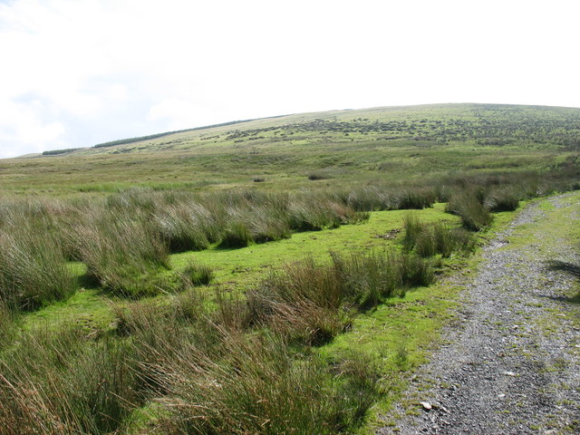
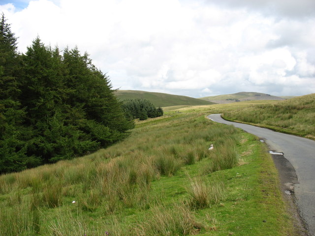
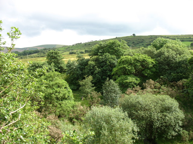
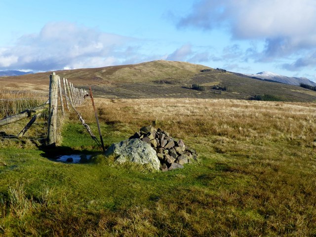
Greenthwaite Moss is a picturesque woodland located in Cumberland, England. Situated amidst the rolling hills and lush countryside, it is a haven for nature enthusiasts and those seeking tranquility. Spanning over a vast area, the moss is home to a diverse range of flora and fauna.
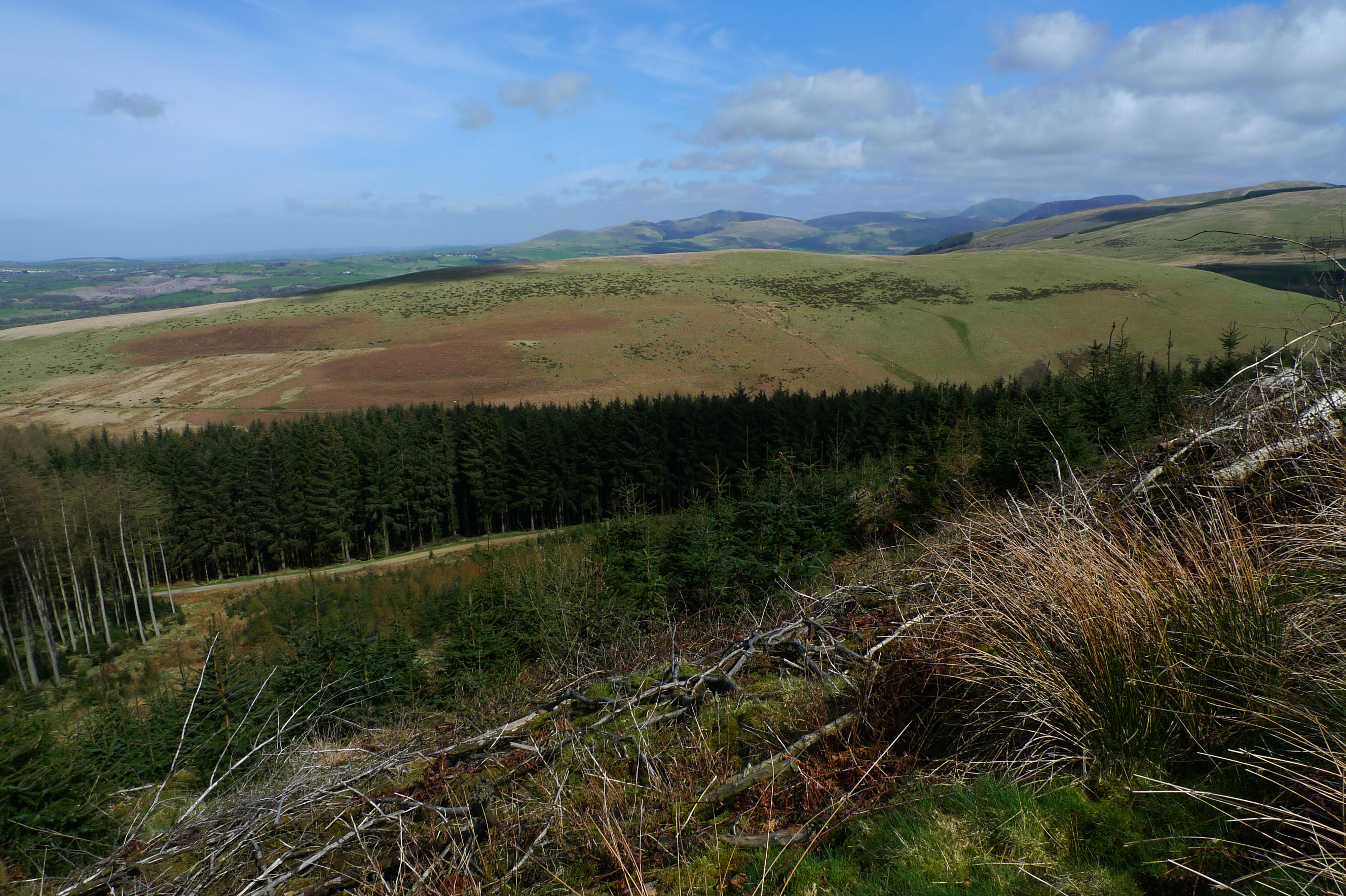
The moss is primarily composed of dense forest, with towering trees providing ample shade and creating a mysterious atmosphere. The woodland is predominantly made up of deciduous trees such as oak, beech, and ash, their leaves casting dappled sunlight on the forest floor. These trees provide a habitat for a variety of wildlife, including birds, squirrels, and deer.
Walking through Greenthwaite Moss, visitors will find themselves immersed in a world of natural beauty. The forest floor is covered in a thick carpet of moss and ferns, creating a soft and inviting path. Small streams meander through the woods, their gentle babbling adding to the enchanting ambiance. Moss-covered rocks and fallen tree trunks provide resting spots for weary explorers.
The moss is also renowned for its vibrant display of wildflowers. During the spring and summer months, the woodland comes alive with the vibrant colors of bluebells, primroses, and wild orchids. This explosion of color attracts numerous butterflies and bees, making it a paradise for insect lovers.
Greenthwaite Moss is not only a haven for nature, but also a place of solitude and reflection. The peacefulness of the woodland, coupled with the sounds of birdsong and rustling leaves, creates an ideal environment for relaxation and mindfulness. Visitors can explore the moss on foot, following well-maintained trails that wind through the forest, or simply find a secluded spot to sit and soak in the natural beauty that surrounds them.
In conclusion, Greenthwaite Moss is a captivating woodland in Cumberland, boasting a diverse range of flora and fauna. Its towering trees, moss-covered forest floor, and vibrant wildflowers make it a must-visit destination
If you have any feedback on the listing, please let us know in the comments section below.
Greenthwaite Moss Images
Images are sourced within 2km of 54.515952/-3.446025 or Grid Reference NY0614. Thanks to Geograph Open Source API. All images are credited.


Greenthwaite Moss is located at Grid Ref: NY0614 (Lat: 54.515952, Lng: -3.446025)
Administrative County: Cumbria
District: Copeland
Police Authority: Cumbria
What 3 Words
///flamed.bloom.march. Near Frizington, Cumbria
Nearby Locations
Related Wikis
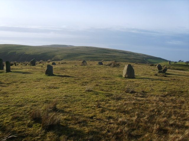
Kinniside Stone Circle
Kinniside Stone Circle (or Blakeley Raise Stone Circle) is a reconstructed stone circle in the civil parish of Ennerdale and Kinniside in Cumbria, England...

Blakeley Raise
Blakeley Raise is a fell in the English Lake District, standing at 389m. Unlike its neighbours Grike, Crag Fell and Lank Rigg it is not listed as a Wainwright...
Flat Fell
Flat Fell is a hill located on the edge of the English Lake District, standing at 272m. It is included in Alfred Wainwright's Outlying Fells of Lakeland...
Ennerdale Bridge
Ennerdale Bridge is a hamlet in the county of Cumbria, England. It is in the civil parish of Ennerdale and Kinniside. It had a total population taken at...
Nearby Amenities
Located within 500m of 54.515952,-3.446025Have you been to Greenthwaite Moss?
Leave your review of Greenthwaite Moss below (or comments, questions and feedback).