Ash Hill Plantation

Wood, Forest in Devon East Devon

England

Ash Hill Plantation

Footpath north of Venn Ottery
Footpath north of Venn Ottery Credit: David Smith

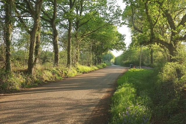
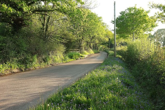
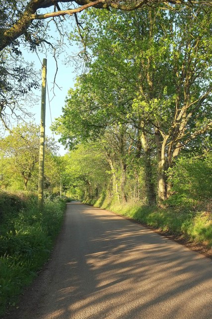
Ash Hill Plantation is a picturesque woodland retreat located in Devon, England. Situated in the heart of a lush forest, it is the perfect destination for nature enthusiasts, hikers, and those seeking tranquility away from the bustling city life.

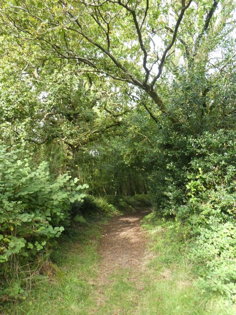
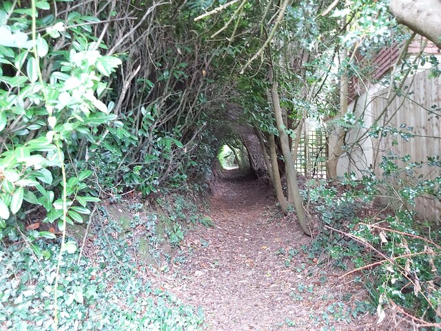
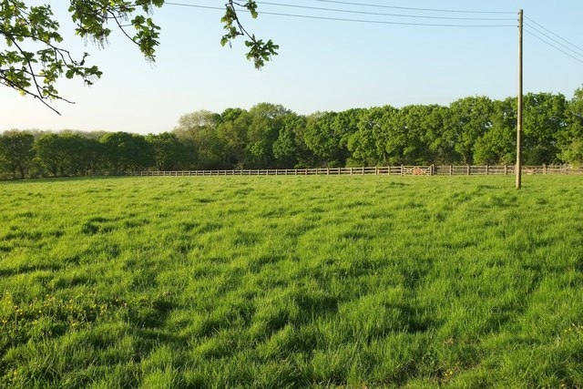
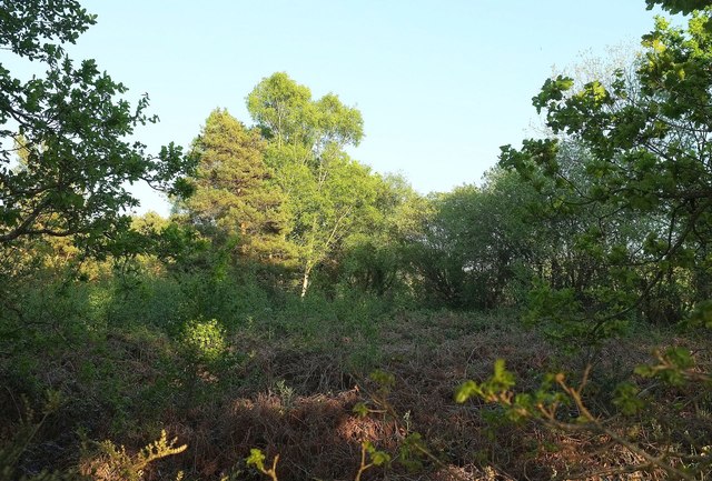
Covering an expansive area of land, Ash Hill Plantation boasts a diverse range of flora and fauna. The woodland is primarily composed of majestic oak and beech trees, providing a canopy of shade during the summer months. The forest floor is adorned with a carpet of wildflowers, creating a vibrant and colorful landscape.

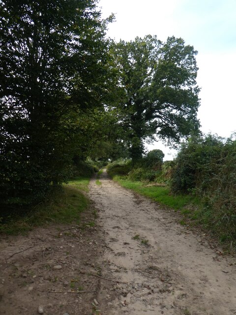
The plantation is home to an array of wildlife, including deer, foxes, badgers, and a variety of bird species. Birdwatchers can delight in spotting the elusive woodpeckers, owls, and warblers that inhabit the area. Visitors can also find numerous walking trails and footpaths that wind through the plantation, offering breathtaking views of the surrounding countryside.

For those looking to immerse themselves in the natural beauty of Ash Hill Plantation, there are several options for accommodation. The plantation offers cozy cabins and cottages nestled within the woods, providing a serene and idyllic setting for a peaceful retreat.

In addition to its natural beauty, Ash Hill Plantation also offers a range of outdoor activities. Visitors can enjoy horseback riding, cycling, and fishing in the nearby lakes and rivers. The plantation is also a popular destination for picnics and family outings, with ample picnic areas and designated spots for barbecues.

Overall, Ash Hill Plantation is a haven of natural beauty, offering a peaceful respite for those seeking to reconnect with nature in the stunning Devon countryside.

If you have any feedback on the listing, please let us know in the comments section below.

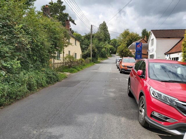
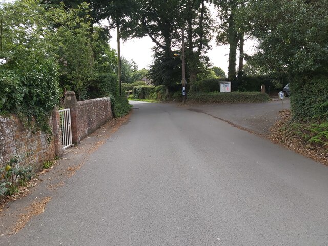
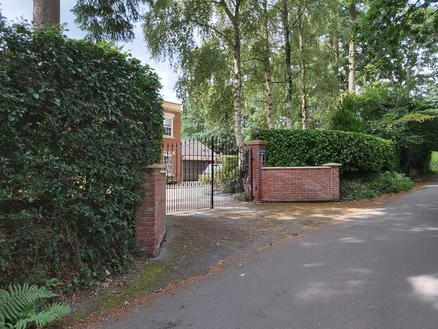
Ash Hill Plantation Images

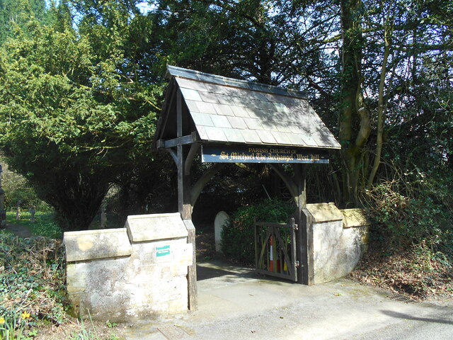
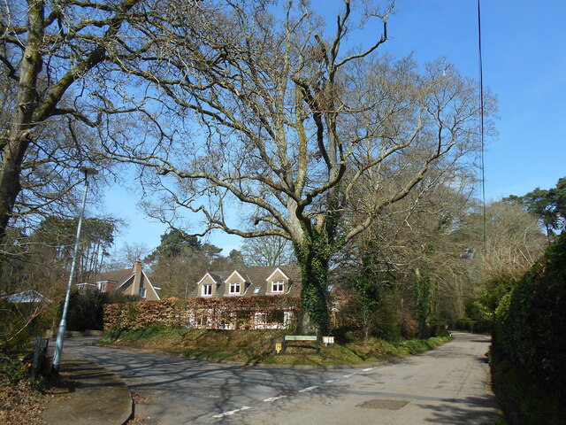
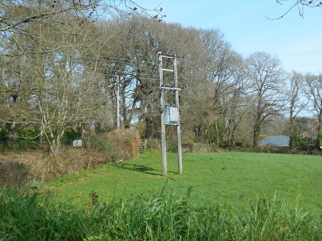
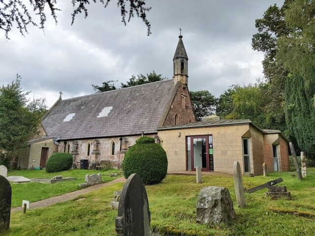
Images are sourced within 2km of 50.726153/-3.3262226 or Grid Reference SY0692. Thanks to Geograph Open Source API. All images are credited.

Footpath north of Venn Ottery
Track north of Venn Ottery
Rockbeare Hill New Trig Point Flush Bracket S5507
Churchyard view Looking north from the church of St Michael the Archangel.
Churchyard view
Looking north from the church of St Michael the Archangel.
Lichgate to St Michael the Archangel West Hill A mid Victorian church still serving the small community of West Hill.
Lichgate to St Michael the Archangel West Hill
A mid Victorian church still serving the small community of West Hill.
Broardoak Close Complete with an Oak tree on the corner.
Broardoak Close
Complete with an Oak tree on the corner.
Power lines in a field Broad Oak Road, West Hill.
Power lines in a field
Broad Oak Road, West Hill.
St Michael's Church at West Hill A view of St Michael's Church at West Hill in Devon as seen from the churchyard.
St Michael's Church at West Hill
A view of St Michael's Church at West Hill in Devon as seen from the churchyard.
Road in West Hill A view looking west, up the incline of Bendarroch Road in West Hill. Devon.
Road in West Hill
A view looking west, up the incline of Bendarroch Road in West Hill. Devon.
School Lane in West Hill Looking along School Lane in West Hill, Devon. The entrance on the right is into the British Legion Club car park.
School Lane in West Hill
Looking along School Lane in West Hill, Devon. The entrance on the right is into the British Legion Club car park.
Mulberry House in West Hill This is the gated entrance of Mulberry House, a private residence on School Lane situated in West Hill, Devon.
Mulberry House in West Hill
This is the gated entrance of Mulberry House, a private residence on School Lane situated in West Hill, Devon.
Entrance to a Footpath The entrance to a public footpath that leads south from Elsdon Lane in West Hill, Devon.
Entrance to a Footpath
The entrance to a public footpath that leads south from Elsdon Lane in West Hill, Devon.
Overgrown Footpath An overgrown public footpath, creating a tunnel, found running between Lower Broad Oak Road and School Lane in West Hill, Devon.
Overgrown Footpath
An overgrown public footpath, creating a tunnel, found running between Lower Broad Oak Road and School Lane in West Hill, Devon.
Oak Road The lane from Tipton Cross to Aylesbeare passes a triangle of access land on the left.
Oak Road
The lane from Tipton Cross to Aylesbeare passes a triangle of access land on the left.
Oak Road A lane running from Tipton Cross to Aylesbeare, and a verge covered with bluebells.
Oak Road
A lane running from Tipton Cross to Aylesbeare, and a verge covered with bluebells.
Field by Oak Trees Looking to the right from the spot where <a href="https://www.geograph.org.uk/photo/4951798">SY0592 : Oak Road</a> was taken. Continuous trees surround a field bisected by a timber fence.
Field by Oak Trees
Looking to the right from the spot where SY0592 : Oak Road was taken. Continuous trees surround a field bisected by a timber fence.
Oak Road The lane shown a little further northeast in <a href="https://www.geograph.org.uk/photo/4958156">SY0592 : Oak Road</a>. <a href="https://www.geograph.org.uk/photo/4958168">SY0592 : Field by Oak Trees</a> looks to the left from here.
Oak Road
The lane shown a little further northeast in SY0592 : Oak Road. SY0592 : Field by Oak Trees looks to the left from here.
Access land by Oak Road The view on the other side of the lane from <a href="https://www.geograph.org.uk/photo/4958168">SY0592 : Field by Oak Trees</a>. Perhaps rather clearer earlier in the day when the sun was high. The access land forms a triangle between Oak Road and two tracks.
Access land by Oak Road
The view on the other side of the lane from SY0592 : Field by Oak Trees. Perhaps rather clearer earlier in the day when the sun was high. The access land forms a triangle between Oak Road and two tracks.
Show me another place!

Ash Hill Plantation is located at Grid Ref: SY0692 (Lat: 50.726153, Lng: -3.3262226)

Administrative County: Devon

District: East Devon

Police Authority: Devon and Cornwall

What 3 Words

///saturate.binder.trader. Near Newton Poppleford, Devon

Related Wikis

West Hill, Devon

West Hill is a village in the East Devon district of Devon, England. The village lies approximately 2 miles south west of Ottery St Mary, its nearest town...

Belbury Castle

Belbury Castle is the name given to an Iron Age earthwork, probably a hill fort or livestock enclosure, close to Ottery St Mary in Devon, England. The...

Venn Ottery

Venn Ottery, historically also spelt Fen Ottery, is a small village and former civil parish, now in the parish of Newton Poppleford and Harpford, in the...

Fluxton

Fluxton is a hamlet situated in the Otter Valley, East Devon. It is made up predominantly of old farmhouses and new barn conversions and has a population...

Nearby Amenities

Located within 500m of 50.726153,-3.3262226
Maxspeed Backward: GB:nsl_single
Maxspeed Forward: 30 mph
Traffic Sign: maxspeed
Traffic Sign Direction: both
Lat/Long: 50.726648/-3.3224032
Higher Metcombe
Place: locality
Lat/Long: 50.722607/-3.3253545
Generator Method: photovoltaic
Generator Output Electricity: yes
Generator Source: solar
Generator Type: solar_photovoltaic_panel
Location: roof
Power: generator
Lat/Long: 50.7300103/-3.3231197
Generator Method: photovoltaic
Generator Output Electricity: yes
Generator Source: solar
Generator Type: solar_photovoltaic_panel
Location: roof
Power: generator
Lat/Long: 50.7304156/-3.3253031
Generator Method: photovoltaic
Generator Output Electricity: yes
Generator Source: solar
Generator Type: solar_photovoltaic_panel
Location: roof
Power: generator
Lat/Long: 50.7303952/-3.325747
Generator Method: photovoltaic
Generator Output Electricity: yes
Generator Source: solar
Generator Type: solar_photovoltaic_panel
Location: roof
Power: generator
Lat/Long: 50.7267813/-3.3232203
Generator Method: photovoltaic
Generator Output Electricity: yes
Generator Source: solar
Generator Type: solar_photovoltaic_panel
Location: roof
Power: generator
Lat/Long: 50.7275335/-3.3212114
Generator Method: photovoltaic
Generator Output Electricity: yes
Generator Source: solar
Generator Type: solar_photovoltaic_panel
Location: roof
Power: generator
Lat/Long: 50.7234128/-3.3242118
Generator Method: photovoltaic
Generator Output Electricity: yes
Generator Source: solar
Generator Type: solar_photovoltaic_panel
Location: roof
Power: generator
Lat/Long: 50.7282103/-3.320324
Generator Method: photovoltaic
Generator Output Electricity: yes
Generator Source: solar
Generator Type: solar_photovoltaic_panel
Location: roof
Power: generator
Lat/Long: 50.7269463/-3.3230786
Post Box
Collection Times: Mo-Fr 16:30; Sa 07:00; Su off
Drive Through: no
Post Box Type: lamp
Ref: EX11 64
Royal Cypher: EIIR
Royal Cypher Wikidata: Q33102113
Lat/Long: 50.7236998/-3.323239
Waste Basket
Waste: dog_excrement
Lat/Long: 50.7279817/-3.3223162
Bench
Backrest: no
Material: wood
Lat/Long: 50.7289059/-3.3216416
The data included in this document is from www.openstreetmap.org. The data is made available under ODbL.

Have you been to Ash Hill Plantation?

Leave your review of Ash Hill Plantation below (or comments, questions and feedback).