Brownbank Moss

Wood, Forest in Cumberland Copeland

England

Brownbank Moss

A595 near Bridge Petton
A595 near Bridge Petton Credit: Colin Pyle

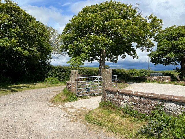
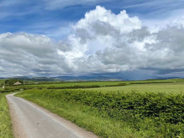
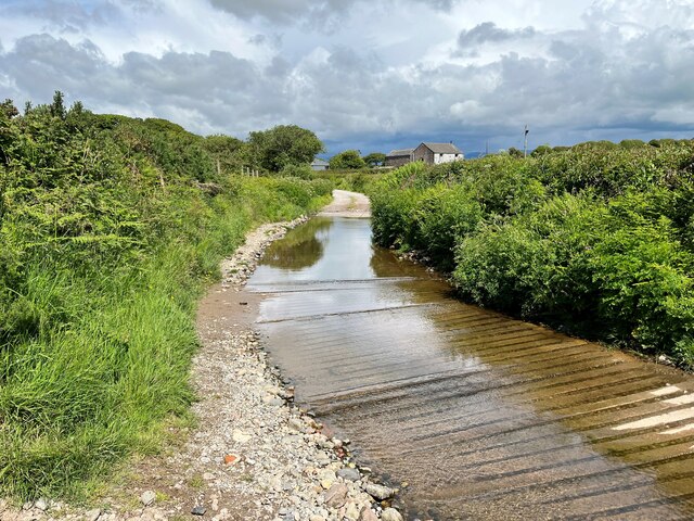
Brownbank Moss is a woodland area located in Cumberland, a historic county in the northwest of England. This moss, or peat bog, is situated within the larger forested region of Cumberland. The moss covers an area of approximately 50 acres and is surrounded by diverse and rich wildlife.

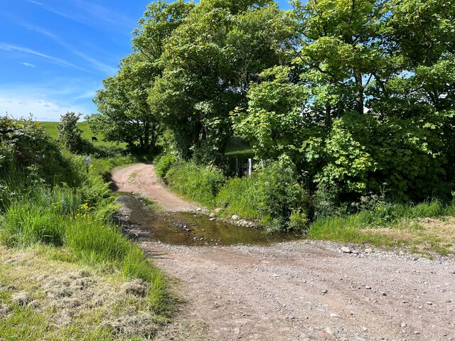
The dominant tree species found in Brownbank Moss are birch and oak, which provide a dense canopy that shades the forest floor. This creates a unique habitat for a variety of flora and fauna. The forest floor is covered with a thick layer of moss, and other plants such as ferns and heather can be found scattered throughout.

The moss is a haven for various bird species, including woodpeckers, owls, and thrushes, as well as a range of small mammals like squirrels and voles. The area is also home to several reptiles, such as adders and grass snakes, which thrive in the damp and sheltered conditions.

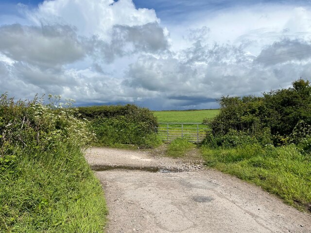
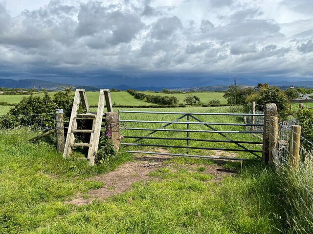
Brownbank Moss is a popular destination for nature enthusiasts and hikers due to its tranquil atmosphere and scenic beauty. Visitors can explore the moss through a network of well-maintained walking trails, allowing them to immerse themselves in the natural surroundings. The moss also has a small visitor center, providing information about the local ecology and the importance of conservation efforts.

Overall, Brownbank Moss is a vibrant woodland area within the larger Cumberland forest, offering a diverse range of plant and animal life and providing a peaceful retreat for those seeking to connect with nature.

If you have any feedback on the listing, please let us know in the comments section below.

Brownbank Moss Images

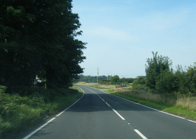
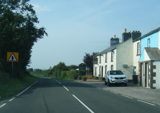
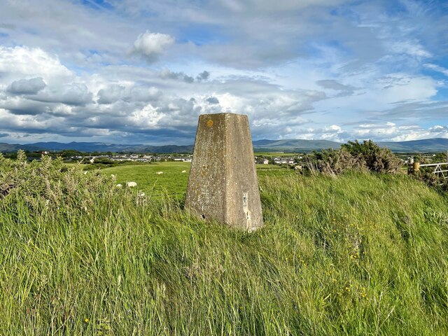
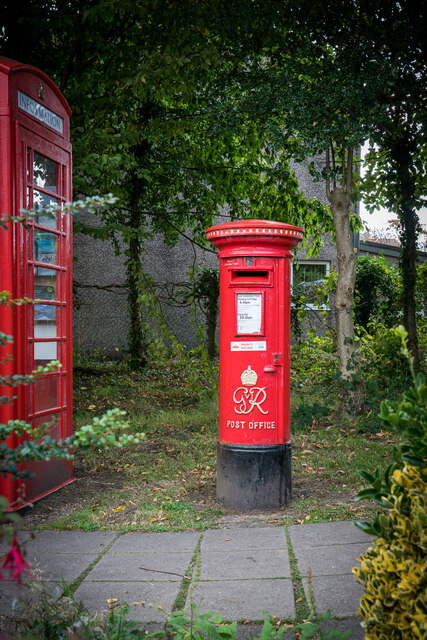
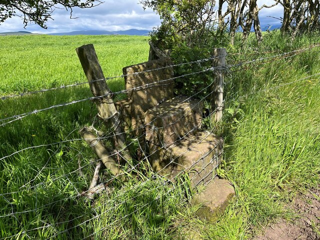
Images are sourced within 2km of 54.408167/-3.4610881 or Grid Reference NY0502. Thanks to Geograph Open Source API. All images are credited.

A595 near Bridge Petton
A595 nears The Red Admiral Hotel
Triangulation Pillar, Seascale The Ordnance Survey triangulation pillar adjacent to Seascale Golf Course was constructed in 1949. The flush bracket benchmark number S5760 on the west face of the pillar marks a height of 41.3431m above sea level (Ordnance Datum Newlyn) last verified in 1965 (photograph <a href="https://www.geograph.org.uk/photo/7219327">NY0301 : Flush Bracket Benchmark, Seascale</a>).
Triangulation Pillar, Seascale
The Ordnance Survey triangulation pillar adjacent to Seascale Golf Course was constructed in 1949. The flush bracket benchmark number S5760 on the west face of the pillar marks a height of 41.3431m above sea level (Ordnance Datum Newlyn) last verified in 1965 (photograph NY0301 : Flush Bracket Benchmark, Seascale).
Flush Bracket Benchmark, Seascale Detail of the flush bracket benchmark on the Ordnance Survey triangulation pillar at Seascale (photograph <a href="https://www.geograph.org.uk/photo/7219324">NY0301 : Triangulation Pillar, Seascale</a>). The flush bracket, benchmark number S5760, is on the west face of the pillar and marks a height of 41.3431m above sea level (Ordnance Datum Newlyn), last verified in 1965.
Flush Bracket Benchmark, Seascale
Detail of the flush bracket benchmark on the Ordnance Survey triangulation pillar at Seascale (photograph NY0301 : Triangulation Pillar, Seascale). The flush bracket, benchmark number S5760, is on the west face of the pillar and marks a height of 41.3431m above sea level (Ordnance Datum Newlyn), last verified in 1965.
George VI Post Box (1936-1952), Gosforth
Lion And The Lamb Pub With Queen Elizabeth Painting, Gosforth Brand New Wall Art After The Death of Queen Elizabeth, taken the day before the funeral. Not Sure when it was done but did not spot it the day before when passing.
Lion And The Lamb Pub With Queen Elizabeth Painting, Gosforth
Brand New Wall Art After The Death of Queen Elizabeth, taken the day before the funeral. Not Sure when it was done but did not spot it the day before when passing.
Postlethwaite Garage, Seascale
The B5344 in Seascale
Muddy tracks near Fleming Hall farm
Gateway at Panope The gateway to the house at Panope. The track leading past the gateway is a public bridleway to Hallsenna.
There is an inverted Ordnance Survey cut benchmark on the right hand gatepost (detail photograph <a href="https://www.geograph.org.uk/photo/7376084">NY0501 : Benchmark, Panope</a>).
Gateway at Panope
The gateway to the house at Panope. The track leading past the gateway is a public bridleway to Hallsenna. There is an inverted Ordnance Survey cut benchmark on the right hand gatepost (detail photograph NY0501 : Benchmark, Panope).
Benchmark, Panope Detail of the inverted Ordnance Survey cut benchmark on a gatepost at Panope (location photograph <a href="https://www.geograph.org.uk/photo/7376070">NY0501 : Gateway at Panope</a>).  The benchmark is possibly that indicated on the 1898 revision of the Ordnance Survey map as marking a height of 69.8 feet above mean sea level (Ordnance Datum Newlyn).
Benchmark, Panope
Detail of the inverted Ordnance Survey cut benchmark on a gatepost at Panope (location photograph NY0501 : Gateway at Panope). The benchmark is possibly that indicated on the 1898 revision of the Ordnance Survey map as marking a height of 69.8 feet above mean sea level (Ordnance Datum Newlyn).
Panope Ford The ford on Whitriggs Beck at Panope.  The track is the public bridleway from Panope to Cross Lanes at Seascale, joined almost in the ford (through the gate on the right) by a bridleway from Silver How and Blea Wath.
The beck follows the track for a few metres before leaving it to the left under a small footbridge hidden by vegetation in front of the sign.  The sign reads ‘NO SATNAV ROUTE FOR HGVS’ although the location is far from a metalled road.
Panope Ford
The ford on Whitriggs Beck at Panope. The track is the public bridleway from Panope to Cross Lanes at Seascale, joined almost in the ford (through the gate on the right) by a bridleway from Silver How and Blea Wath. The beck follows the track for a few metres before leaving it to the left under a small footbridge hidden by vegetation in front of the sign. The sign reads ‘NO SATNAV ROUTE FOR HGVS’ although the location is far from a metalled road.
Minor road near Stony How This minor road leads from the B5344 between Drigg and Seascale to Panope, Broom and Hallsenna.
There is heavy rain over the Lake District fells around Wasdale.
Minor road near Stony How
This minor road leads from the B5344 between Drigg and Seascale to Panope, Broom and Hallsenna. There is heavy rain over the Lake District fells around Wasdale.
Ford near Stony How In spite of rain clouds in the background, dry weather has reduced this small ford near Stony How to no more than a trickle.
The metalled public highway from the B5344 ends at the ford, continuing only as an unsurfaced access track and public bridleway to Panope and Hallsenna.
Ford near Stony How
In spite of rain clouds in the background, dry weather has reduced this small ford near Stony How to no more than a trickle. The metalled public highway from the B5344 ends at the ford, continuing only as an unsurfaced access track and public bridleway to Panope and Hallsenna.
Burnt Moor Ford This long paved ford at Burnt Moor is unusual insofar as Whitriggs Beck does not cross the track but merely flows along it for 25m (30yds), joining and leaving it again on the northwest side.
The track is a public bridleway from near Stony How to Panope.
Burnt Moor Ford
This long paved ford at Burnt Moor is unusual insofar as Whitriggs Beck does not cross the track but merely flows along it for 25m (30yds), joining and leaving it again on the northwest side. The track is a public bridleway from near Stony How to Panope.
Stile and Gate near Crossleys The stile is provided for a public footpath leading to the public bridleway at Crossleys, just visible in the right background.
There is a storm over the Lake District fells.
Stile and Gate near Crossleys
The stile is provided for a public footpath leading to the public bridleway at Crossleys, just visible in the right background. There is a storm over the Lake District fells.
Blocked Stile Near The Warren, this stile on the public footpath from Crossleys to Moss Side and Tarn How has been illegally blocked by fencing and barbed wire.
Blocked Stile
Near The Warren, this stile on the public footpath from Crossleys to Moss Side and Tarn How has been illegally blocked by fencing and barbed wire.
Track beside Seascale Golf Course The track runs along the edge of Seascale Golf Course from the village to How Farm and it is a public footpath.
The southernmost of the Lake District fells are in the background with the rounded bulk of Black Combe prominent.
Track beside Seascale Golf Course
The track runs along the edge of Seascale Golf Course from the village to How Farm and it is a public footpath. The southernmost of the Lake District fells are in the background with the rounded bulk of Black Combe prominent.
Show me another place!

Brownbank Moss is located at Grid Ref: NY0502 (Lat: 54.408167, Lng: -3.4610881)

Administrative County: Cumbria

District: Copeland

Police Authority: Cumbria

What 3 Words

///ratio.safari.puzzles. Near Seascale, Cumbria

Related Wikis

Grey Croft stone circle

Grey Croft stone circle is a restored stone circle near Seascale in Cumbria, England (grid reference NY03340238). It is situated near the site of the former...

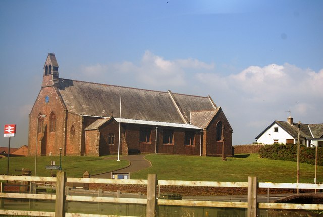
St Cuthbert, Seascale

St Cuthbert's is in Seascale, Cumbria, England. It is an active Anglican parish church in the deanery of Calder, and the diocese of Carlisle. Its benefice...

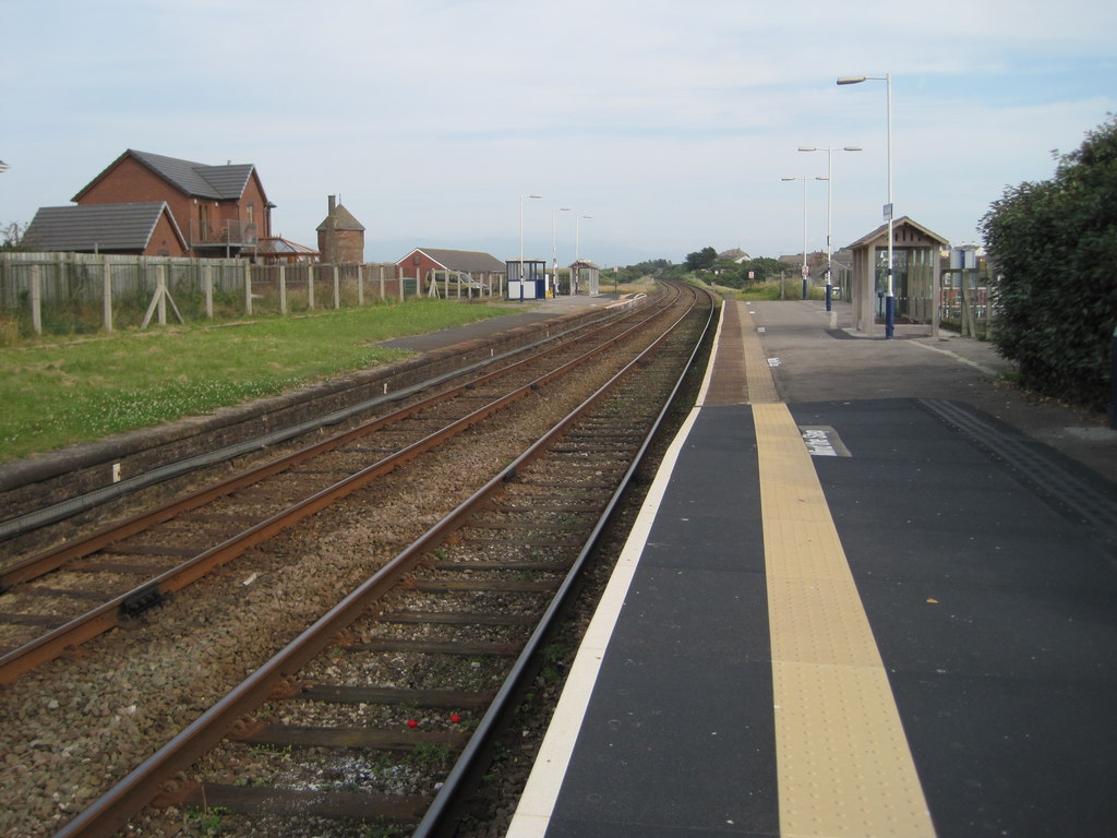
Seascale railway station

Seascale is a railway station on the Cumbrian Coast Line, which runs between Carlisle and Barrow-in-Furness. The station, situated 33+1⁄4 miles (54 km...

Seascale

Seascale is a village and civil parish on the Irish Sea coast of Cumbria, England, historically within Cumberland. The parish had a population of 1,747...

Nearby Amenities

Located within 500m of 54.408167,-3.4610881
Power: tower
Lat/Long: 54.4090887/-3.4630394
Power: tower
Lat/Long: 54.4065362/-3.4604306
Power: pole
Lat/Long: 54.4073791/-3.4572698
Power: pole
Lat/Long: 54.4079813/-3.4546592
Power: pole
Lat/Long: 54.4076841/-3.4559474
Power: pole
Lat/Long: 54.4086667/-3.4571517
Power: pole
Lat/Long: 54.4094086/-3.45759
Power: pole
Lat/Long: 54.4070685/-3.4586761
Power: pole
Lat/Long: 54.4067558/-3.4600386
Power: pole
Lat/Long: 54.4065916/-3.4615649
Power: pole
Lat/Long: 54.406463/-3.462935
Power: pole
Lat/Long: 54.4063388/-3.4642269
Power: pole
Lat/Long: 54.4062134/-3.4655132
Power: pole
Lat/Long: 54.4060515/-3.4670929
Power: pole
Lat/Long: 54.4061181/-3.4679199
The data included in this document is from www.openstreetmap.org. The data is made available under ODbL.

Have you been to Brownbank Moss?

Leave your review of Brownbank Moss below (or comments, questions and feedback).