Eskett Wood
Wood, Forest in Cumberland Copeland
England
Eskett Wood

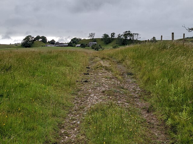
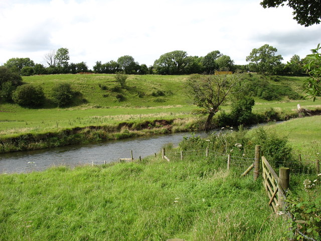
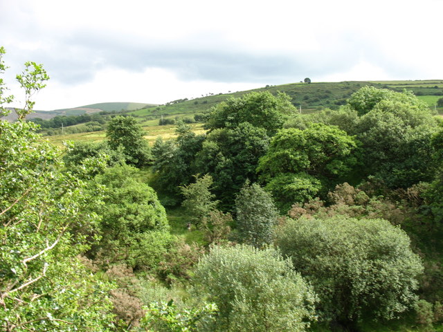
Eskett Wood is a charming and picturesque woodland located in the county of Cumberland, England. It covers an area of approximately 40 hectares and is renowned for its natural beauty and diverse ecosystem. The wood is situated just east of the village of Eskett, nestled within the stunning Lake District National Park.
The woodland is predominantly composed of native broadleaf trees, including oak, ash, birch, and rowan. These majestic trees create a dense canopy that provides shelter for a variety of wildlife species. Visitors to Eskett Wood can expect to encounter a wide range of birdlife, such as woodpeckers, robins, and nuthatches, as well as mammals like red squirrels, badgers, and deer.
The wood features a network of well-maintained footpaths, allowing visitors to explore its tranquil surroundings and enjoy the beauty of nature. The paths meander through the woodland, passing by bubbling streams, vibrant wildflowers, and ancient stone walls, adding to the area's charm.
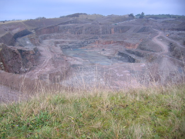
Eskett Wood is also known for its historical significance, with remnants of old mining activities visible in certain areas. These remnants serve as a reminder of the region's industrial past and add an interesting dimension to the woodland's character.
Whether it's a leisurely stroll, birdwatching, or simply immersing oneself in the serenity of nature, Eskett Wood offers a delightful escape from the hustle and bustle of everyday life. Its stunning scenery, rich biodiversity, and peaceful ambiance make it a popular destination for nature lovers and outdoor enthusiasts alike.
If you have any feedback on the listing, please let us know in the comments section below.
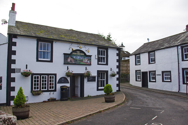
Eskett Wood Images
Images are sourced within 2km of 54.530691/-3.4654772 or Grid Reference NY0516. Thanks to Geograph Open Source API. All images are credited.


Eskett Wood is located at Grid Ref: NY0516 (Lat: 54.530691, Lng: -3.4654772)
Administrative County: Cumbria
District: Copeland
Police Authority: Cumbria
What 3 Words
///pegs.testing.mint. Near Frizington, Cumbria
Nearby Locations
Related Wikis

Eskett railway station
Eskett railway station was short-lived as a passenger station. it was built by the Whitehaven, Cleator and Egremont Railway to serve the hamlet of Eskett...
Eskett
Eskett is a hamlet in Cumbria, England. Geologically it is known for its limestone formation. == References == == External links == Cumbria County History...
Yeathouse railway station
Yeathouse railway station was a later addition to the Whitehaven, Cleator and Egremont Railway. It served the communities of Yeathouse and Eskett, near...
Ennerdale Bridge
Ennerdale Bridge is a hamlet in the county of Cumbria, England. It is in the civil parish of Ennerdale and Kinniside. It had a total population taken at...
Winder railway station
Winder railway station was built by the Whitehaven, Cleator and Egremont Railway. It served the village of Winder, Frizington, Cumbria, England. ��2�...
Frizington railway station
Frizington railway station was built by the Whitehaven, Cleator and Egremont Railway. It served the industrial Parkside area of Frizington, Cumbria, England...
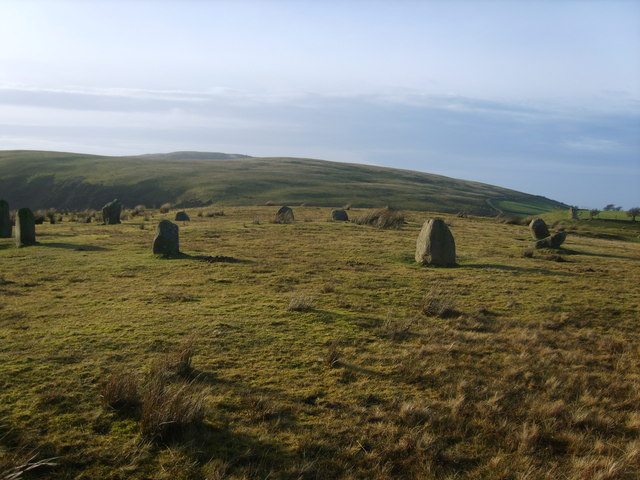
Kinniside Stone Circle
Kinniside Stone Circle (or Blakeley Raise Stone Circle) is a reconstructed stone circle in the civil parish of Ennerdale and Kinniside in Cumbria, England...

St Paul, Frizington
St Paul's is in Frizington, Cumbria, England. It is an active Anglican parish church in the deanery of Calder, and the diocese of Carlisle. Its benefice...
Nearby Amenities
Located within 500m of 54.530691,-3.4654772Have you been to Eskett Wood?
Leave your review of Eskett Wood below (or comments, questions and feedback).