Newton Wood

Wood, Forest in Cumberland Copeland

England

Newton Wood

A595 near High House Farm
A595 near High House Farm Credit: Colin Pyle

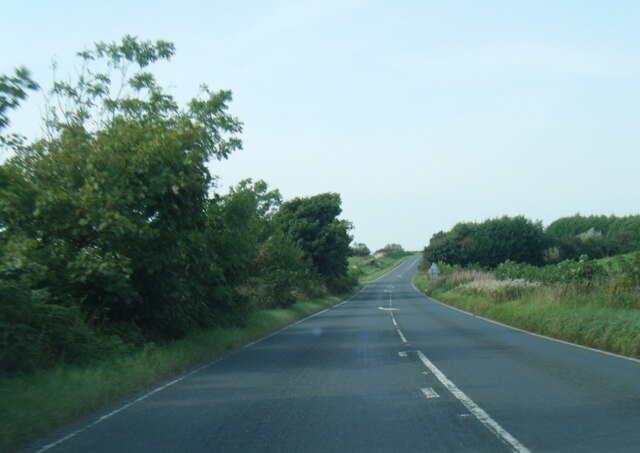
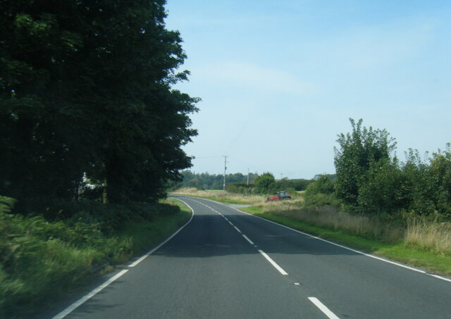
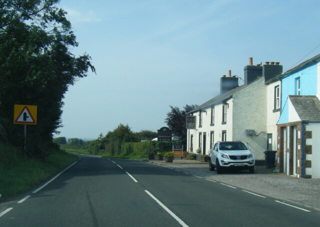
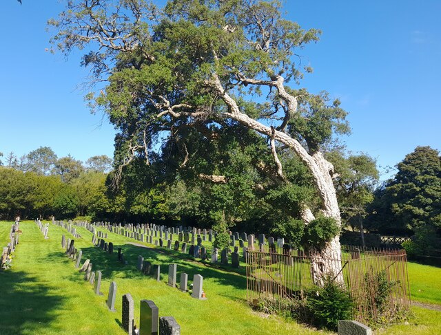
Newton Wood is a picturesque forest located in the historic county of Cumberland, England. Spanning over an area of approximately 500 acres, it is widely regarded as one of the most enchanting woodlands in the region. The forest is situated near the village of Newton, nestled amidst the scenic beauty of the Lake District National Park.

The woodland is characterized by its dense, mature trees, predominantly consisting of oak, birch, and beech. These majestic trees create a vibrant canopy, providing shelter to a wide variety of wildlife. The forest floor is adorned with a rich carpet of ferns, wildflowers, and mosses, creating a diverse ecosystem.

Newton Wood boasts an extensive network of trails and paths, making it a popular destination for hikers, nature enthusiasts, and photographers. These well-maintained routes offer breathtaking views of the surrounding countryside and allow visitors to explore the forest at their own pace. The tranquil ambiance and soothing sounds of nature make it an ideal spot for those seeking solace and relaxation.

The forest is also home to an array of wildlife, including deer, foxes, badgers, and numerous species of birds. Birdwatchers can spot a variety of avian species such as woodpeckers, owls, and thrushes, making it a paradise for bird lovers.

Newton Wood is a true haven for nature lovers, offering a serene and captivating environment that showcases the beauty of the English countryside. Whether it is a leisurely stroll, a wildlife encounter, or simply enjoying the tranquility, this enchanting woodland has something to offer for everyone.

If you have any feedback on the listing, please let us know in the comments section below.
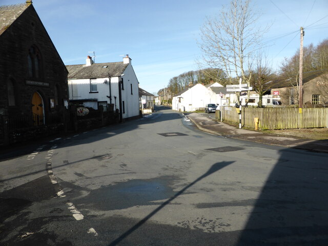
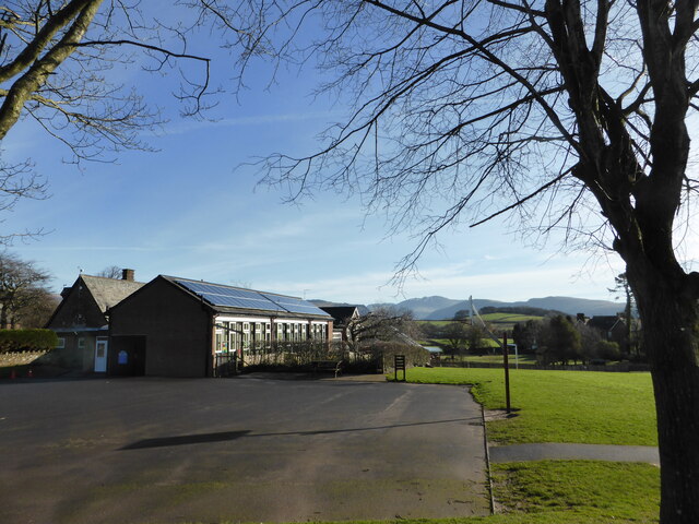
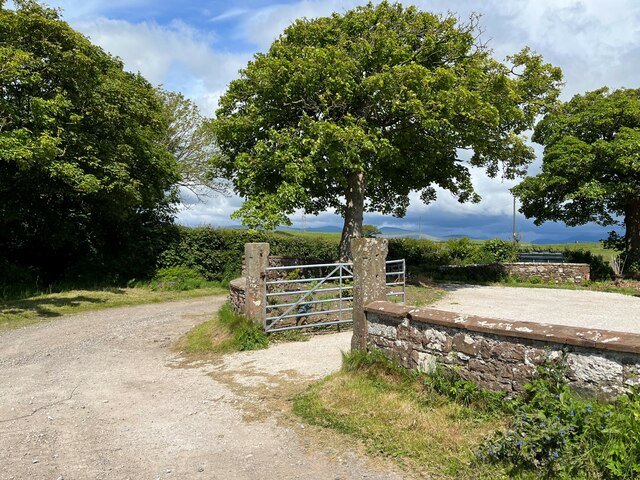
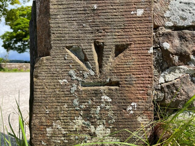
Newton Wood Images

Images are sourced within 2km of 54.410385/-3.4568063 or Grid Reference NY0502. Thanks to Geograph Open Source API. All images are credited.

A595 near High House Farm
A595 near Bridge Petton
A595 nears The Red Admiral Hotel
High Cross, St Mary's Graveyard
Cork Tree in St Mary's Churchyard Gosforth The beautiful cork tree, growing in St Mary's Churchyard Gosforth since 1833.
Cork Tree in St Mary's Churchyard Gosforth
The beautiful cork tree, growing in St Mary's Churchyard Gosforth since 1833.
St. Mary's Church, Gosforth This has been a Christian site since the 8th century. The oldest fabric in the present church dates from the 12th century. The church was reconstructed in 1789 and again in 1899.

<span class="nowrap"><a title="https://en.wikipedia.org/wiki/St_Mary%27s_Church,_Gosforth" rel="nofollow ugc noopener" href="https://en.wikipedia.org/wiki/St_Mary%27s_Church,_Gosforth">Link</a><img style="margin-left:2px;" alt="External link" title="External link - shift click to open in new window" src="https://s1.geograph.org.uk/img/external.png" width="10" height="10"/></span>
St. Mary's Church, Gosforth
This has been a Christian site since the 8th century. The oldest fabric in the present church dates from the 12th century. The church was reconstructed in 1789 and again in 1899. LinkExternal link
Viking Tomb Stones, Gosforth Hogbacks The back one is known as the "Saints Tomb" and the front one is "Warriors Tomb"

These are very rare pre-Norman tomb markers that were found under the foundations of a 12th-century wall of the church during restoration in 1896–97. The early 11th century is the latest possible date.
Viking Tomb Stones, Gosforth Hogbacks
The back one is known as the "Saints Tomb" and the front one is "Warriors Tomb" These are very rare pre-Norman tomb markers that were found under the foundations of a 12th-century wall of the church during restoration in 1896–97. The early 11th century is the latest possible date.
The Gosforth Thor Fishing Slab The stone slab depicting Thor fishing is set in the wall of the Church of St Mary at Gosforth.


<span class="nowrap"><a title="http://viking.archeurope.info/index.php?page=gosforth-thor-fishing" rel="nofollow ugc noopener" href="http://viking.archeurope.info/index.php?page=gosforth-thor-fishing">Link</a><img style="margin-left:2px;" alt="External link" title="External link - shift click to open in new window" src="https://s1.geograph.org.uk/img/external.png" width="10" height="10"/></span>
The Gosforth Thor Fishing Slab
The stone slab depicting Thor fishing is set in the wall of the Church of St Mary at Gosforth. LinkExternal link
Gosforth Cross The Gosforth Cross is the tallest Viking cross in the country (15ft Tall) and is located in St Mary's churchyard at Gosforth Cumbria. Dating to the first half of the 10th century AD and is a designated as a scheduled monument.

<span class="nowrap"><a title="https://en.wikipedia.org/wiki/Gosforth_Cross" rel="nofollow ugc noopener" href="https://en.wikipedia.org/wiki/Gosforth_Cross">Link</a><img style="margin-left:2px;" alt="External link" title="External link - shift click to open in new window" src="https://s1.geograph.org.uk/img/external.png" width="10" height="10"/></span>
Gosforth Cross
The Gosforth Cross is the tallest Viking cross in the country (15ft Tall) and is located in St Mary's churchyard at Gosforth Cumbria. Dating to the first half of the 10th century AD and is a designated as a scheduled monument. LinkExternal link
Chinese Bell, Gosforth Chinese bell dating from 1839, which was captured from the Anunghoy Fort in the Battle of the Bogue (1841) on the Canton River. It was donated to St. Marys Church in 1844.
Chinese Bell, Gosforth
Chinese bell dating from 1839, which was captured from the Anunghoy Fort in the Battle of the Bogue (1841) on the Canton River. It was donated to St. Marys Church in 1844.
Cork Oak Tree, Gosforth Sign Says :- 

This Cork Oak was planted in approximately 1833 and is reputedly the most northerly growing in England
Cork Oak Tree, Gosforth
Sign Says :- This Cork Oak was planted in approximately 1833 and is reputedly the most northerly growing in England
George VI Post Box (1936-1952), Gosforth
Lion And The Lamb Pub With Queen Elizabeth Painting, Gosforth Brand New Wall Art After The Death of Queen Elizabeth, taken the day before the funeral. Not Sure when it was done but did not spot it the day before when passing.
Lion And The Lamb Pub With Queen Elizabeth Painting, Gosforth
Brand New Wall Art After The Death of Queen Elizabeth, taken the day before the funeral. Not Sure when it was done but did not spot it the day before when passing.
Muddy tracks near Fleming Hall farm
The road into Gosforth
Lots of solar panels On the school at Gosforth
Lots of solar panels
On the school at Gosforth
Gateway at Panope The gateway to the house at Panope. The track leading past the gateway is a public bridleway to Hallsenna.
There is an inverted Ordnance Survey cut benchmark on the right hand gatepost (detail photograph <a href="https://www.geograph.org.uk/photo/7376084">NY0501 : Benchmark, Panope</a>).
Gateway at Panope
The gateway to the house at Panope. The track leading past the gateway is a public bridleway to Hallsenna. There is an inverted Ordnance Survey cut benchmark on the right hand gatepost (detail photograph NY0501 : Benchmark, Panope).
Benchmark, Panope Detail of the inverted Ordnance Survey cut benchmark on a gatepost at Panope (location photograph <a href="https://www.geograph.org.uk/photo/7376070">NY0501 : Gateway at Panope</a>).  The benchmark is possibly that indicated on the 1898 revision of the Ordnance Survey map as marking a height of 69.8 feet above mean sea level (Ordnance Datum Newlyn).
Benchmark, Panope
Detail of the inverted Ordnance Survey cut benchmark on a gatepost at Panope (location photograph NY0501 : Gateway at Panope). The benchmark is possibly that indicated on the 1898 revision of the Ordnance Survey map as marking a height of 69.8 feet above mean sea level (Ordnance Datum Newlyn).
Show me another place!

Newton Wood is located at Grid Ref: NY0502 (Lat: 54.410385, Lng: -3.4568063)

Administrative County: Cumbria

District: Copeland

Police Authority: Cumbria

What 3 Words

///ends.fairy.dividers. Near Seascale, Cumbria

Related Wikis

Gosforth, Cumbria

Gosforth is a village, civil parish and electoral ward in the Lake District, in the Borough of Copeland in Cumbria, England. Historically in Cumberland...
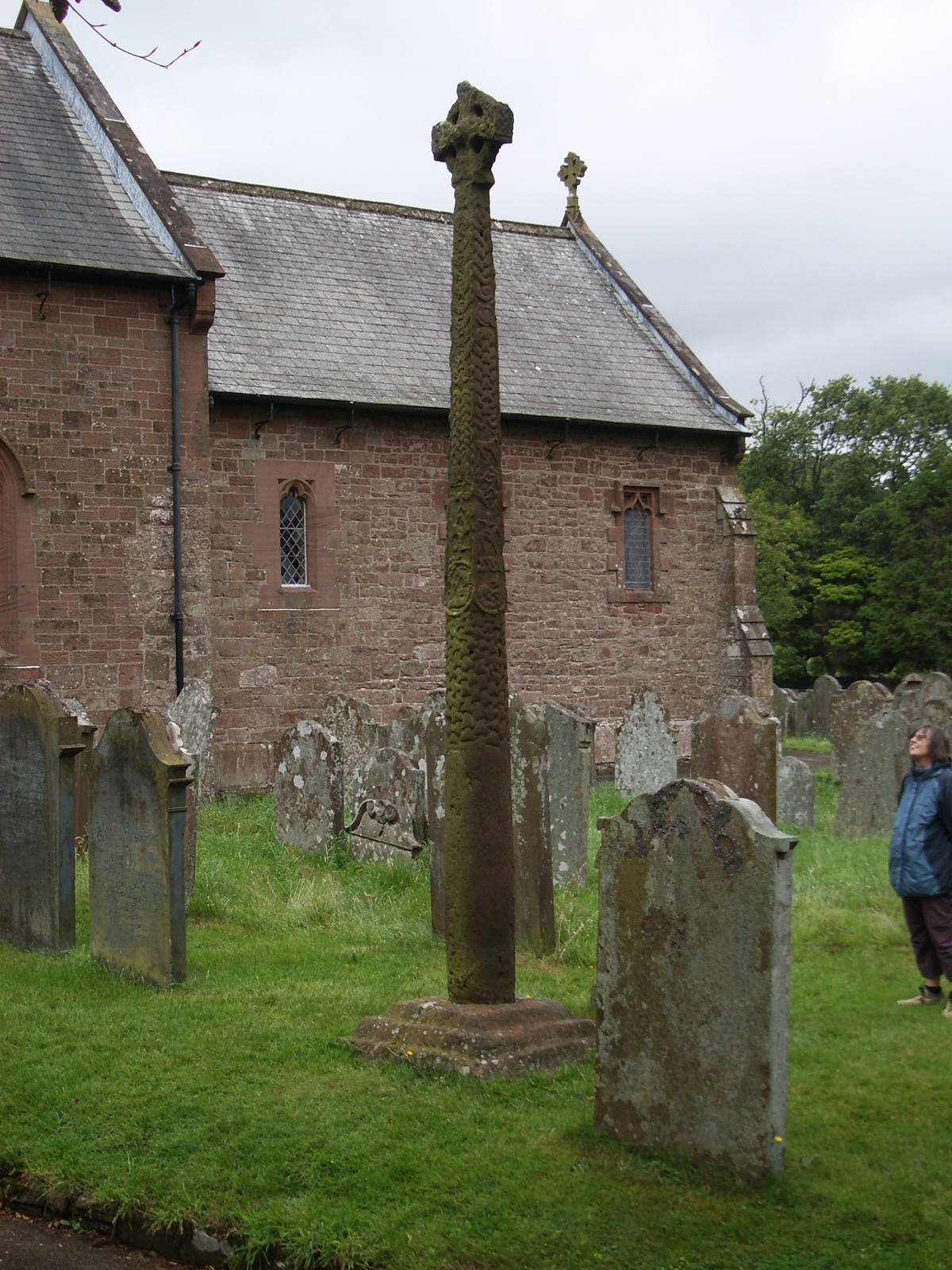
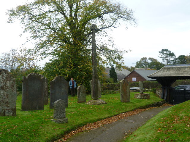
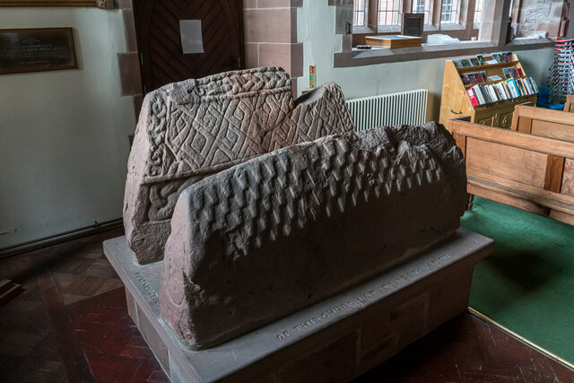
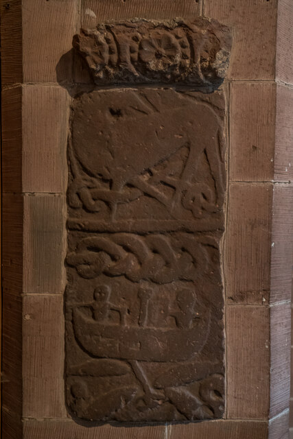
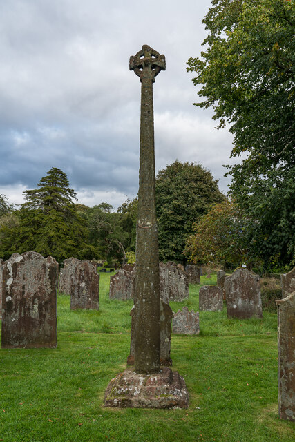
Gosforth Cross

The Gosforth Cross is a large stone monument in St Mary's churchyard at Gosforth in the English county of Cumbria, dating to the first half of the 10th...

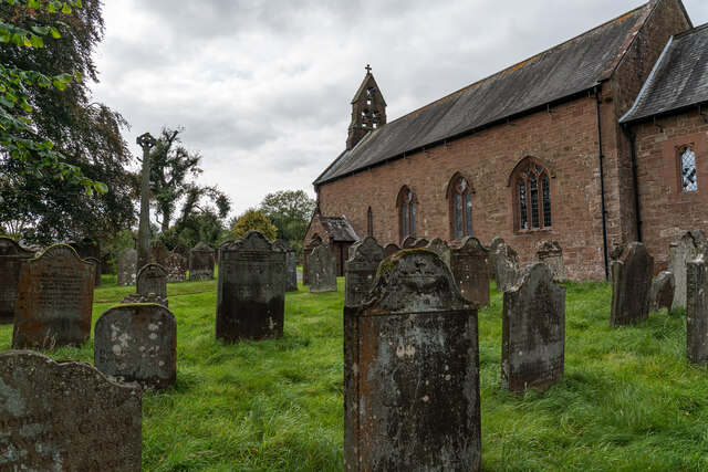
St Mary's Church, Gosforth

St Mary's Church in the village of Gosforth, Cumbria, England, is an active Anglican parish church in the deanery of Calder, the archdeaconry of West Cumberland...
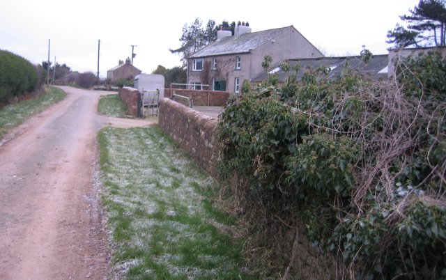
Calder, Cumbria

Calder is a small hamlet in Cumbria, England. It is overlooked by the Sellafield nuclear plant—Calder Hall Nuclear Power Station was the world's first...

Grey Croft stone circle

Grey Croft stone circle is a restored stone circle near Seascale in Cumbria, England (grid reference NY03340238). It is situated near the site of the former...

Ponsonby, Cumbria

Ponsonby is a village and civil parish in the Borough of Copeland of the county of Cumbria, England. Ponsonby has a church which was constructed in 1840...

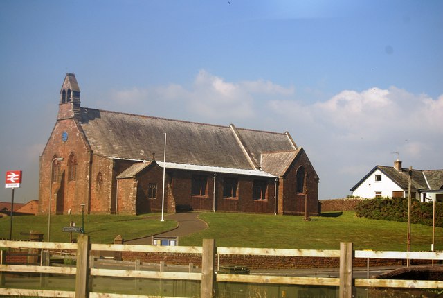
St Cuthbert, Seascale

St Cuthbert's is in Seascale, Cumbria, England. It is an active Anglican parish church in the deanery of Calder, and the diocese of Carlisle. Its benefice...

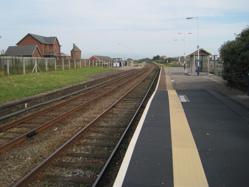
Seascale railway station

Seascale is a railway station on the Cumbrian Coast Line, which runs between Carlisle and Barrow-in-Furness. The station, situated 33+1⁄4 miles (54 km...

Nearby Amenities

Located within 500m of 54.410385,-3.4568063
Power: tower
Lat/Long: 54.4090887/-3.4630394
Power: tower
Lat/Long: 54.4065362/-3.4604306
Ford: yes
Lat/Long: 54.4122444/-3.4565418
Power: pole
Lat/Long: 54.4073791/-3.4572698
Power: pole
Lat/Long: 54.4079813/-3.4546592
Power: pole
Lat/Long: 54.4076841/-3.4559474
Power: pole
Lat/Long: 54.4086667/-3.4571517
Power: pole
Lat/Long: 54.4094086/-3.45759
Power: pole
Lat/Long: 54.4070685/-3.4586761
Power: pole
Lat/Long: 54.4067558/-3.4600386
Power: pole
Lat/Long: 54.4081898/-3.4532568
Power: pole
Lat/Long: 54.4084094/-3.4518181
Power: pole
Lat/Long: 54.4085669/-3.4508005
Power: pole
Lat/Long: 54.4096393/-3.4495162
The data included in this document is from www.openstreetmap.org. The data is made available under ODbL.

Have you been to Newton Wood?

Leave your review of Newton Wood below (or comments, questions and feedback).