Dalditch Plantation
Wood, Forest in Devon East Devon
England
Dalditch Plantation
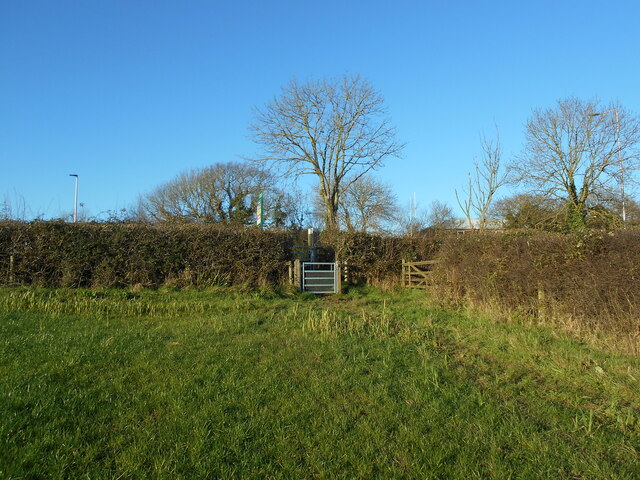
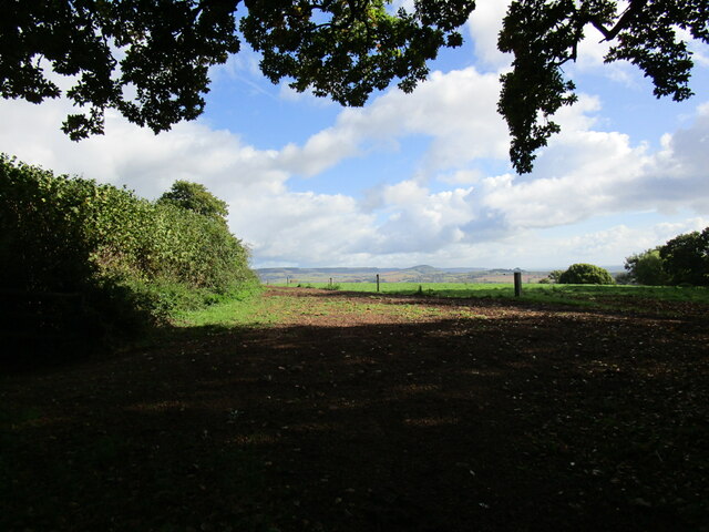
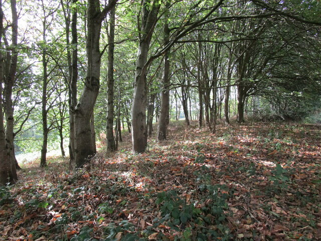
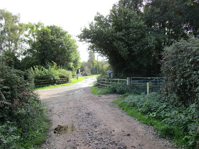
Dalditch Plantation, located in Devon, England, is a picturesque wood that spans over 100 hectares. Nestled in the rolling hills of the East Devon Area of Outstanding Natural Beauty, this forested area is a popular destination for nature lovers and outdoor enthusiasts.
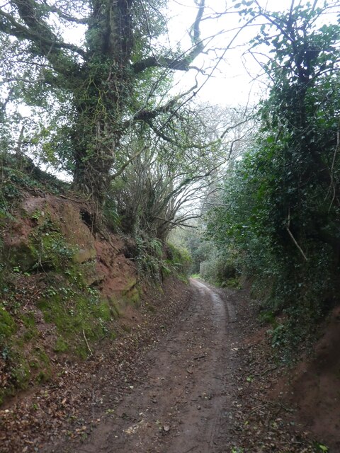
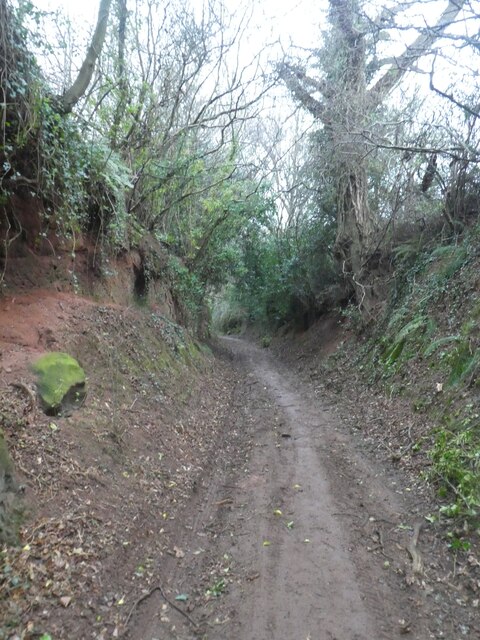
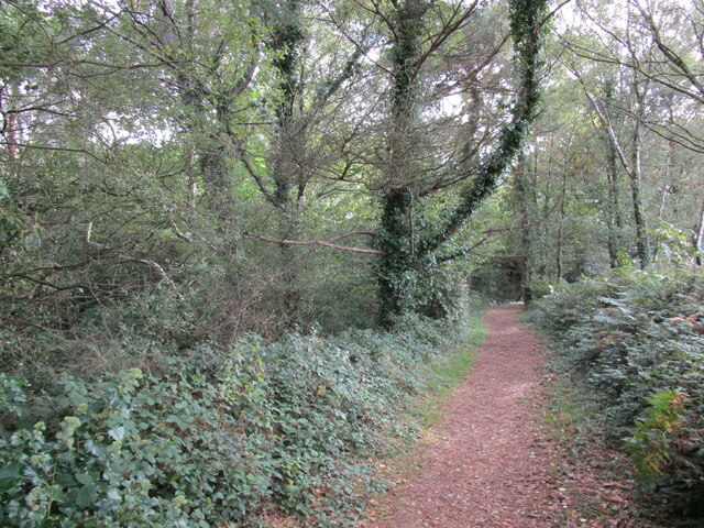
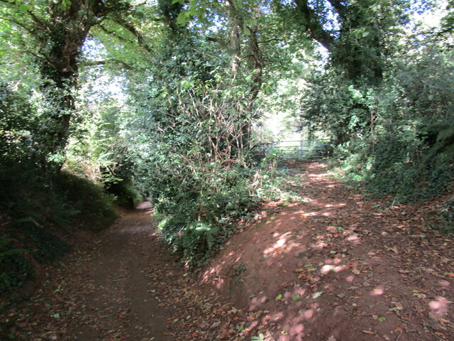
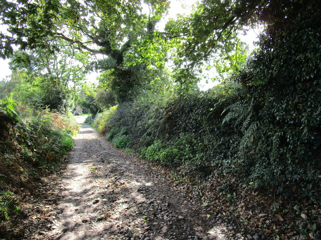
The plantation is primarily composed of native broadleaf trees, such as oak, beech, and ash, which provide a diverse and thriving ecosystem. The dense canopy of these trees creates a tranquil atmosphere and offers shade during the summer months, making it an ideal spot for leisurely walks and picnics.
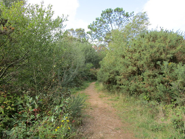
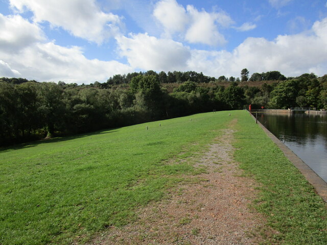
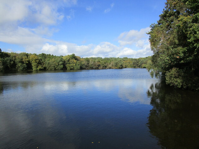
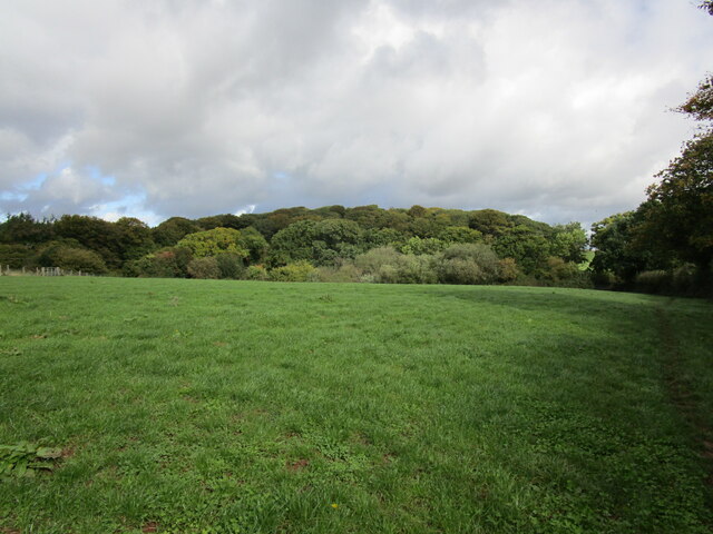
Dalditch Plantation is home to a diverse range of wildlife, including deer, foxes, badgers, and numerous bird species. The varied habitats within the woodland, including open grasslands and ponds, provide ample opportunities for wildlife spotting and birdwatching.
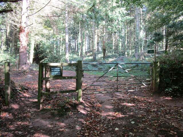
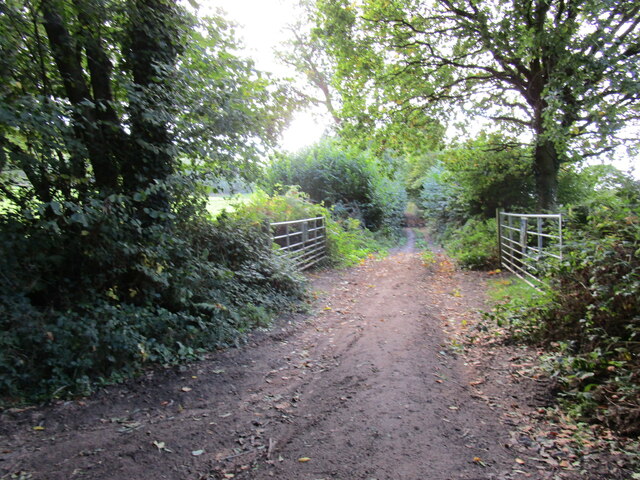
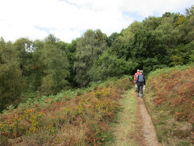
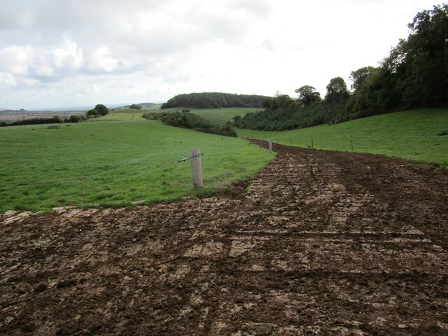
Visitors to the plantation can explore its well-maintained network of trails, which cater to both casual strollers and more adventurous hikers. These paths wind through the wood, taking visitors on a journey through ancient woodlands and offering breathtaking views of the surrounding countryside.
In addition to its natural beauty, Dalditch Plantation also holds historical significance. The wood has been traditionally managed for centuries, with evidence of ancient boundary banks and ditches dating back to the Iron Age. These historical features add an extra layer of intrigue to the woodland, making it an appealing destination for history enthusiasts.
Overall, Dalditch Plantation in Devon offers a delightful and enriching experience for visitors seeking solace in nature, as well as those interested in exploring the area's rich history.
If you have any feedback on the listing, please let us know in the comments section below.
Dalditch Plantation Images
Images are sourced within 2km of 50.64307/-3.3570196 or Grid Reference SY0483. Thanks to Geograph Open Source API. All images are credited.
Dalditch Plantation is located at Grid Ref: SY0483 (Lat: 50.64307, Lng: -3.3570196)
Administrative County: Devon
District: East Devon
Police Authority: Devon and Cornwall
What 3 Words
///waltz.firmer.playback. Near Budleigh Salterton, Devon
Nearby Locations
Related Wikis

Budleigh Salterton A.F.C.
Budleigh Salterton Association Football Club is a football club based in Budleigh Salterton, Devon, England. They are currently members of the Devon League...

Budleigh Salterton railway station
Budleigh Salterton railway station is a closed railway station that served the town of Budleigh Salterton in Devon, England. It was opened by the London...
East Devon Radio
East Devon Radio (Exmouth UK) is a community radio station, based in Exmouth, Devon, United Kingdom. The station was launched on 11 September 2006 as Bay...

St Margaret and St Andrew's Church, Littleham, Exmouth
St Margaret and St Andrew's Church, Littleham, Exmouth is a Grade II* listed parish church in the Church of England in Littleham, Exmouth. == History... ==
Littleham, Exmouth
Littleham is an area of Exmouth and former civil parish, now in the parish of Exmouth, in the East Devon district, in the county of Devon, England. It...
Bicton, Devon
Bicton is a civil parish and a former manor in the East Devon district of Devon, England, near the town of Budleigh Salterton. The parish is surrounded...

East Budleigh
East Budleigh is a small village in East Devon, England. The villages of Yettington, Colaton Raleigh, and Otterton lie to the west, north and east of...

Littleham railway station
Littleham railway station was a railway station that served Littleham, Exmouth, in Devon, England. == History == It was opened on 1 June 1903 by the London...
Related Videos

Out and about Walking in Bystock Pools in Devon
Out and about Walking in Bystock Pools. Today's walk is in the beautiful nature reserve of Bystock Pools in East Devon. Bystock ...
Exploring East Devon! Bystock Pools & Squabmoor Reservoir - Nature Diaries
Hi Conservation Crew and welcome to another episode of Nature Diaries! In this video, we explore a little of East Devon, an area ...
Nearby Amenities
Located within 500m of 50.64307,-3.3570196Have you been to Dalditch Plantation?
Leave your review of Dalditch Plantation below (or comments, questions and feedback).