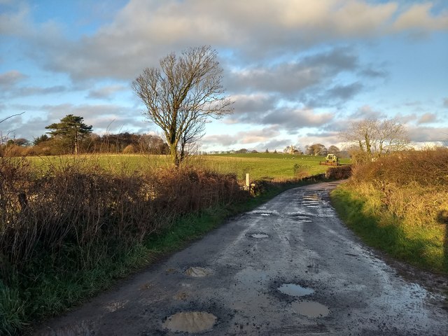
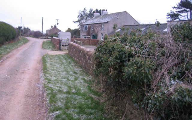
Longrigg Wood

Wood, Forest in Cumberland Copeland

England

Longrigg Wood

Looking towards Building B30 Home to one of the early plutonium-based reactors.  ""It is the most hazardous industrial building in western Europe," according to George Beveridge, Sellafield's deputy managing director - in The Guardian 2009.
Looking towards Building B30 Credit: David Medcalf

Longrigg Wood, located in Cumberland, is a magnificent forest that spans a vast area of lush greenery and natural beauty. With its rich biodiversity and tranquil atmosphere, it has become a popular destination for nature lovers and outdoor enthusiasts alike.

Covering an area of approximately 500 acres, Longrigg Wood is home to a diverse range of flora and fauna. Towering oak, beech, and birch trees dominate the landscape, providing a dense canopy that filters the sunlight and creates a cool and shaded environment below. The forest floor is carpeted with a thick layer of moss, ferns, and wildflowers, adding to the enchanting ambiance of the wood.

The wood is crisscrossed by a network of well-maintained paths and trails, allowing visitors to explore its beauty at their own pace. These paths wind through the trees, leading to hidden clearings and viewpoints that offer breathtaking vistas of the surrounding countryside. Along the way, visitors may encounter various wildlife, including squirrels, rabbits, and a wide variety of bird species.

Longrigg Wood is also home to a small pond, teeming with life. Frogs, newts, and dragonflies can be spotted here, adding to the ecological diversity of the area. The tranquil waters of the pond provide a peaceful spot for reflection and relaxation.

Overall, Longrigg Wood in Cumberland is a haven of natural beauty and serenity. Its abundant flora and fauna, picturesque trails, and captivating scenery make it a must-visit destination for anyone seeking to immerse themselves in the wonders of nature.

If you have any feedback on the listing, please let us know in the comments section below.

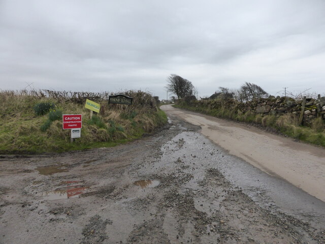
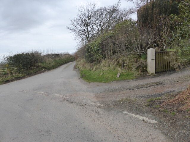
Longrigg Wood Images

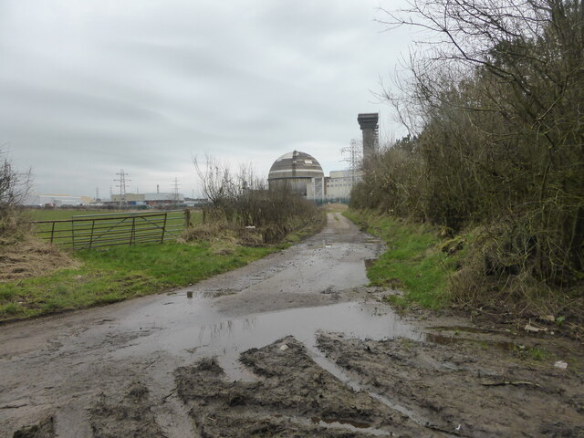
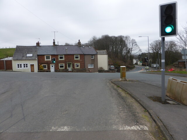
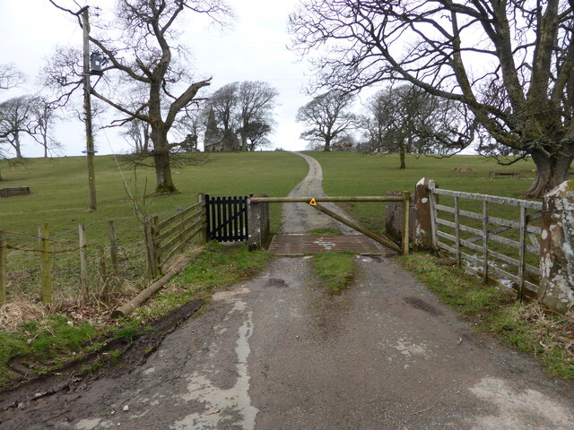
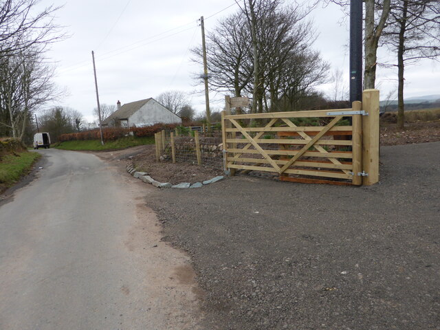
Images are sourced within 2km of 54.426643/-3.4790872 or Grid Reference NY0404. Thanks to Geograph Open Source API. All images are credited.

Looking towards Building B30 Home to one of the early plutonium-based reactors.  ""It is the most hazardous industrial building in western Europe," according to George Beveridge, Sellafield's deputy managing director - in The Guardian 2009.
Looking towards Building B30
Home to one of the early plutonium-based reactors. ""It is the most hazardous industrial building in western Europe," according to George Beveridge, Sellafield's deputy managing director - in The Guardian 2009.
Road junction at Calder Bridge This is a busy junction, serving one of the entry gates for Sellafield site.
Road junction at Calder Bridge
This is a busy junction, serving one of the entry gates for Sellafield site.
The driveway to Ponsonby Church
Muddy tracks near Fleming Hall farm
Where the bridleway to Ponsonby leaves the road
The lane to Ponsonby Old Hall
The lane to Gibb Hill Farm
Lane near Fleming Hall The lane is a public bridleway and runs from Seascale Hall to Gosforth.
Lane near Fleming Hall
The lane is a public bridleway and runs from Seascale Hall to Gosforth.
Stored construction materials Stored construction materials beside the access track to Seascale Hall Farm.
Stored construction materials
Stored construction materials beside the access track to Seascale Hall Farm.
Field gateway near Seascale Hall
Lane near Fleming Hall The lane is a public bridleway from Seascale Hall to Gosforth.
Lane near Fleming Hall
The lane is a public bridleway from Seascale Hall to Gosforth.
Field near Fleming Hall
Field near Fleming Hall Fleming Hall Farm is in the middle distance.  The Lake District fells are in the background.
Field near Fleming Hall
Fleming Hall Farm is in the middle distance. The Lake District fells are in the background.
Ordnance Survey Cut Mark This OS cut mark can be found on the NW face of St Bridget's Church. It marks a point 53.739m above mean sea level.
Ordnance Survey Cut Mark
This OS cut mark can be found on the NW face of St Bridget's Church. It marks a point 53.739m above mean sea level.
Sellafield/Windscale/Calder Hall Looking southwest from over the Lake District.
Sellafield/Windscale/Calder Hall
Looking southwest from over the Lake District.
Sellafield from above the Lake District A view looking southwest.
Sellafield from above the Lake District
A view looking southwest.
Farm lane near Ponsonby Ponsonby Church can be seen in the distance.
Farm lane near Ponsonby
Ponsonby Church can be seen in the distance.
Farm lane heading towards Calder Hall
Show me another place!

Longrigg Wood is located at Grid Ref: NY0404 (Lat: 54.426643, Lng: -3.4790872)

Administrative County: Cumbria

District: Copeland

Police Authority: Cumbria

What 3 Words

///chief.peroxide.cloak. Near Seascale, Cumbria

Related Wikis

Ponsonby, Cumbria

Ponsonby is a village and civil parish in the Borough of Copeland of the county of Cumbria, England. Ponsonby has a church which was constructed in 1840...
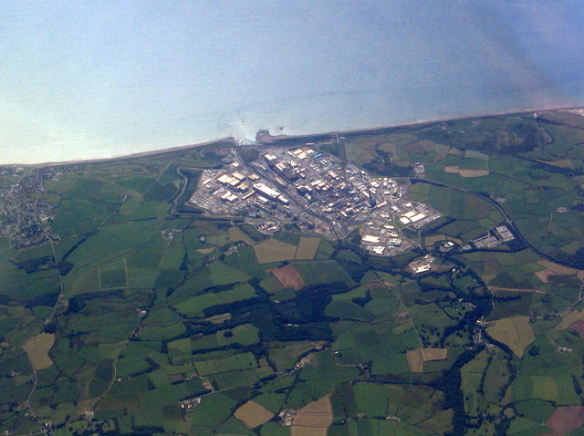
Calder, Cumbria

Calder is a small hamlet in Cumbria, England. It is overlooked by the Sellafield nuclear plant—Calder Hall Nuclear Power Station was the world's first...

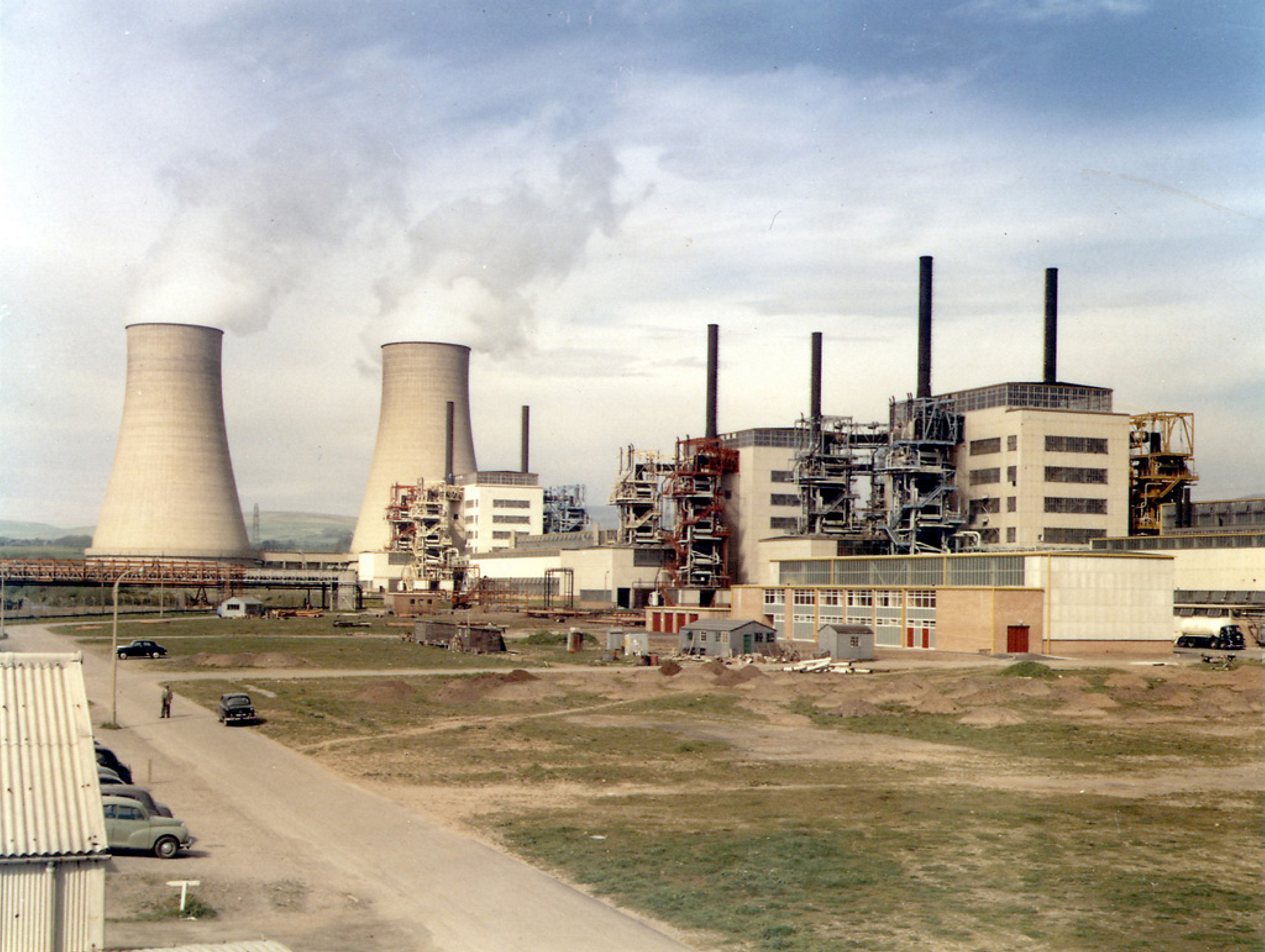
Calder Hall nuclear power station

Calder Hall Nuclear Power Station is a former Magnox nuclear power station at Sellafield in Cumbria in North West England. Calder Hall was the world's...
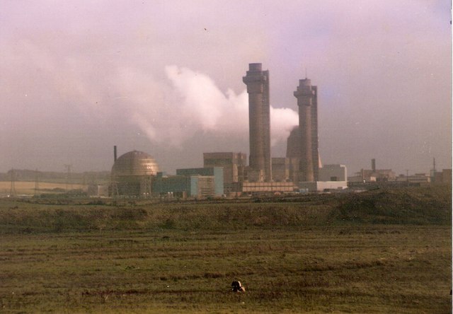
Windscale fire

The Windscale fire of 10 October 1957 was the worst nuclear accident in the United Kingdom's history, and one of the worst in the world, ranked in severity...

Have you been to Longrigg Wood?

Leave your review of Longrigg Wood below (or comments, questions and feedback).