Wheathill Plantation

Wood, Forest in Devon East Devon

England

Wheathill Plantation

The Gibraltar stone, looking North The stone is an actual piece of the Rock of  Gibraltar, donated to the Royal Marines by the people of Gibraltar in 2014. This donation marked both the 350th anniversary of the creation of the Royal Marines in 1664, and the 300th anniversary of the capture of Gibraltar by British and Dutch Marines in 1704.
The Gibraltar stone, looking North Credit: Anthony Vosper

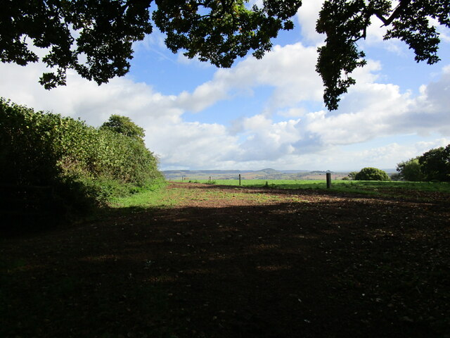
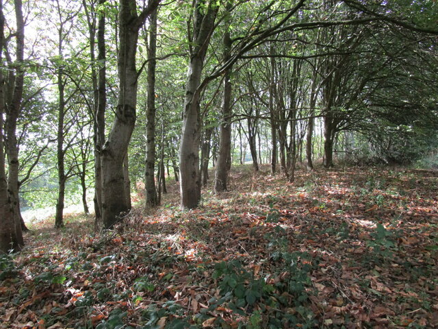
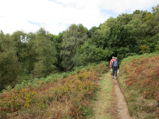
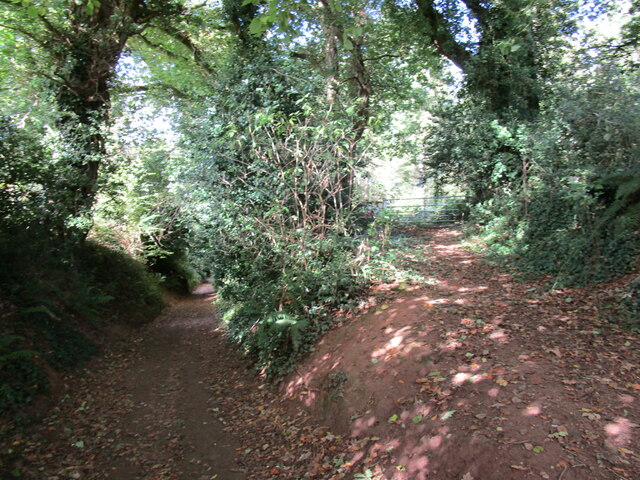
Wheathill Plantation is a picturesque woodland located in the county of Devon, England. Situated in the heart of the countryside, it covers an area of approximately 100 acres and is known for its diverse range of flora and fauna. The plantation is predominantly made up of deciduous trees, such as oak, beech, and birch, which create a dense canopy overhead.

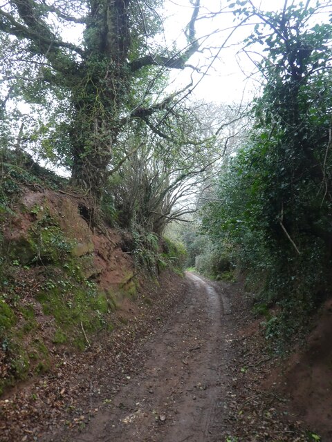
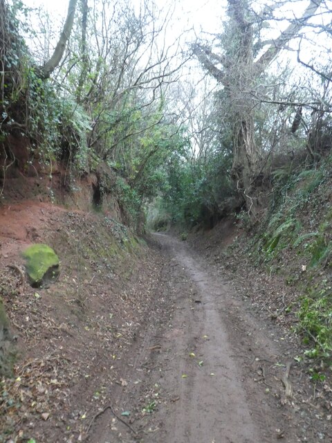
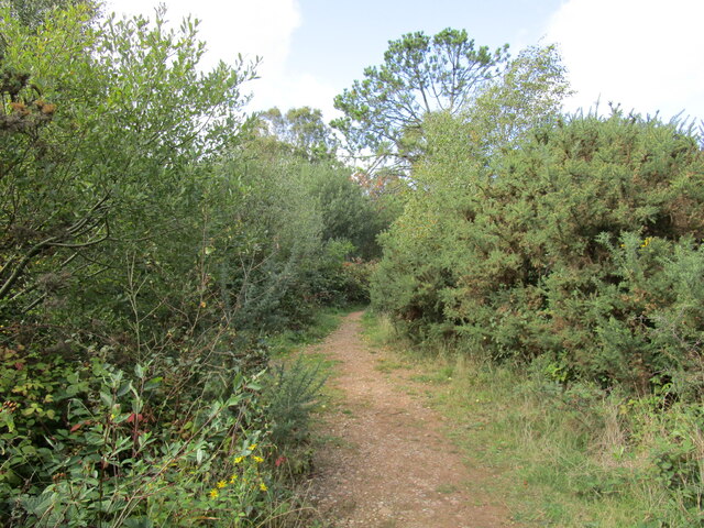
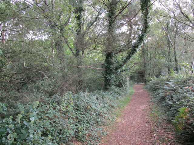
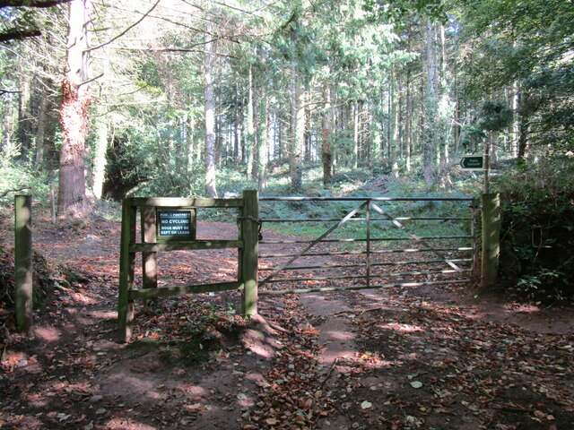
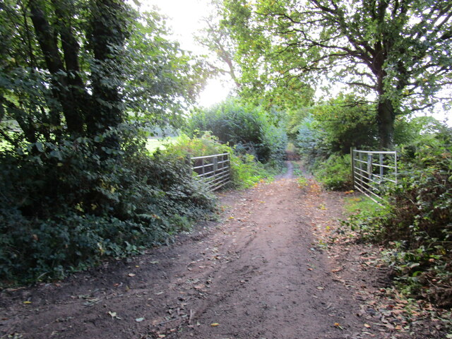
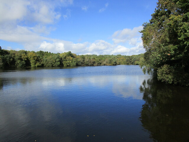
The woodland is crisscrossed by a network of well-maintained footpaths, allowing visitors to explore its natural beauty at their leisure. These paths wind their way through the plantation, leading to various points of interest, including a tranquil pond and a small stream that meanders through the trees. The area is teeming with wildlife, providing a haven for numerous species of birds, butterflies, and mammals.

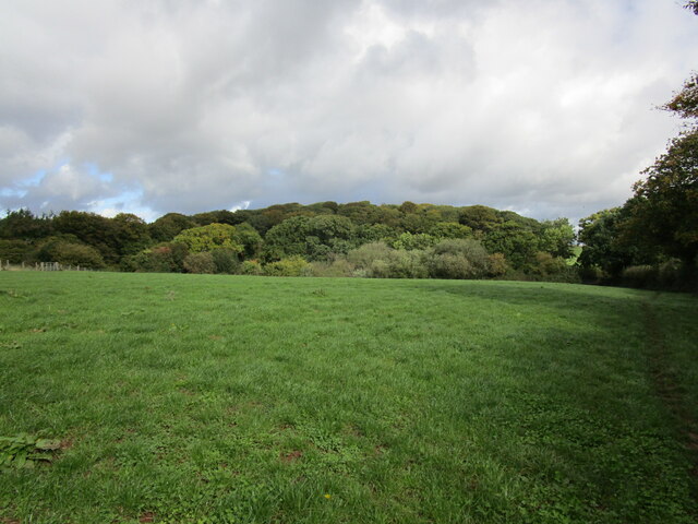
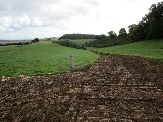
Wheathill Plantation also boasts a rich history, with evidence of human activity dating back centuries. Remnants of an old stone wall can be found within the woodland, hinting at its former use as agricultural land. The plantation has since been rewilded, allowing nature to reclaim the area and flourish.

The serene atmosphere and abundance of natural beauty make Wheathill Plantation a popular destination for nature enthusiasts, hikers, and birdwatchers. The peacefulness of the woodland, combined with its stunning scenery, provides a perfect escape from the hustle and bustle of modern life. Whether one is seeking a leisurely stroll or a quiet spot for contemplation, Wheathill Plantation offers a serene sanctuary in the heart of Devon's countryside.

If you have any feedback on the listing, please let us know in the comments section below.

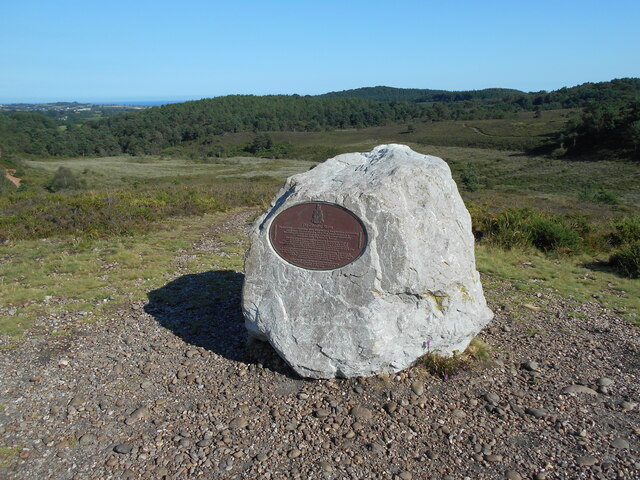
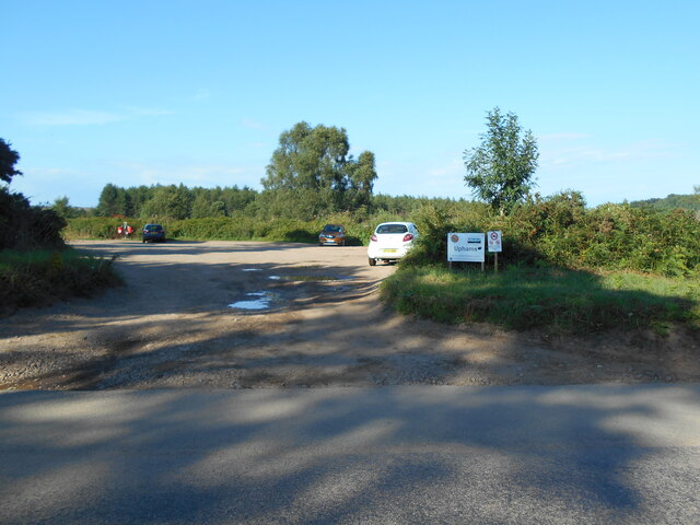
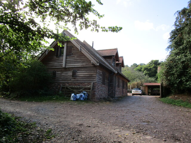
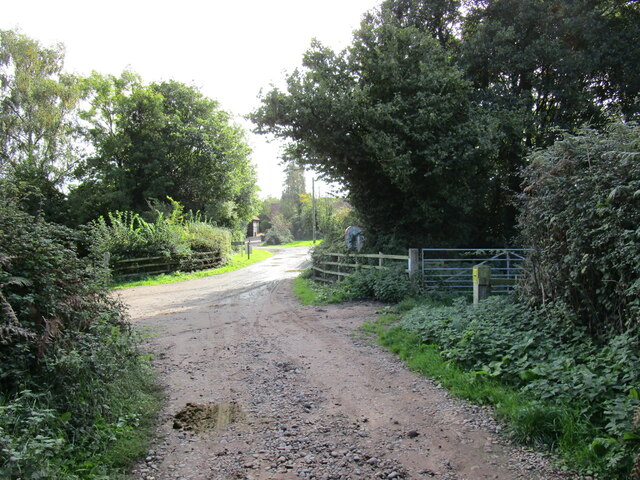
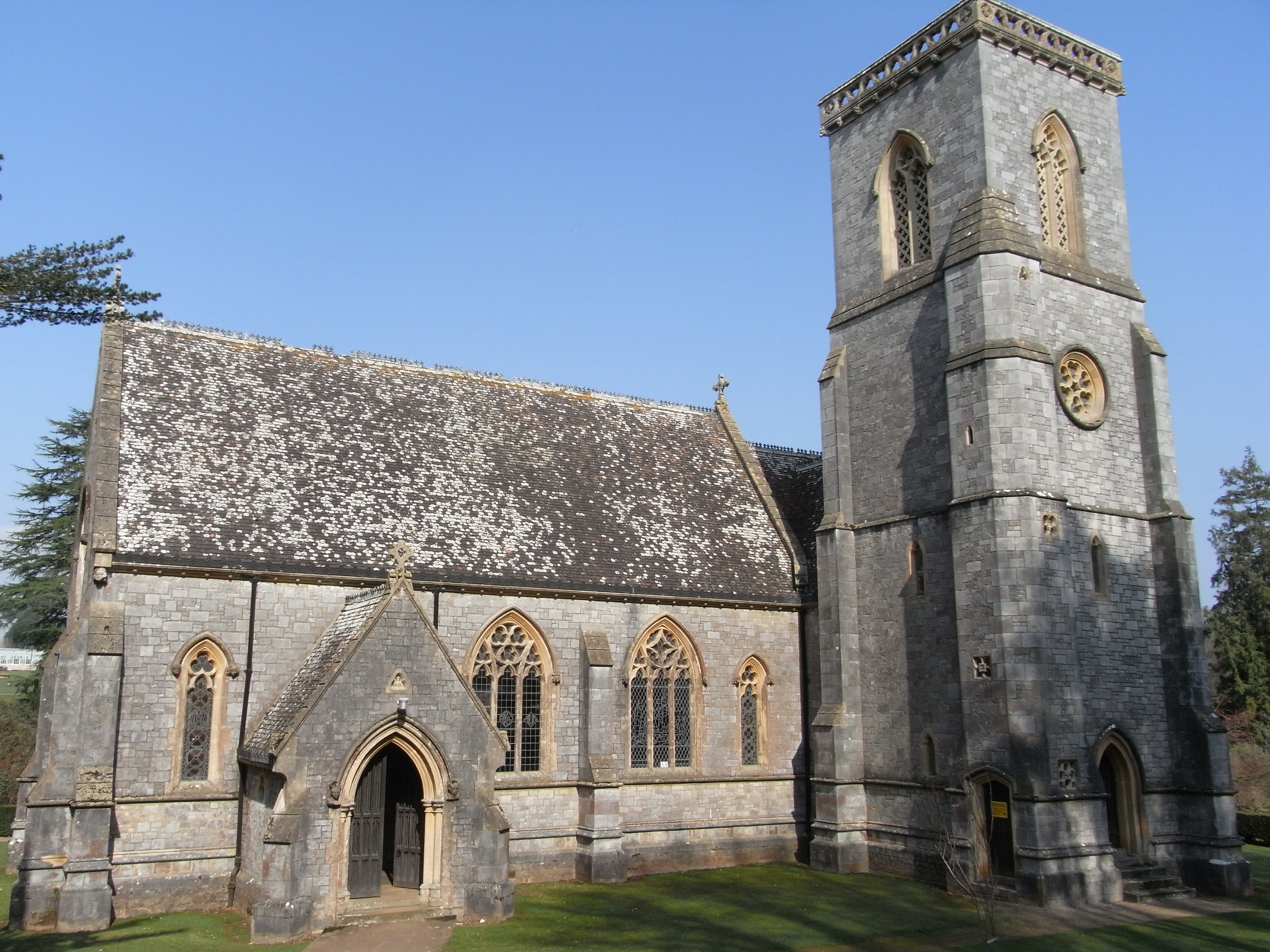
Wheathill Plantation Images

Images are sourced within 2km of 50.654867/-3.3572464 or Grid Reference SY0484. Thanks to Geograph Open Source API. All images are credited.

The Gibraltar stone, looking North The stone is an actual piece of the Rock of  Gibraltar, donated to the Royal Marines by the people of Gibraltar in 2014. This donation marked both the 350th anniversary of the creation of the Royal Marines in 1664, and the 300th anniversary of the capture of Gibraltar by British and Dutch Marines in 1704.
The Gibraltar stone, looking North
The stone is an actual piece of the Rock of Gibraltar, donated to the Royal Marines by the people of Gibraltar in 2014. This donation marked both the 350th anniversary of the creation of the Royal Marines in 1664, and the 300th anniversary of the capture of Gibraltar by British and Dutch Marines in 1704.
Uphams car park Woodbury Common One of a number of car parks across the common. For a reverse view see <a href="https://www.geograph.org.uk/photo/5164701">SY0486 : East Devon : Car Park</a>.
Uphams car park Woodbury Common
One of a number of car parks across the common. For a reverse view see SY0486 : East Devon : Car Park.
Lane and footpath in a cutting, near Dalditch
Exposed strata layers, cutting near Dalditch
The East Devon Way, East Budleigh Common
Bridleway, East Budleigh Common
Public footpath, Hayes Wood
Footpath, East Budleigh Common
View from beneath the trees Beacon Hill (near Sidbury) visible in the distance.
View from beneath the trees
Beacon Hill (near Sidbury) visible in the distance.
Beneath beech trees, Shortwood Common
Dam, Squabmoor Reservoir
Squabmoor Reservoir
Squabmoor Reservoir
Footpath, East Budleigh Common
Two tracks on the edge of Hayes Wood Only the one on the left is public right of way.
Two tracks on the edge of Hayes Wood
Only the one on the left is public right of way.
Grass field and Hayes Wood A footpath runs along the edge of the field on the right.
Grass field and Hayes Wood
A footpath runs along the edge of the field on the right.
Farm track to Tidwell Manor
Buildings at Dalditch House
Junction of tracks near Dalditch Farm
Show me another place!

Wheathill Plantation is located at Grid Ref: SY0484 (Lat: 50.654867, Lng: -3.3572464)

Administrative County: Devon

District: East Devon

Police Authority: Devon and Cornwall

What 3 Words

///tricky.pinging.tinkle. Near Budleigh Salterton, Devon

Nearby Locations

Wheathill Plantation

Related Wikis

Bicton, Devon

Bicton is a civil parish and a former manor in the East Devon district of Devon, England, near the town of Budleigh Salterton. The parish is surrounded...

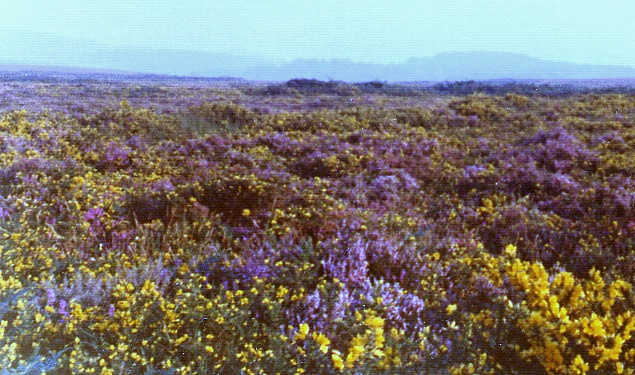
Woodbury Common, Devon

Woodbury Common in East Devon, England is an area of common land that is predominantly heathland adjacent to the village of Woodbury. It is bordered to...

Bicton Arena

Bicton Arena is a multi-discipline equestrian venue in Devon, England. It is notable for hosting the Bicton Arena International 5*, the only CCI 5* event...

Bicton Arena International 5*

The Bicton Arena International 5*, known for sponsorship reasons as the Chedington Bicton Park 5* Horse Trials was a CCI 5* eventing competition held as...

Nearby Amenities

Located within 500m of 50.654867,-3.3572464
Pebblebed Heath
Information: board
Tourism: information
Lat/Long: 50.6544562/-3.3586195
Historic: ruins
Lat/Long: 50.6559338/-3.360762
The data included in this document is from www.openstreetmap.org. The data is made available under ODbL.

Have you been to Wheathill Plantation?

Leave your review of Wheathill Plantation below (or comments, questions and feedback).