Boghill Wood
Wood, Forest in Cumberland Copeland
England
Boghill Wood

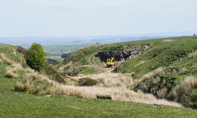
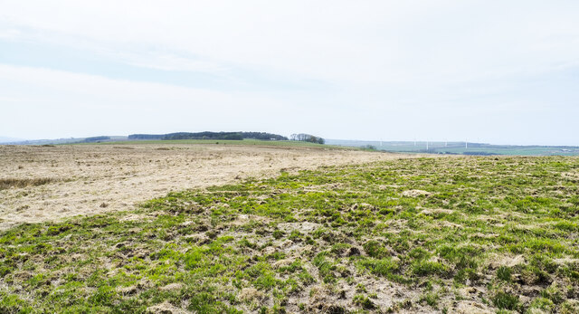
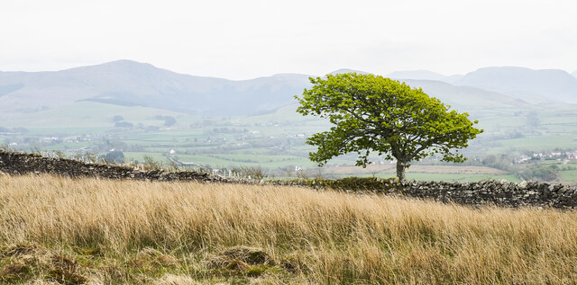
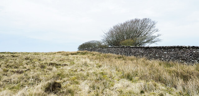
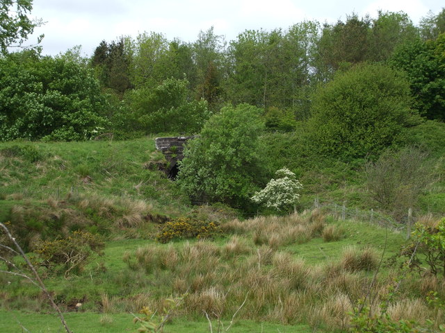
Boghill Wood is a picturesque forest located in Cumberland, a county in the northwest of England. Covering an area of approximately 500 acres, this woodland is a natural haven of tranquility and beauty. The forest is situated on the eastern slopes of the Pennines, offering stunning views of the surrounding countryside.
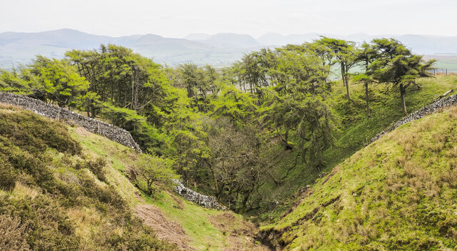
Boghill Wood is known for its diverse range of flora and fauna, making it a popular destination for nature enthusiasts and wildlife lovers. The forest is home to a variety of tree species, including oak, beech, ash, and birch. The dense canopy provides a habitat for numerous bird species, such as woodpeckers, owls, and songbirds. Visitors may also encounter small mammals like squirrels and rabbits during their exploration of the woodland.
The forest is crisscrossed by a network of well-maintained walking trails, allowing visitors to immerse themselves in the natural surroundings. These paths wind through the forest, leading to scenic viewpoints, trickling streams, and hidden clearings. The enchanting atmosphere of the wood is further enhanced by the presence of bluebells, wild garlic, and other wildflowers which carpet the forest floor in the spring.
Boghill Wood offers a peaceful retreat from the hustle and bustle of everyday life. It provides ample opportunities for outdoor activities such as hiking, birdwatching, and photography. Whether one seeks solitude or a family outing, this woodland is a perfect destination to reconnect with nature and enjoy the serenity it offers.
If you have any feedback on the listing, please let us know in the comments section below.
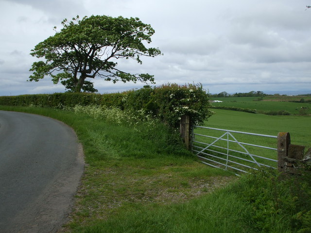
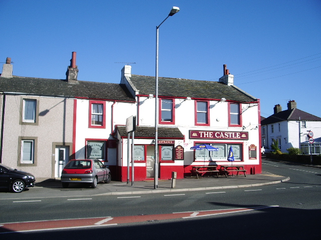
Boghill Wood Images
Images are sourced within 2km of 54.588202/-3.4957231 or Grid Reference NY0322. Thanks to Geograph Open Source API. All images are credited.


Boghill Wood is located at Grid Ref: NY0322 (Lat: 54.588202, Lng: -3.4957231)
Administrative County: Cumbria
District: Copeland
Police Authority: Cumbria
What 3 Words
///shoving.unimpeded.recorder. Near Distington, Cumbria
Nearby Locations
Related Wikis

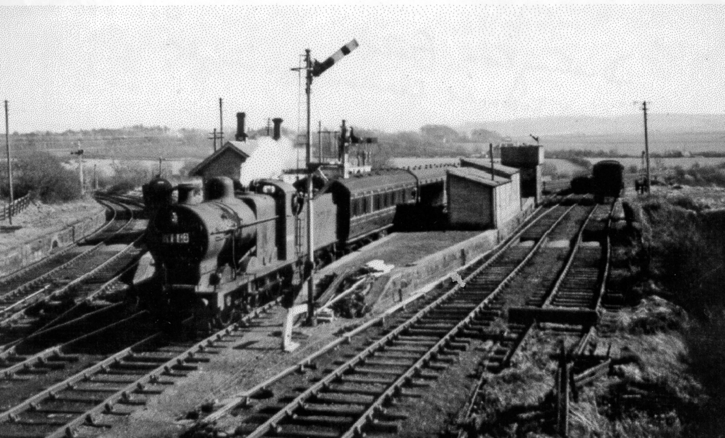
Oatlands railway station
Oatlands railway station served the village of Pica and Oatlands Colliery in the former English county of Cumberland, now part of Cumbria. == Location... ==

Branthwaite Edge
Branthwaite Edge is a hamlet in Cumbria, England. == References ==
Common End, Cumbria
Common End is a hamlet within the civil parish of Distington in Cumbria, England. Common End was on the A595 road until it was by-passed. == References ==
Distington railway station
Distington railway station was opened jointly by the Cleator and Workington Junction Railway (C&WJR) and the LNWR and Furness Joint Railway (The Joint...
Lakes College
Lakes College is a further education institute located at Lillyhall, Cumberland, England, between the towns of Workington and Whitehaven. The college offers...

Distington
Distington () is a large village and civil parish in Cumbria, England, 3 miles (4.8 km) south of Workington and 4 miles (6.4 km) north of Whitehaven. Historically...
Browtop
Browtop is a village in Cumbria, England. It is also an area of Keswick where Francis Galton stayed (In Galton's biography, Karl Pearson states that "Browtop...
Lamplugh railway station
Lamplugh railway station was built by the Whitehaven, Cleator and Egremont Railway. It served the scattered community of Lamplugh, Cumbria, England....
Nearby Amenities
Located within 500m of 54.588202,-3.4957231Have you been to Boghill Wood?
Leave your review of Boghill Wood below (or comments, questions and feedback).