Cop Wood
Wood, Forest in Cumberland Copeland
England
Cop Wood

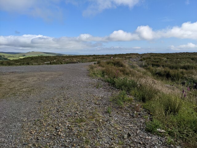
Cop Wood, Cumberland (Wood, Forest) is a picturesque woodland located in the county of Cumberland, England. Spread across an expansive area, it is a haven for nature enthusiasts and those seeking solace in the tranquility of the forest. The woodland is known for its dense canopy of trees, predominantly consisting of oak, birch, and beech. These towering trees create a cool and shaded environment, perfect for leisurely walks and exploring the diverse flora and fauna.
Within Cop Wood, visitors can find a variety of wildlife, including deer, foxes, rabbits, and a myriad of bird species. The forest's rich biodiversity is also home to a range of insects, creating a balanced ecosystem. Numerous nature trails crisscross the woodland, allowing visitors to fully immerse themselves in its beauty and discover hidden gems along the way.
In addition to its natural wonders, Cop Wood offers recreational activities for all ages. There are designated picnic areas where families and friends can enjoy a day out amidst the stunning surroundings. The forest is also a popular spot for birdwatching, with enthusiasts flocking to catch a glimpse of rare and migratory species.
For those interested in history, Cop Wood holds cultural significance. It is believed that the woodland has been in existence for centuries, with traces of ancient settlements and archaeological sites discovered within its boundaries.
Cop Wood, Cumberland (Wood, Forest) is a true treasure, offering a serene escape from the hustle and bustle of everyday life. Its natural beauty, diverse wildlife, and rich history make it a must-visit destination for nature lovers and history enthusiasts alike.
If you have any feedback on the listing, please let us know in the comments section below.
Cop Wood Images
Images are sourced within 2km of 54.482316/-3.4920866 or Grid Reference NY0310. Thanks to Geograph Open Source API. All images are credited.


Cop Wood is located at Grid Ref: NY0310 (Lat: 54.482316, Lng: -3.4920866)
Administrative County: Cumbria
District: Copeland
Police Authority: Cumbria
What 3 Words
///forms.conductor.acted. Near Egremont, Cumbria
Nearby Locations
Related Wikis
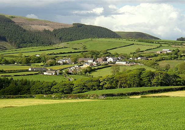
Wilton, Cumbria
Wilton is a hamlet in the Copeland district, in the county of Cumbria, England. It is near the small town of Egremont. In 1870-72 it had a population of...

Briscoe, Cumbria
Briscoe is a hamlet in Cumbria, England. It is located to the east of Egremont. == See also == List of places in Cumbria == References ==
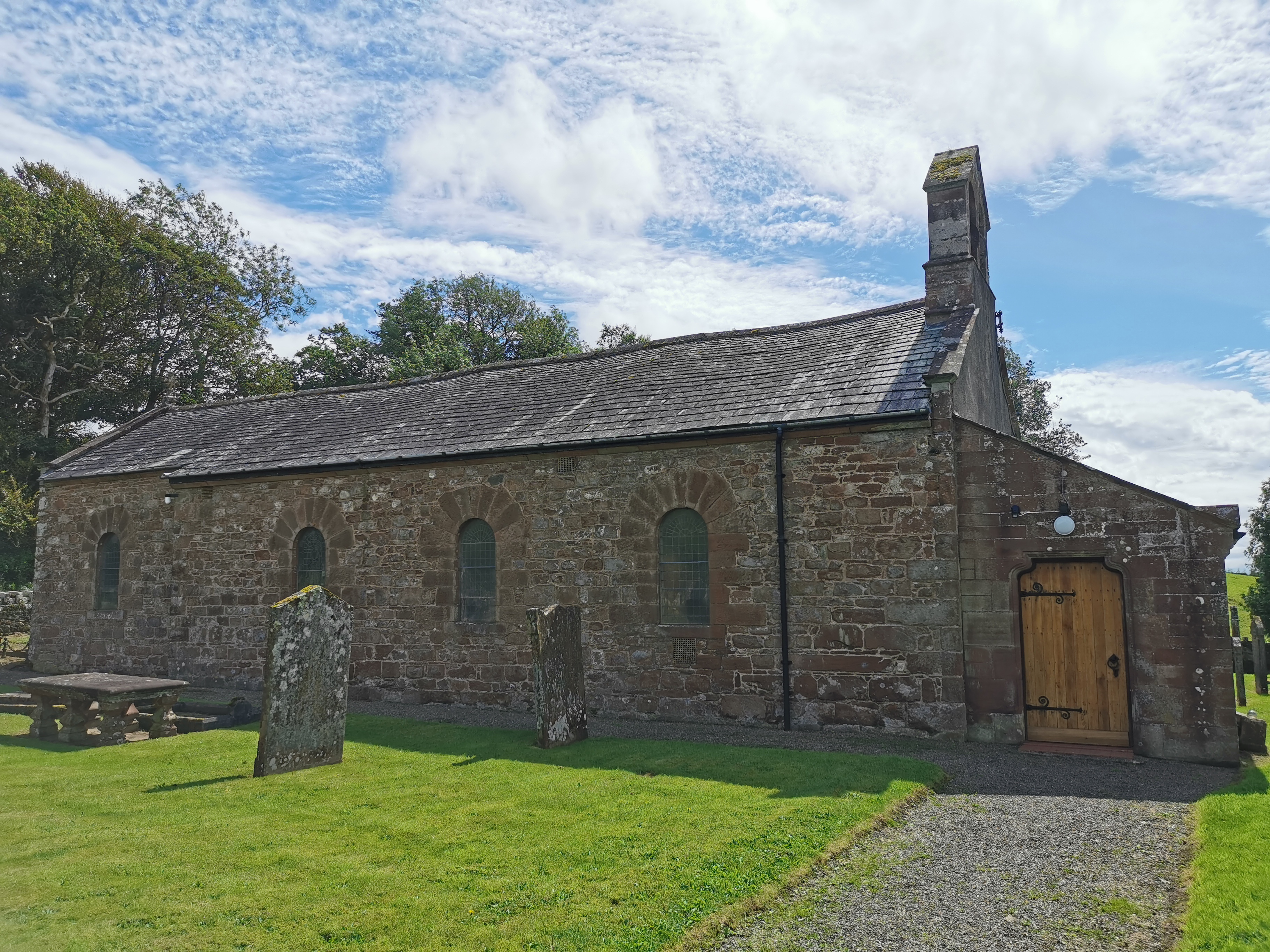
Haile Parish Church
Haile Parish Church is near Haile, Cumbria, England. It is an active Anglican parish church in the deanery of Calder, and the diocese of Carlisle. Its...

Haile, Cumbria
Haile is a small village and civil parish in Copeland district, in the county of Cumbria, England. It had a population of 617 at the 2011 Census.Nearby...

St Thomas Cross Platform railway station
St Thomas Cross Platform was a railway station used by workmen's trains on the Moor Row to Sellafield line on what is now the southeastern, Cringlethwaite...
Beckermet Mines railway station
Beckermet Mines railway station was situated at Pit No.1 of the mine of the same name. It was used by workmen's trains which travelled along a branch which...
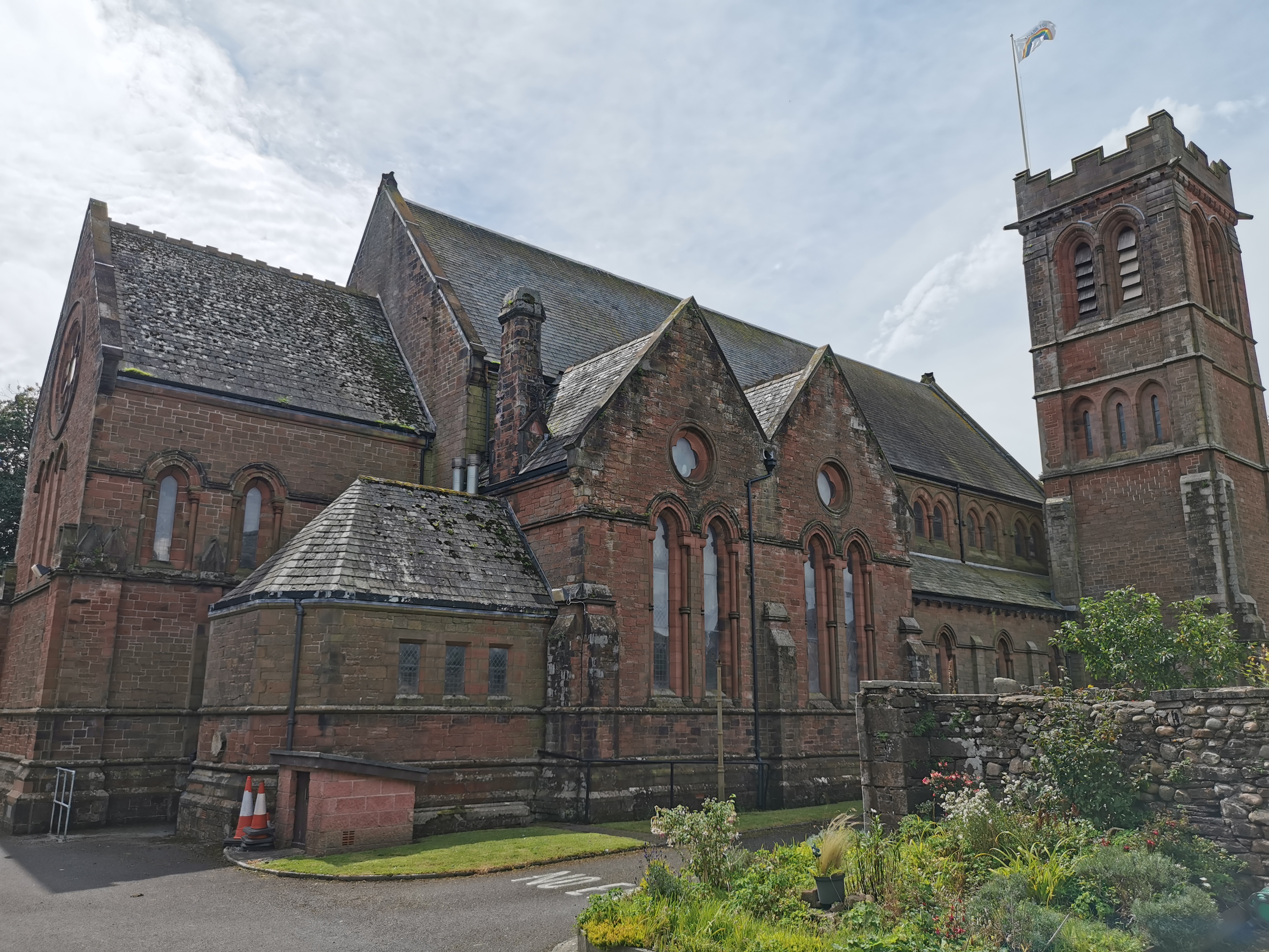
St Mary & St Michael, Egremont
St Mary & St Michael is in Egremont, Cumbria, England. It is an active Anglican parish church in the deanery of Calder, and the diocese of Carlisle. Its...
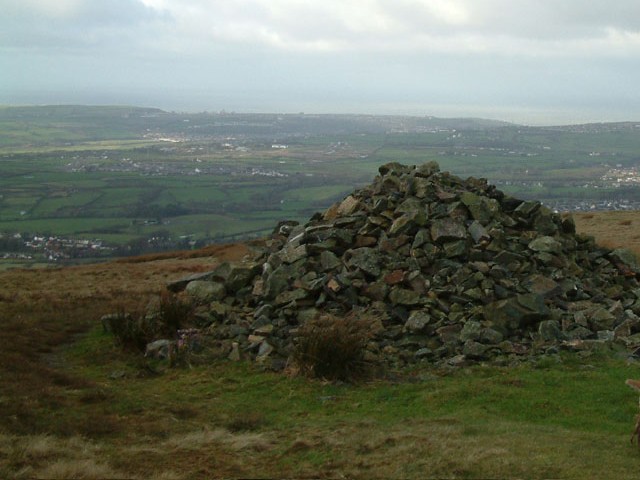
Dent (fell)
Dent is a small fell on the fringe of the English Lake District near the towns of Cleator Moor and Egremont. Sometimes known as Long Barrow, it is traditionally...
Nearby Amenities
Located within 500m of 54.482316,-3.4920866Have you been to Cop Wood?
Leave your review of Cop Wood below (or comments, questions and feedback).