Cow Field
Wood, Forest in Cumberland Copeland
England
Cow Field

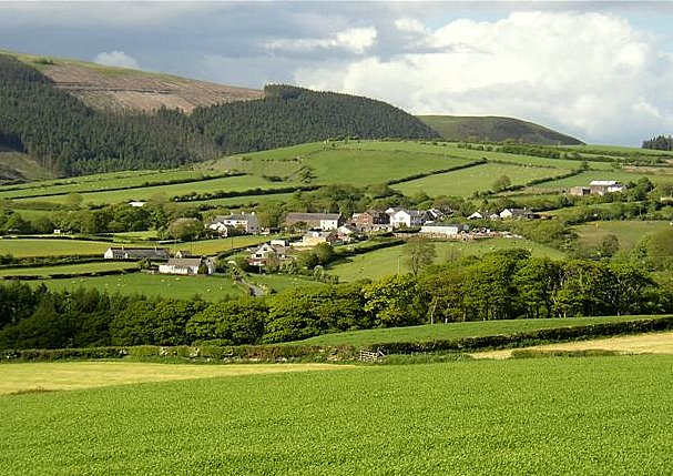
Cow Field, Cumberland (Wood, Forest) is a vast and picturesque area located in the county of Cumberland, England. Covering an expansive land area of approximately 500 acres, this stunning field is renowned for its lush green meadows and serene natural beauty.
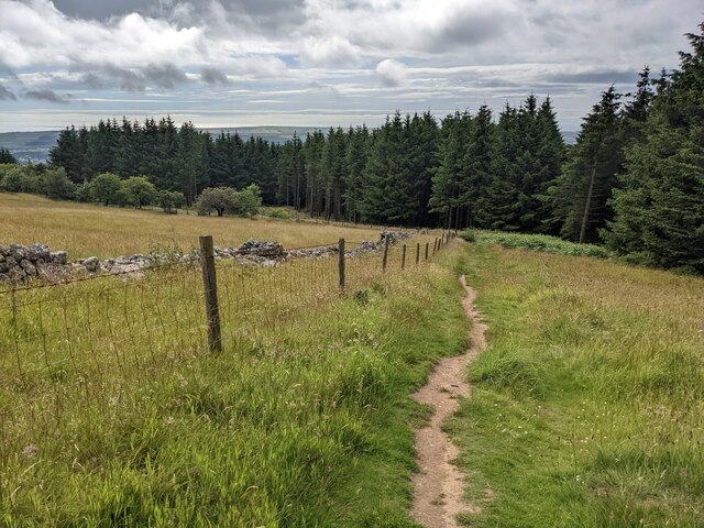
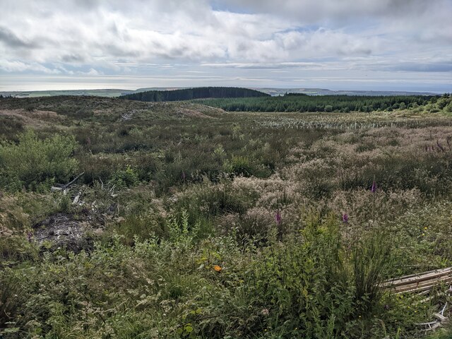
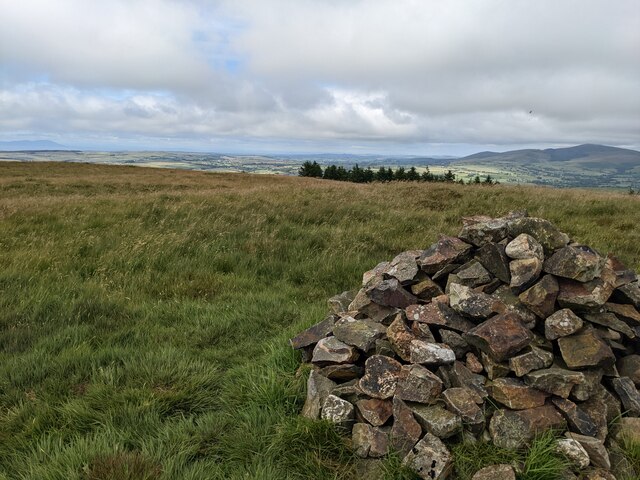
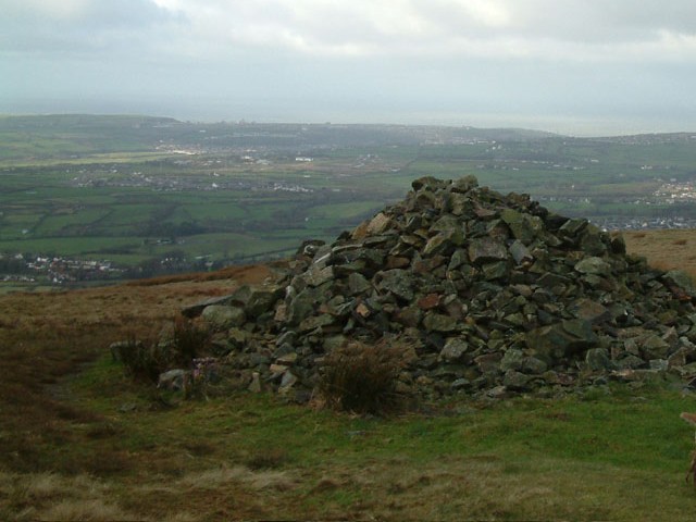
Cow Field is predominantly covered in tall, swaying grasses, interspersed with patches of wildflowers that add vibrant pops of color to the landscape. The area is home to a wide variety of flora and fauna, making it an ideal spot for nature enthusiasts and wildlife lovers. Visitors can expect to encounter grazing cows, peacefully coexisting with other animals like rabbits, deer, and various species of birds.
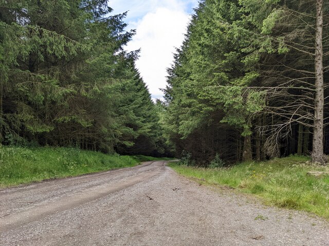
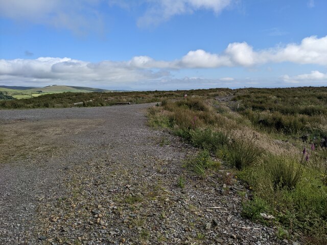
The field is surrounded by dense woodland, which adds to its overall charm and provides a tranquil setting for leisurely walks and hikes. The towering trees create a canopy that filters the sunlight, casting soft dappled shadows on the forest floor. Explorers can meander through the well-maintained trails, immersing themselves in the calming sounds of birdsong and rustling leaves.
In addition to its natural beauty, Cow Field offers recreational opportunities for visitors. There are designated picnic areas where families and friends can gather for a leisurely lunch amidst the idyllic surroundings. The field also features a small pond, perfect for a peaceful afternoon of fishing or simply enjoying the peaceful ambiance.
Overall, Cow Field, Cumberland (Wood, Forest) is a haven of tranquility and natural splendor. Its vast green meadows, diverse wildlife, and enchanting woodland make it a must-visit destination for those seeking solace in nature.
If you have any feedback on the listing, please let us know in the comments section below.
Cow Field Images
Images are sourced within 2km of 54.495213/-3.4950887 or Grid Reference NY0312. Thanks to Geograph Open Source API. All images are credited.


Cow Field is located at Grid Ref: NY0312 (Lat: 54.495213, Lng: -3.4950887)
Administrative County: Cumbria
District: Copeland
Police Authority: Cumbria
What 3 Words
///tomato.enrolling.thrusters. Near Egremont, Cumbria
Nearby Locations
Related Wikis

Briscoe, Cumbria
Briscoe is a hamlet in Cumbria, England. It is located to the east of Egremont. == See also == List of places in Cumbria == References ==
Dent (fell)
Dent is a small fell on the fringe of the English Lake District near the towns of Cleator Moor and Egremont. Sometimes known as Long Barrow, it is traditionally...
Wilton, Cumbria
Wilton is a hamlet in the Copeland district, in the county of Cumbria, England. It is near the small town of Egremont. In 1870-72 it had a population of...

Cleator
Cleator is a village in the English county of Cumbria and within the boundaries of the historic county of Cumberland. Cleator is located on the edge...

River Keekle
The River Keekle is a river running through the English county of Cumbria. The source of the Keekle is to be found at Keekle Head Farm on High Park between...
St Leonard, Cleator
St Leonard is a church in Cleator, Cumbria, England. It is an active Anglican parish church in the deanery of Calder, and the diocese of Carlisle. Its...
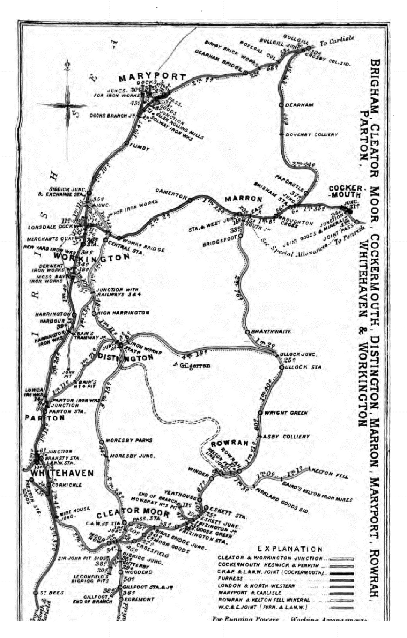
Gillfoot railway station
Gillfoot railway station was on the Whitehaven, Cleator and Egremont Railway line half a mile north of Egremont station, in Cumbria, England. == History... ==

Woodend, Egremont
Woodend is a village near Egremont, Cumbria, England. The village had a station on the Whitehaven, Cleator and Egremont Railway but it closed in 1947....
Nearby Amenities
Located within 500m of 54.495213,-3.4950887Have you been to Cow Field?
Leave your review of Cow Field below (or comments, questions and feedback).