Cow Field
Hill, Mountain in Cumberland Copeland
England
Cow Field

Cow Field is a picturesque hill located in Cumberland, a historic town in the state of Rhode Island, United States. Situated in the northeastern part of the town, this hill is a popular destination for outdoor enthusiasts and nature lovers.
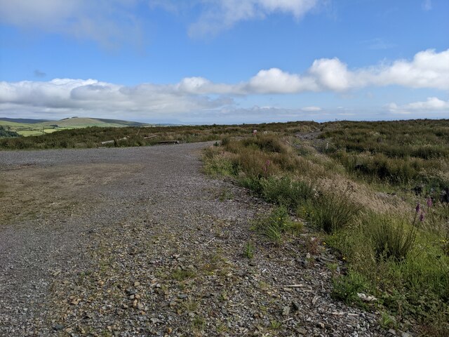
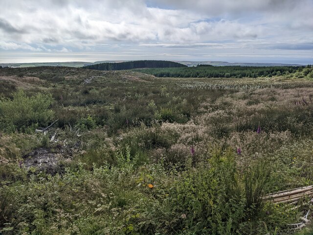
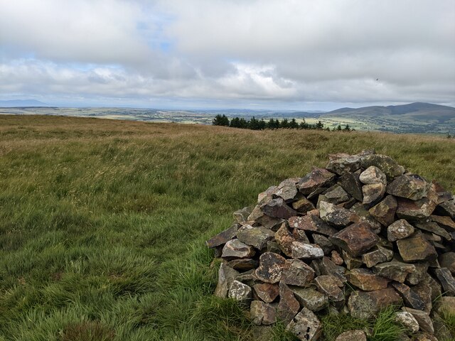
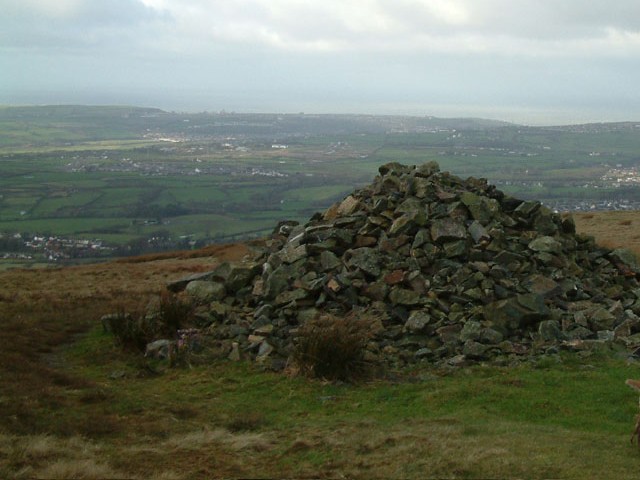
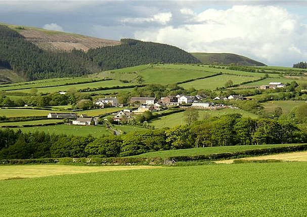
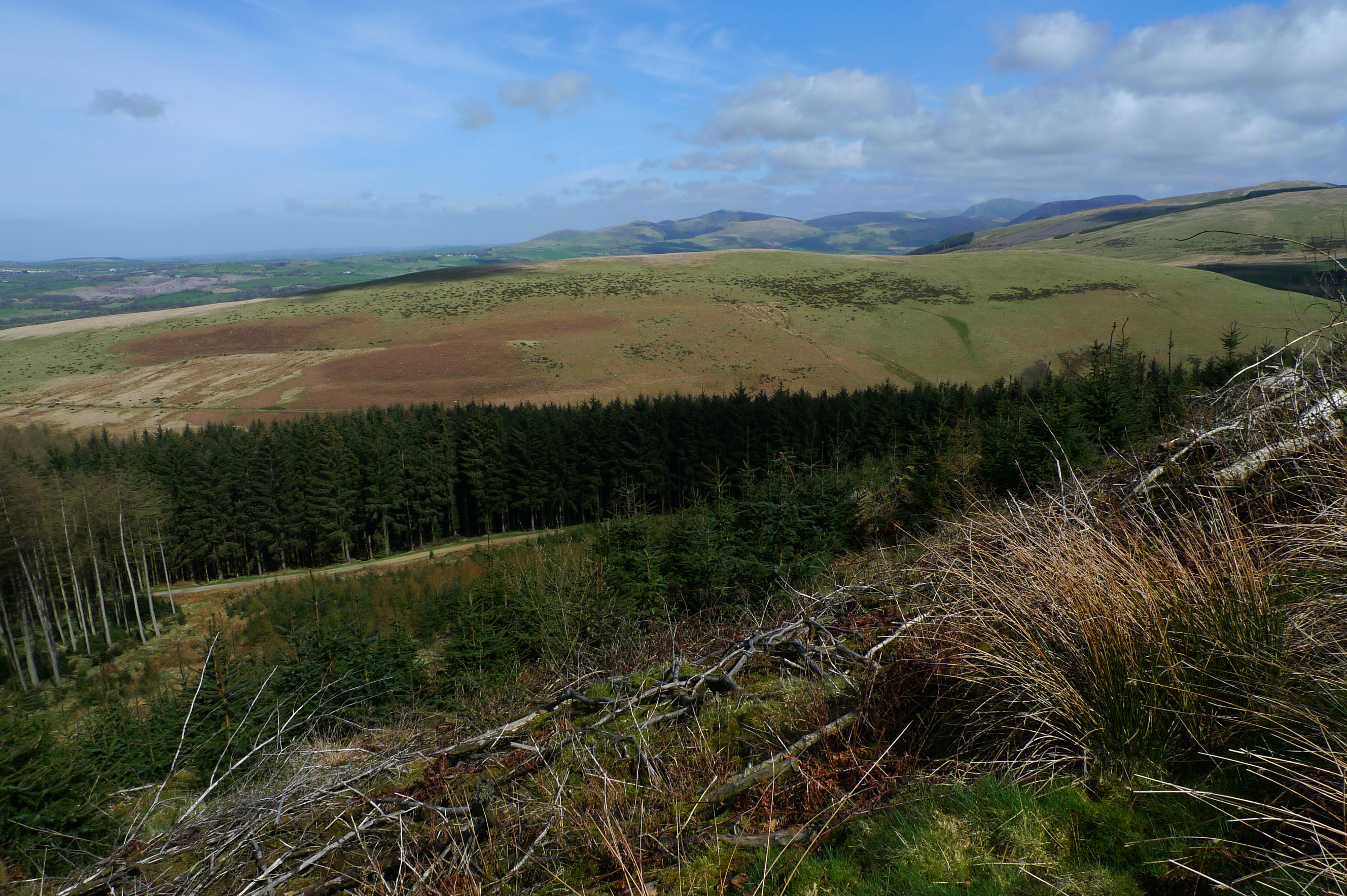
With an elevation of approximately 490 feet, Cow Field offers visitors breathtaking panoramic views of the surrounding landscape. The hill is known for its rolling green meadows, dotted with grazing cows, which gives it its name. The area is also home to diverse flora and fauna, making it a haven for birdwatchers and wildlife enthusiasts.
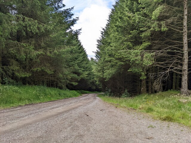
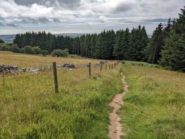
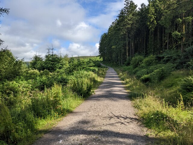
Access to Cow Field is made easy by a network of well-maintained trails that traverse the hill. Hikers and walkers can explore the area while enjoying the peaceful ambiance and fresh air. The trails are suitable for all skill levels, making Cow Field an ideal destination for families and individuals of all ages.
At the top of Cow Field, visitors can find a small observation deck that provides an even more expansive view of the surrounding countryside, including distant mountains and valleys. This vantage point is particularly popular during sunrise and sunset, offering stunning views that are perfect for photographers and nature enthusiasts.
Cow Field is also a great spot for picnicking and relaxation. The hill features several picnic tables and benches, allowing visitors to unwind and enjoy a meal amidst the beautiful natural surroundings.
Overall, Cow Field in Cumberland, Rhode Island, is a serene and scenic destination that offers visitors an opportunity to connect with nature and experience the tranquility of the countryside.
If you have any feedback on the listing, please let us know in the comments section below.
Cow Field Images
Images are sourced within 2km of 54.495006/-3.4922246 or Grid Reference NY0312. Thanks to Geograph Open Source API. All images are credited.


Cow Field is located at Grid Ref: NY0312 (Lat: 54.495006, Lng: -3.4922246)
Administrative County: Cumbria
District: Copeland
Police Authority: Cumbria
What 3 Words
///spellings.boots.scrapping. Near Egremont, Cumbria
Nearby Locations
Related Wikis
Dent (fell)
Dent is a small fell on the fringe of the English Lake District near the towns of Cleator Moor and Egremont. Sometimes known as Long Barrow, it is traditionally...
Wilton, Cumbria
Wilton is a hamlet in the Copeland district, in the county of Cumbria, England. It is near the small town of Egremont. In 1870-72 it had a population of...

Briscoe, Cumbria
Briscoe is a hamlet in Cumbria, England. It is located to the east of Egremont. == See also == List of places in Cumbria == References ==

Cleator
Cleator is a village in the English county of Cumbria and within the boundaries of the historic county of Cumberland. Cleator is located on the edge...

River Keekle
The River Keekle is a river running through the English county of Cumbria. The source of the Keekle is to be found at Keekle Head Farm on High Park between...
Flat Fell
Flat Fell is a hill located on the edge of the English Lake District, standing at 272m. It is included in Alfred Wainwright's Outlying Fells of Lakeland...
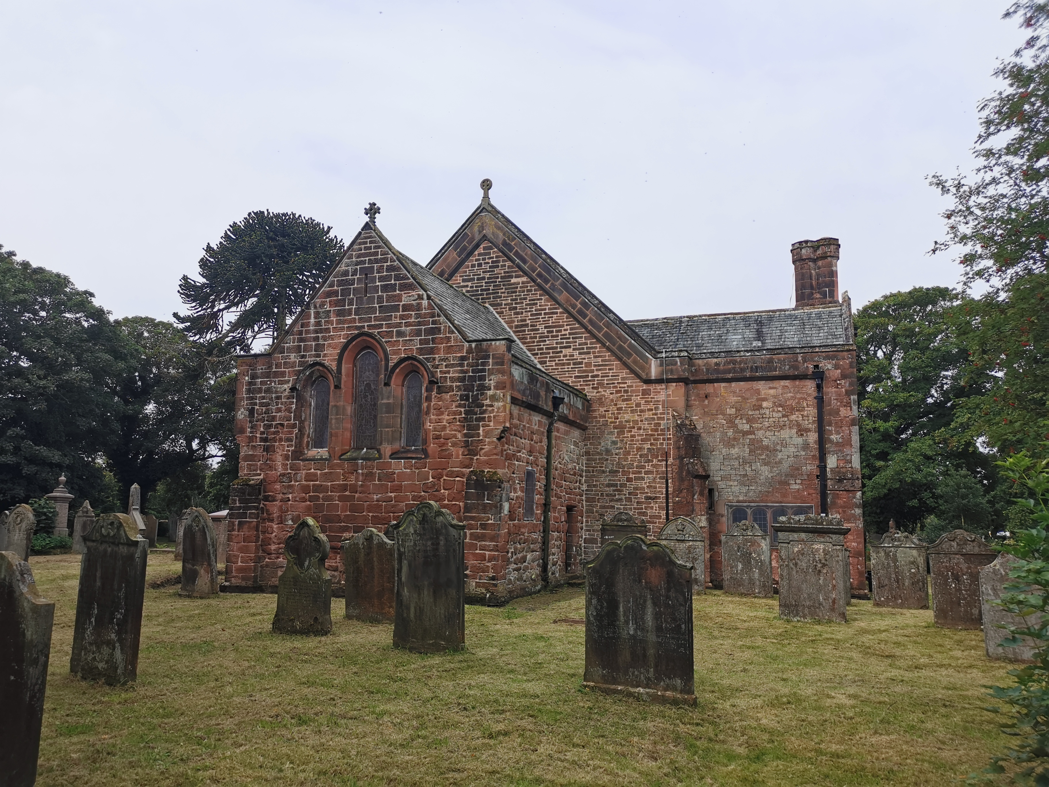
St Leonard, Cleator
St Leonard is a church in Cleator, Cumbria, England. It is an active Anglican parish church in the deanery of Calder, and the diocese of Carlisle. Its...

Blakeley Raise
Blakeley Raise is a fell in the English Lake District, standing at 389m. Unlike its neighbours Grike, Crag Fell and Lank Rigg it is not listed as a Wainwright...
Nearby Amenities
Located within 500m of 54.495006,-3.4922246Have you been to Cow Field?
Leave your review of Cow Field below (or comments, questions and feedback).