Annis Hill

Settlement in Suffolk East Suffolk

England

Annis Hill

4-8, Earsham Street, Bungay (Listed Building) C17 and early C18, 2 storey and attic.  C19 wood shop front to No 4. 

List Entry Number: 1234532 <span class="nowrap"><a title="https://historicengland.org.uk/listing/the-list/list-entry/1234532" rel="nofollow ugc noopener" href="https://historicengland.org.uk/listing/the-list/list-entry/1234532">Link</a><img style="margin-left:2px;" alt="External link" title="External link - shift click to open in new window" src="https://s1.geograph.org.uk/img/external.png" width="10" height="10"/></span>
4-8, Earsham Street, Bungay (Listed Building) Credit: Roger Jones

Annis Hill is a small village located in the county of Suffolk, England. Nestled amidst the picturesque countryside, it is situated approximately 10 miles east of the town of Bury St Edmunds. The village is characterized by its tranquil and idyllic setting, offering residents and visitors a peaceful retreat from the hustle and bustle of urban life.

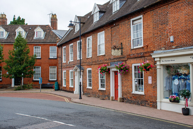
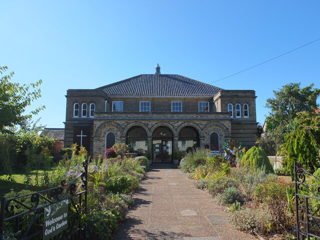
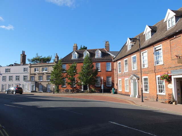
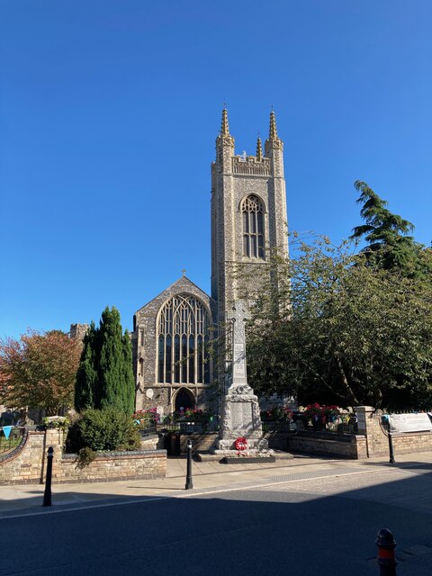
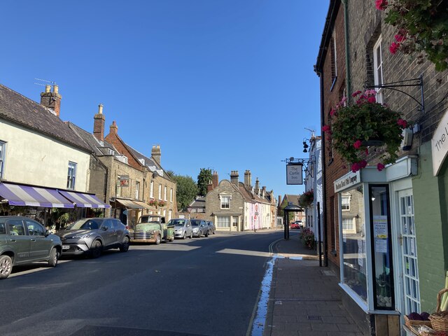
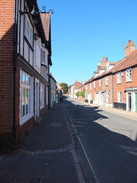
The main feature of Annis Hill is its charming village center, which consists of a handful of traditional cottages and a quaint church. The village is known for its tight-knit community, where residents take pride in maintaining the area's natural beauty and preserving its heritage.

Surrounded by rolling green fields and woodlands, Annis Hill is a haven for nature enthusiasts and outdoor lovers. There are several walking and cycling trails that wind through the countryside, providing breathtaking views and opportunities to spot local flora and fauna.

Despite its rural nature, Annis Hill is conveniently located near major road networks, making it easily accessible to nearby towns and cities. This allows residents to enjoy the tranquility of village life while still being within a reasonable distance to essential amenities.

Overall, Annis Hill offers a peaceful and picturesque escape, perfect for those seeking a slower pace of life in a beautiful countryside setting.

If you have any feedback on the listing, please let us know in the comments section below.
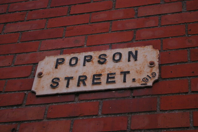
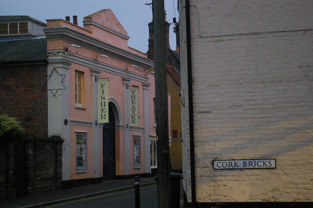
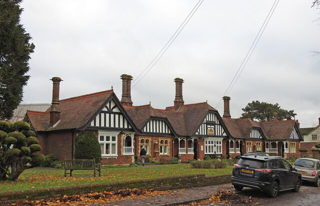
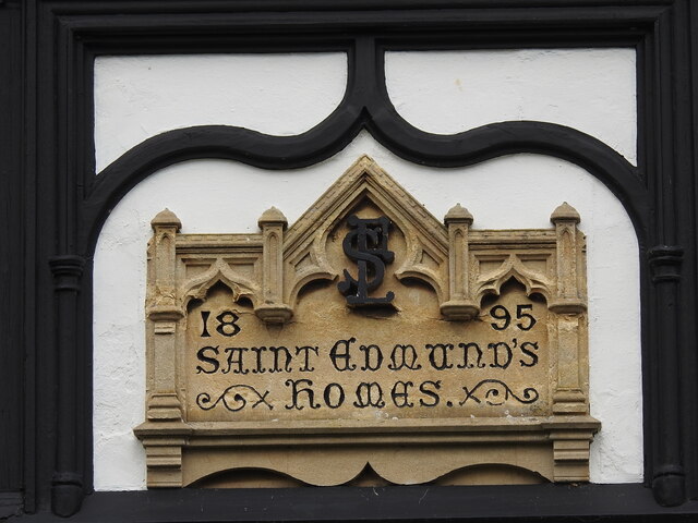
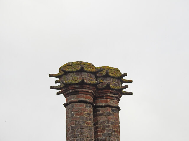
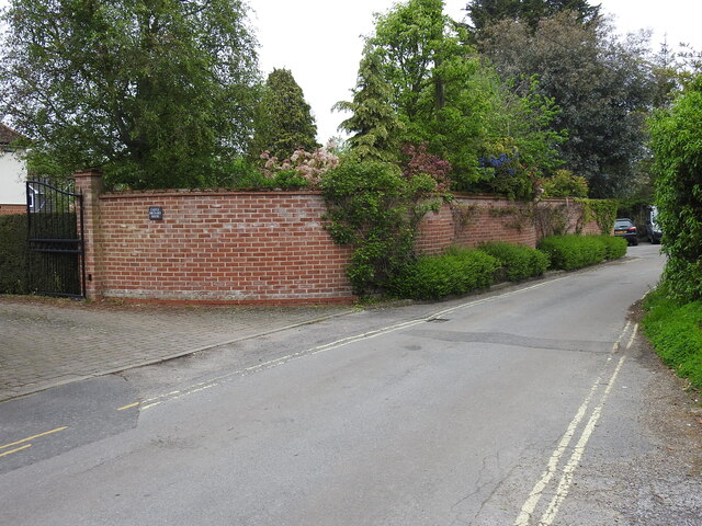
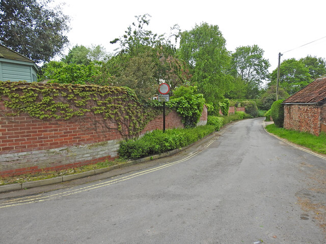
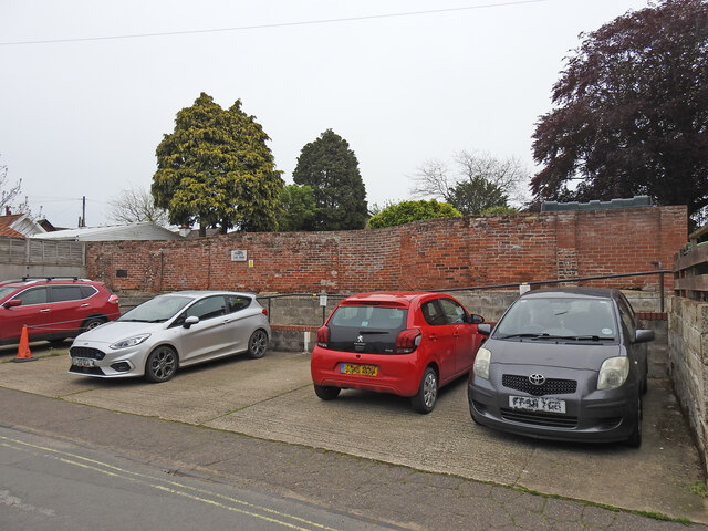
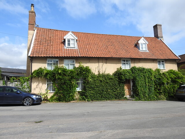
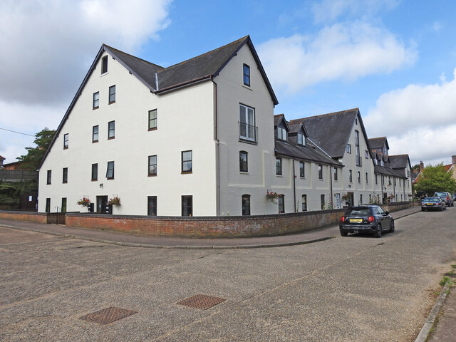
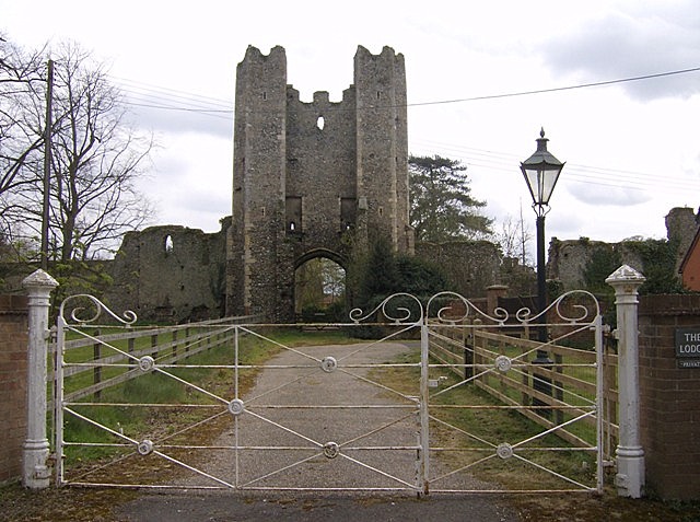
Annis Hill Images

Images are sourced within 2km of 52.44838/1.4567956 or Grid Reference TM3589. Thanks to Geograph Open Source API. All images are credited.

4-8, Earsham Street, Bungay (Listed Building) C17 and early C18, 2 storey and attic.  C19 wood shop front to No 4. 

List Entry Number: 1234532 <span class="nowrap"><a title="https://historicengland.org.uk/listing/the-list/list-entry/1234532" rel="nofollow ugc noopener" href="https://historicengland.org.uk/listing/the-list/list-entry/1234532">Link</a><img style="margin-left:2px;" alt="External link" title="External link - shift click to open in new window" src="https://s1.geograph.org.uk/img/external.png" width="10" height="10"/></span>
4-8, Earsham Street, Bungay (Listed Building)
C17 and early C18, 2 storey and attic. C19 wood shop front to No 4. List Entry Number: 1234532 LinkExternal link
Emmanuel Church, Upper Olland Street, Bungay
Houses on the corner of Earsham Street, Bungay
Bungay Castle
Bungay Castle
St Mary's church, Bungay St Mary's is a magnificent church which is now redundant and is cared for by The Church Conservation Trust and the Friends of St Mary’s Church: <span class="nowrap"><a title="https://stmaryschurchbungay.co.uk/" rel="nofollow ugc noopener" href="https://stmaryschurchbungay.co.uk/">Link</a><img style="margin-left:2px;" alt="External link" title="External link - shift click to open in new window" src="https://s1.geograph.org.uk/img/external.png" width="10" height="10"/></span>
St Mary's church, Bungay
St Mary's is a magnificent church which is now redundant and is cared for by The Church Conservation Trust and the Friends of St Mary’s Church: LinkExternal link
Earsham Street, Bungay
Upper Olland Street, Bungay
Market Place, Bungay
Street sign, Popson Street, Bungay This design of street sign is common in Bungay and some, like this one, carry the date 1919 in the corner.
Street sign, Popson Street, Bungay
This design of street sign is common in Bungay and some, like this one, carry the date 1919 in the corner.
Fisher Theatre, Broad Street, Bungay Fisher Theatre is now a cinema.  On the right, the entrance to the pleasingly-named Cork Bricks, a short alley that cuts through to the next street.
Fisher Theatre, Broad Street, Bungay
Fisher Theatre is now a cinema. On the right, the entrance to the pleasingly-named Cork Bricks, a short alley that cuts through to the next street.
Alms houses in Outney Road, Bungay St Edmund’s Almshouse, built in 1895 to the designs of E Banham, using funds donated by Frederick Smith (1833-1903), a local solicitor, is listed at Grade II, built of red brick laid in Flemish bond with stone dressings and plain red tiled roof covering.
Alms houses in Outney Road, Bungay
St Edmund’s Almshouse, built in 1895 to the designs of E Banham, using funds donated by Frederick Smith (1833-1903), a local solicitor, is listed at Grade II, built of red brick laid in Flemish bond with stone dressings and plain red tiled roof covering.
St Edmund's alms houses, Bungay - plaque detail The central gable, which is taller than those flanking it, contains this carved stone plaque with Gothic trefoil arches bearing the date of 1895 and St Edmund’s Homes with the entwined letters SE above.
St Edmund's alms houses, Bungay - plaque detail
The central gable, which is taller than those flanking it, contains this carved stone plaque with Gothic trefoil arches bearing the date of 1895 and St Edmund’s Homes with the entwined letters SE above.
St Edmund's alms houses, Bungay - chimney detail Above the steeply pitched roof are five tall octagonal chimneys shafts with moulded brick bases and star tops.
St Edmund's alms houses, Bungay - chimney detail
Above the steeply pitched roof are five tall octagonal chimneys shafts with moulded brick bases and star tops.
Crinkle-crankle wall at Castle Orchard, Bungay The wall surrounds two sides of the house's garden and is about 80 yards in total
Crinkle-crankle wall at Castle Orchard, Bungay
The wall surrounds two sides of the house's garden and is about 80 yards in total
Crinkle-crankle wall around the garden of Castle Orchard House The wall is about 80 yards long in total and the rest can be seen here <a href="https://www.geograph.org.uk/photo/7482337">TM3389 : Crinkle-crankle wall at Castle Orchard, Bungay</a>
Crinkle-crankle wall around the garden of Castle Orchard House
The wall is about 80 yards long in total and the rest can be seen here TM3389 : Crinkle-crankle wall at Castle Orchard, Bungay
The crinkle-crankle wall of St Mary's House, Bungay St Mary's House is a former school in Bungay. An independent school for boys and girls up to eleven; and for girls only from eleven to fifteen. It closed in 1964, when the two spinster ladies, Miss Maudsley and Miss Doble, to whom it belonged retired. It is currently a private residence
The crinkle-crankle wall of St Mary's House, Bungay
St Mary's House is a former school in Bungay. An independent school for boys and girls up to eleven; and for girls only from eleven to fifteen. It closed in 1964, when the two spinster ladies, Miss Maudsley and Miss Doble, to whom it belonged retired. It is currently a private residence
The former White Horse public house, Bungay Staithe Grade II listed, late 16th or early 17th century former Inn which is little changed since becoming a private dwelling house.
The former White Horse public house, Bungay Staithe
Grade II listed, late 16th or early 17th century former Inn which is little changed since becoming a private dwelling house.
Former maltings at Bungay Staithe Situated close to the River Waveney the former Bungay Maltings has been tastefully converted into a number of apartments while the exterior has retained much of its original appearance.
Former maltings at Bungay Staithe
Situated close to the River Waveney the former Bungay Maltings has been tastefully converted into a number of apartments while the exterior has retained much of its original appearance.
Show me another place!

Annis Hill is located at Grid Ref: TM3589 (Lat: 52.44838, Lng: 1.4567956)

Administrative County: Suffolk

District: East Suffolk

Police Authority: Suffolk

What 3 Words

///something.tune.spouting. Near Bungay, Suffolk

Nearby Locations

Annis Hill

Related Wikis

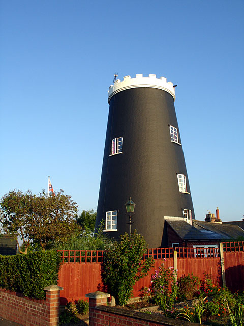
Flixton Road Mill, Bungay

Flixton Road Mill is a tower mill at Bungay, Suffolk, England which has been truncated and converted to residential accommodation. The structure is a Grade...

Bungay High School

Bungay High School is a mixed-sex secondary school with academy status in the town of Bungay in the north of the English county of Suffolk. It caters for...

Mettingham College

Mettingham College was a monastic college in the parish of Mettingham in the English county of Suffolk. The college was located within Mettingham Castle...

Mettingham Castle

Mettingham Castle was a fortified manor house in the parish of Mettingham in the north of the English county of Suffolk. == Details == Mettingham Castle...

Bungay Priory

Bungay Priory was a Benedictine nunnery in the town of Bungay in the English county of Suffolk. It was founded c. 1160-1185 by the Countess Gundreda, wife...

Mettingham

Mettingham is a village and civil parish in the north of the English county of Suffolk. It is 2 miles (3.2 km) east of the market town of Bungay in the...

St Mary's Church, Bungay

St Mary's Church is a redundant Anglican church in the town of Bungay, Suffolk, England. The church and the ruins of the adjacent priory are recorded...
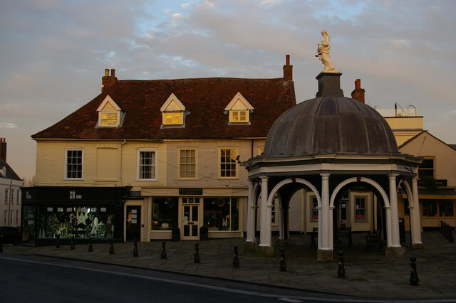
Bungay

Bungay () is a market town, civil parish and electoral ward in the English county of Suffolk. It lies in the Waveney Valley, 5.5 miles (9 km) west of Beccles...

Nearby Amenities

Located within 500m of 52.44838,1.4567956
Bus Stop
Joyce Road
Bus: yes
Naptan AtcoCode: 390070057
Naptan Bearing: SW
Naptan CommonName: Joyce Road
Naptan Indicator: adj
Naptan Landmark: Joyce Road
Naptan NaptanCode: sufgwawd
Naptan Street: Hillside Road East
Naptan Verified: no
Public Transport: platform
Shelter: yes
Source: naptan_import
Lat/Long: 52.4505211/1.4513642
Bus Stop
Joyce Road
Bus: yes
Naptan AtcoCode: 390070058
Naptan Bearing: NE
Naptan BusStopType: CUS
Naptan CommonName: Joyce Road
Naptan Indicator: opp
Naptan Landmark: Joyce Road
Naptan NaptanCode: sufgwawg
Naptan Street: Hillside Road East
Public Transport: platform
Shelter: yes
Source: naptan_import;survey
Lat/Long: 52.4505572/1.4512055
Bus Stop
Middle School
Bus: yes
Naptan AtcoCode: 390070059
Naptan Bearing: SW
Naptan BusStopType: CUS
Naptan CommonName: Middle School
Naptan Indicator: o/s
Naptan Landmark: Middle School
Naptan NaptanCode: sufgwawj
Naptan Street: Hillside Road East
Naptan Verified: no
Public Transport: platform
Source: naptan_import
Lat/Long: 52.4520961/1.4538112
Bus Stop
Middle School
Bench: yes
Bus: yes
Naptan AtcoCode: 390070060
Naptan Bearing: NE
Naptan BusStopType: CUS
Naptan CommonName: Middle School
Naptan Indicator: opp
Naptan Landmark: Middle School
Naptan NaptanCode: sufgwawm
Naptan Street: Hillside Road East
Naptan Verified: no
Public Transport: platform
Shelter: yes
Source: naptan_import
Lat/Long: 52.4518568/1.4530587
Bus Stop
Annis Hill
Bus: yes
Naptan AtcoCode: 390070860
Naptan Bearing: SW
Naptan CommonName: Annis Hill
Naptan Indicator: adj
Naptan Landmark: Annis Hill
Naptan NaptanCode: sufjmjdt
Naptan Street: Hillside Road East
Public Transport: platform
Shelter: yes
Source: naptan_import;survey
Lat/Long: 52.4524732/1.4545234
Bus Stop
Annis Hill
Bus: yes
Naptan AtcoCode: 390070861
Naptan Bearing: NE
Naptan BusStopType: CUS
Naptan CommonName: Annis Hill
Naptan Indicator: opp
Naptan Landmark: Annis hill
Naptan NaptanCode: sufjmjdw
Naptan Street: Hillside Road East
Public Transport: platform
Shelter: yes
Source: naptan_import;survey
Lat/Long: 52.4525133/1.4544426
Turning Circle
Lat/Long: 52.4474452/1.4534095
Fuel
The Co-operative
Brand: The Co-operative
Operator: Central England Co-operative
Operator Wikidata: Q16986583
Toilets Wheelchair: yes
Wheelchair: yes
Lat/Long: 52.4503858/1.4502665
Give Way
Lat/Long: 52.4508126/1.451729
Crossing
Lat/Long: 52.4505222/1.4506404
The Co-operative Food
Addr City: Suffolk
Addr Postcode: NR35 1RX
Addr Street: Hillside Road East
Brand: The Co-operative Food
Brand Wikidata: Q107617274
Fhrs Id: 1074652
Operator: Central England Co-operative
Operator Wikidata: Q16986583
Shop: convenience
Website: https://stores.centralengland.coop/norfolk/bungay/hillside-road-east
Lat/Long: 52.4502877/1.4504462
Barrier: kissing_gate
Lat/Long: 52.4458926/1.4556401
Barrier: kissing_gate
Lat/Long: 52.4472153/1.4536084
Generator Method: photovoltaic
Generator Output Electricity: yes
Generator Source: solar
Generator Type: solar_photovoltaic_panel
Location: roof
Power: generator
Lat/Long: 52.4492553/1.454684
Generator Method: photovoltaic
Generator Output Electricity: yes
Generator Source: solar
Generator Type: solar_photovoltaic_panel
Location: roof
Power: generator
Lat/Long: 52.449525/1.4541596
Generator Method: photovoltaic
Generator Output Electricity: yes
Generator Source: solar
Generator Type: solar_photovoltaic_panel
Location: roof
Power: generator
Lat/Long: 52.4489905/1.4529674
Generator Method: photovoltaic
Generator Output Electricity: yes
Generator Source: solar
Generator Type: solar_photovoltaic_panel
Location: roof
Power: generator
Lat/Long: 52.4481453/1.4529432
Generator Method: photovoltaic
Generator Output Electricity: yes
Generator Source: solar
Generator Type: solar_photovoltaic_panel
Location: roof
Power: generator
Lat/Long: 52.4484862/1.4511341
Generator Method: photovoltaic
Generator Output Electricity: yes
Generator Source: solar
Generator Type: solar_photovoltaic_panel
Location: roof
Power: generator
Lat/Long: 52.4497065/1.4551587
Generator Method: photovoltaic
Generator Output Electricity: yes
Generator Source: solar
Generator Type: solar_photovoltaic_panel
Location: roof
Power: generator
Lat/Long: 52.4495422/1.4550702
Generator Method: photovoltaic
Generator Output Electricity: yes
Generator Source: solar
Generator Type: solar_photovoltaic_panel
Location: roof
Power: generator
Lat/Long: 52.4497661/1.4565602
Generator Method: photovoltaic
Generator Output Electricity: yes
Generator Source: solar
Generator Type: solar_photovoltaic_panel
Location: roof
Power: generator
Lat/Long: 52.4480031/1.4551051
Generator Method: photovoltaic
Generator Output Electricity: yes
Generator Source: solar
Generator Type: solar_photovoltaic_panel
Location: roof
Power: generator
Lat/Long: 52.4484016/1.4540027
Generator Method: photovoltaic
Generator Output Electricity: yes
Generator Source: solar
Generator Type: solar_photovoltaic_panel
Location: roof
Power: generator
Lat/Long: 52.4484028/1.4540711
Generator Method: photovoltaic
Generator Output Electricity: yes
Generator Source: solar
Generator Type: solar_photovoltaic_panel
Location: roof
Power: generator
Lat/Long: 52.4483546/1.454393
Generator Method: photovoltaic
Generator Output Electricity: yes
Generator Source: solar
Generator Type: solar_photovoltaic_panel
Location: roof
Power: generator
Lat/Long: 52.4478641/1.4495757
Generator Method: photovoltaic
Generator Output Electricity: yes
Generator Source: solar
Generator Type: solar_photovoltaic_panel
Location: roof
Power: generator
Lat/Long: 52.4479671/1.4498091
Give Way
Lat/Long: 52.4523997/1.4550394
Give Way
Lat/Long: 52.4525552/1.4547007
Give Way
Lat/Long: 52.4525158/1.4540567
Give Way
Lat/Long: 52.4524216/1.4542324
Give Way
Lat/Long: 52.4516162/1.4517104
Give Way
Lat/Long: 52.4511608/1.4521029
Give Way
Lat/Long: 52.4513165/1.4520244
Crossing
Crossing: unmarked
Lat/Long: 52.4498417/1.4499436
Give Way
Lat/Long: 52.449933/1.450296
Crossing
Crossing: unmarked
Lat/Long: 52.4499427/1.4501323
Crossing
Crossing: unmarked
Lat/Long: 52.4503531/1.4508009
Crossing
Crossing: unmarked
Lat/Long: 52.4501005/1.4503588
Barrier: kerb
Kerb: lowered
Tactile Paving: yes
Wheelchair: yes
Lat/Long: 52.4503188/1.4507405
Barrier: kerb
Kerb: lowered
Tactile Paving: yes
Wheelchair: yes
Lat/Long: 52.4503848/1.4508649
Barrier: kerb
Kerb: lowered
Tactile Paving: yes
Wheelchair: yes
Lat/Long: 52.4500765/1.4503164
Barrier: kerb
Kerb: lowered
Tactile Paving: yes
Wheelchair: yes
Lat/Long: 52.4501352/1.4504196
Give Way
Lat/Long: 52.4504951/1.4506282
Give Way
Lat/Long: 52.4503195/1.4508639
Crossing
Crossing: uncontrolled
Crossing Ref: zebra
Lit: yes
Surface: asphalt
Lat/Long: 52.4510597/1.4520222
Barrier: kerb
Kerb: lowered
Tactile Paving: yes
Wheelchair: yes
Lat/Long: 52.4510403/1.4520595
Barrier: kerb
Kerb: lowered
Tactile Paving: yes
Wheelchair: yes
Lat/Long: 52.4510795/1.4519843
Crossing
Crossing: unmarked
Lat/Long: 52.4524544/1.454869
Crossing
Crossing: unmarked
Lat/Long: 52.4525035/1.4545024
Noexit: yes
Lat/Long: 52.4524858/1.4545801
Noexit: yes
Lat/Long: 52.4509987/1.4510865
Noexit: yes
Lat/Long: 52.4510996/1.451299
Addr City: Bungay
Addr Housenumber: 33
Addr Street: Hillside Road East
Building: house
Lat/Long: 52.4497269/1.450595
Addr City: Bungay
Addr Housenumber: 31
Addr Street: Hillside Road East
Building: house
Lat/Long: 52.4497719/1.450662
Waste Basket
Lat/Long: 52.4505704/1.4511978
Addr City: Bungay
Addr Housenumber: 17
Addr Street: Hillside Road East
Building: house
Lat/Long: 52.4506096/1.451924
Addr City: Bungay
Addr Housenumber: 15
Addr Street: Hillside Road East
Building: house
Lat/Long: 52.4506611/1.4519964
Addr City: Bungay
Addr Housenumber: 11
Addr Street: Hillside Road East
Building: house
Lat/Long: 52.4508761/1.4523344
Addr City: Bungay
Addr Housenumber: 13
Addr Street: Hillside Road East
Building: house
Lat/Long: 52.4507698/1.4521667
Addr City: Bungay
Addr Housenumber: 9
Addr Street: Hillside Road East
Building: house
Lat/Long: 52.4509807/1.4524752
Addr City: Bungay
Addr Housenumber: 26
Addr Street: Hillside Road East
Building: house
Lat/Long: 52.4520555/1.4530505
Addr City: Bungay
Addr Housenumber: 24
Addr Street: Hillside Road East
Building: house
Lat/Long: 52.4520865/1.4531136
Addr City: Bungay
Addr Housenumber: 22
Addr Street: Hillside Road East
Building: house
Lat/Long: 52.4521601/1.4532396
Addr City: Bungay
Addr Housenumber: 20
Addr Street: Hillside Road East
Building: house
Lat/Long: 52.4521944/1.453304
Grit Bin
Lat/Long: 52.4512406/1.4519361
Waste Basket
Waste: dog_excrement
Lat/Long: 52.4513742/1.4520192
Addr City: Bungay
Addr Housenumber: 38
Addr Street: Hillside Road East
Building: house
Lat/Long: 52.4516513/1.4523847
Addr City: Bungay
Addr Housenumber: 28
Addr Street: Hillside Road East
Building: house
Lat/Long: 52.4519844/1.4528963
Addr City: Bungay
Addr Housenumber: 18
Addr Street: Hillside Road East
Building: house
Lat/Long: 52.452268/1.4534341
Addr City: Bungay
Addr Housenumber: 16
Addr Street: Hillside Road East
Building: house
Lat/Long: 52.452299/1.4534971
Addr City: Bungay
Addr Housenumber: 14
Addr Street: Hillside Road East
Building: house
Lat/Long: 52.4524036/1.4536071
The data included in this document is from www.openstreetmap.org. The data is made available under ODbL.

Have you been to Annis Hill?

Leave your review of Annis Hill below (or comments, questions and feedback).