Anniesland
Settlement in Renfrewshire
Scotland
Anniesland
Anniesland is a suburban area located in the city of Glasgow, Scotland. It is situated in the west end of the city, specifically in the council area of Renfrewshire. The neighborhood is bordered by other prominent areas such as Knightswood, Jordanhill, and Yoker.
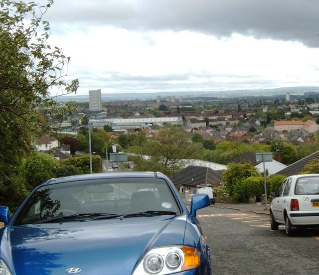
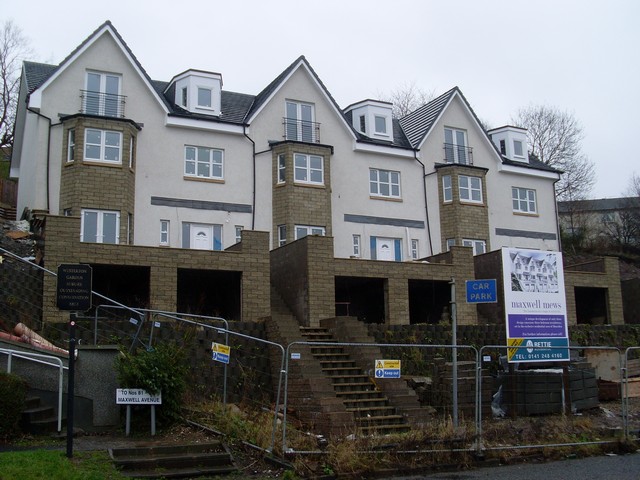
Anniesland is primarily a residential area, offering a mix of housing options including traditional tenements, modern apartments, and family homes. The community is known for its quiet and relaxed atmosphere, making it an ideal place for families and professionals seeking a peaceful environment.
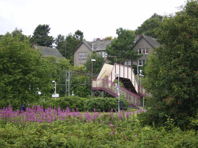
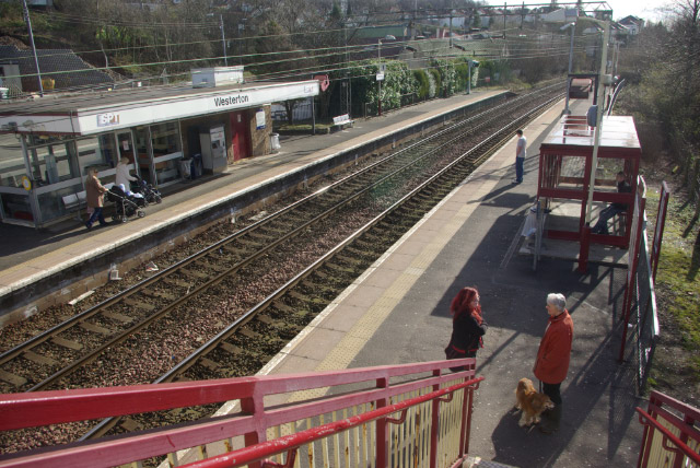
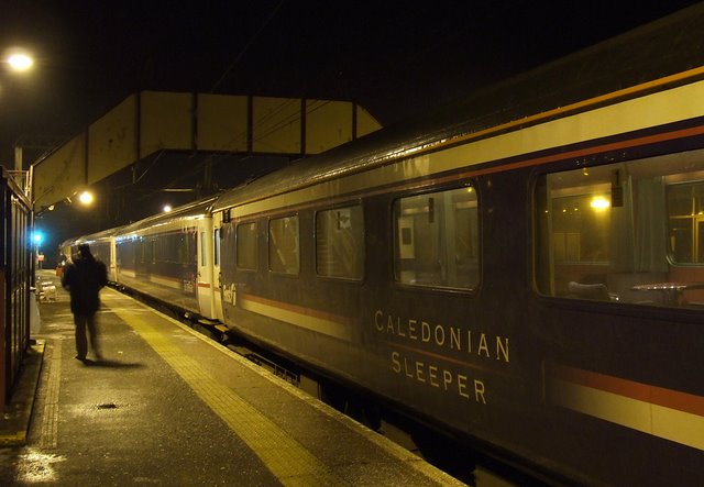
One of the highlights of Anniesland is its excellent transport links. The neighborhood is well-served by public transportation, with Anniesland train station providing direct connections to Glasgow city center and other parts of the country. Additionally, there are several bus routes that pass through the area, ensuring easy accessibility to other areas of Glasgow.
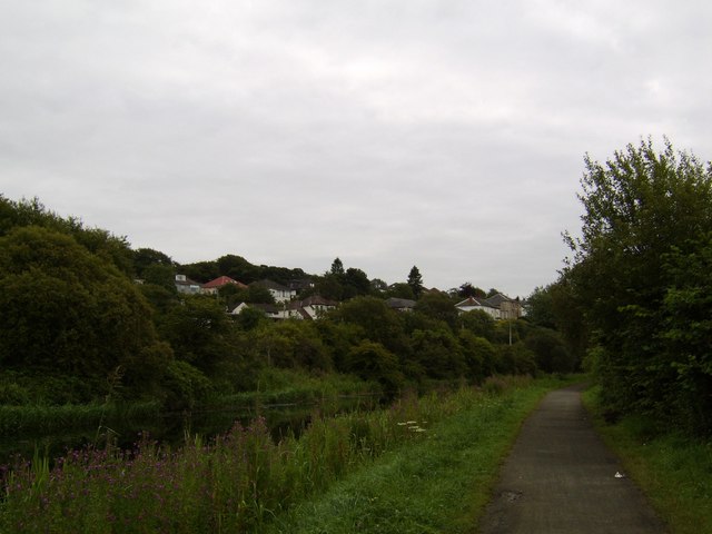
Residents of Anniesland benefit from a range of amenities and services within the neighborhood. There are several local shops, supermarkets, and eateries, providing convenient options for daily needs. For recreational activities, residents can enjoy the nearby Victoria Park, which offers beautiful green spaces, sports facilities, and a children's play area.
Education is well-catered for in Anniesland, with several primary and secondary schools located within the area. Additionally, the neighborhood is home to the Anniesland College campus, which offers further and higher education courses.
In summary, Anniesland in Renfrewshire is a peaceful and well-connected neighborhood, offering a range of housing options, convenient amenities, and excellent transport links.
If you have any feedback on the listing, please let us know in the comments section below.
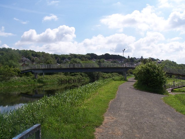
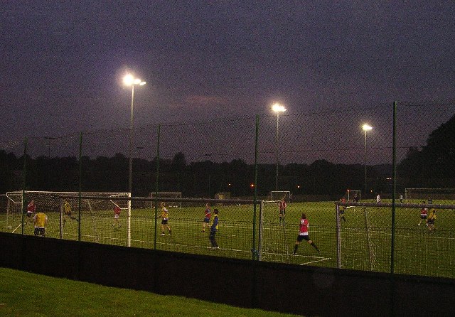
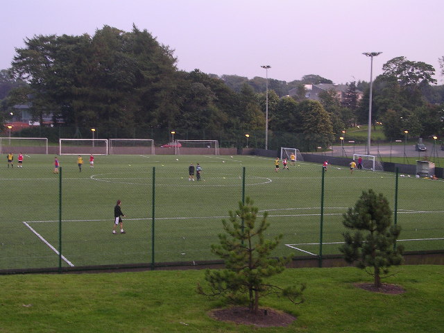
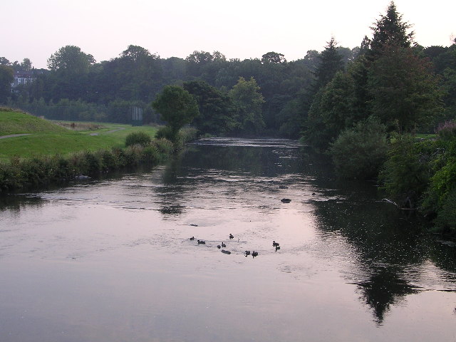
Anniesland Images
Images are sourced within 2km of 55.890046/-4.3278678 or Grid Reference NS5468. Thanks to Geograph Open Source API. All images are credited.


Anniesland is located at Grid Ref: NS5468 (Lat: 55.890046, Lng: -4.3278678)
Unitary Authority: City of Glasgow
Police Authority: Greater Glasgow
What 3 Words
///export.herds.press. Near Bearsden, East Dunbartonshire
Nearby Locations
Related Wikis

Anniesland
Anniesland (Scottish Gaelic: Fearann Anna) is a district in the West End of the Scottish city Glasgow. It is situated north of the River Clyde, and centres...
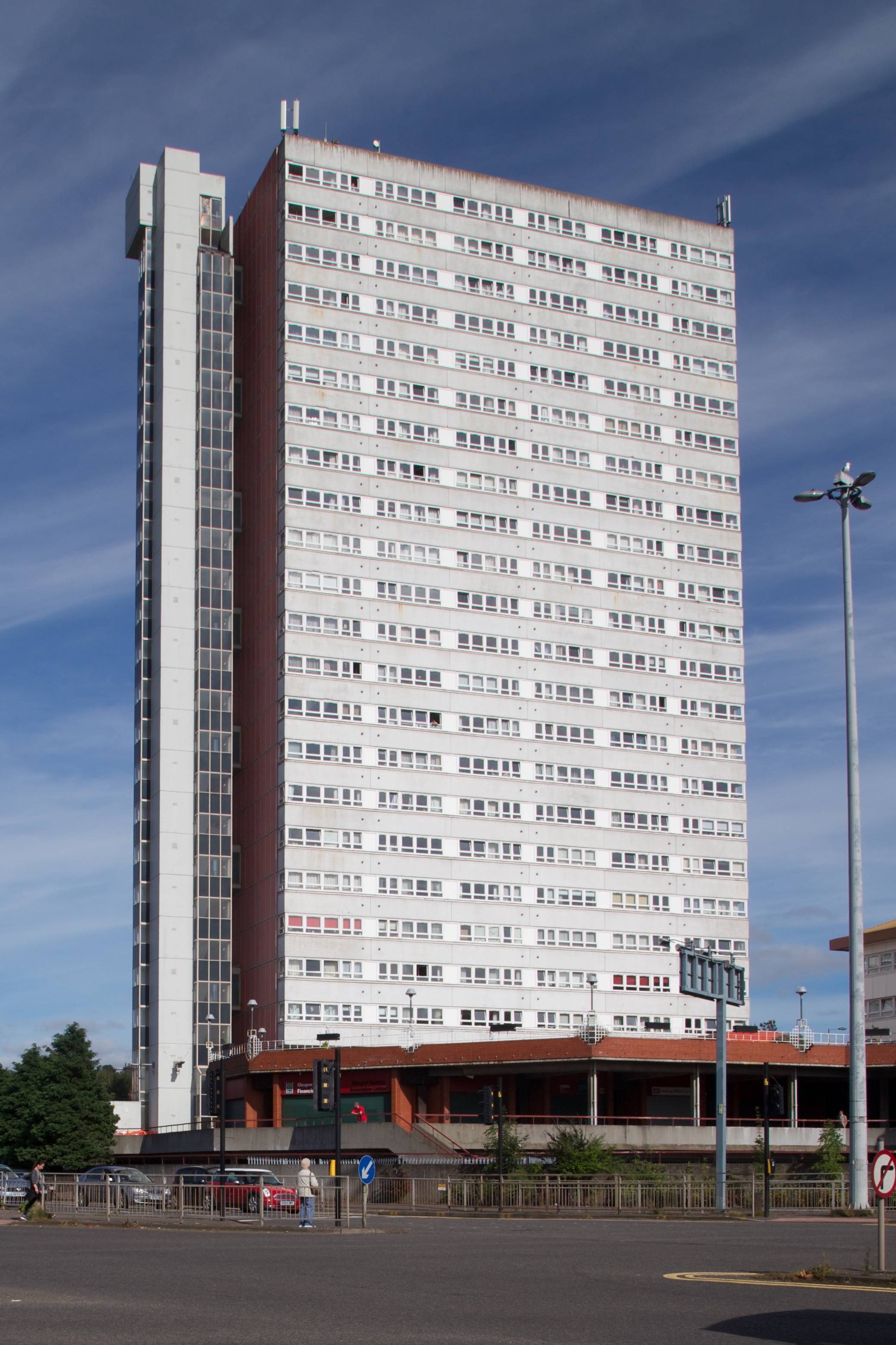
Anniesland Court
Anniesland Court is a 22-storey residential tower block in the Anniesland area of Glasgow, Scotland, designed by J Holmes & Partners and completed in 1968...

New Anniesland
New Anniesland is a sports ground in the Anniesland area of Glasgow, Scotland, used for rugby union and cricket. Owned by The Glasgow Academical Club,...

Old Anniesland
Old Anniesland is a rugby union ground in Glasgow, Scotland, with a capacity of approximately 3,500.. It is the home of Glasgow Hawks, who currently play...

Temple, Glasgow
Temple is a neighbourhood of Glasgow located in the north of the city, bounded by Anniesland to the south, Knightswood to the west and Kelvindale to the...

High School of Glasgow
The High School of Glasgow is a private, co-educational day school in Glasgow, Scotland. The original High School of Glasgow was founded as the choir school...
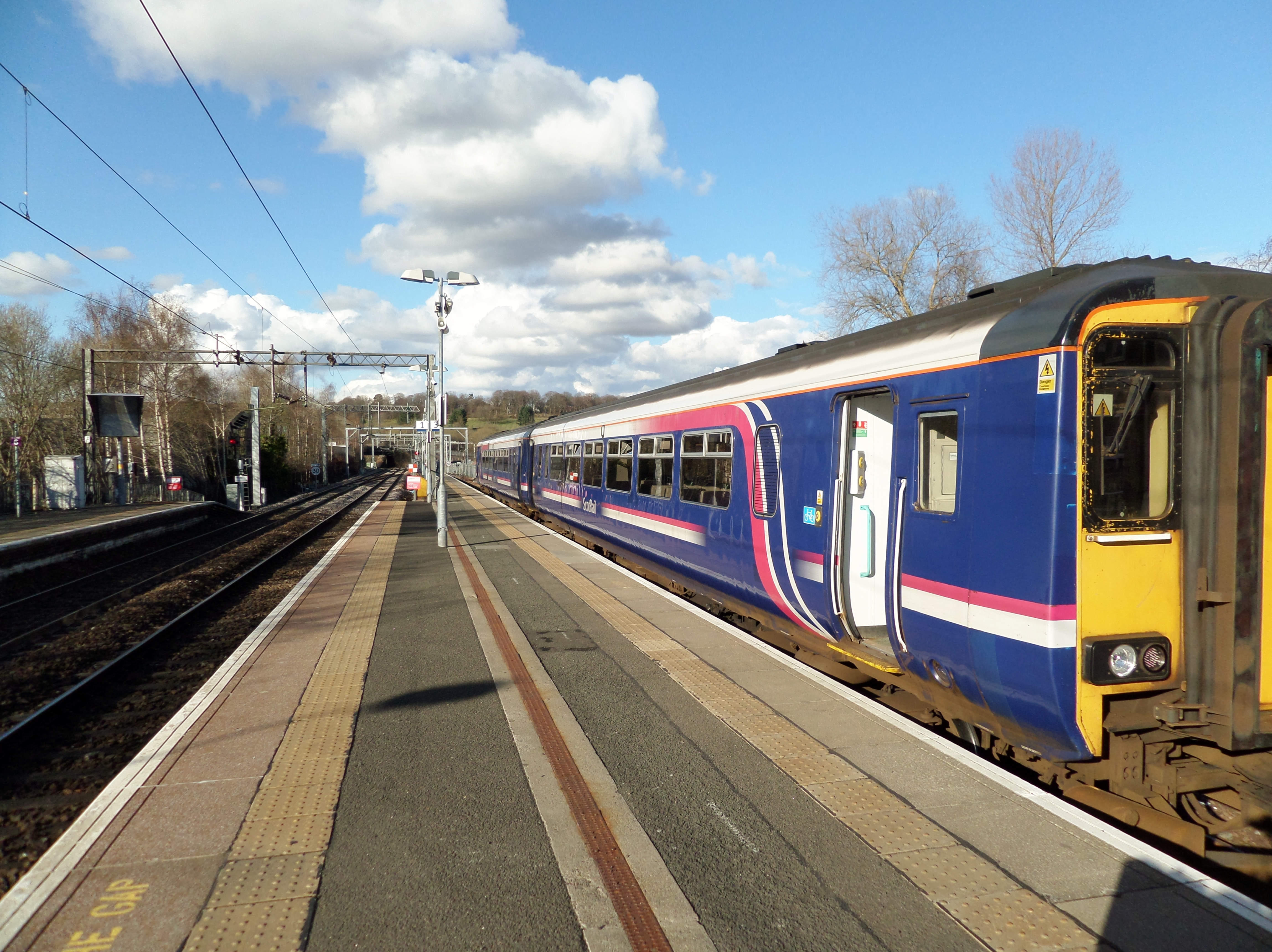
Anniesland railway station
Anniesland railway station is a railway station that serves the Anniesland suburb of Glasgow, Scotland. The station is served by ScotRail as part of the...

Jordanhill Parish Church, Glasgow
Jordanhill Parish Church is a parish church of the Church of Scotland, serving Jordanhill in the west end of Glasgow, Scotland. It is within the Church...
Nearby Amenities
Located within 500m of 55.890046,-4.3278678Have you been to Anniesland?
Leave your review of Anniesland below (or comments, questions and feedback).