Addlehole Copse

Wood, Forest in Devon East Devon

England

Addlehole Copse

Gated Entrance to a Farm The driveway and gated entrance to High WillYards Farm 0n the country road between Whimple and Broadclyst in Devon.
Gated Entrance to a Farm Credit: John P Reeves

Addlehole Copse is a picturesque woodland located in the county of Devon, England. Situated in the heart of the countryside, it covers an area of approximately 10 acres and is characterized by its dense collection of trees and diverse wildlife.

The copse is predominantly made up of traditional British woodland species, such as oak, ash, and beech trees. These majestic trees create a canopy, allowing only dappled sunlight to filter through to the forest floor below. This creates a serene and tranquil atmosphere, making Addlehole Copse a popular destination for nature enthusiasts and walkers alike.

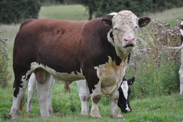
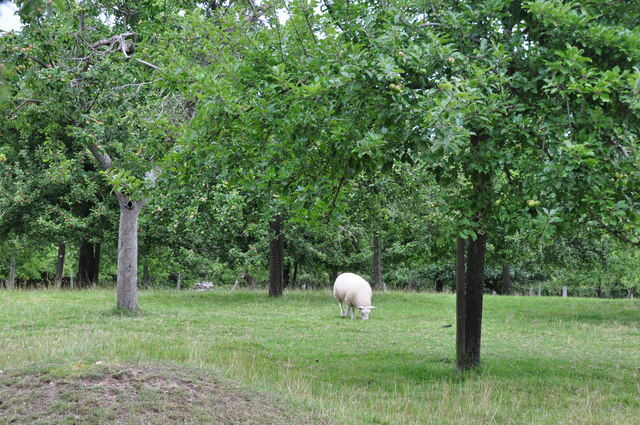
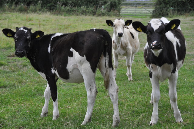
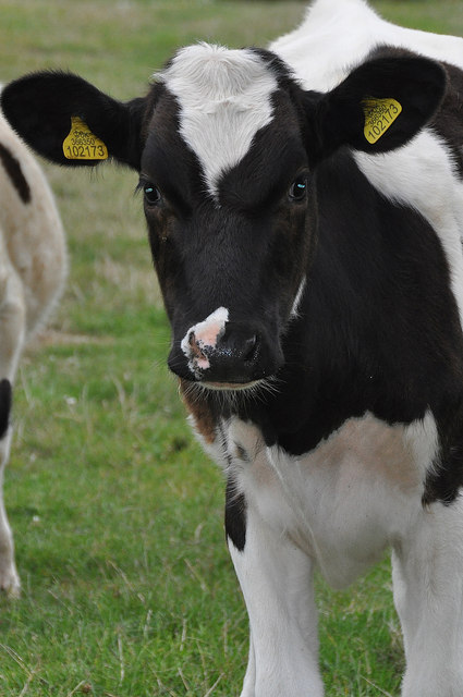
The woodland is home to a wide variety of wildlife, with many species finding sanctuary within its boundaries. Visitors may spot small mammals like squirrels, voles, and hedgehogs scurrying among the fallen leaves. Birdwatchers can catch a glimpse of various species, including woodpeckers, owls, and finches, as they make their homes among the branches.

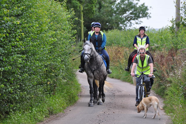
The copse is crisscrossed by a network of walking trails, allowing visitors to explore its beauty at their own pace. These paths meander through the trees, passing by babbling brooks and hidden clearings. The sounds of nature fill the air, with the rustling of leaves, birdcalls, and the gentle flow of water providing a soothing backdrop to the woodland experience.

Addlehole Copse offers a peaceful retreat from the hustle and bustle of everyday life, providing a haven for both nature lovers and those seeking solace in the great outdoors. Whether it's a leisurely stroll, birdwatching, or simply enjoying the tranquility of the woodland, this enchanting forest is a gem within the Devon countryside.

If you have any feedback on the listing, please let us know in the comments section below.

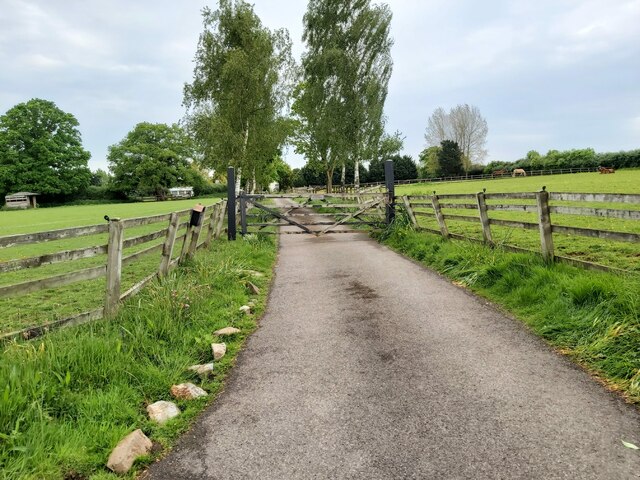
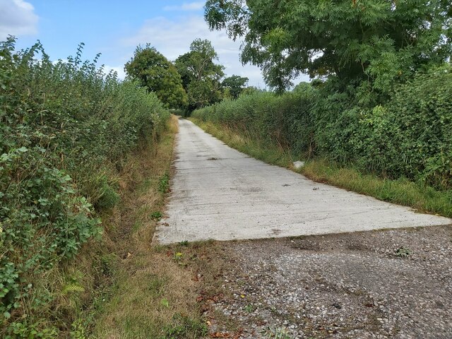
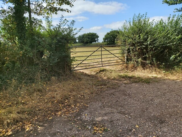
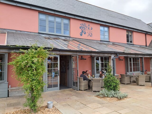
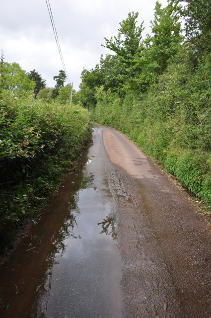
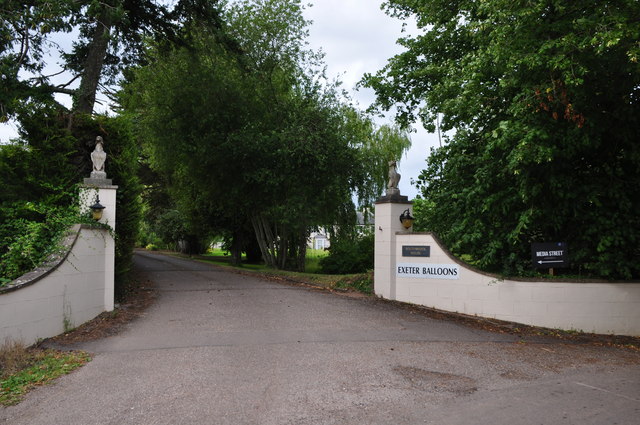
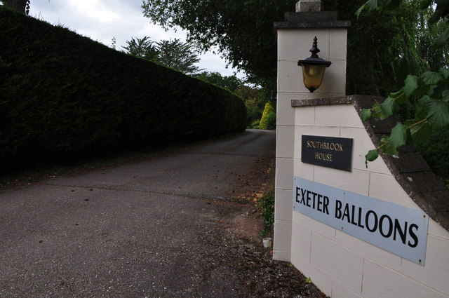
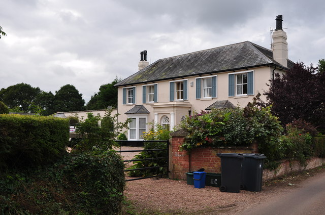
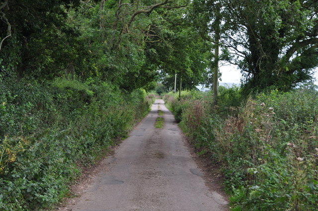
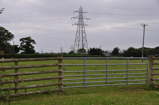
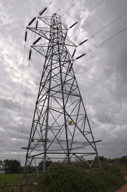
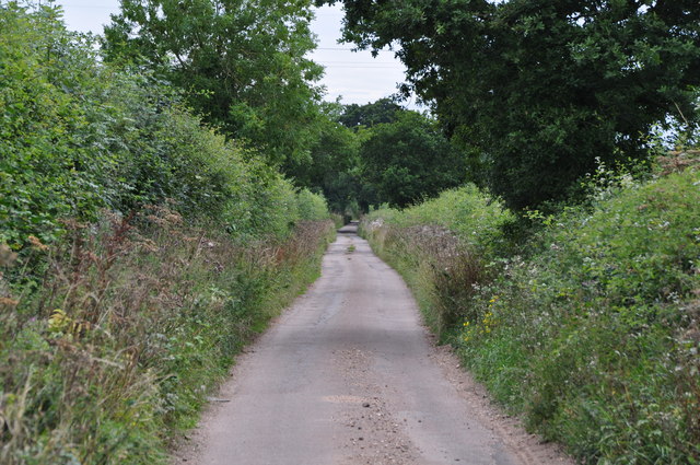
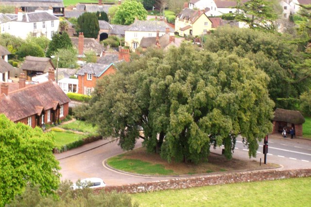
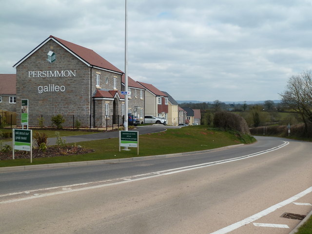
Addlehole Copse Images

Images are sourced within 2km of 50.766158/-3.4028077 or Grid Reference SY0197. Thanks to Geograph Open Source API. All images are credited.

Gated Entrance to a Farm The driveway and gated entrance to High WillYards Farm 0n the country road between Whimple and Broadclyst in Devon.
Gated Entrance to a Farm
The driveway and gated entrance to High WillYards Farm 0n the country road between Whimple and Broadclyst in Devon.
Entrance to a Farm The road entrance to Trow Farm on the minor road between Broad Clyst and Whimple in East Devon.
Entrance to a Farm
The road entrance to Trow Farm on the minor road between Broad Clyst and Whimple in East Devon.
Metal Gate to a Field A metal gate to a cow field on South Brook Lane between Tub Corner and Oak Lodge north of the village of Rockbeare in East Devon.
Metal Gate to a Field
A metal gate to a cow field on South Brook Lane between Tub Corner and Oak Lodge north of the village of Rockbeare in East Devon.
Cranberry Farm Pub in Cranbrook A view of the entrance of the Cranberry Farm Pub and Restaurant in Cranbrook, Devon situated just north of Exeter Airport.
Cranberry Farm Pub in Cranbrook
A view of the entrance of the Cranberry Farm Pub and Restaurant in Cranbrook, Devon situated just north of Exeter Airport.
East Devon : Southbrook Lane A small country lane heading through East Devon.
East Devon : Southbrook Lane
A small country lane heading through East Devon.
East Devon : Southbrook House A driveway heads up to Southbrook House in East Devon.
East Devon : Southbrook House
A driveway heads up to Southbrook House in East Devon.
East Devon : Southbrook House A sign for Southbrook House and the home to Exeter Balloons.
East Devon : Southbrook House
A sign for Southbrook House and the home to Exeter Balloons.
East Devon : Southbrook House Southbrook House in the East Devon countryside.
East Devon : Southbrook House
Southbrook House in the East Devon countryside.
East Devon : A Bull A big bull in a grassy field.
East Devon : A Bull
A big bull in a grassy field.
East Devon : Southbrook Lane Looking along Southbrook Lane as it heads underneath the railway bridge.
East Devon : Southbrook Lane
Looking along Southbrook Lane as it heads underneath the railway bridge.
East Devon : Grassy Field & Sheep A grassy field, trees and a sheep.
East Devon : Grassy Field & Sheep
A grassy field, trees and a sheep.
East Devon : Saundercroft Road Looking along Saundercroft Road with some people enjoying a horse ride.
East Devon : Saundercroft Road
Looking along Saundercroft Road with some people enjoying a horse ride.
East Devon : Saundercroft Road Looking along Saundercroft Road as it heads through the countryside.
East Devon : Saundercroft Road
Looking along Saundercroft Road as it heads through the countryside.
East Devon : Grassy Field & Gate A gate providing entry into a grassy field.
East Devon : Grassy Field & Gate
A gate providing entry into a grassy field.
East Devon : Electricity Pylon An electricity pylon carries power through the countryside.
East Devon : Electricity Pylon
An electricity pylon carries power through the countryside.
East Devon : Saundercroft Road A small road heading through the East Devon countryside.
East Devon : Saundercroft Road
A small road heading through the East Devon countryside.
East Devon : Grassy Field & Cattle A grassy field with some cows grazing.
East Devon : Grassy Field & Cattle
A grassy field with some cows grazing.
East Devon : Grassy Field & Cattle A cow in a grassy field in the East Devon countryside.
East Devon : Grassy Field & Cattle
A cow in a grassy field in the East Devon countryside.
Show me another place!

Addlehole Copse is located at Grid Ref: SY0197 (Lat: 50.766158, Lng: -3.4028077)

Administrative County: Devon

District: East Devon

Police Authority: Devon and Cornwall

What 3 Words

///format.motion.novelists. Near Whimple, Devon

Related Wikis

Broadclyst

Broadclyst is a village and civil parish in the East Devon local government district. It lies approximately 5 miles northeast of the city of Exeter, Devon...

Cranbrook railway station (Devon)

Cranbrook railway station serves the new town of Cranbrook near Exeter in Devon, England. The station is on the West of England Main Line between Whimple...

Cranbrook, Devon

Cranbrook is a new town being developed in East Devon, England, which at the 2021 census, had a population of 6,743 residents across 8 "phases". However...

Rockbeare

Rockbeare is a village and civil parish in the East Devon district of the county of Devon, England, located near Exeter Airport and the city of Exeter...

Clyst Vale Community College

Clyst Vale Community College is a school in Broadclyst, East Devon near Exeter in England, UK. Since April 2011 it has been an academy. The school is a...

Broad Clyst railway station

Broad Clyst railway station is a disused railway station on the West of England Main Line which served the nearby village of Broadclyst from 1860 until...

Whimple

Whimple is a village and civil parish in East Devon in the English county of Devon, approximately 9 miles (14 km) due east of the city of Exeter, and 3...

Clyst St Lawrence

Clyst St Lawrence is a village and civil parish about 8 miles north-east of the city of Exeter in the county of Devon, England. Historically it formed...

Nearby Amenities

Located within 500m of 50.766158,-3.4028077
Colour: gray
Design: barrel
Line Attachment: suspension
Material: metal
Power: tower
Ref: 4YF307
Structure: lattice
Lat/Long: 50.7686558/-3.4074811
Branch Type: split
Colour: gray
Line Attachment: suspension
Material: metal
Power: tower
Ref: 4YF308
Structure: lattice
Lat/Long: 50.7684933/-3.4059159
Branch Type: split
Colour: gray
Line Attachment: suspension
Material: metal
Power: tower
Ref: 4YA002
Structure: lattice
Lat/Long: 50.768297/-3.4034869
Colour: gray
Design: barrel
Line Attachment: anchor
Material: metal
Power: tower
Ref: 4YA003
Structure: lattice
Lat/Long: 50.7691598/-3.402113
Design: barrel
Power: tower
Lat/Long: 50.7639404/-3.4083338
Design: barrel
Power: tower
Lat/Long: 50.764185/-3.4085476
Design: barrel
Power: tower
Lat/Long: 50.7635596/-3.4053466
Design: barrel
Power: tower
Lat/Long: 50.7661586/-3.4073216
Design: barrel
Power: tower
Lat/Long: 50.7661302/-3.4068266
Branch Type: split
Colour: gray
Design: three-level
Line Attachment: anchor
Material: metal
Operator: National Grid
Operator Wikidata: Q1465461
Power: tower
Ref: ZZ193
Structure: lattice
Lat/Long: 50.7699442/-3.4020847
Colour: gray
Design: barrel
Line Attachment: suspension
Material: metal
Operator: National Grid
Operator Wikidata: Q1465461
Power: tower
Structure: lattice
Lat/Long: 50.7648072/-3.4041423
Colour: gray
Design: barrel
Line Attachment: suspension
Material: metal
Operator: National Grid
Operator Wikidata: Q1465461
Power: tower
Structure: lattice
Lat/Long: 50.763198/-3.4009625
Colour: gray
Design: barrel
Line Attachment: suspension
Material: metal
Operator: National Grid
Operator Wikidata: Q1465461
Power: tower
Structure: lattice
Lat/Long: 50.7635383/-3.4047147
Design: barrel
Power: tower
Lat/Long: 50.7660084/-3.4056484
Design: barrel
Power: tower
Lat/Long: 50.7659919/-3.4051407
Design: barrel
Power: tower
Lat/Long: 50.7659672/-3.4048674
Colour: gray
Design: barrel
Line Attachment: suspension
Material: metal
Operator: National Grid
Operator Wikidata: Q1465461
Power: tower
Structure: lattice
Lat/Long: 50.7637284/-3.3986555
Colour: gray
Design: barrel
Line Attachment: suspension
Material: metal
Operator: National Grid
Operator Wikidata: Q1465461
Power: tower
Structure: lattice
Lat/Long: 50.7646072/-3.4024248
Colour: gray
Line Attachment: suspension
Material: metal
Power: tower
Ref: ZZ193
Structure: lattice
Lat/Long: 50.7683645/-3.4044592
Colour: gray
Line Attachment: suspension
Material: metal
Power: tower
Ref: ZZ194
Structure: lattice
Lat/Long: 50.7685515/-3.4054132
Design: barrel
Power: tower
Lat/Long: 50.7661009/-3.4065505
Noexit: yes
Lat/Long: 50.7661704/-3.4064322
Design: barrel
Location Transition: yes
Power: tower
Lat/Long: 50.7659916/-3.4051473
Power: transformer
Voltage-high: 400000
Voltage-low: 132000
Lat/Long: 50.7669449/-3.4049838
Power: transformer
Voltage-high: 400000
Voltage-low: 132000
Lat/Long: 50.7668449/-3.403782
Power: transformer
Voltage-high: 400000
Voltage-low: medium
Lat/Long: 50.7681868/-3.4070731
Power: transformer
Voltage-high: 400000
Voltage-low: 132000
Lat/Long: 50.7670322/-3.4061598
Power: transition
Lat/Long: 50.7667651/-3.4031009
Power: transformer
Voltage-high: 400000
Voltage-low: medium
Lat/Long: 50.7671264/-3.4073199
Power: transition
Lat/Long: 50.7670705/-3.406635
Brand: National Grid
Brand Wikidata: Q1465461
Material: wood
Operator: National Grid Electricity Distribution Plc
Operator Old: Western Power Distribution
Operator Wikidata: Q7988183
Owner: National Grid Electricity Distribution (South West) Plc
Owner Wikidata: Q114397866
Power: pole
Lat/Long: 50.7695093/-3.406729
Brand: National Grid
Brand Wikidata: Q1465461
Material: wood
Operator: National Grid Electricity Distribution Plc
Operator Old: Western Power Distribution
Operator Wikidata: Q7988183
Owner: National Grid Electricity Distribution (South West) Plc
Owner Wikidata: Q114397866
Power: pole
Lat/Long: 50.7692302/-3.4078939
Access: private
Barrier: cattle_grid
Lat/Long: 50.7701953/-3.403364
Barrier: cattle_grid
Lat/Long: 50.7691298/-3.4035623
Location: outdoor
Operator: MS Power Projects Ltd.
Power: transformer
Transformer: generator
Lat/Long: 50.762173/-3.4018397
Brand: National Grid
Brand Wikidata: Q1465461
Design: h-frame
Devices: 1
Frequency: 50
Guyed: yes
Location Transition: yes
Material: wood
Operator: National Grid Electricity Distribution Plc
Operator Old: Western Power Distribution
Operator Wikidata: Q7988183
Owner: National Grid Electricity Distribution (South West) Plc
Owner Wikidata: Q114397866
Phases: 3
Power: pole
Transformer: distribution
Lat/Long: 50.7631558/-3.3981054
Access: private
Door: overhead
Entrance: yes
Motorcar: private
Lat/Long: 50.765023/-3.3989781
Access: private
Door: hinged
Entrance: main
Motorcar: no
Lat/Long: 50.7702295/-3.4045189
Access: private
Door: overhead
Entrance: yes
Motorcar: private
Lat/Long: 50.7702091/-3.4046446
Brand: National Grid
Brand Wikidata: Q1465461
Material: wood
Note: This seems to come out of the substation but I can't see from where from the road or on any allowable source.
Operator: National Grid Electricity Distribution Plc
Operator Old: Western Power Distribution
Operator Wikidata: Q7988183
Owner: National Grid Electricity Distribution (South West) Plc
Owner Wikidata: Q114397866
Power: pole
Lat/Long: 50.7696201/-3.4044608
Direction: backward
Maxspeed: 10 mph
Source Maxspeed: sign
Traffic Sign: maxspeed
Lat/Long: 50.7701982/-3.4033637
Brand: National Grid
Brand Wikidata: Q1465461
Layer: 1
Operator: National Grid Electricity Distribution Plc
Operator Old: Western Power Distribution
Operator Wikidata: Q7988183
Owner: National Grid Electricity Distribution (South West) Plc
Owner Wikidata: Q114397866
Power: terminal
Lat/Long: 50.770099/-3.405776
Brand: National Grid
Brand Wikidata: Q1465461
Guyed: yes
Line Management: branch
Material: wood
Operator: National Grid Electricity Distribution Plc
Operator Old: Western Power Distribution
Operator Wikidata: Q7988183
Owner: National Grid Electricity Distribution (South West) Plc
Owner Wikidata: Q114397866
Power: pole
Lat/Long: 50.7701604/-3.4053849
Brand: National Grid
Brand Wikidata: Q1465461
Guyed: yes
Material: wood
Operator: National Grid Electricity Distribution Plc
Operator Old: Western Power Distribution
Operator Wikidata: Q7988183
Owner: National Grid Electricity Distribution (South West) Plc
Owner Wikidata: Q114397866
Power: pole
Lat/Long: 50.770263/-3.4049825
Brand: National Grid
Brand Wikidata: Q1465461
Guyed: yes
Material: wood
Operator: National Grid Electricity Distribution Plc
Operator Old: Western Power Distribution
Operator Wikidata: Q7988183
Owner: National Grid Electricity Distribution (South West) Plc
Owner Wikidata: Q114397866
Power: pole
Lat/Long: 50.7700077/-3.4047385
Brand: National Grid
Brand Wikidata: Q1465461
Devices: 1
Frequency: 50
Guyed: yes
Material: wood
Operator: National Grid Electricity Distribution Plc
Operator Old: Western Power Distribution
Operator Wikidata: Q7988183
Owner: National Grid Electricity Distribution (South West) Plc
Owner Wikidata: Q114397866
Phases: 1
Power: pole
Transformer: distribution
Lat/Long: 50.7700476/-3.4042557
Access: private
Agricultural: private
Bicycle: no
Door: sliding
Entrance: yes
Foot: private
Horse: private
Vehicle: agricultural
Lat/Long: 50.7653458/-3.3990053
Access: private
Agricultural: private
Bicycle: no
Door: sliding
Entrance: yes
Foot: private
Horse: private
Vehicle: agricultural
Lat/Long: 50.7654814/-3.3992769
Watering Place
Access: private
Lat/Long: 50.7657985/-3.3973942
Brand: National Grid
Brand Wikidata: Q1465461
Material: wood
Operator: National Grid Electricity Distribution Plc
Operator Old: Western Power Distribution
Operator Wikidata: Q7988183
Owner: National Grid Electricity Distribution (South West) Plc
Owner Wikidata: Q114397866
Power: pole
Lat/Long: 50.7633581/-3.3981724
Brand: National Grid
Brand Wikidata: Q1465461
Material: wood
Operator: National Grid Electricity Distribution Plc
Operator Old: Western Power Distribution
Operator Wikidata: Q7988183
Owner: National Grid Electricity Distribution (South West) Plc
Owner Wikidata: Q114397866
Power: pole
Lat/Long: 50.7637958/-3.3983461
Brand: National Grid
Brand Wikidata: Q1465461
Material: wood
Operator: National Grid Electricity Distribution Plc
Operator Old: Western Power Distribution
Operator Wikidata: Q7988183
Owner: National Grid Electricity Distribution (South West) Plc
Owner Wikidata: Q114397866
Power: pole
Lat/Long: 50.7648336/-3.3984654
Brand: National Grid
Brand Wikidata: Q1465461
Material: wood
Operator: National Grid Electricity Distribution Plc
Operator Old: Western Power Distribution
Operator Wikidata: Q7988183
Owner: National Grid Electricity Distribution (South West) Plc
Owner Wikidata: Q114397866
Power: pole
Lat/Long: 50.7645435/-3.3983058
Ford: yes
Lat/Long: 50.767771/-3.4012274
Brand: National Grid
Brand Wikidata: Q1465461
Material: wood
Operator: National Grid Electricity Distribution Plc
Operator Old: Western Power Distribution
Operator Wikidata: Q7988183
Owner: National Grid Electricity Distribution (South West) Plc
Owner Wikidata: Q114397866
Power: pole
Lat/Long: 50.7641767/-3.3983387
Power: pole
Lat/Long: 50.7697575/-3.4056303
The data included in this document is from www.openstreetmap.org. The data is made available under ODbL.

Have you been to Addlehole Copse?

Leave your review of Addlehole Copse below (or comments, questions and feedback).