Vinnicombe's Covert
Wood, Forest in Devon East Devon
England
Vinnicombe's Covert

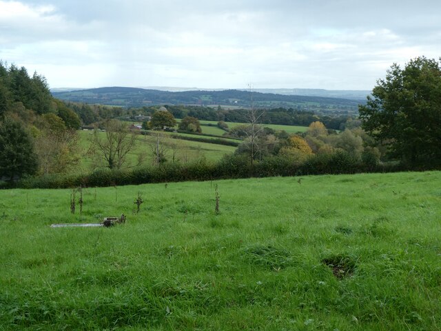
Vinnicombe's Covert is a picturesque woodland located in the county of Devon, England. Situated in the heart of the county, this enchanting forest covers an area of approximately 100 acres, making it a favorite destination for nature lovers and outdoor enthusiasts alike.
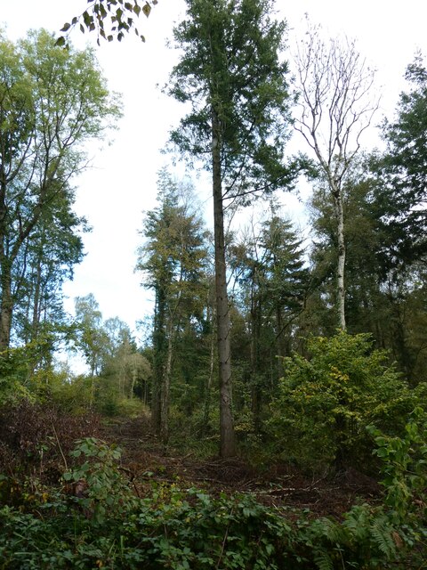
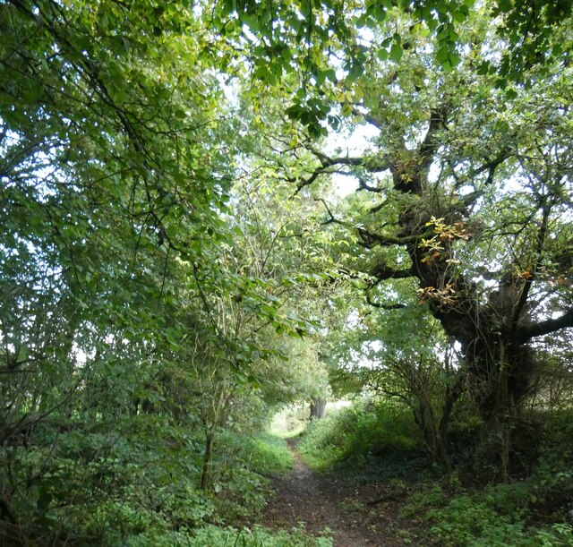
The woodland is characterized by its diverse range of trees, with oak, beech, and birch dominating the landscape. The dense canopy created by these towering trees provides a cool and inviting atmosphere, especially during the hot summer months. The forest floor is covered in a thick carpet of moss and ferns, creating a serene and peaceful environment for visitors to explore.
Vinnicombe's Covert is home to a variety of wildlife, including deer, foxes, and numerous bird species. It serves as an important habitat for these creatures, offering plenty of food and shelter. Birdwatchers flock to the area to catch a glimpse of rare and migratory species that make their home in the forest.
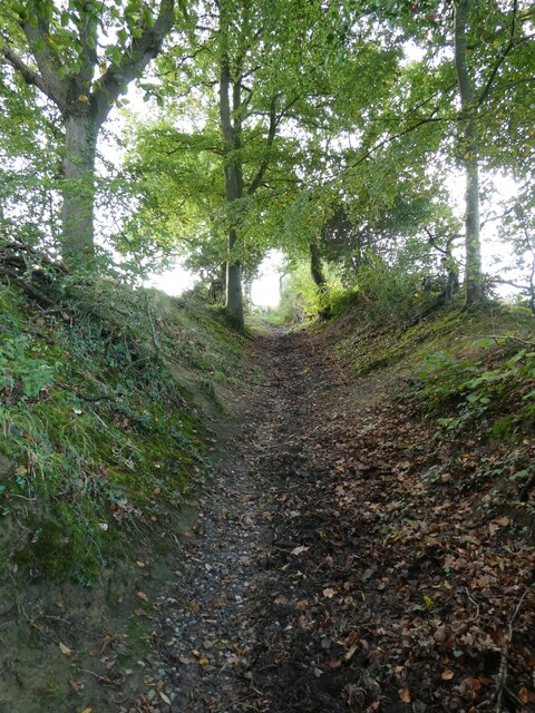
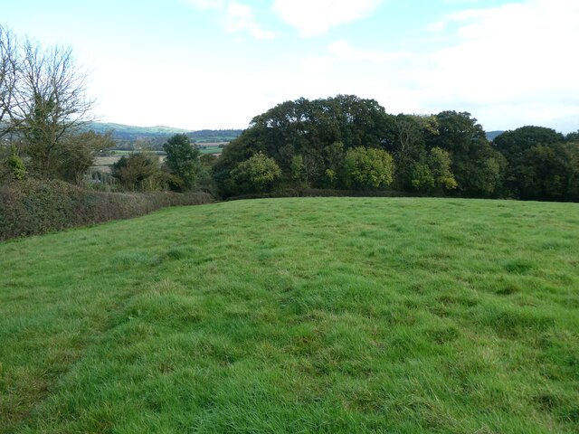
The woodland is crisscrossed by a network of well-maintained trails, allowing visitors to navigate through the forest with ease. These paths cater to all levels of fitness and provide opportunities for both leisurely strolls and more challenging hikes. Along the way, visitors are treated to breathtaking views of the surrounding countryside, with glimpses of rolling hills and distant valleys.
Vinnicombe's Covert is a place where one can escape the hustle and bustle of everyday life and immerse themselves in the beauty of nature. It offers a tranquil retreat for those seeking solace and a chance to reconnect with the natural world.
If you have any feedback on the listing, please let us know in the comments section below.
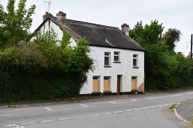
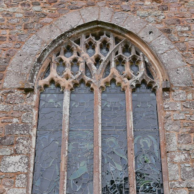
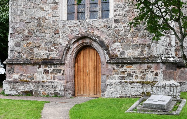
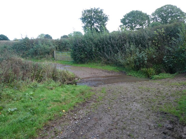
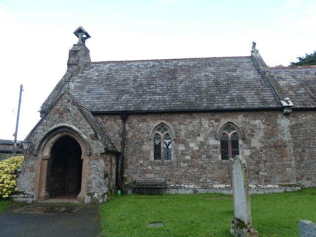
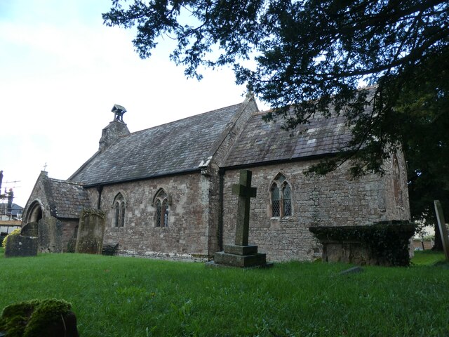
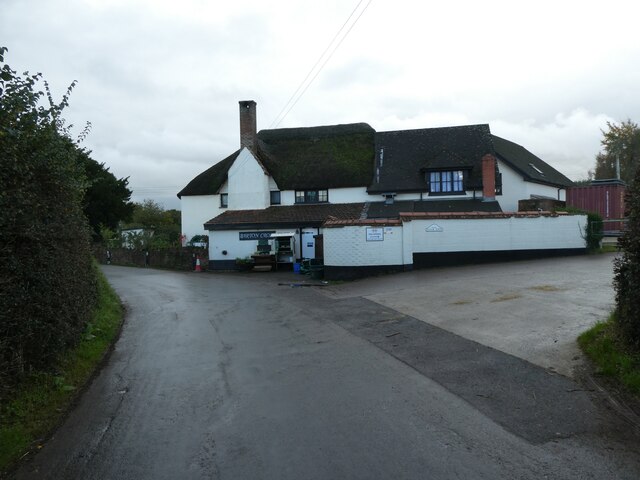
Vinnicombe's Covert Images
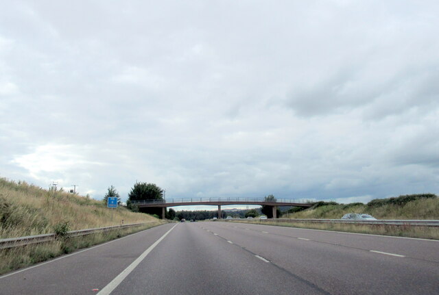
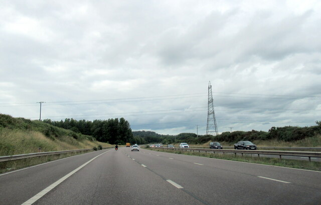
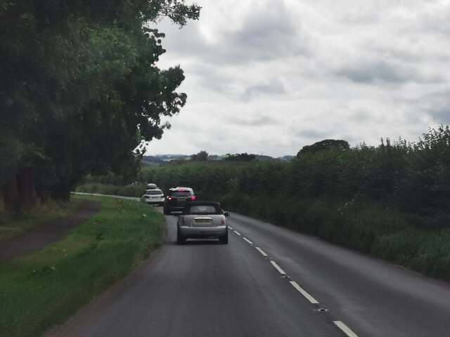
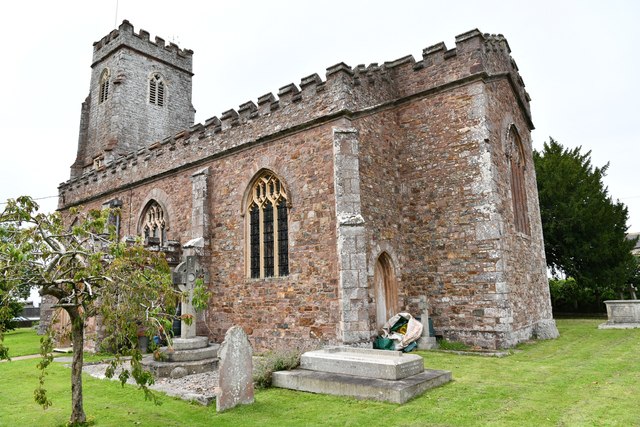
Images are sourced within 2km of 50.767299/-3.482127 or Grid Reference SX9597. Thanks to Geograph Open Source API. All images are credited.

Vinnicombe's Covert is located at Grid Ref: SX9597 (Lat: 50.767299, Lng: -3.482127)
Administrative County: Devon
District: East Devon
Police Authority: Devon and Cornwall
What 3 Words
///directors.insects.bulbs. Near Heavitree, Devon
Nearby Locations
Related Wikis

Huxham
Huxham is a hamlet and civil parish in the county of Devon, England and the district of East Devon and lies about 3 miles from Exeter. The parish has an...

Poltimore
Poltimore is a village, civil parish and former manor in the East Devon district, in the county of Devon, England. It lies approximately 5 miles (8.0 km...
Stoke Canon
Stoke Canon is a small village and civil parish near the confluence of the rivers Exe and Culm on the main A396 between Exeter and Tiverton in the English...

Poltimore House
Poltimore House is an 18th-century country house in Poltimore, Devon, England. The Manor of Poltimore was from the 13th to the 20th century the seat of...

Rewe, Devon
Rewe is a village and civil parish in the county of Devon in England. It lies on the river Culm, 5 miles (8 km) north of the city of Exeter and 9 miles...

River Culm
The River Culm flows through the Devon Redlands in Devon, England and is the longest tributary of the River Exe. It rises in the Blackdown Hills at a spring...

Battle of Pinhoe
The Battle of Pinhoe was a battle between the Danes and the men of Devon and Somerset at Pinhoe, Devon. == The battle == In 1001, Vikings laid siege to...

Clyst Vale Community College
Clyst Vale Community College is a school in Broadclyst, East Devon near Exeter in England, UK. Since April 2011 it has been an academy. The school is a...
Nearby Amenities
Located within 500m of 50.767299,-3.482127Have you been to Vinnicombe's Covert?
Leave your review of Vinnicombe's Covert below (or comments, questions and feedback).