Hallet's Plantation
Wood, Forest in Devon East Devon
England
Hallet's Plantation

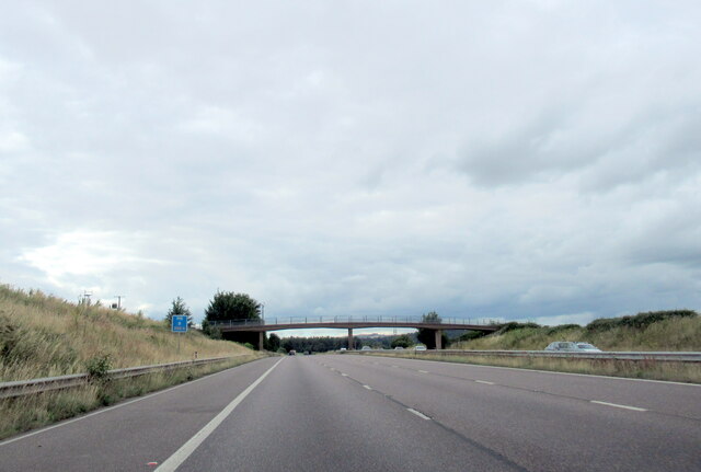
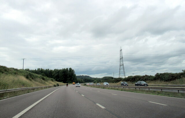
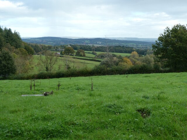
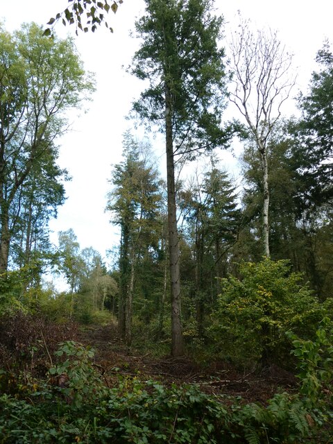
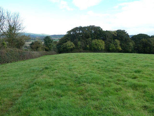
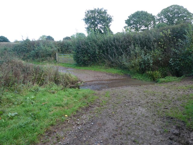
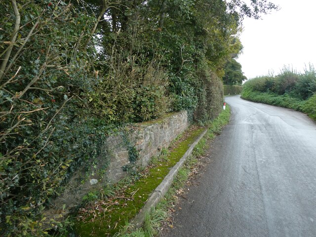
Hallet's Plantation, located in Devon, England, is a picturesque woodland area known for its natural beauty and diverse flora and fauna. Covering an expanse of approximately 200 acres, the plantation is nestled within the larger Haldon Forest Park, attracting nature enthusiasts, hikers, and wildlife lovers alike.
The woodland is predominantly composed of a mixture of broadleaf and coniferous trees, including oak, beech, and Douglas fir, creating a vibrant and enchanting atmosphere throughout the year. The canopy of the forest provides a haven for numerous bird species, such as woodpeckers, nightingales, and tawny owls, making it a popular spot for birdwatchers.
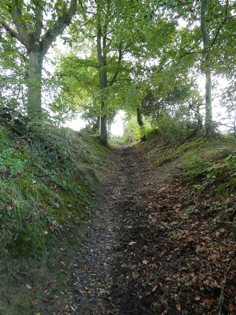
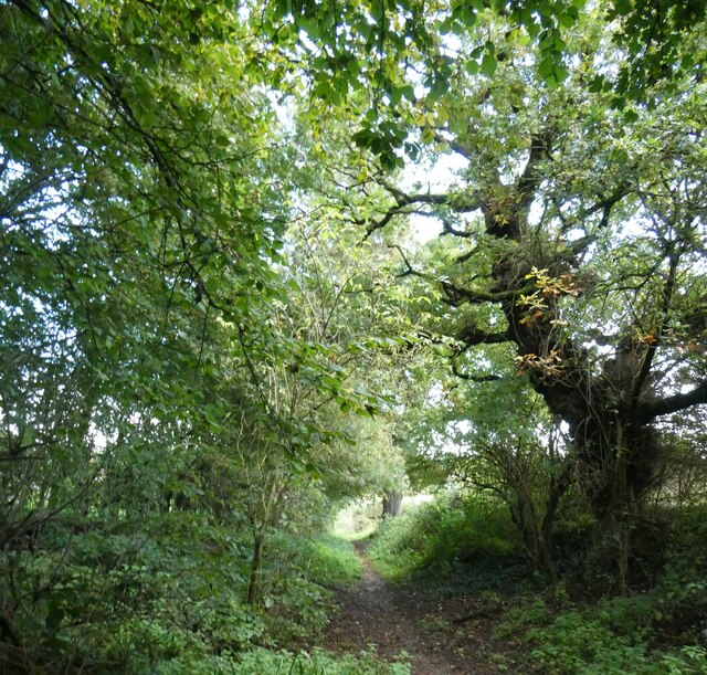
Hallet's Plantation is crisscrossed by a network of well-maintained trails and paths, allowing visitors to explore the area on foot, bike, or horseback. The trails cater to all levels of fitness and offer varying lengths and difficulties, ensuring there is something suitable for everyone. Along the way, visitors may come across tranquil ponds, babbling brooks, and breathtaking viewpoints, providing ample opportunities for peaceful reflection and stunning photography.
The plantation is managed by the Forestry Commission, which ensures the preservation of the woodland's natural beauty while also providing amenities for visitors. These include designated picnic areas, information boards, and even a café where visitors can refuel after their explorations.
Hallet's Plantation offers a unique opportunity to immerse oneself in the natural splendor of Devon's woodlands. With its diverse ecosystems, abundant wildlife, and well-maintained trails, it is a must-visit destination for nature enthusiasts and those seeking a peaceful retreat in the heart of the countryside.
If you have any feedback on the listing, please let us know in the comments section below.
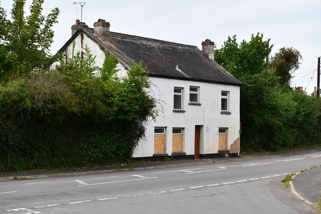
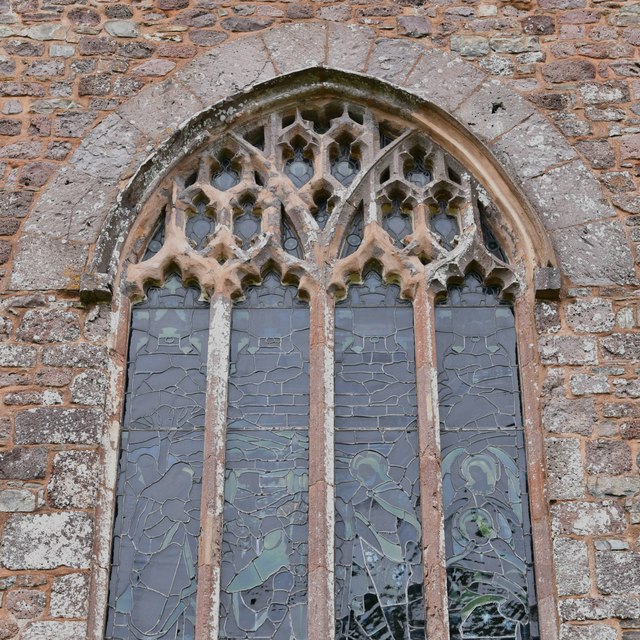
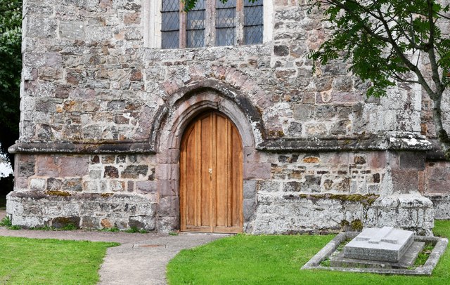
Hallet's Plantation Images
Images are sourced within 2km of 50.763732/-3.4854174 or Grid Reference SX9597. Thanks to Geograph Open Source API. All images are credited.
Hallet's Plantation is located at Grid Ref: SX9597 (Lat: 50.763732, Lng: -3.4854174)
Administrative County: Devon
District: East Devon
Police Authority: Devon and Cornwall
What 3 Words
///gearbox.speaking.custodian. Near Heavitree, Devon
Nearby Locations
Related Wikis

Huxham
Huxham is a hamlet and civil parish in the county of Devon, England and the district of East Devon and lies about 3 miles from Exeter. The parish has an...
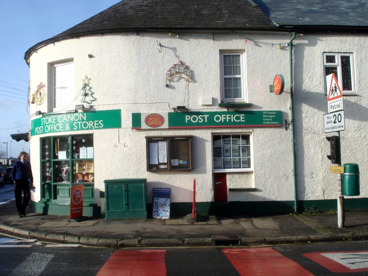
Stoke Canon
Stoke Canon is a small village and civil parish near the confluence of the rivers Exe and Culm on the main A396 between Exeter and Tiverton in the English...

Poltimore
Poltimore is a village, civil parish and former manor in the East Devon district, in the county of Devon, England. It lies approximately 5 miles (8.0 km...

Poltimore House
Poltimore House is an 18th-century country house in Poltimore, Devon, England. The Manor of Poltimore was from the 13th to the 20th century the seat of...

River Culm
The River Culm flows through the Devon Redlands in Devon, England and is the longest tributary of the River Exe. It rises in the Blackdown Hills at a spring...

Battle of Pinhoe
The Battle of Pinhoe was a battle between the Danes and the men of Devon and Somerset at Pinhoe, Devon. == The battle == In 1001, Vikings laid siege to...

Rewe, Devon
Rewe is a village and civil parish in the county of Devon in England. It lies on the river Culm, 5 miles (8 km) north of the city of Exeter and 9 miles...

Pinhoe
Pinhoe is a former village, manor and ecclesiastical parish, now a suburb on the north eastern outskirts of the City of Exeter in the English county of...
Nearby Amenities
Located within 500m of 50.763732,-3.4854174Have you been to Hallet's Plantation?
Leave your review of Hallet's Plantation below (or comments, questions and feedback).