Ratsloe

Settlement in Devon East Devon

England

Ratsloe

Poltimore Churchyard Cross The cross survives as a 15th century socket stone and shaft with a modern head and arms (Scale 1m) <span class="nowrap"><a title="https://historicengland.org.uk/listing/the-list/list-entry/1016219?section=official-list-entry" rel="nofollow ugc noopener" href="https://historicengland.org.uk/listing/the-list/list-entry/1016219?section=official-list-entry">Link</a><img style="margin-left:2px;" alt="External link" title="External link - shift click to open in new window" src="https://s1.geograph.org.uk/img/external.png" width="10" height="10"/></span>
Poltimore Churchyard Cross Credit: Sandy Gerrard

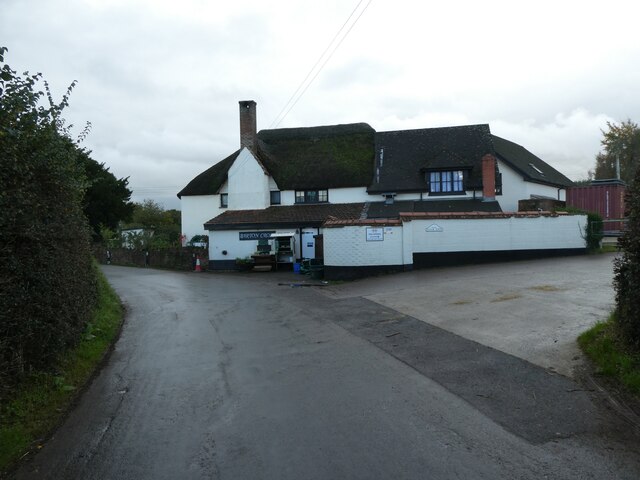
Ratsloe is a small village located in the county of Devon, in southwestern England. Situated about 10 miles northeast of the city of Exeter, Ratsloe is nestled amidst the picturesque countryside of the region. The village is known for its tranquil and idyllic setting, making it a popular destination for those seeking a peaceful retreat.

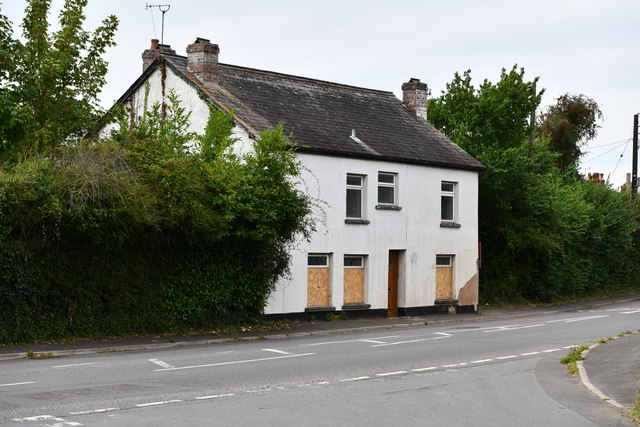
The history of Ratsloe dates back several centuries, with evidence of human habitation in the area since at least the medieval period. The village has managed to retain much of its traditional charm, with a collection of well-preserved historic buildings and quaint cottages lining its narrow streets.

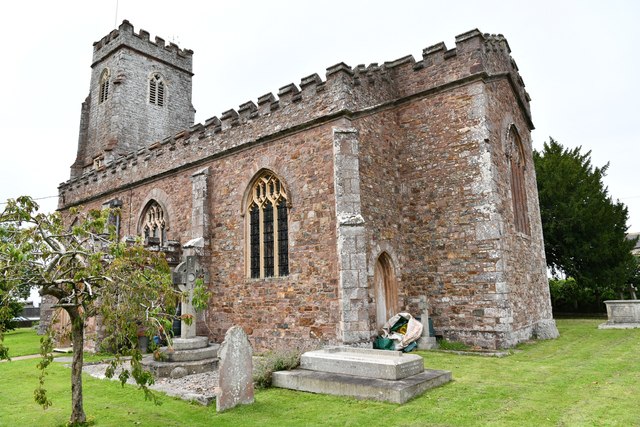
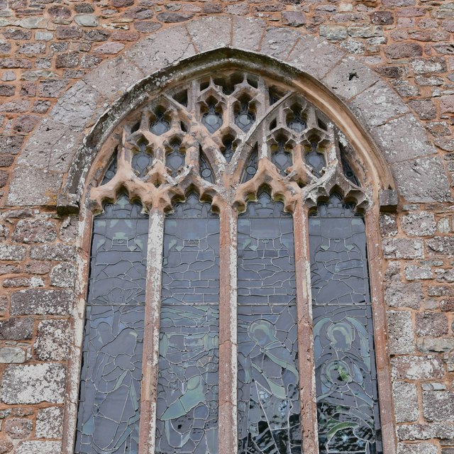
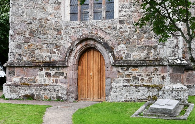
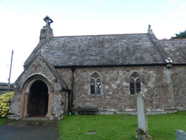
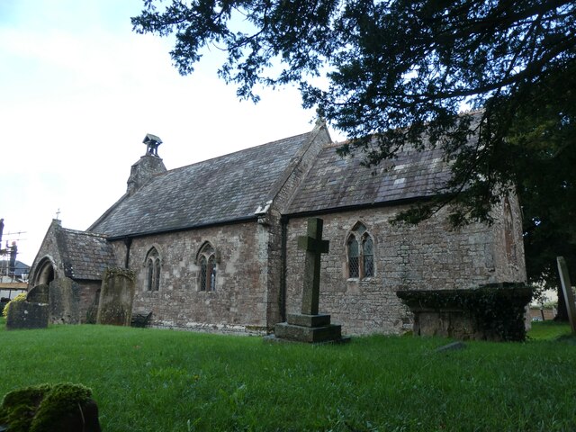
Despite its small size, Ratsloe boasts a strong sense of community, with a close-knit population that takes pride in its village. The local amenities include a village hall, a small primary school, and a charming parish church, which serves as a focal point for the community.

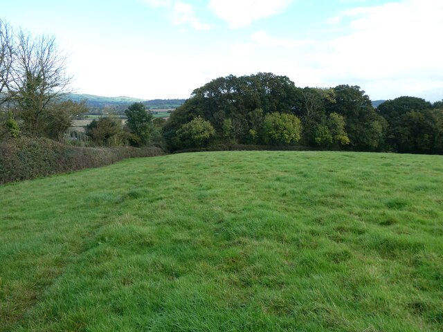
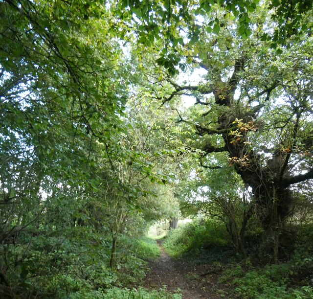
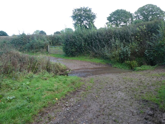
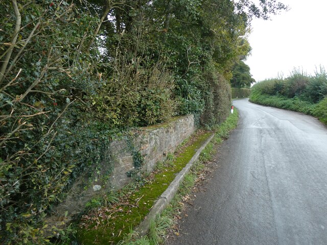
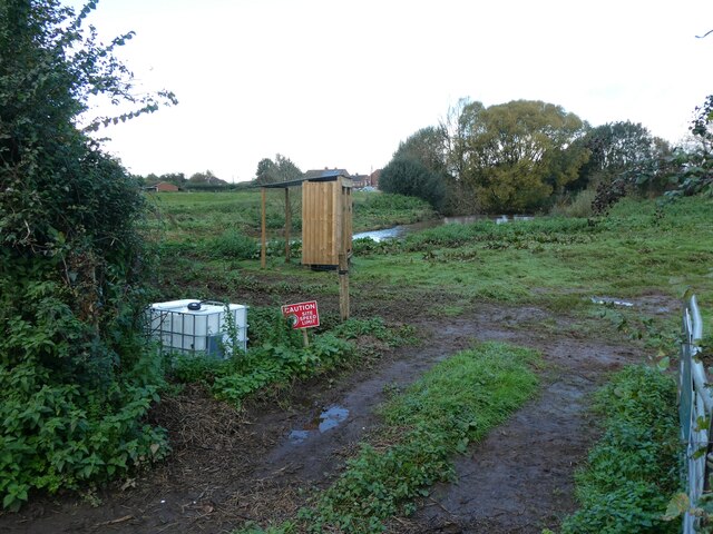
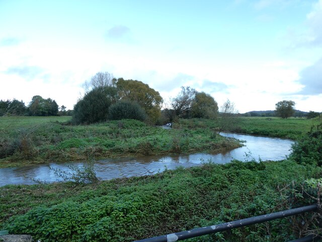
Nature lovers will find plenty to explore in the surrounding area, as Ratsloe is surrounded by rolling hills, meandering rivers, and lush green fields. The village is also within close proximity to Dartmoor National Park, offering opportunities for hiking, cycling, and other outdoor activities.

In summary, Ratsloe is a charming and peaceful village in Devon, offering a serene escape from the hustle and bustle of city life. With its rich history, beautiful surroundings, and strong community spirit, Ratsloe is a hidden gem waiting to be discovered.

If you have any feedback on the listing, please let us know in the comments section below.
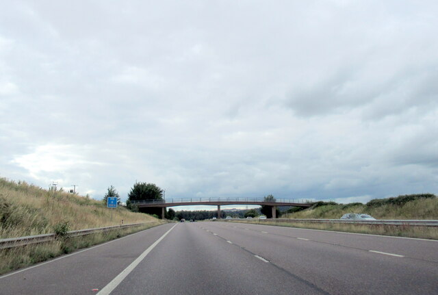
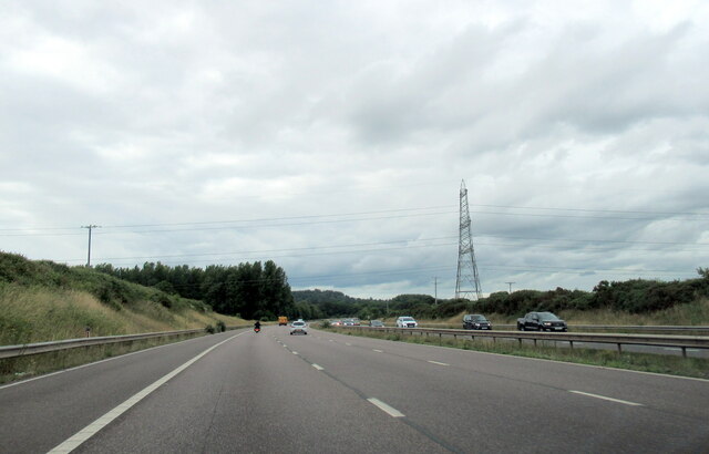
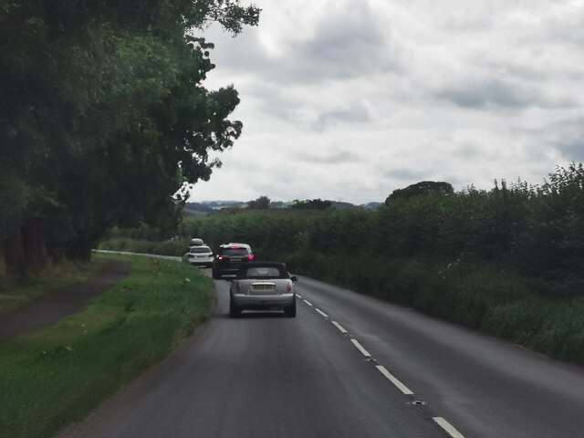
Ratsloe Images

Images are sourced within 2km of 50.769273/-3.477646 or Grid Reference SX9597. Thanks to Geograph Open Source API. All images are credited.

Poltimore Churchyard Cross The cross survives as a 15th century socket stone and shaft with a modern head and arms (Scale 1m) <span class="nowrap"><a title="https://historicengland.org.uk/listing/the-list/list-entry/1016219?section=official-list-entry" rel="nofollow ugc noopener" href="https://historicengland.org.uk/listing/the-list/list-entry/1016219?section=official-list-entry">Link</a><img style="margin-left:2px;" alt="External link" title="External link - shift click to open in new window" src="https://s1.geograph.org.uk/img/external.png" width="10" height="10"/></span>
Poltimore Churchyard Cross
The cross survives as a 15th century socket stone and shaft with a modern head and arms (Scale 1m) LinkExternal link
The M5 north at B 250.4 marker
The M5 north neat Broadclyst Moor
The M5 north at B 248.9 marker
Stoke Canon : A396 Looking along the A396.
Stoke Canon : A396
Looking along the A396.
Stoke Canon, St. Mary Magdalene's Church: South eastern aspect
Stoke Canon: 'Stoke Cottage'
Stoke Canon, St. Mary Magdalene's Church: Window detail
Stoke Canon, St. Mary Magdalene's Church: Tower entrance doorway
Grassland and a faint footpath south of Huxham
Sunken lane south of Huxham
Ford south of Huxham
South side of Huxham church
Huxham church and churchyard
Barton Cross, Huxham
Parapet of Huxham Bridge
Toilet block for a campsite, Huxham The site is described as a tipi site; on this day, it was extremely muddy
Toilet block for a campsite, Huxham
The site is described as a tipi site; on this day, it was extremely muddy
One branch of the River Culm, Stoke Canon
Show me another place!

Ratsloe is located at Grid Ref: SX9597 (Lat: 50.769273, Lng: -3.477646)

Administrative County: Devon

District: East Devon

Police Authority: Devon and Cornwall

What 3 Words

///deprives.loves.fuels. Near Silverton, Devon

Related Wikis

Poltimore

Poltimore is a village, civil parish and former manor in the East Devon district, in the county of Devon, England. It lies approximately 5 miles (8.0 km...

Huxham

Huxham is a hamlet and civil parish in the county of Devon, England and the district of East Devon and lies about 3 miles from Exeter. The parish has an...

Poltimore House

Poltimore House is an 18th-century country house in Poltimore, Devon, England. The Manor of Poltimore was from the 13th to the 20th century the seat of...
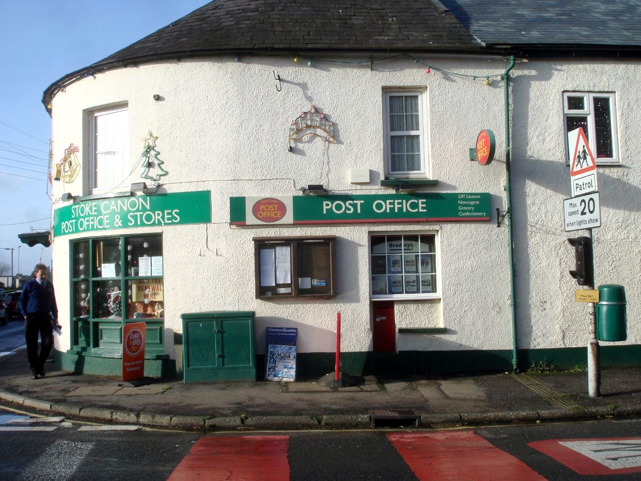
Stoke Canon

Stoke Canon is a small village and civil parish near the confluence of the rivers Exe and Culm on the main A396 between Exeter and Tiverton in the English...

Nearby Amenities

Located within 500m of 50.769273,-3.477646
Colour: gray
Design: barrel
Line Attachment: suspension
Material: metal
Power: tower
Ref: 4YF289
Structure: lattice
Lat/Long: 50.7714903/-3.4779394
Colour: gray
Design: barrel
Line Attachment: suspension
Material: metal
Power: tower
Ref: 4YF288
Structure: lattice
Lat/Long: 50.7718338/-3.4820603
Colour: gray
Design: barrel
Line Attachment: suspension
Material: metal
Power: tower
Ref: 4YF290
Structure: lattice
Lat/Long: 50.7711383/-3.473923
Ratsloe
Is In: Devon, England, UK
Place: hamlet
Lat/Long: 50.7692479/-3.4780974
Post Box
Lat/Long: 50.768819/-3.4789085
Brand: National Grid
Brand Wikidata: Q1465461
Guyed: yes
Material: wood
Operator: National Grid Electricity Distribution
Operator Old: Western Power Distribution
Operator Wikidata: Q7988183
Owner: National Grid Electricity Distribution (South West) Plc
Owner Wikidata: Q114397866
Power: pole
Lat/Long: 50.7734455/-3.4751463
Brand: National Grid
Brand Wikidata: Q1465461
Material: wood
Operator: National Grid Electricity Distribution
Operator Old: Western Power Distribution
Operator Wikidata: Q7988183
Owner: National Grid Electricity Distribution (South West) Plc
Owner Wikidata: Q114397866
Power: pole
Lat/Long: 50.7733976/-3.4769011
Brand: National Grid
Brand Wikidata: Q1465461
Material: wood
Operator: National Grid Electricity Distribution
Operator Old: Western Power Distribution
Operator Wikidata: Q7988183
Owner: National Grid Electricity Distribution (South West) Plc
Owner Wikidata: Q114397866
Power: pole
Lat/Long: 50.773357/-3.4783468
Brand: National Grid
Brand Wikidata: Q1465461
Material: wood
Operator: National Grid Electricity Distribution
Operator Old: Western Power Distribution
Operator Wikidata: Q7988183
Owner: National Grid Electricity Distribution (South West) Plc
Owner Wikidata: Q114397866
Power: pole
Lat/Long: 50.7733165/-3.4798626
Give Way
Direction: backward
Lat/Long: 50.7681527/-3.47174
The data included in this document is from www.openstreetmap.org. The data is made available under ODbL.

Have you been to Ratsloe?

Leave your review of Ratsloe below (or comments, questions and feedback).