Annesley
Settlement in Nottinghamshire Ashfield
England
Annesley

Annesley is a small village located in the Ashfield district of Nottinghamshire, England. Situated approximately 11 miles north-west of Nottingham, it is surrounded by scenic countryside and boasts a population of around 1,500 residents.
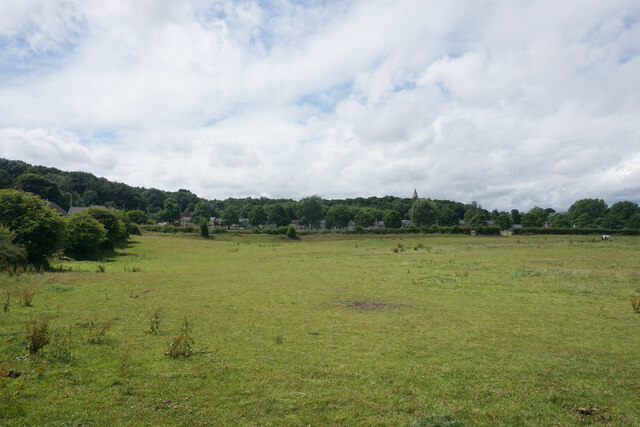
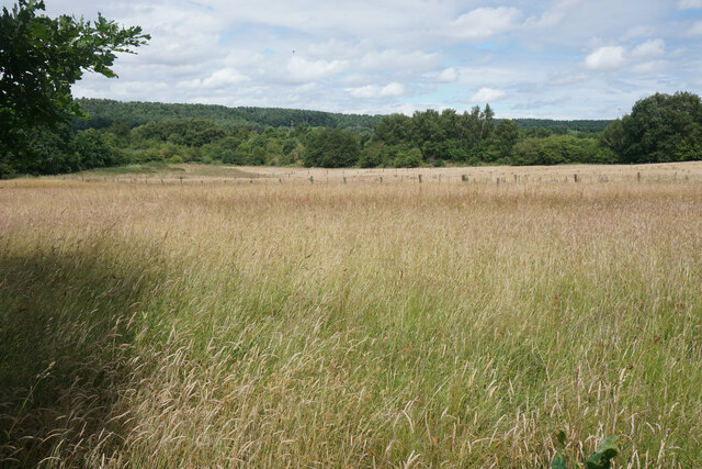
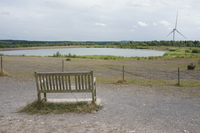
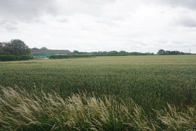
Historically, Annesley dates back to the Domesday Book of 1086. It has been predominantly known for its coal mining industry, with several collieries operating in the area until their closure in the 1980s. Many of the former mining sites have since been transformed into green spaces and nature reserves, such as Annesley and Felley Priory, providing recreational opportunities for locals and visitors alike.
The village is home to a mix of housing, ranging from traditional cottages to more modern developments. It features a local primary school, providing education for children in the area, as well as a number of shops and amenities to cater to the needs of its residents.
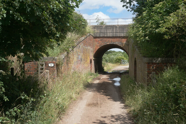
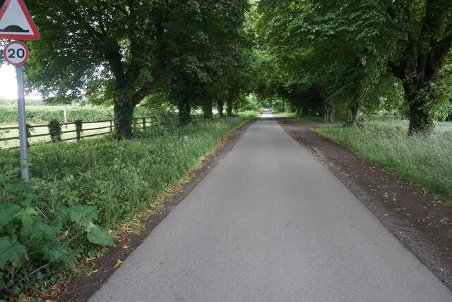
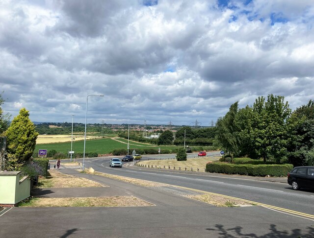
Annesley is well-connected to nearby towns and cities, with good transport links including the A611 road and regular bus services. The village also benefits from its proximity to the M1 motorway, making it an attractive location for commuters.
Despite its small size, Annesley offers a host of attractions for tourists and history enthusiasts. The nearby Newstead Abbey, once home to the poet Lord Byron, is a popular visitor destination, showcasing its stunning gardens and rich historical heritage.
Overall, Annesley presents a charming village setting, steeped in history and surrounded by picturesque landscapes, making it an appealing place to live or visit.
If you have any feedback on the listing, please let us know in the comments section below.
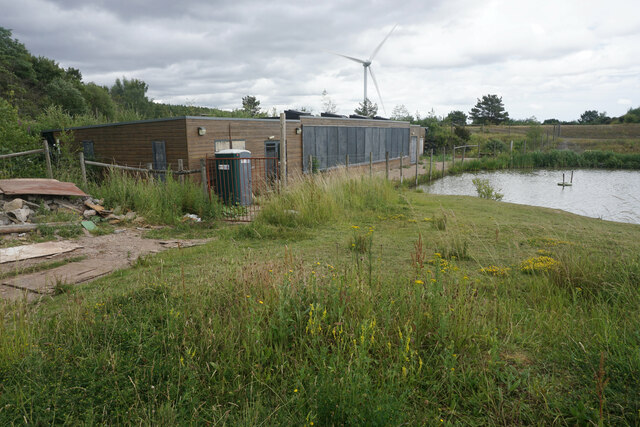
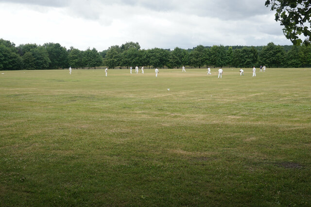
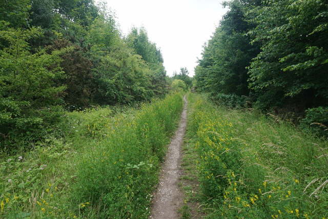
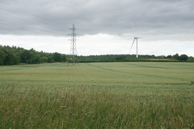
Annesley Images
Images are sourced within 2km of 53.075631/-1.233769 or Grid Reference SK5153. Thanks to Geograph Open Source API. All images are credited.


Annesley is located at Grid Ref: SK5153 (Lat: 53.075631, Lng: -1.233769)
Administrative County: Nottinghamshire
District: Ashfield
Police Authority: Nottinghamshire
What 3 Words
///relieves.funny.bonnet. Near Kirkby in Ashfield, Nottinghamshire
Nearby Locations
Related Wikis
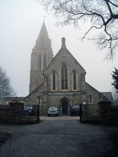
All Saints' Church, Annesley
All Saints' Church, Annesley is a parish church in the Church of England in Annesley, Nottinghamshire. The church is Grade II* listed by the Department...

Annesley railway station
Annesley railway station was a station in Annesley, Nottinghamshire. It was opened in 1874, to serve the mining village of Annesley which had grown following...

Hollinwell and Annesley railway station
Hollinwell and Annesley (previously Hollin Well and Annesley) is a former station on the Great Central Railway on the section between Nottingham Victoria...

Annesley
Annesley is a village and civil parish in the Ashfield district of Nottinghamshire, England, between Hucknall and Kirkby-in-Ashfield. At the 2011 census...
Nearby Amenities
Located within 500m of 53.075631,-1.233769Have you been to Annesley?
Leave your review of Annesley below (or comments, questions and feedback).