Annbank
Settlement in Ayrshire
Scotland
Annbank
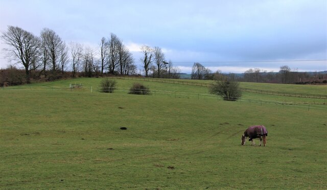
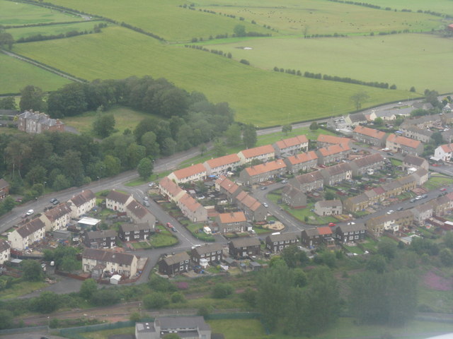
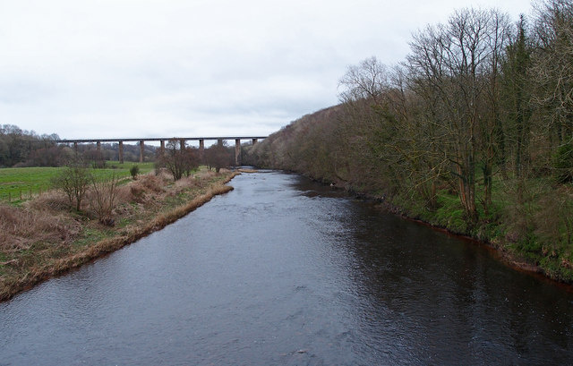
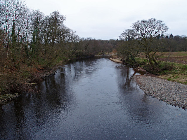
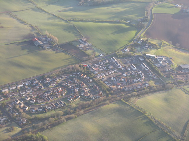
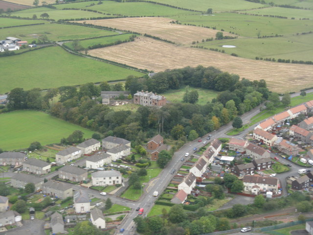
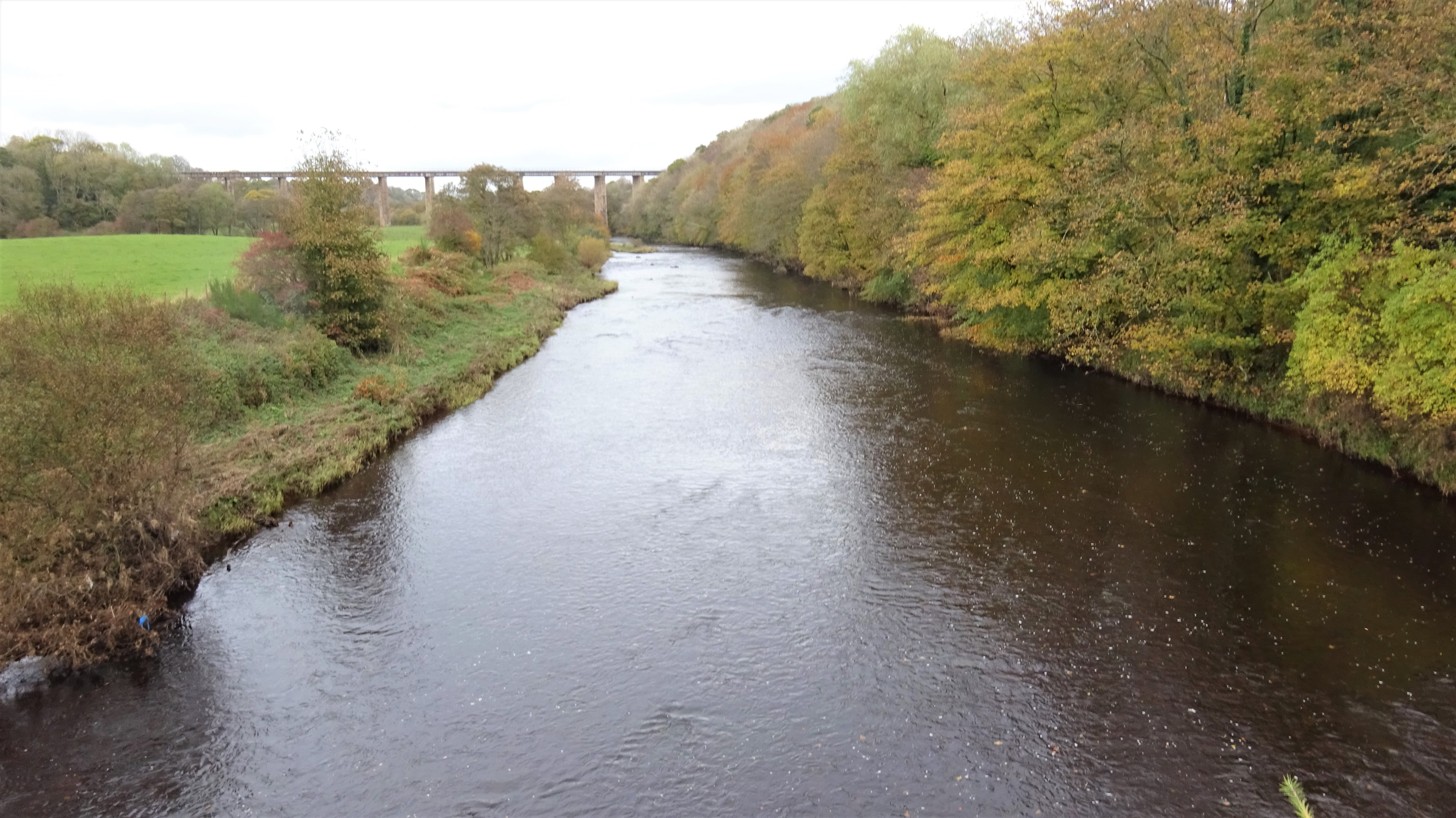
Annbank is a small village located in the South Ayrshire council area of Scotland, specifically in the historical county of Ayrshire. Situated approximately 5 miles southeast of the town of Ayr, Annbank can be found near the banks of the River Ayr. The village is surrounded by picturesque countryside, offering beautiful views and a tranquil atmosphere.
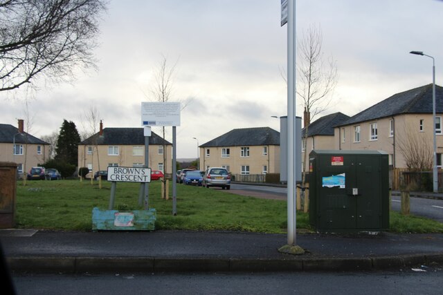
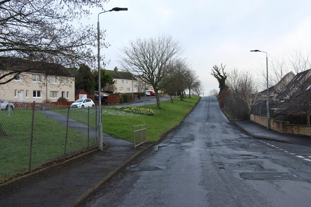
With a population of around 800 residents, Annbank maintains a close-knit community feel. The village is primarily residential, consisting of a mix of traditional stone-built houses and more modern developments. The architecture reflects the rural charm, with many buildings showcasing traditional Scottish design elements.
Despite its small size, Annbank offers a range of amenities and services to its residents. These include a local primary school, a community center, a post office, and a convenience store, providing essential services within easy reach. The village is well-connected by road, with the A77 trunk road passing just to the west, providing convenient access to nearby towns and cities.
For outdoor enthusiasts, Annbank benefits from its proximity to various natural attractions. The River Ayr and its surrounding countryside offer opportunities for walking, fishing, and wildlife spotting. Additionally, the nearby Ayrshire coast provides stunning sandy beaches and scenic coastal walks.
Overall, Annbank is a charming village that provides a peaceful and picturesque place to call home. Its close community, stunning surroundings, and convenient amenities make it an appealing choice for those seeking a quieter lifestyle while still having easy access to larger towns and cities.
If you have any feedback on the listing, please let us know in the comments section below.
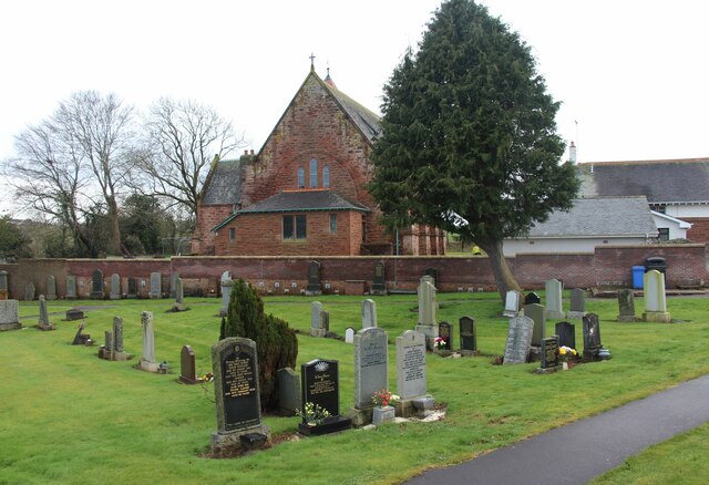
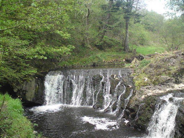
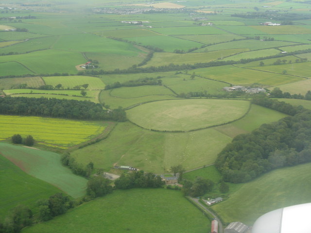
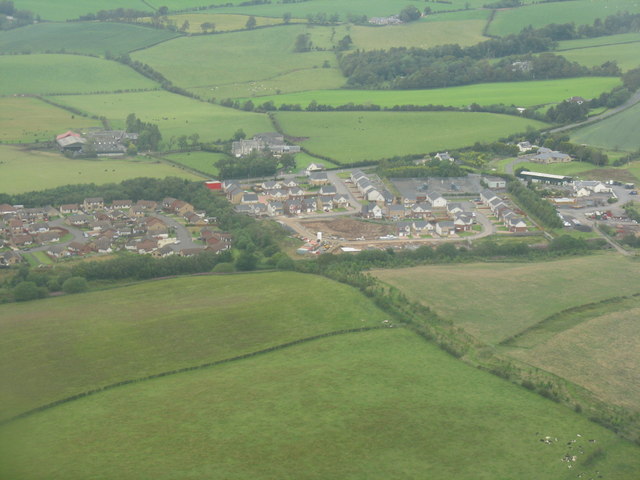
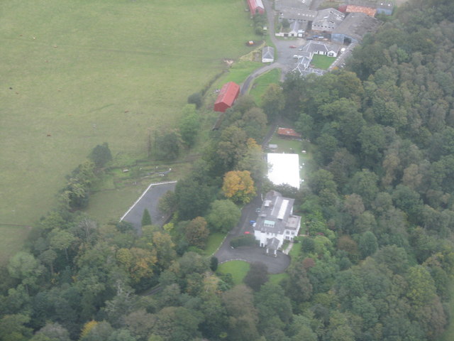
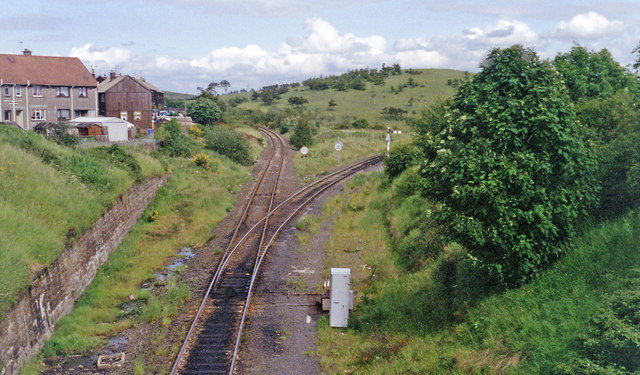
Annbank Images
Images are sourced within 2km of 55.477187/-4.520487 or Grid Reference NS4023. Thanks to Geograph Open Source API. All images are credited.
Annbank is located at Grid Ref: NS4023 (Lat: 55.477187, Lng: -4.520487)
Unitary Authority: South Ayrshire
Police Authority: Ayrshire
What 3 Words
///foresight.lazy.fabric. Near Mossblown, South Ayrshire
Nearby Locations
Related Wikis

Annbank United F.C.
Annbank United Football Club are a Scottish football club from Annbank, South Ayrshire. Formed in 1939, they are based at New Pebble Park and are nicknamed...

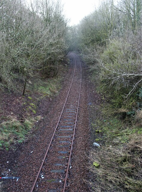
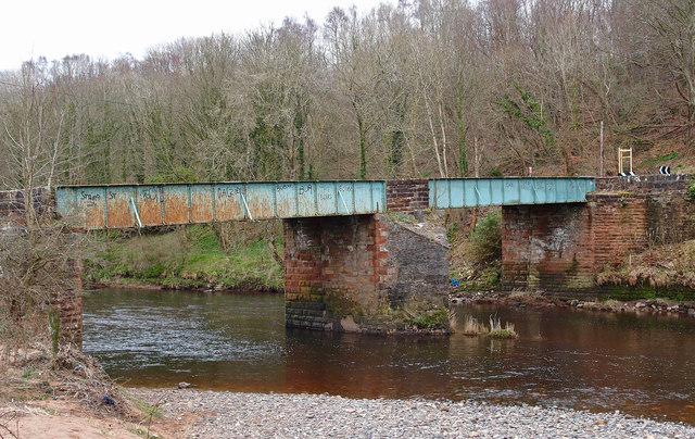
Weston Bridge Halt railway station
Weston Bridge Platform railway station or Weston Bridge Halt railway station was opened to serve miners travelling to the Ayr Colliery No. 9 Pit that stood...
Castle and Barony of Gadgirth
The Castle and Barony of Gadgirth was held by the Chalmer family, originally De Camera, with successive castles and a mansion house overlooking the River...
Annbank
Annbank is a village in South Ayrshire, Scotland. It is around five miles east of Ayr. Originally a mining settlement, it once had a rail link to Ayr via...

Gadgirth Old Ha'
The castle known as Gadgirth Old Ha' or Gadgirth Old Hall, was the first castle at Gadgirth, held by the Chalmer family, standing on a whinstone promontory...

Annbank railway station
Annbank railway station was a railway station serving the villages of Annbank and Mossblown, South Ayrshire, Scotland. The station was part of the Ayr...

Mossblown
Mossblown is a village in South Ayrshire, Scotland, a little larger than neighbouring Annbank. It was a coal mining community but the mines have been closed...
Drumley House School
Drumley House School was a private preparatory school in Mossblown, Ayrshire, Scotland, a few miles from the town of Ayr.Drumley House School was established...
Nearby Amenities
Located within 500m of 55.477187,-4.520487Have you been to Annbank?
Leave your review of Annbank below (or comments, questions and feedback).