Brockle Wood
Wood, Forest in Ayrshire
Scotland
Brockle Wood
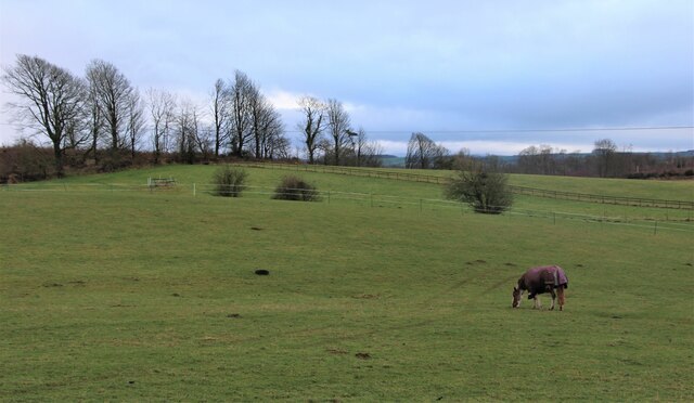
Brockle Wood is a picturesque forest located in Ayrshire, Scotland. Covering an area of approximately 100 hectares, this woodland is known for its diverse flora and fauna, making it a popular destination for nature enthusiasts and hikers.
The forest is predominantly composed of native tree species, including oak, birch, and beech, which create a dense canopy that provides shade and shelter for a variety of wildlife. The forest floor is adorned with a rich carpet of bluebells and wildflowers during the spring season, adding to its natural beauty.
Brockle Wood is home to a wide range of animal species, including red squirrels, badgers, foxes, and a variety of bird species such as woodpeckers and owls. The forest also boasts a small pond, attracting amphibians like frogs and newts.
The wood is crisscrossed by a network of well-maintained trails, allowing visitors to explore the forest and enjoy its tranquility. These trails vary in difficulty, catering to both casual walkers and more experienced hikers. Along the way, you may come across rustic benches and picnic spots, offering the perfect opportunity to rest and soak in the natural surroundings.
Brockle Wood is open to the public year-round, with no admission fee. It is managed by a local conservation organization that ensures the preservation of its natural beauty and wildlife. Whether you are seeking a peaceful stroll or an immersive nature experience, Brockle Wood is a must-visit destination for those seeking solace in the embrace of nature.
If you have any feedback on the listing, please let us know in the comments section below.
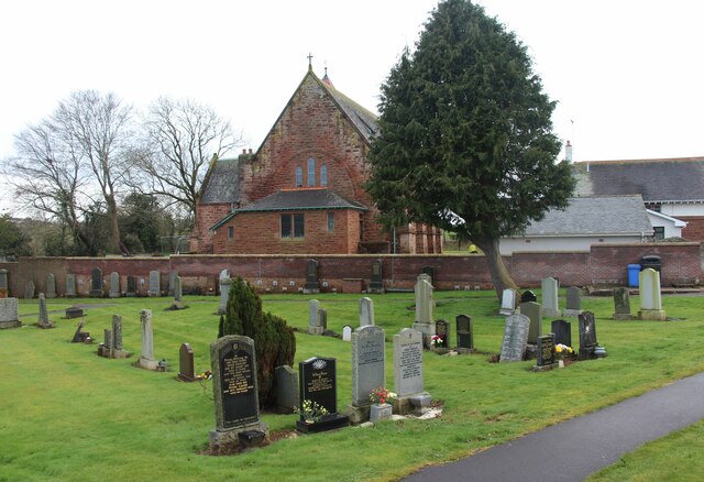
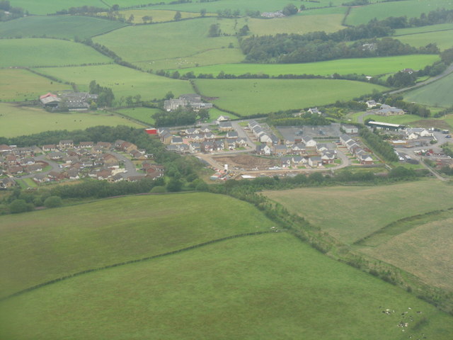
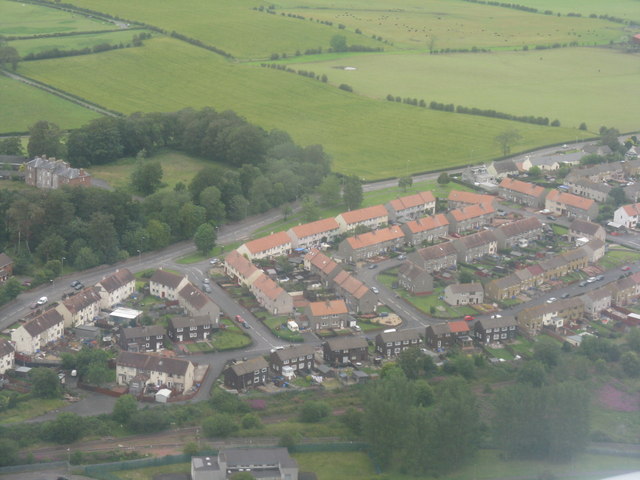
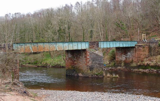
Brockle Wood Images
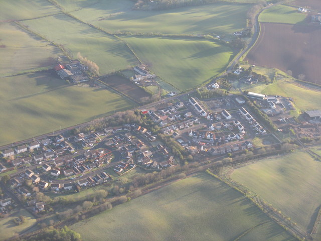
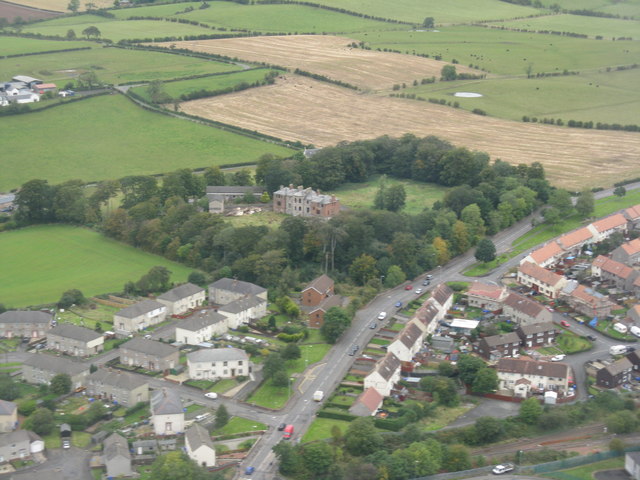
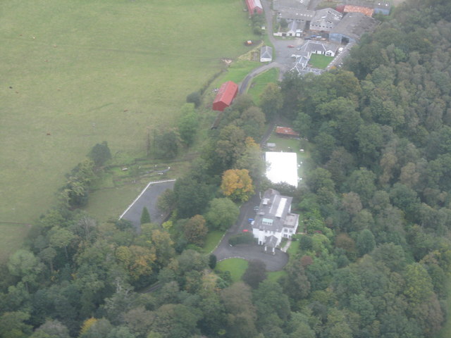
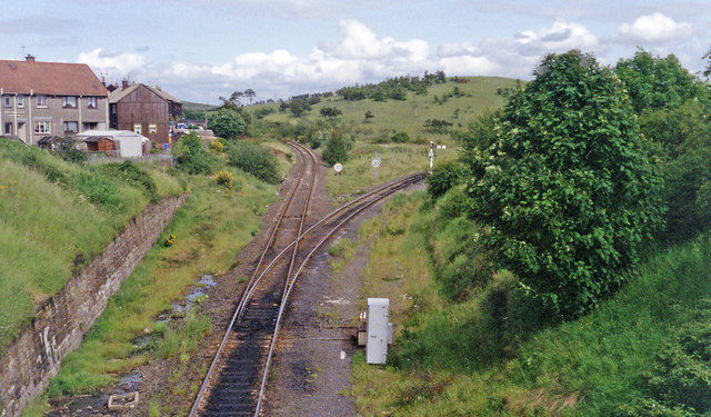
Images are sourced within 2km of 55.479481/-4.5298474 or Grid Reference NS4023. Thanks to Geograph Open Source API. All images are credited.


Brockle Wood is located at Grid Ref: NS4023 (Lat: 55.479481, Lng: -4.5298474)
Unitary Authority: South Ayrshire
Police Authority: Ayrshire
What 3 Words
///upset.empty.headlines. Near Mossblown, South Ayrshire
Nearby Locations
Related Wikis

Annbank United F.C.
Annbank United Football Club are a Scottish football club from Annbank, South Ayrshire. Formed in 1939, they are based at New Pebble Park and are nicknamed...

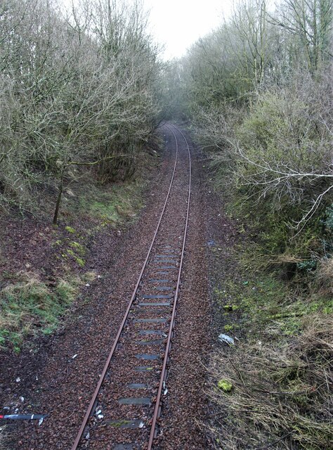
Weston Bridge Halt railway station
Weston Bridge Platform railway station or Weston Bridge Halt railway station was opened to serve miners travelling to the Ayr Colliery No. 9 Pit that stood...
Annbank
Annbank is a village in South Ayrshire, Scotland. It is around five miles east of Ayr. Originally a mining settlement, it once had a rail link to Ayr via...

Annbank railway station
Annbank railway station was a railway station serving the villages of Annbank and Mossblown, South Ayrshire, Scotland. The station was part of the Ayr...
Nearby Amenities
Located within 500m of 55.479481,-4.5298474Have you been to Brockle Wood?
Leave your review of Brockle Wood below (or comments, questions and feedback).