Bickham Wood
Wood, Forest in Somerset Somerset West and Taunton
England
Bickham Wood

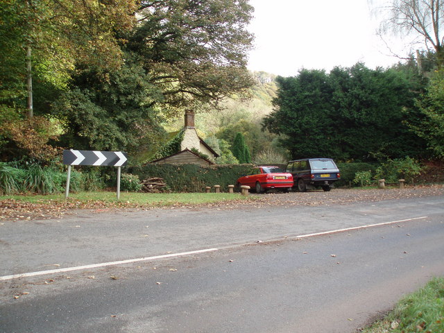
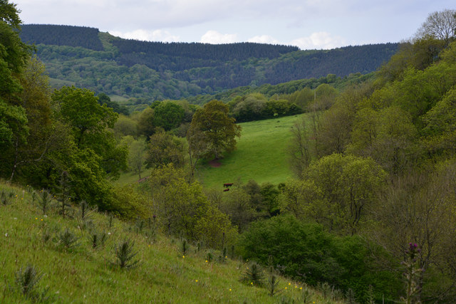
Bickham Wood is a beautiful woodland located in Somerset, England. It covers an area of approximately 150 acres and is a well-known spot for nature enthusiasts and outdoor enthusiasts alike. The wood is situated near the village of Bickham and is easily accessible from nearby towns and cities.
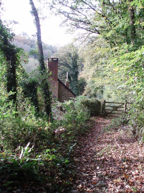
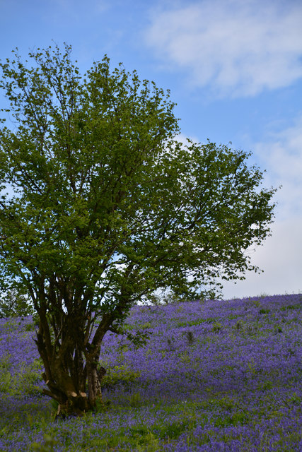
The wood is predominantly made up of native broadleaf trees, including oak, beech, and ash, which create a diverse and vibrant ecosystem. The dense canopy provides a cool and shaded environment, making it a perfect escape from the summer heat. The forest floor is covered in a thick carpet of ferns, mosses, and wildflowers, further adding to the beauty of the wood.
Bickham Wood is home to a variety of wildlife, including several species of birds, small mammals, and insects. Birdwatchers often flock to the area to catch a glimpse of species such as woodpeckers, owls, and various songbirds. The wood is also known for its population of deer, which can often be spotted grazing or moving through the undergrowth.
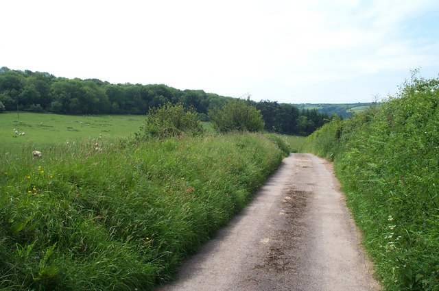
There are several walking trails and footpaths that wind through Bickham Wood, allowing visitors to explore its natural wonders and take in the tranquil surroundings. These paths are well-maintained and offer a chance to experience the sights and sounds of the woodland at close range. The wood is also a popular spot for picnics and family outings, with designated areas for visitors to relax and enjoy the peaceful ambiance.
Overall, Bickham Wood is a picturesque and enchanting woodland that offers a haven of tranquility and natural beauty for all who visit.
If you have any feedback on the listing, please let us know in the comments section below.
Bickham Wood Images
Images are sourced within 2km of 51.159046/-3.5103798 or Grid Reference SS9441. Thanks to Geograph Open Source API. All images are credited.


Bickham Wood is located at Grid Ref: SS9441 (Lat: 51.159046, Lng: -3.5103798)
Administrative County: Somerset
District: Somerset West and Taunton
Police Authority: Avon and Somerset
What 3 Words
///conjured.spreading.emerald. Near Minehead, Somerset
Related Wikis

Wootton Courtenay
Wootton Courtenay is a village and civil parish on Exmoor in the Somerset West and Taunton district of Somerset, England. The parish includes the hamlets...

Church of St John, Cutcombe
The Anglican Church of St John in Cutcombe, Somerset, England was built in the 13th and 14th centuries. It is a Grade II* listed building. == History... ==
Cutcombe
Cutcombe is a village and civil parish 9 miles (14 km) south of Minehead and north of Dulverton straddling the ridge between Exmoor and the Brendon Hills...

Timberscombe
Timberscombe is a village and civil parish on the River Avill 2.5 miles (4 km) south-west of Dunster, and 5.5 miles (9 km) south of Minehead within the...

Dunster Park and Heathlands
Dunster Park and Heathlands (grid reference SS955441) is a 466.6 hectare biological Site of Special Scientific Interest in Somerset, notified in 2000....

Long Wood Enclosure
Long Wood Enclosure is an enclosure which may have been a univallate Iron Age hill fort, in the West Somerset district of Somerset, England. The hill fort...

Brendon Hills
The Brendon Hills are a range of hills in west Somerset, England. The hills merge level into the eastern side of Exmoor and are included within the Exmoor...

Chapel of St Leonard, Tivington
The Anglican Chapel of St Leonard in Tivington, Somerset, England was built in the mid 14th century as a chapel of ease. It is a Grade II* listed building...
Nearby Amenities
Located within 500m of 51.159046,-3.5103798Have you been to Bickham Wood?
Leave your review of Bickham Wood below (or comments, questions and feedback).