Tower Plantation

Wood, Forest in Somerset Somerset West and Taunton

England

Tower Plantation

Haddeo Valley Lady Harriet Acland's drive in the Haddeo valley near the village of Bury.
Haddeo Valley Credit: Philip Halling

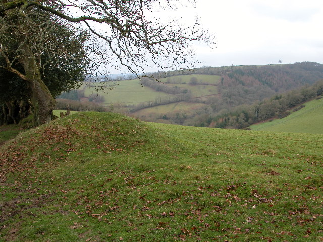
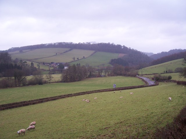
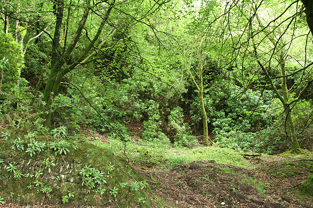
Tower Plantation is a picturesque woodland area located in Somerset, England. Covering an extensive area of approximately [X] square kilometers, Tower Plantation is known for its diverse flora and fauna, making it an attractive destination for nature enthusiasts and wildlife lovers alike.

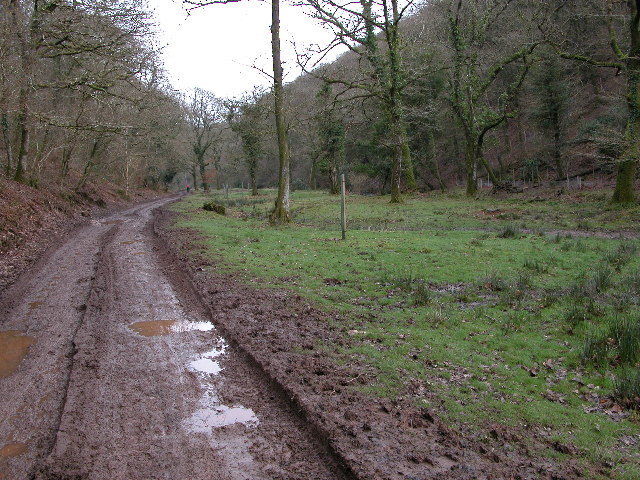
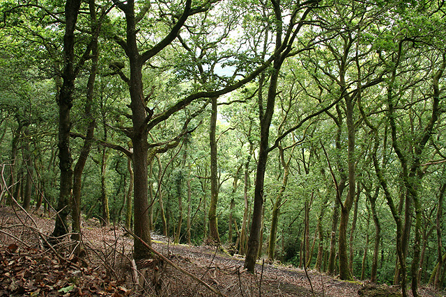
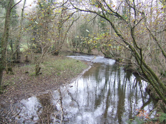
The plantation is predominantly composed of a variety of trees, including oak, ash, beech, and birch, creating a lush and vibrant landscape throughout the year. The dense canopy provides a cool and shaded environment, perfect for leisurely walks and picnics on warm summer days.

The woodland is home to a wide range of wildlife species, making it a popular spot for birdwatching. Visitors may spot various birds, such as woodpeckers, owls, and finches, as well as small mammals like squirrels and rabbits. Tower Plantation is also known for its population of deer, which can often be seen grazing in open clearings.

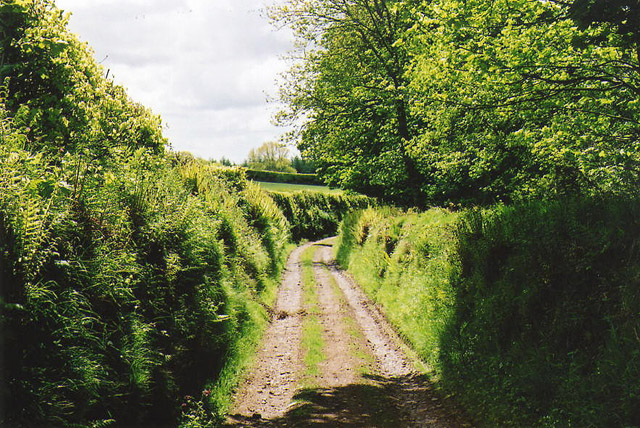
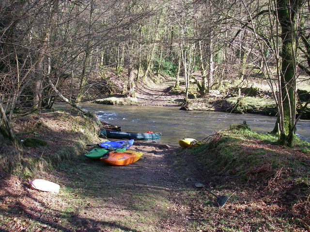
The plantation offers well-maintained walking trails and paths, allowing visitors to explore the area at their own pace. These trails cater to different levels of fitness and offer stunning views of the surrounding countryside. Additionally, Tower Plantation is equipped with picnic areas and benches, providing ample opportunities for visitors to relax and enjoy the tranquil atmosphere.

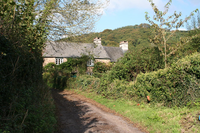
Tower Plantation is easily accessible, with a nearby parking area for visitors. The plantation is open to the public throughout the year, free of charge. Whether one is seeking a peaceful retreat or an opportunity to connect with nature, Tower Plantation offers a serene and immersive experience in the heart of Somerset's natural beauty.

If you have any feedback on the listing, please let us know in the comments section below.

Tower Plantation Images

Images are sourced within 2km of 51.046832/-3.5168408 or Grid Reference SS9328. Thanks to Geograph Open Source API. All images are credited.

Haddeo Valley Lady Harriet Acland's drive in the Haddeo valley near the village of Bury.
Haddeo Valley
Lady Harriet Acland's drive in the Haddeo valley near the village of Bury.
Bridge in village of Bury The bridge and ford crossing the River Haddeo in the village of Bury on Somerset.
Bridge in village of Bury
The bridge and ford crossing the River Haddeo in the village of Bury on Somerset.
Haddeo Valley The Haddeo valley viewed from the Haddon Lane, above the village of Bury.
Haddeo Valley
The Haddeo valley viewed from the Haddon Lane, above the village of Bury.
Dulverton: track running south to Jury Cross The track appears to head towards Pixton Park, just beyond Jury Cross
Dulverton: track running south to Jury Cross
The track appears to head towards Pixton Park, just beyond Jury Cross
Brompton Regis: ford and packhorse bridge at Bury Crossing the river Haddeo, a tributary of the Exe
Brompton Regis: ford and packhorse bridge at Bury
Crossing the river Haddeo, a tributary of the Exe
Brompton Regis: Hunt’s Farm The farm offers bed and breakfast and has organic eggs for sale
Brompton Regis: Hunt’s Farm
The farm offers bed and breakfast and has organic eggs for sale
Machine Cross The road junction 'Machine Cross', and the Exe valley. The river Exe flows south along the far (western) edge of the valley floor.
Machine Cross
The road junction 'Machine Cross', and the Exe valley. The river Exe flows south along the far (western) edge of the valley floor.
Dulverton: Bath Meadow Drive Looking north-north-west amongst bungalows
Dulverton: Bath Meadow Drive
Looking north-north-west amongst bungalows
Dulverton: entrance to Pixton Park House There are several entrances to the private estate, of which this is one. Some of the others have lodges or gatehouses. Looking west-north-west
Dulverton: entrance to Pixton Park House
There are several entrances to the private estate, of which this is one. Some of the others have lodges or gatehouses. Looking west-north-west
Dulverton: Stockham Former farm buildings. Looking east-north-east
Dulverton: Stockham
Former farm buildings. Looking east-north-east
Brompton Regis: the A396 in the Exe Valley River and road adjoin. Looking west-south-west on the edge of Brockhole Wood
Brompton Regis: the A396 in the Exe Valley
River and road adjoin. Looking west-south-west on the edge of Brockhole Wood
Brompton Regis: old quarry On Bury Hill by the road from Machine Cross, and now populated with rhododendrons. Looking north east
Brompton Regis: old quarry
On Bury Hill by the road from Machine Cross, and now populated with rhododendrons. Looking north east
Brompton Regis: Barlynch Wood A hanging wood in the Exe valley. Looking south-south-west
Brompton Regis: Barlynch Wood
A hanging wood in the Exe valley. Looking south-south-west
Dulverton: the Exe above Helebridge Looking north-north-east towards Barlynch Wood
Dulverton: the Exe above Helebridge
Looking north-north-east towards Barlynch Wood
Brompton Regis: heather on Haddon Hill Looking north
Brompton Regis: heather on Haddon Hill
Looking north
River Haddeo near Bury, Somerset View downstream near to the point where it meets up with the Exe.
River Haddeo near Bury, Somerset
View downstream near to the point where it meets up with the Exe.
River Haddeo - upstream A meander presents itself nicely by the minor road to Bury enabling an up- and downstream shot from the same spot!
River Haddeo - upstream
A meander presents itself nicely by the minor road to Bury enabling an up- and downstream shot from the same spot!
Ford over the Exe A ford where a private track crosses the river Exe
Ford over the Exe
A ford where a private track crosses the river Exe
Show me another place!

Tower Plantation is located at Grid Ref: SS9328 (Lat: 51.046832, Lng: -3.5168408)

Administrative County: Somerset

District: Somerset West and Taunton

Police Authority: Avon and Somerset

What 3 Words

///cutlets.tarred.breathing. Near Dulverton, Somerset

Related Wikis

Barlynch Priory

Barlynch Priory (also known as St Nicholas's Priory and sometimes spelled Barlich Priory) in Brompton Regis, Somerset, England was an Augustinian priory...

Bury Bridge

Bury Bridge at Bury in the parish of Brompton Regis within the English county of Somerset is a medieval packhorse bridge. It has been scheduled as an ancient...

Bury Castle, Brompton Regis

Bury Castle near Brompton Regis in the English county of Somerset was an Iron Age univallate hillfort which was reused with the creation of a motte after...
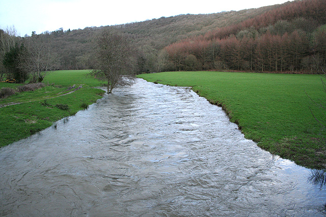
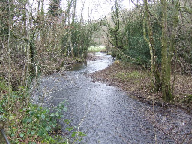
River Haddeo

The River Haddeo on Exmoor in Somerset, England flows from the Wimbleball Lake to the River Exe. The valley of the river consists of three tributary valleys...

Nearby Amenities

Located within 500m of 51.046832,-3.5168408
Butter Ball
Place: locality
Lat/Long: 51.04949/-3.5122524
The Slade
Place: locality
Lat/Long: 51.0482493/-3.5124873
Swines Cleeve
Place: locality
Lat/Long: 51.0454233/-3.5119861
Louisa Gate
Place: locality
Lat/Long: 51.0476881/-3.5167476
Tower Plantation
Place: locality
Lat/Long: 51.0464474/-3.516497
Padwell Plantation
Place: locality
Lat/Long: 51.0510486/-3.5146718
The Tower
Place: locality
Lat/Long: 51.0470339/-3.517114
The data included in this document is from www.openstreetmap.org. The data is made available under ODbL.

Have you been to Tower Plantation?

Leave your review of Tower Plantation below (or comments, questions and feedback).