Helebridge Plantation

Wood, Forest in Somerset Somerset West and Taunton

England

Helebridge Plantation

Bridge over the River Barle at Dulverton
Bridge over the River Barle at Dulverton Credit: David Martin

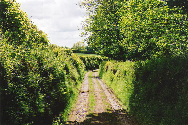
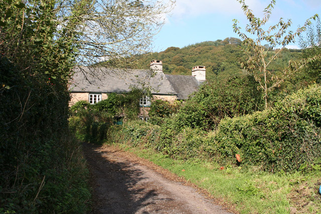
Helebridge Plantation is a picturesque woodland area located in Somerset, England. Situated near the town of Wood, this plantation covers a sprawling area of lush greenery and is known for its rich biodiversity. The forest is home to a diverse range of flora and fauna, making it a haven for nature enthusiasts and wildlife lovers.

The plantation is characterized by its dense canopies of tall trees, including oak, beech, and pine. These provide a habitat for a variety of bird species, such as woodpeckers, tawny owls, and nuthatches, which can be spotted throughout the year. The forest floor is adorned with an array of wildflowers, ferns, and mosses, creating a vibrant and serene atmosphere.

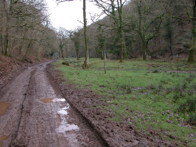
Helebridge Plantation offers several walking trails that wind through the forest, allowing visitors to explore its natural beauty at their own pace. The paths are well-maintained and provide both leisurely strolls and more challenging hikes for the adventurous. Along the way, visitors may come across hidden streams, small waterfalls, and picturesque vistas, adding to the allure of the plantation.

In addition to its natural beauty, Helebridge Plantation also has historical significance. The area was once part of an ancient medieval hunting ground and remnants of old deer fences and hunting lodges can still be seen, providing glimpses into its past.

Whether seeking solace in nature, embarking on an outdoor adventure, or simply indulging in the beauty of the Somerset countryside, Helebridge Plantation offers a serene and captivating experience for all who visit.

If you have any feedback on the listing, please let us know in the comments section below.

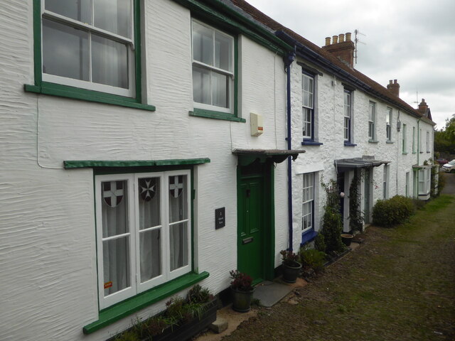
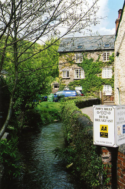
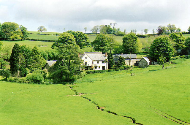
Helebridge Plantation Images

Images are sourced within 2km of 51.043616/-3.5276486 or Grid Reference SS9328. Thanks to Geograph Open Source API. All images are credited.

Bridge over the River Barle at Dulverton
Chapel in Dulverton
Chapel in Dulverton
Church of All Saints, Dulverton
High Street, Dulverton
Bridge over the River Barle at Dulverton
Barle Bridge, Dulverton A Grade II Listed bridge over the River Barle. Mediaeval in origin, repaired 1624, subsequently widened 1819 by J Stone, repaired 1866 and 1952-3. Five arches in random rubble. Also a Scheduled Ancient Monument.
Barle Bridge, Dulverton
A Grade II Listed bridge over the River Barle. Mediaeval in origin, repaired 1624, subsequently widened 1819 by J Stone, repaired 1866 and 1952-3. Five arches in random rubble. Also a Scheduled Ancient Monument.
Northmoor Road, Dulverton The nearest house is No. 7 and the pump and black bollard seen in the background are Listed Grade II, primarily for historic interest.
Northmoor Road, Dulverton
The nearest house is No. 7 and the pump and black bollard seen in the background are Listed Grade II, primarily for historic interest.
1-5 Church Lane, Dulverton Terrace of 5 houses circa early to mid-19th century, although the two closest (1 and 2) are earlier. Painted stole rubble. Listed Grade II.
1-5 Church Lane, Dulverton
Terrace of 5 houses circa early to mid-19th century, although the two closest (1 and 2) are earlier. Painted stole rubble. Listed Grade II.
Dulverton: Town Mills Now offering bread and breakfast, Town Mills was once one of four mills all powered by a single leat from the river Barle. One of its waterwheels can be seen turning at Bickleigh Mill, near Tiverton
Dulverton: Town Mills
Now offering bread and breakfast, Town Mills was once one of four mills all powered by a single leat from the river Barle. One of its waterwheels can be seen turning at Bickleigh Mill, near Tiverton
Dulverton: the leat from the Barle Here the leat runs past the old paper mill, now a private house. Seen from the public footpath
Dulverton: the leat from the Barle
Here the leat runs past the old paper mill, now a private house. Seen from the public footpath
Haddeo Valley Lady Harriet Acland's drive in the Haddeo valley near the village of Bury.
Haddeo Valley
Lady Harriet Acland's drive in the Haddeo valley near the village of Bury.
Bridge in village of Bury The bridge and ford crossing the River Haddeo in the village of Bury on Somerset.
Bridge in village of Bury
The bridge and ford crossing the River Haddeo in the village of Bury on Somerset.
Dulverton: Northcombe Farm View from the footpath to Court Down. The water-powered millhouse at Northcombe has been converted into a camping barn; the shrouds of the overshot waterwheel survive outside
Dulverton: Northcombe Farm
View from the footpath to Court Down. The water-powered millhouse at Northcombe has been converted into a camping barn; the shrouds of the overshot waterwheel survive outside
Dulverton: track running south to Jury Cross The track appears to head towards Pixton Park, just beyond Jury Cross
Dulverton: track running south to Jury Cross
The track appears to head towards Pixton Park, just beyond Jury Cross
DULVERTON, Somerset All Saints Parish Church
DULVERTON, Somerset
All Saints Parish Church
Dulverton Fire Station Dulverton Fire Station, St Cuthbert's Way, Dulverton, Somerset.
Dulverton Fire Station
Dulverton Fire Station, St Cuthbert's Way, Dulverton, Somerset.
Brompton Regis: ford and packhorse bridge at Bury Crossing the river Haddeo, a tributary of the Exe
Brompton Regis: ford and packhorse bridge at Bury
Crossing the river Haddeo, a tributary of the Exe
Brompton Regis: Hunt’s Farm The farm offers bed and breakfast and has organic eggs for sale
Brompton Regis: Hunt’s Farm
The farm offers bed and breakfast and has organic eggs for sale
Show me another place!

Helebridge Plantation is located at Grid Ref: SS9328 (Lat: 51.043616, Lng: -3.5276486)

Administrative County: Somerset

District: Somerset West and Taunton

Police Authority: Avon and Somerset

What 3 Words

///chip.cadet.unique. Near Dulverton, Somerset

Related Wikis

Barlynch Priory

Barlynch Priory (also known as St Nicholas's Priory and sometimes spelled Barlich Priory) in Brompton Regis, Somerset, England was an Augustinian priory...

Dulverton Rural District

Dulverton was a rural district in Somerset, England, from 1894 to 1974. It was created in 1894 under the Local Government Act 1894. In 1974 it was abolished...

Church of All Saints, Dulverton

The Anglican Church of All Saints in Dulverton, Somerset, England was built in the 15th century and largely rebuilt in the 1850s. It is a Grade II* listed...

Dulverton

Dulverton is a town and civil parish in west Somerset, England, near the border with Devon. The town had a population of 1,408 at the 2011 Census. The...

Dulverton Town Hall

Dulverton Town Hall is a municipal building in Fore Street in Dulverton, Somerset, England. The building, which is the meeting place of Dulverton Town...

Bury Castle, Brompton Regis

Bury Castle near Brompton Regis in the English county of Somerset was an Iron Age univallate hillfort which was reused with the creation of a motte after...

Bury Bridge

Bury Bridge at Bury in the parish of Brompton Regis within the English county of Somerset is a medieval packhorse bridge. It has been scheduled as an ancient...

River Haddeo

The River Haddeo on Exmoor in Somerset, England flows from the Wimbleball Lake to the River Exe. The valley of the river consists of three tributary valleys...

Nearby Amenities

Located within 500m of 51.043616,-3.5276486
Hele Ball
Place: locality
Lat/Long: 51.0450274/-3.5316715
Helebridge Wood
Place: locality
Lat/Long: 51.0458826/-3.525659
Helebridge Plantation
Place: locality
Lat/Long: 51.0430265/-3.5297663
The data included in this document is from www.openstreetmap.org. The data is made available under ODbL.

Have you been to Helebridge Plantation?

Leave your review of Helebridge Plantation below (or comments, questions and feedback).