Clapham

Settlement in Devon Teignbridge

England

Clapham

Shillingford St George : Aerial Scenery From a flight inbound for Exeter looking across the countryside.
Shillingford St George : Aerial Scenery Credit: Lewis Clarke

Clapham is a small village located in the beautiful county of Devon, England. Situated approximately 5 miles south of the town of Barnstaple, Clapham offers a tranquil and picturesque setting that is popular among locals and tourists alike.

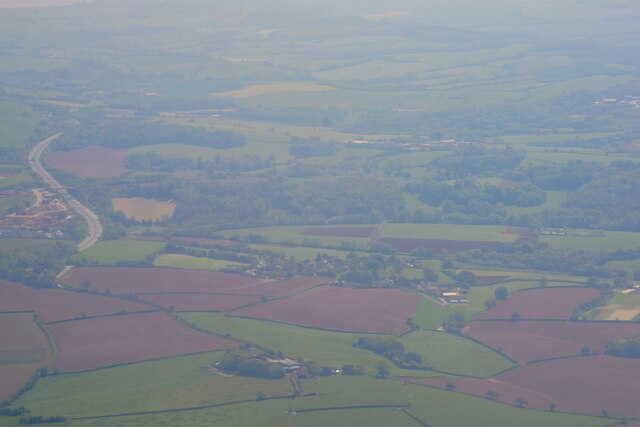
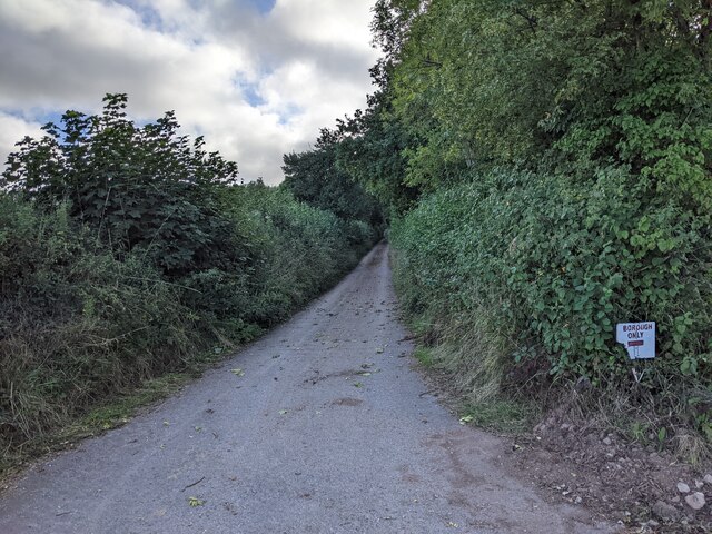
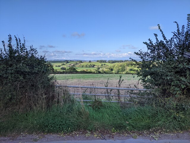
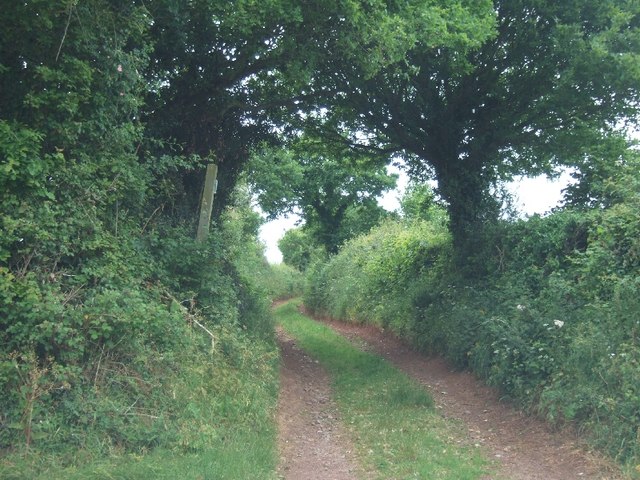
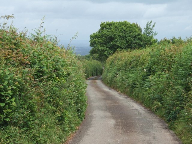
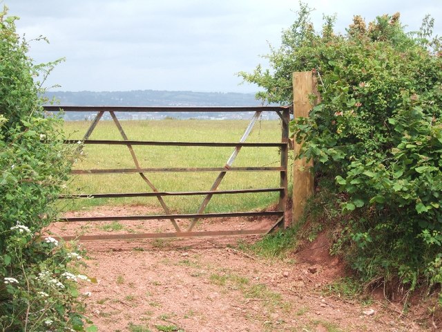
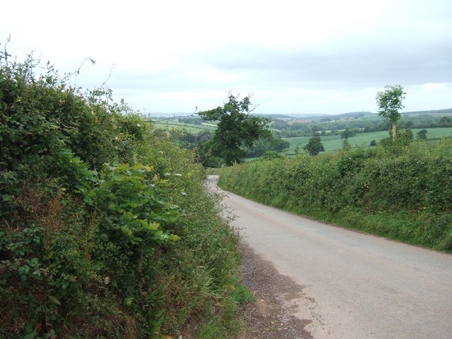
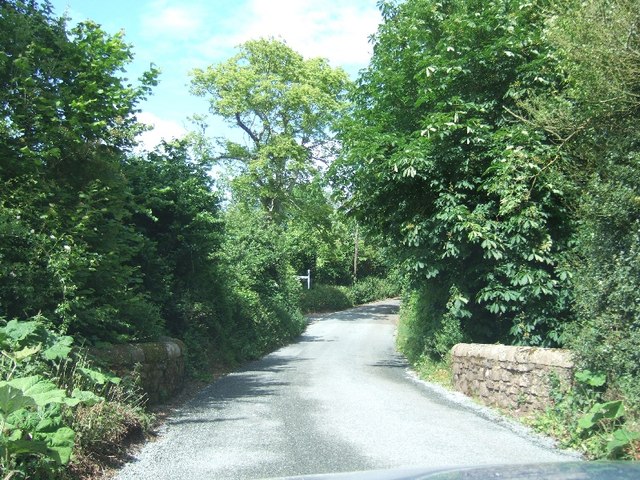
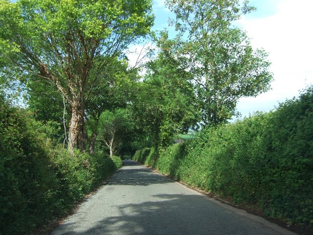
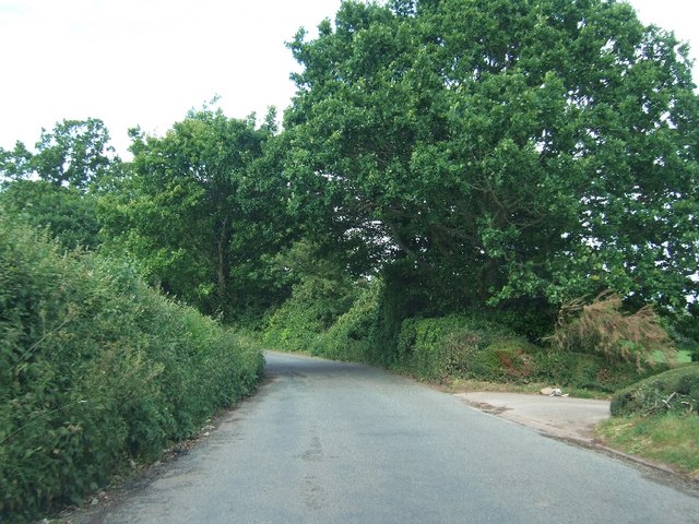
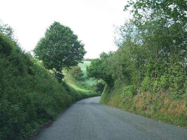
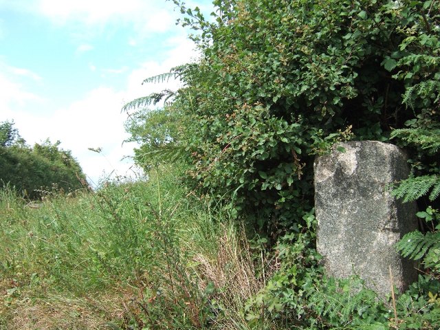
The village is surrounded by stunning countryside, with rolling hills and lush green fields. It is also close to the Exmoor National Park, providing ample opportunities for outdoor enthusiasts to explore the area's natural beauty through hiking, cycling, and horseback riding.

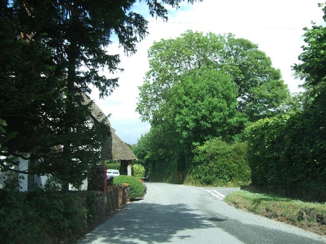
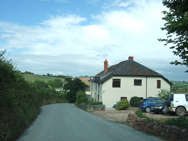
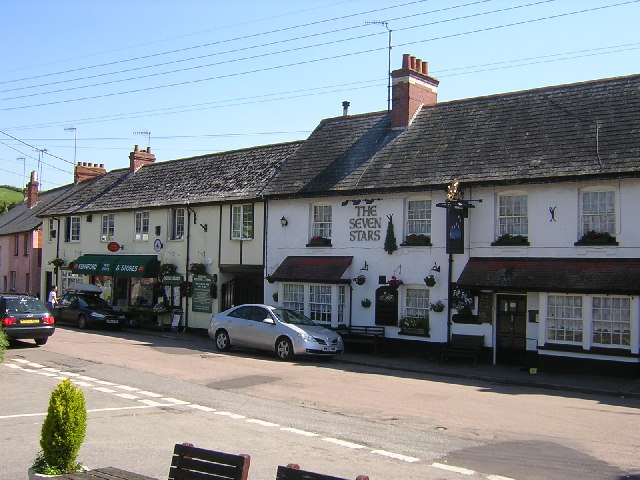
Clapham itself is a charming village, with a tight-knit community and a rich history. The streets are lined with quaint cottages, many of which date back several centuries, giving the village a timeless feel. There is a village pub, The Clapham Arms, where locals and visitors can enjoy a drink and a meal.

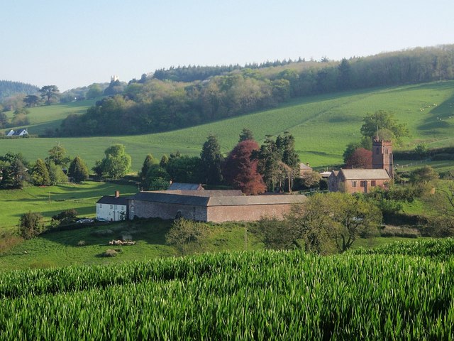
One of the notable landmarks in Clapham is the St. Mary's Church, a beautiful medieval church that stands as a testament to the village's historical significance. The church features stunning stained glass windows and a peaceful atmosphere, making it a popular spot for visitors seeking a moment of reflection.

For those seeking amenities, the nearby town of Barnstaple offers a range of shops, restaurants, and entertainment options. Clapham benefits from its close proximity to this larger town, providing residents with easy access to essential services and facilities.

In summary, Clapham, Devon, is a charming village nestled in the heart of the countryside. With its natural beauty, rich history, and friendly community, it is a delightful place to visit or call home.

If you have any feedback on the listing, please let us know in the comments section below.
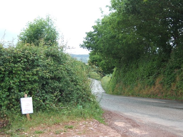
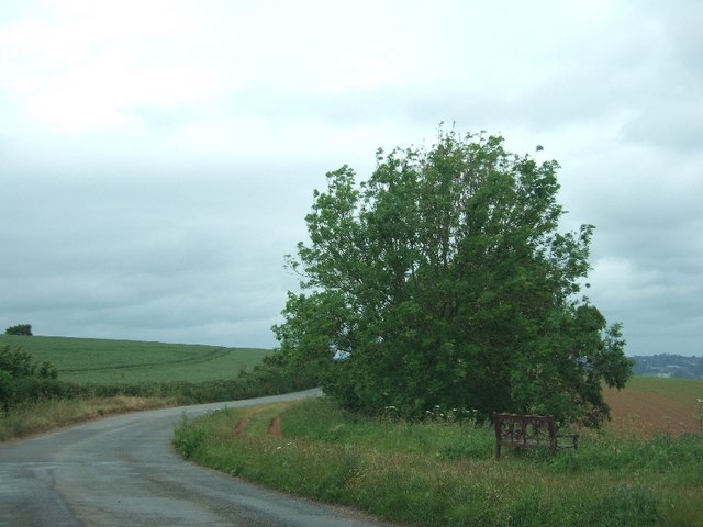
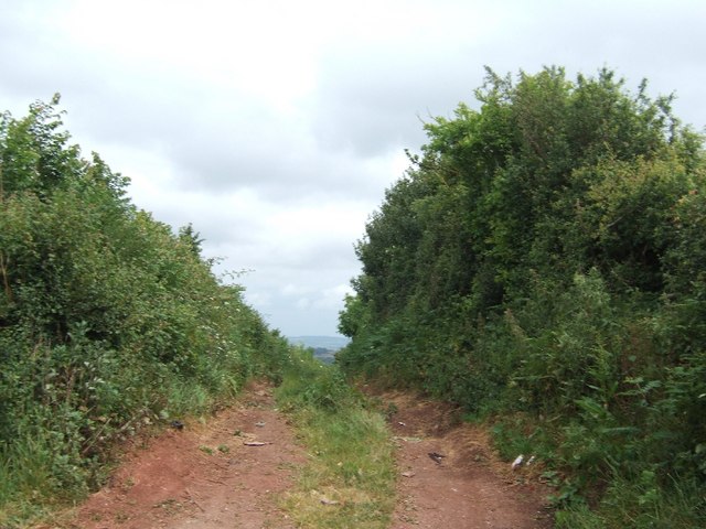
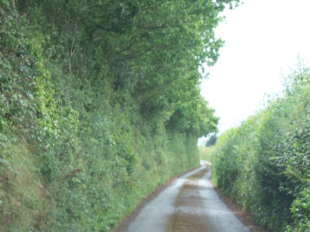
Clapham Images

Images are sourced within 2km of 50.676613/-3.562488 or Grid Reference SX8987. Thanks to Geograph Open Source API. All images are credited.

Shillingford St George : Aerial Scenery From a flight inbound for Exeter looking across the countryside.
Shillingford St George : Aerial Scenery
From a flight inbound for Exeter looking across the countryside.
Lane heading to Borough
Gate and fields looking north-east from opposite the lane to Borough
Public footpath running west from Markham Cross Also used as a farm track; the other end is in <a href="https://www.geograph.org.uk/photo/2434416">SX8989 : Footpath to Markham Cross</a>
Public footpath running west from Markham Cross
Also used as a farm track; the other end is in SX8989 : Footpath to Markham Cross
Road south from Markham Cross to Dunchideock
A seat with a view over Exeter There is a good view over Exeter and the Exe valley from this bench (which looks more lavish than the usual public seat).  However, some of the view is of the roofscape of industrial buildings.
A seat with a view over Exeter
There is a good view over Exeter and the Exe valley from this bench (which looks more lavish than the usual public seat). However, some of the view is of the roofscape of industrial buildings.
Footpath to Markham Cross The other end of this short path is in <a href="https://www.geograph.org.uk/photo/2434403">SX8989 : Public footpath running west from Markham Cross</a>
Footpath to Markham Cross
The other end of this short path is in SX8989 : Public footpath running west from Markham Cross
Lane along ridge south of Whiddon Farm
Road leading east from Idestone Cross
Farm gate with a view to Exeter Beyond the gate, there is a view to Exeter, several kilometres away
Farm gate with a view to Exeter
Beyond the gate, there is a view to Exeter, several kilometres away
Road east from Leachway Lane Cross The road leads to Dunchideock
Road east from Leachway Lane Cross
The road leads to Dunchideock
Webberton Cross The road on the right leads to the Lord Haldon Hotel
Webberton Cross
The road on the right leads to the Lord Haldon Hotel
House on the edge of Dunchideock
Dunchideock Bridge
Dunchideock Bridge
Road north-east of Manstree Cross on the way to Ide
Road passing Westbury (entrance on right)
Approaching a sharp bend on the way to Ide
Boundary stone at Markham Cross Presumably a parish boundary between Ide and Shillingford
Boundary stone at Markham Cross
Presumably a parish boundary between Ide and Shillingford
Show me another place!

Clapham is located at Grid Ref: SX8987 (Lat: 50.676613, Lng: -3.562488)

Administrative County: Devon

District: Teignbridge

Police Authority: Devon and Cornwall

What 3 Words

///privately.spot.dish. Near Exminster, Devon

Nearby Locations

Pond Wood Clapham

Related Wikis

Shillingford St George

Shillingford St. George is a village on the outskirts of Exeter, East Devon, England. It is about 3 miles south of the City of Exeter. == External links... ==

Dunchideock

Dunchideock ( DUN-chi-dək, dun-CHID-ee-ək) is a small civil parish on the north eastern slopes of the Haldon Hills in Teignbridge, Devon, England. It...

Haldon House

Haldon House (pronounced: "Hol-don") on the eastern side of the Haldon Hills in the parishes of Dunchideock and Kenn, near Exeter in Devon, England, was...

Kennford

Kennford is a village situated in the Teignbridge district of Devon, England. Kennford is four miles (6 km) to the south of Exeter in the civil parish...

Nearby Amenities

Located within 500m of 50.676613,-3.562488
Clapham
Place: hamlet
Source Name: local knowledge
Lat/Long: 50.6727549/-3.5624921
Post Box
Post Box Type: wall
Ref: EX2 88
Royal Cypher: VR
Royal Cypher Wikidata: Q33102356
Lat/Long: 50.672651/-3.5629258
Power: pole
Lat/Long: 50.6769135/-3.5692799
Power: pole
Lat/Long: 50.6764903/-3.5677055
Power: pole
Lat/Long: 50.6763407/-3.5660961
Power: pole
Lat/Long: 50.676203/-3.5645485
Power: pole
Lat/Long: 50.6759549/-3.5592082
Power: pole
Lat/Long: 50.6756506/-3.557438
Power: pole
Lat/Long: 50.6756795/-3.5572073
The data included in this document is from www.openstreetmap.org. The data is made available under ODbL.

Have you been to Clapham?

Leave your review of Clapham below (or comments, questions and feedback).