Pond Wood

Wood, Forest in Devon Teignbridge

England

Pond Wood

Shillingford St George : Aerial Scenery From a flight inbound for Exeter looking across the countryside.
Shillingford St George : Aerial Scenery Credit: Lewis Clarke

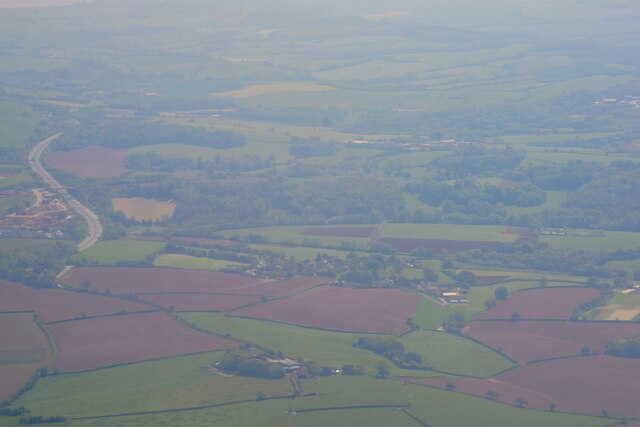
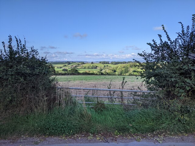
Pond Wood is a picturesque forest located in Devon, England. Covering an area of approximately 100 acres, it is a popular destination for nature enthusiasts and outdoor adventurers alike. The woodland is situated near the village of Wood, and its serene atmosphere and diverse ecosystem make it a haven for wildlife and plant species.

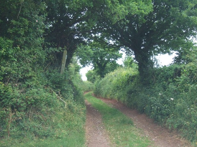
The woodland is characterized by its dense canopy of trees, primarily consisting of oak, beech, and ash. These towering trees provide ample shade and shelter for a variety of woodland creatures, including deer, badgers, and a plethora of bird species. The forest floor is adorned with a rich carpet of bluebells in the spring, creating a stunning mosaic of colors.

Tranquil ponds and streams meander through Pond Wood, adding to its allure. These bodies of water provide a habitat for frogs, newts, and other aquatic creatures. The soothing sound of running water adds to the peaceful ambiance of the forest.

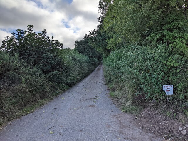
Visitors to Pond Wood can explore its numerous trails, allowing them to immerse themselves in the natural beauty of the area. The woodland is well-maintained, with clear signage and designated paths to ensure the safety of visitors.

Pond Wood is a true gem in the Devon countryside, offering a serene escape from the hustle and bustle of everyday life. Whether it's a leisurely stroll, a bird-watching expedition, or simply a moment of solitude in nature, this woodland has something to offer every visitor.

If you have any feedback on the listing, please let us know in the comments section below.
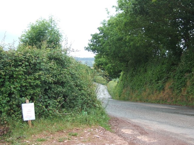
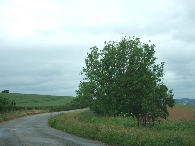
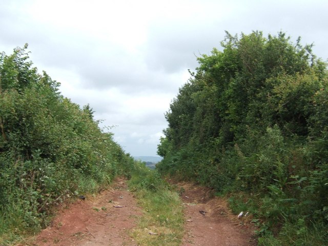
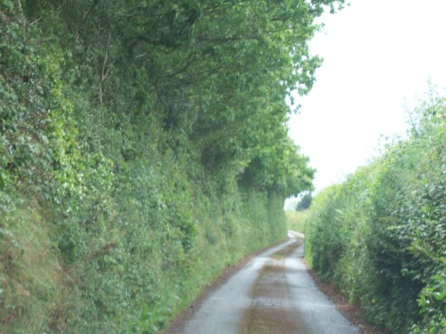
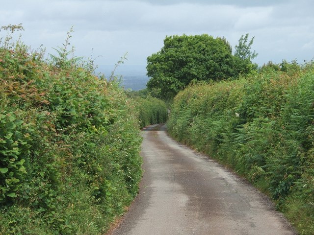
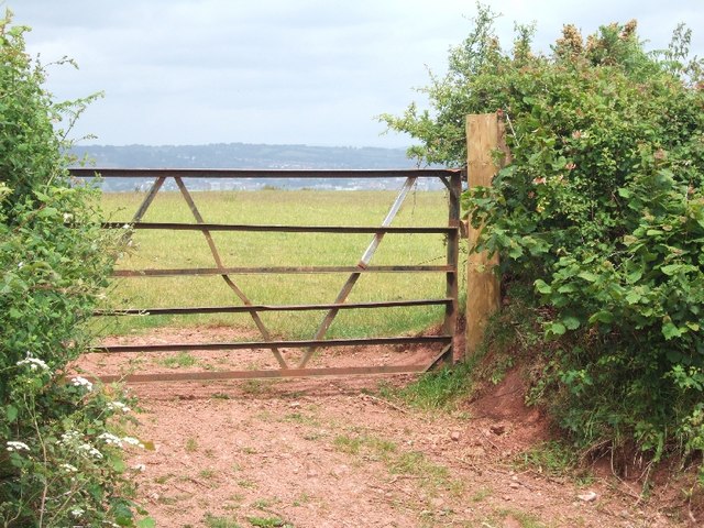
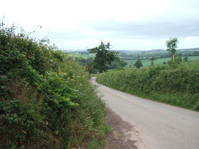
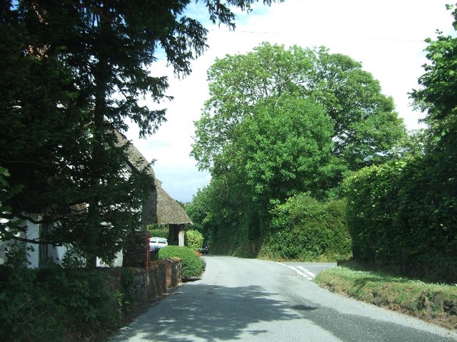
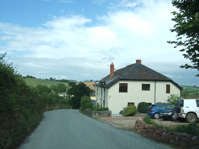
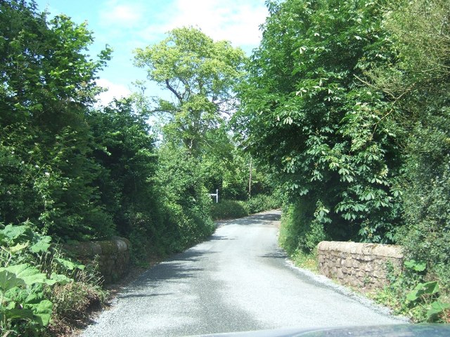
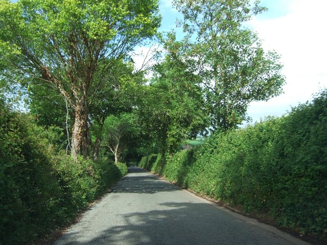
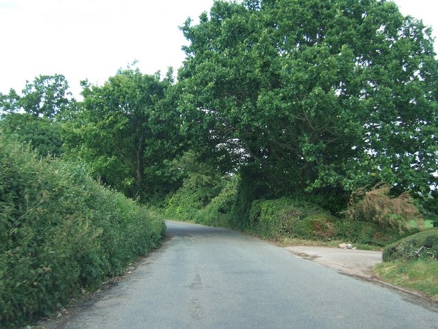
Pond Wood Images

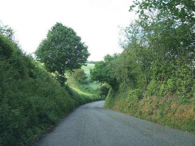
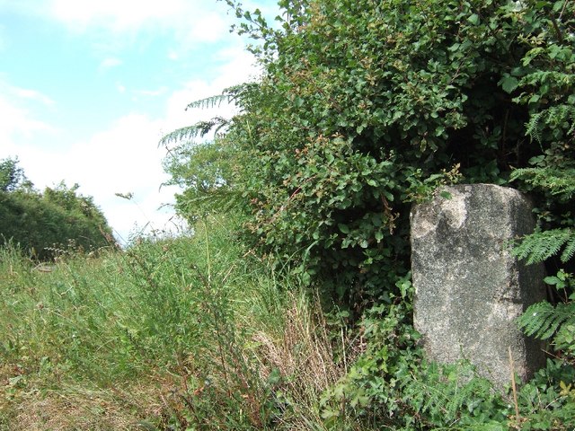
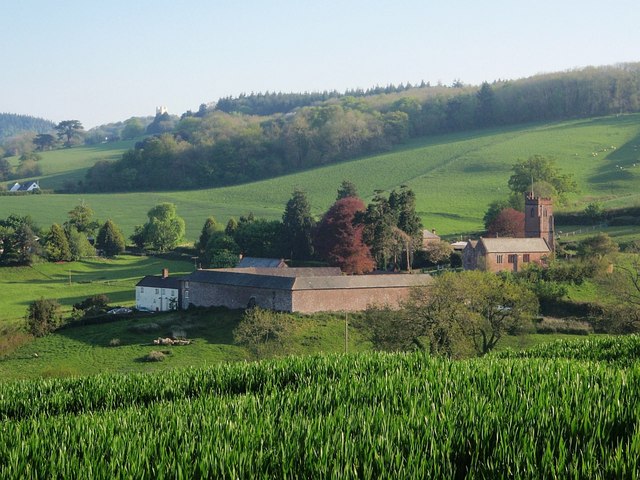
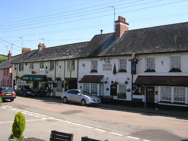
Images are sourced within 2km of 50.677792/-3.561766 or Grid Reference SX8987. Thanks to Geograph Open Source API. All images are credited.

Shillingford St George : Aerial Scenery From a flight inbound for Exeter looking across the countryside.
Shillingford St George : Aerial Scenery
From a flight inbound for Exeter looking across the countryside.
Lane heading to Borough
Gate and fields looking north-east from opposite the lane to Borough
Public footpath running west from Markham Cross Also used as a farm track; the other end is in <a href="https://www.geograph.org.uk/photo/2434416">SX8989 : Footpath to Markham Cross</a>
Public footpath running west from Markham Cross
Also used as a farm track; the other end is in SX8989 : Footpath to Markham Cross
Road south from Markham Cross to Dunchideock
A seat with a view over Exeter There is a good view over Exeter and the Exe valley from this bench (which looks more lavish than the usual public seat).  However, some of the view is of the roofscape of industrial buildings.
A seat with a view over Exeter
There is a good view over Exeter and the Exe valley from this bench (which looks more lavish than the usual public seat). However, some of the view is of the roofscape of industrial buildings.
Footpath to Markham Cross The other end of this short path is in <a href="https://www.geograph.org.uk/photo/2434403">SX8989 : Public footpath running west from Markham Cross</a>
Footpath to Markham Cross
The other end of this short path is in SX8989 : Public footpath running west from Markham Cross
Lane along ridge south of Whiddon Farm
Road leading east from Idestone Cross
Farm gate with a view to Exeter Beyond the gate, there is a view to Exeter, several kilometres away
Farm gate with a view to Exeter
Beyond the gate, there is a view to Exeter, several kilometres away
Road east from Leachway Lane Cross The road leads to Dunchideock
Road east from Leachway Lane Cross
The road leads to Dunchideock
Webberton Cross The road on the right leads to the Lord Haldon Hotel
Webberton Cross
The road on the right leads to the Lord Haldon Hotel
House on the edge of Dunchideock
Dunchideock Bridge
Dunchideock Bridge
Road north-east of Manstree Cross on the way to Ide
Road passing Westbury (entrance on right)
Approaching a sharp bend on the way to Ide
Boundary stone at Markham Cross Presumably a parish boundary between Ide and Shillingford
Boundary stone at Markham Cross
Presumably a parish boundary between Ide and Shillingford
Show me another place!

Pond Wood is located at Grid Ref: SX8987 (Lat: 50.677792, Lng: -3.561766)

Administrative County: Devon

District: Teignbridge

Police Authority: Devon and Cornwall

What 3 Words

///bigger.lower.system. Near Exminster, Devon

Nearby Locations

Clapham Pond Wood

Related Wikis

Shillingford St George

Shillingford St. George is a village on the outskirts of Exeter, East Devon, England. It is about 3 miles south of the City of Exeter. == External links... ==

Dunchideock

Dunchideock ( DUN-chi-dək, dun-CHID-ee-ək) is a small civil parish on the north eastern slopes of the Haldon Hills in Teignbridge, Devon, England. It...

Haldon House

Haldon House (pronounced: "Hol-don") on the eastern side of the Haldon Hills in the parishes of Dunchideock and Kenn, near Exeter in Devon, England, was...

Kennford

Kennford is a village situated in the Teignbridge district of Devon, England. Kennford is four miles (6 km) to the south of Exeter in the civil parish...

Nearby Amenities

Located within 500m of 50.677792,-3.561766
Power: pole
Lat/Long: 50.6764903/-3.5677055
Power: pole
Lat/Long: 50.6763407/-3.5660961
Power: pole
Lat/Long: 50.676203/-3.5645485
Power: pole
Lat/Long: 50.6759549/-3.5592082
Power: pole
Lat/Long: 50.6756506/-3.557438
Power: pole
Lat/Long: 50.6756795/-3.5572073
Addr City: Exeter
Addr Housename: New Barn Farm
Addr Postcode: EX2 9QR
Addr Street: Manstree Road
Addr Suburb: Shillingford St George
Lat/Long: 50.6803345/-3.5581514
Boyces Nursery
Shop: garden_centre
Lat/Long: 50.6808349/-3.5574786
Addr Housename: Orchard Cottage
Lat/Long: 50.678533/-3.5558094
The data included in this document is from www.openstreetmap.org. The data is made available under ODbL.

Have you been to Pond Wood?

Leave your review of Pond Wood below (or comments, questions and feedback).