Huntland Wood
Wood, Forest in Devon Mid Devon
England
Huntland Wood
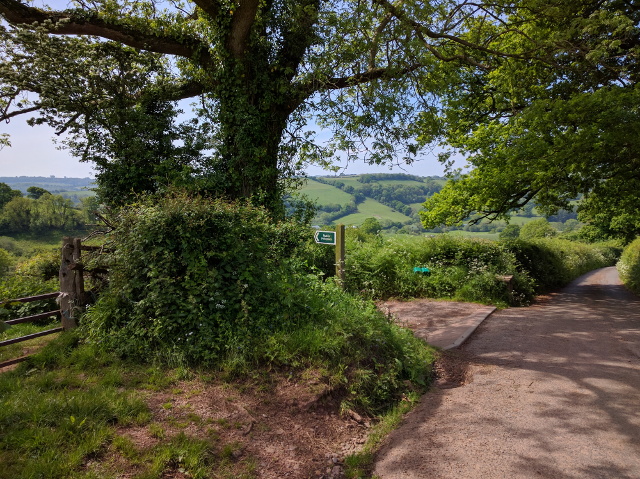
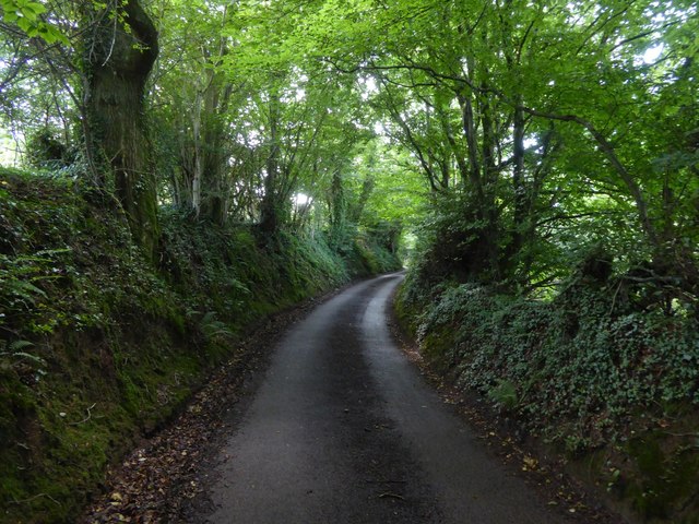
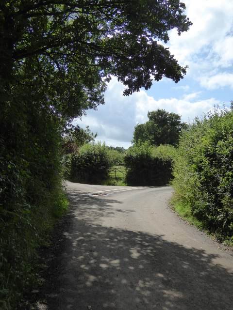
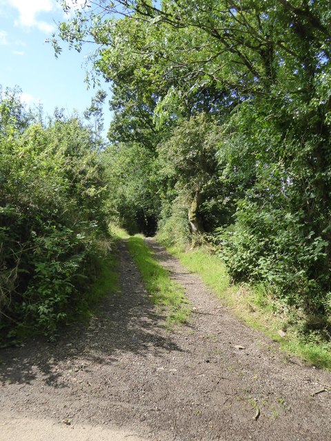
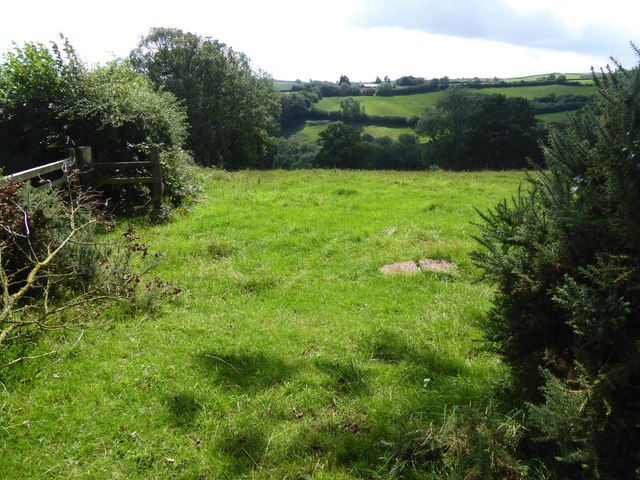
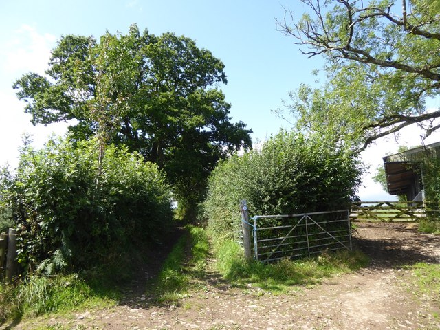
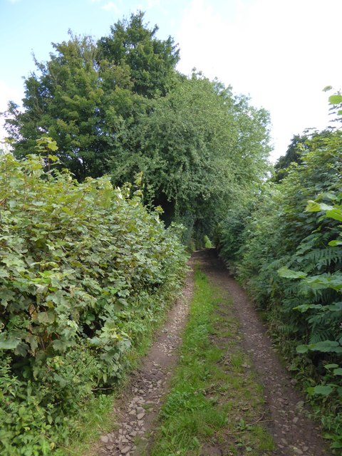
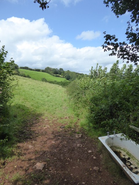
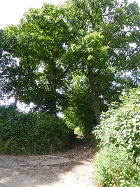
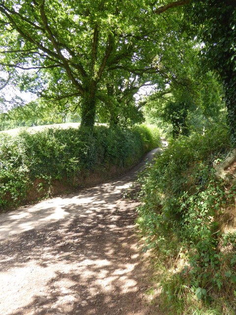
Huntland Wood is a picturesque forest located in Devon, England. Covering an area of approximately 200 acres, this woodland is known for its natural beauty and diverse ecosystem. Huntland Wood is situated in the heart of the Devon countryside, making it a popular destination for nature enthusiasts and hikers.
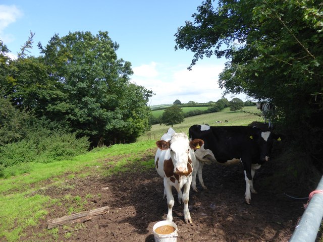
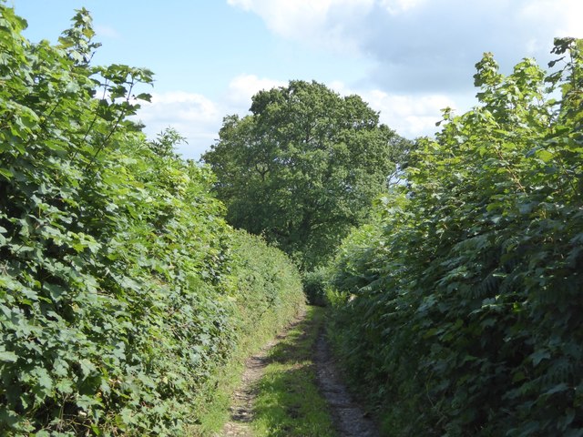
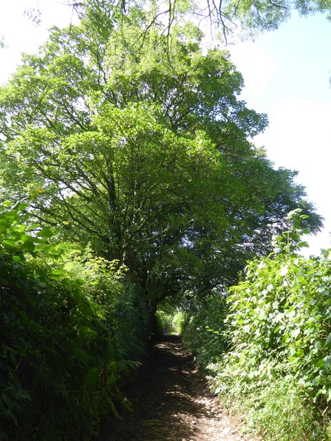
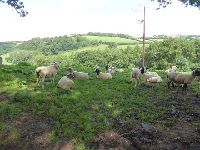
The forest is primarily composed of a mix of broadleaf trees, including oak, beech, and birch, creating a vibrant and colorful landscape throughout the year. These trees provide shelter and a habitat for a wide range of wildlife, including deer, foxes, and various species of birds.
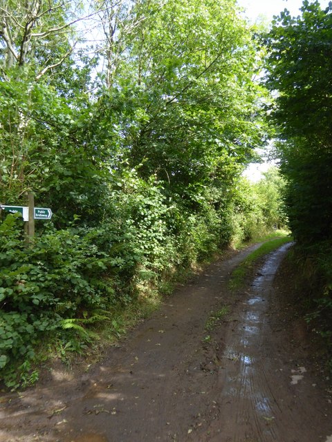
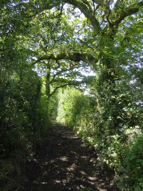
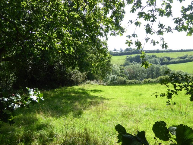
The woodland is crisscrossed by a network of well-maintained trails, allowing visitors to explore the area and enjoy its serene atmosphere. There are also several designated picnic areas and viewpoints, providing opportunities for visitors to relax and take in the stunning views. Additionally, the forest boasts a small stream that meanders through its heart, adding to its natural charm.
Huntland Wood is managed by the local forestry commission, ensuring its preservation and protection for future generations. As part of their conservation efforts, the commission regularly organizes educational programs and guided tours to raise awareness about the importance of sustainable forestry practices and the preservation of natural habitats.
Overall, Huntland Wood in Devon is a tranquil and enchanting forest that offers a peaceful retreat for individuals seeking solace in nature. With its diverse flora and fauna, well-maintained trails, and commitment to conservation, it is a must-visit destination for anyone exploring the Devon countryside.
If you have any feedback on the listing, please let us know in the comments section below.
Huntland Wood Images
Images are sourced within 2km of 50.885382/-3.5394692 or Grid Reference SS9110. Thanks to Geograph Open Source API. All images are credited.

Huntland Wood is located at Grid Ref: SS9110 (Lat: 50.885382, Lng: -3.5394692)
Administrative County: Devon
District: Mid Devon
Police Authority: Devon and Cornwall
What 3 Words
///cropping.squabbles.quit. Near Tiverton, Devon
Nearby Locations
Related Wikis

The Fisherman's Cot
The Fisherman's Cot is an inn on the A3072 road to the northwest of Bickleigh near Tiverton, in northeastern Devon. It is operated by Marston's Inns and...

Devon Railway Centre
The Devon Railway Centre is in the village of Bickleigh in Mid Devon, England, at the former Cadeleigh railway station on the closed Great Western Railway...

Calverleigh
Calverleigh (anciently Calwoodleigh) is a village and former civil parish and manor, now in the parish of Loxbeare, in the Mid Devon district, in the county...

St Paul's Church, Tiverton
St Paul's Church, Tiverton, is a Grade II listed parish church in the Church of England in Tiverton, Devon. == History == The church was built between...
Nearby Amenities
Located within 500m of 50.885382,-3.5394692Have you been to Huntland Wood?
Leave your review of Huntland Wood below (or comments, questions and feedback).