Great Copse
Wood, Forest in Devon Mid Devon
England
Great Copse

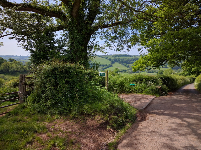
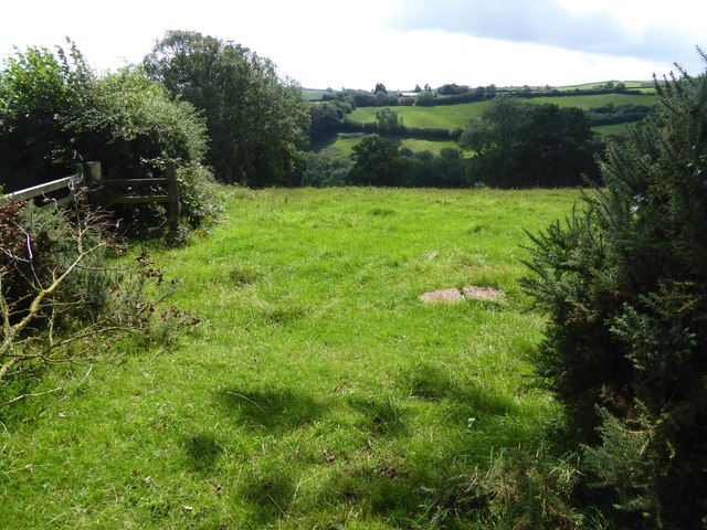
Great Copse is a charming woodland area located in the county of Devon, England. Situated near the village of Devon, this forest is known for its breathtaking beauty and tranquil ambiance. Spanning over an area of approximately 50 hectares, Great Copse is a haven for nature enthusiasts, hikers, and wildlife lovers.
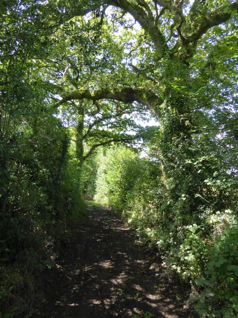
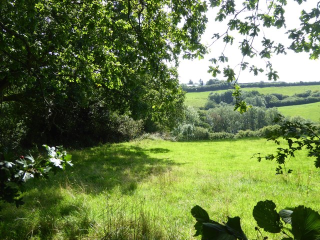
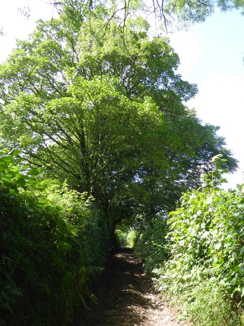
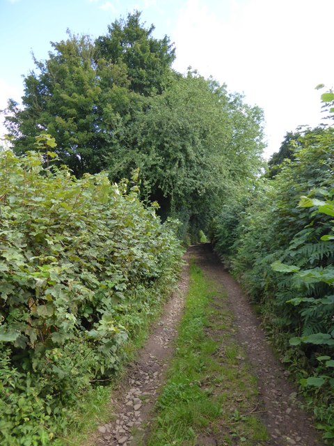
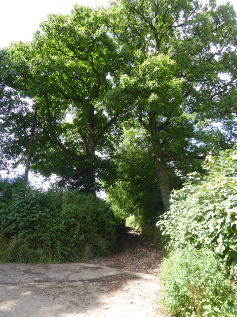
The woodland is predominantly composed of deciduous trees, including oak, beech, and ash, creating a rich tapestry of colors during the autumn months. The forest floor is adorned with an array of wildflowers, adding to the scenic charm of the area. The dense canopy of trees provides a cool and shaded environment, even during the hot summer months.
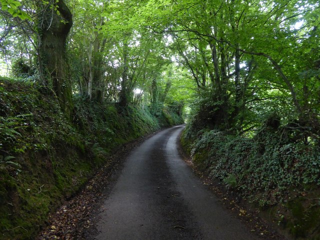
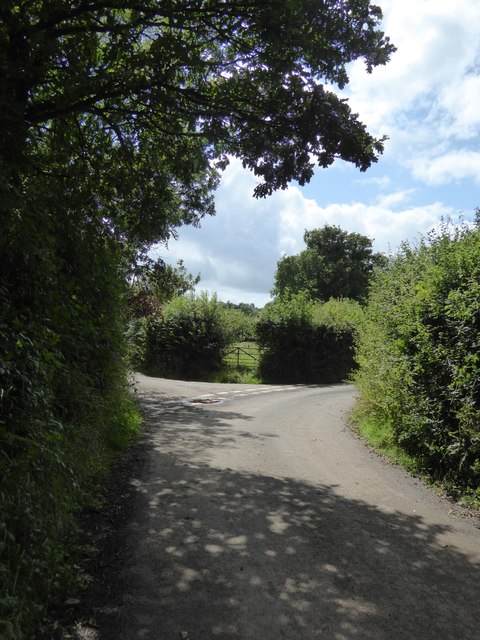
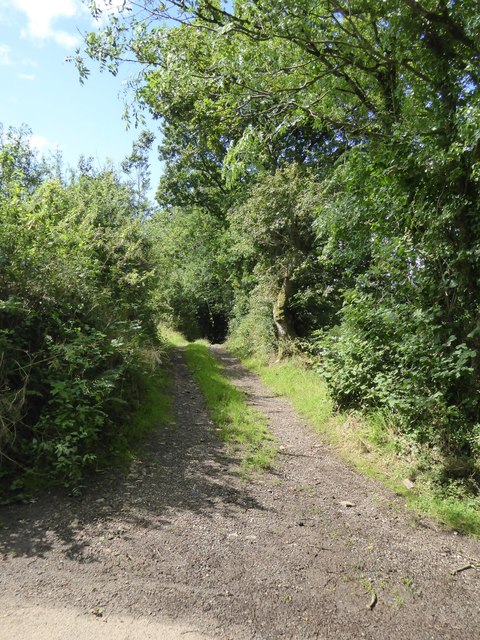
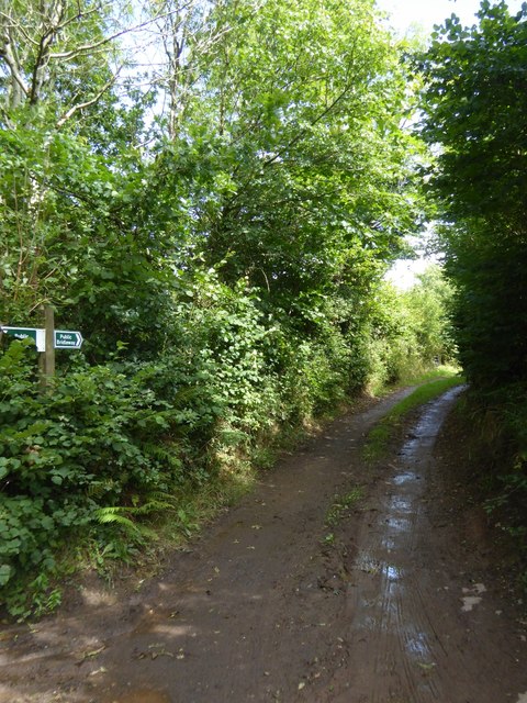
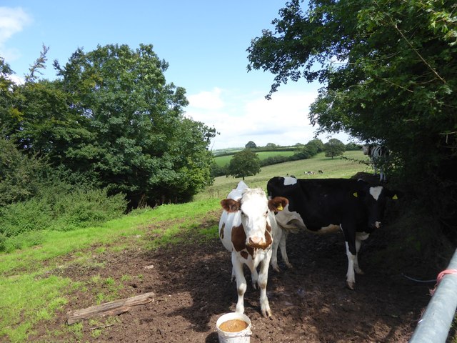
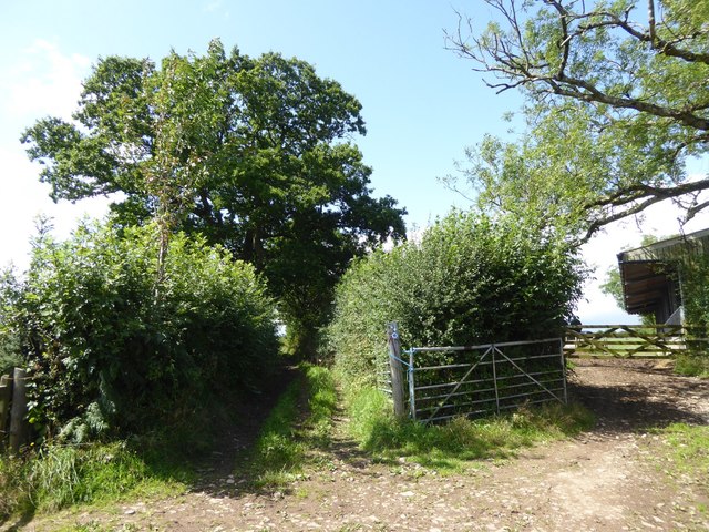
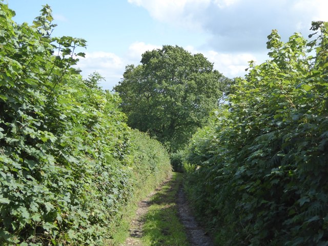
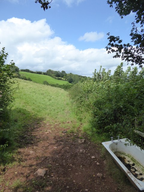
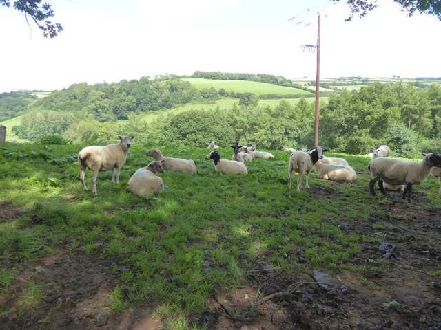
Great Copse is crisscrossed with a network of well-maintained trails, making it an ideal destination for walkers and hikers of all levels of experience. These trails offer breathtaking views of the surrounding countryside and provide opportunities to spot local wildlife, such as deer, foxes, and a variety of bird species.
The forest also boasts several picnic areas, allowing visitors to relax and enjoy a meal amidst the peaceful surroundings. Additionally, there are designated camping spots for those looking to spend a night under the stars.
Great Copse is not only a haven for wildlife and outdoor enthusiasts but also plays a crucial role in maintaining the local ecosystem. It acts as a valuable carbon sink, helping to mitigate the effects of climate change, and provides habitat for a diverse range of plant and animal species.
Overall, Great Copse is a natural gem in Devon, offering a serene and immersive experience in the heart of nature.
If you have any feedback on the listing, please let us know in the comments section below.
Great Copse Images
Images are sourced within 2km of 50.881514/-3.5416019 or Grid Reference SS9110. Thanks to Geograph Open Source API. All images are credited.

Great Copse is located at Grid Ref: SS9110 (Lat: 50.881514, Lng: -3.5416019)
Administrative County: Devon
District: Mid Devon
Police Authority: Devon and Cornwall
What 3 Words
///dairies.singer.waged. Near Tiverton, Devon
Nearby Locations
Related Wikis

The Fisherman's Cot
The Fisherman's Cot is an inn on the A3072 road to the northwest of Bickleigh near Tiverton, in northeastern Devon. It is operated by Marston's Inns and...

Devon Railway Centre
The Devon Railway Centre is in the village of Bickleigh in Mid Devon, England, at the former Cadeleigh railway station on the closed Great Western Railway...
Cadeleigh
Cadeleigh is a small village in the county of Devon in England. It sits in the hills above the valley of the River Exe and is about 15 km (9 miles) north...
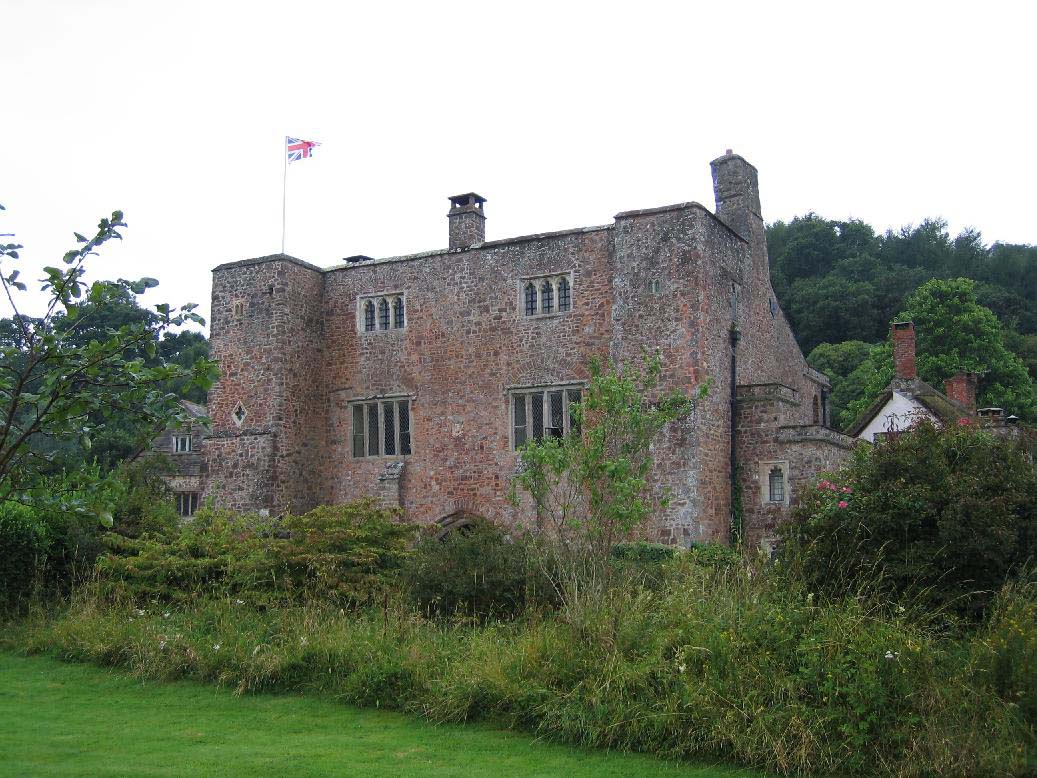
Bickleigh Castle
Bickleigh Castle is a fortified manor house that stands on the banks of the River Exe at Bickleigh in Devon, England. Once considerably larger, Bickleigh...

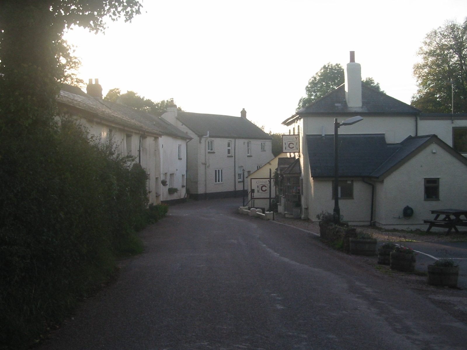
Bickleigh, Mid Devon
Bickleigh is a village and civil parish in the Mid Devon district of Devon, England, about four miles south of Tiverton. It is in the former hundred of...
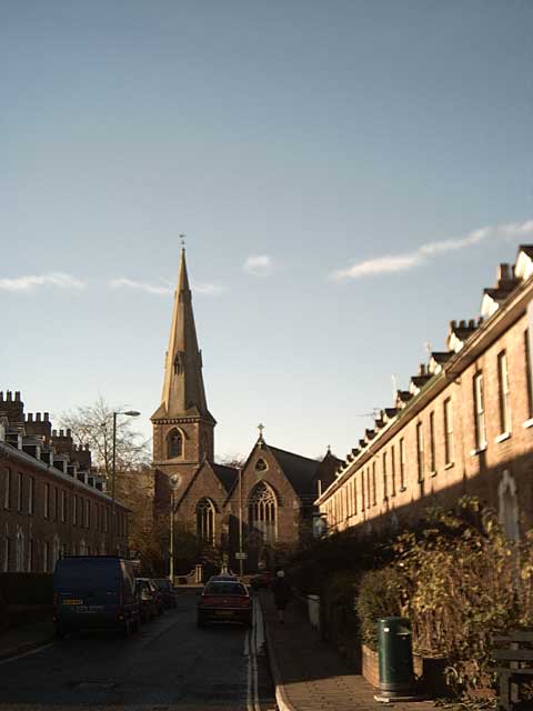
St Paul's Church, Tiverton
St Paul's Church, Tiverton, is a Grade II listed parish church in the Church of England in Tiverton, Devon. == History == The church was built between...

Mid Devon
Mid Devon is a local government district in Devon, England. The council is based in the district's largest town of Tiverton. The district also contains...

Calverleigh
Calverleigh (anciently Calwoodleigh) is a village and former civil parish and manor, now in the parish of Loxbeare, in the Mid Devon district, in the county...
Nearby Amenities
Located within 500m of 50.881514,-3.5416019Have you been to Great Copse?
Leave your review of Great Copse below (or comments, questions and feedback).