Annaside

Settlement in Cumberland Copeland

England

Annaside

Ordnance Survey Cut Mark This OS cut mark can be found on a farm building at Hyton. It marks a point 18.712m above mean sea level.
Ordnance Survey Cut Mark Credit: Adrian Dust

Annaside is a small village located in the county of Cumberland, in the northwestern region of England. Situated on the picturesque coastline of the Irish Sea, it falls within the administrative boundaries of the Borough of Copeland. With a population of around 200 residents, Annaside maintains a tight-knit community atmosphere.

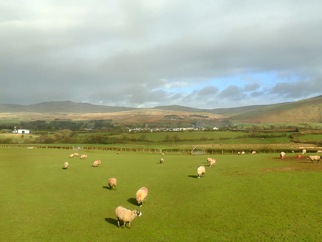
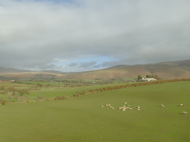
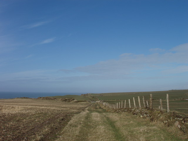
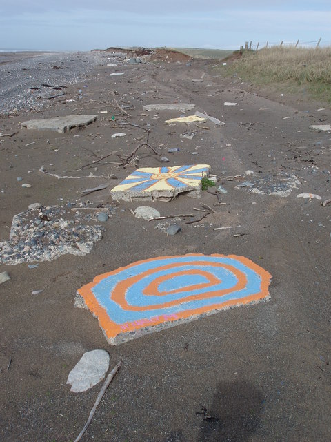
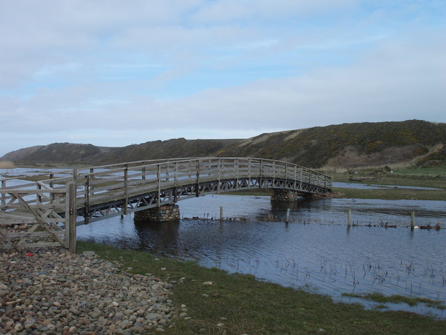
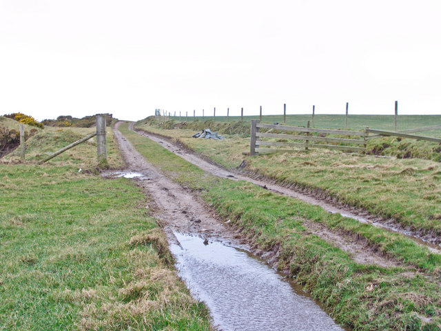
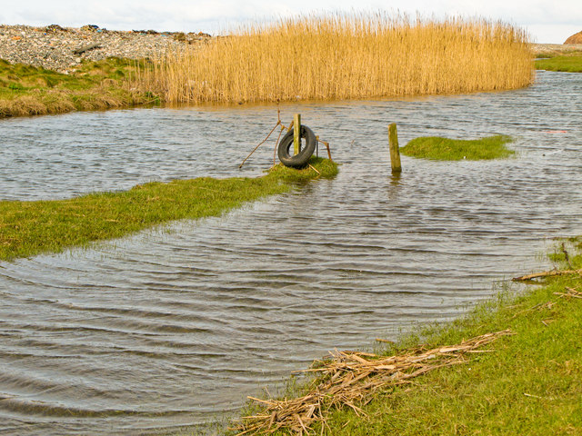
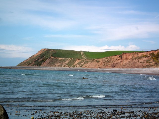
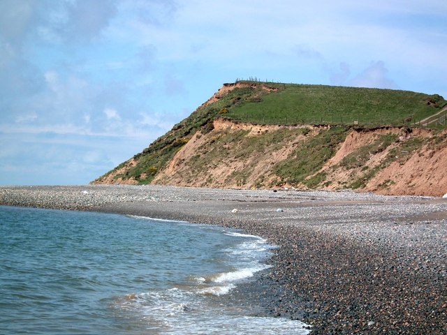
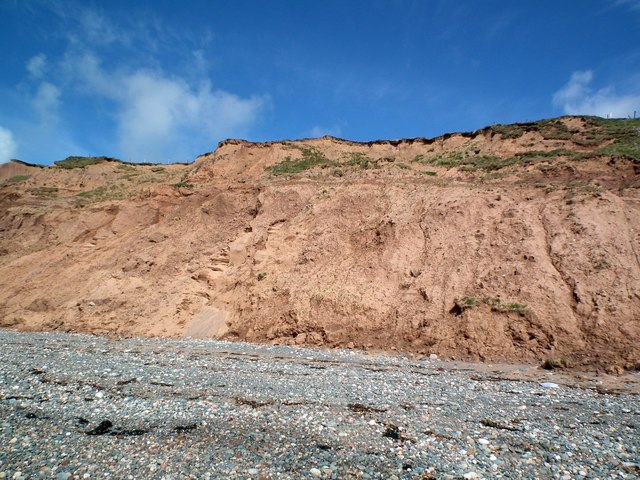
The village is renowned for its stunning natural beauty, boasting panoramic views of the sea and surrounding countryside. Its tranquil beaches and rocky shores provide a haven for wildlife enthusiasts and nature lovers. The area is home to an array of bird species, including oystercatchers and curlews, making it an ideal spot for birdwatching.

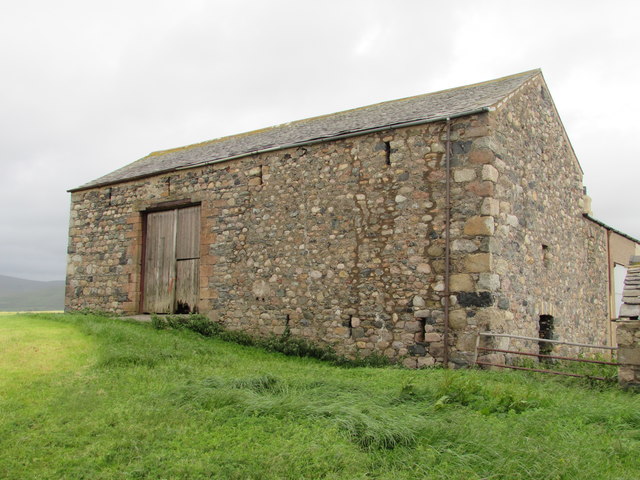
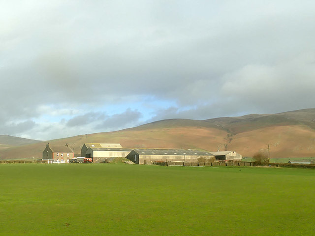
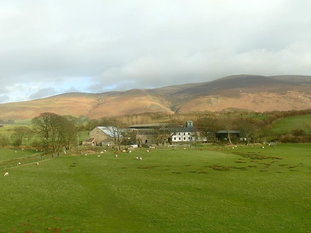
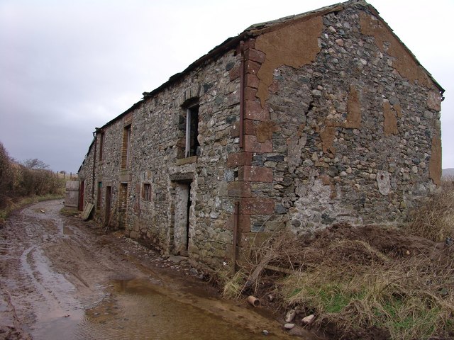
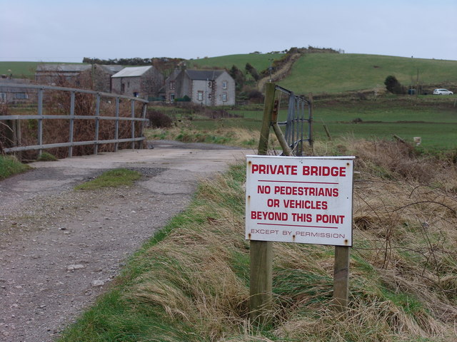
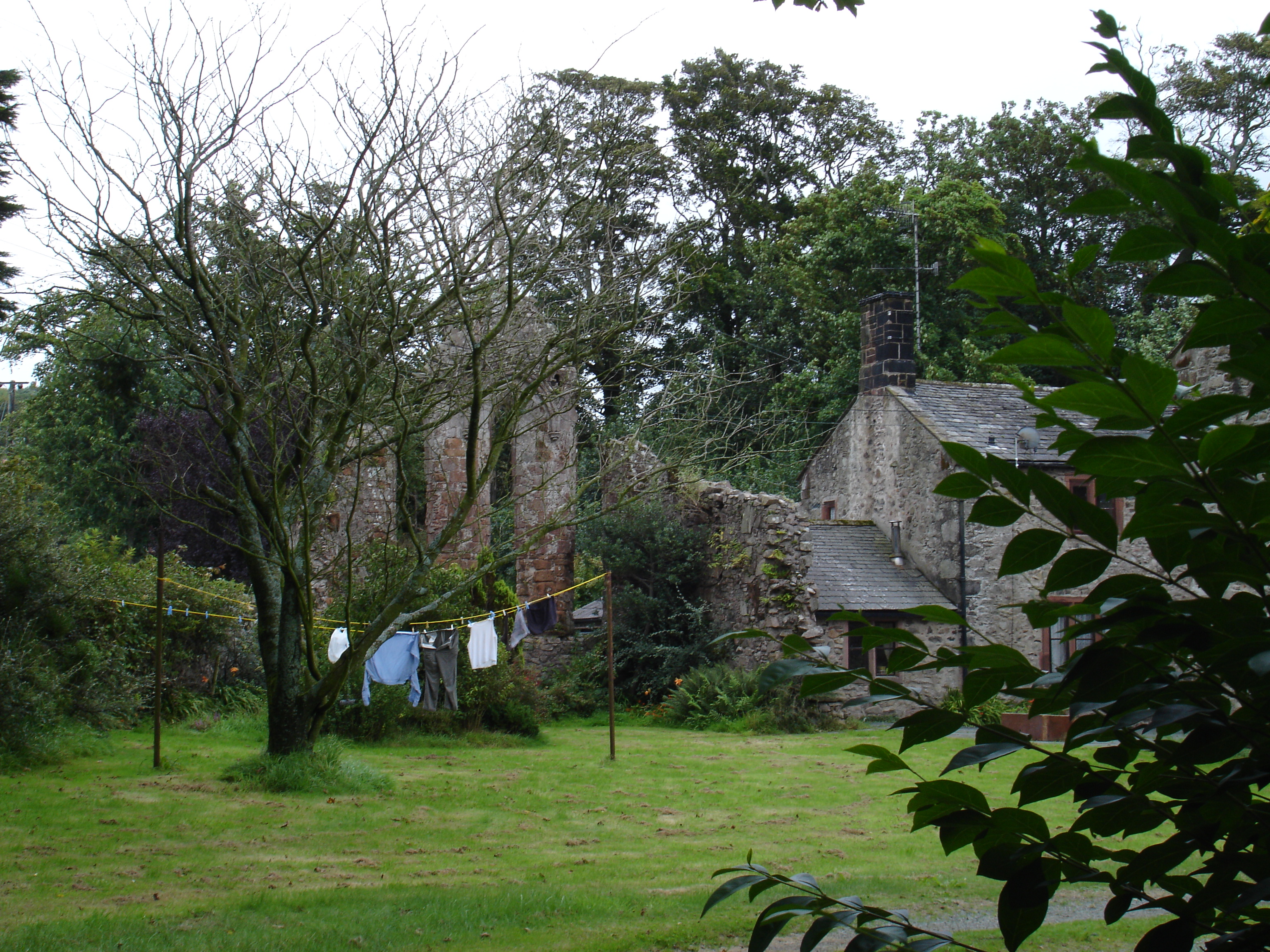
Historically, Annaside was primarily a fishing and farming community. Although the fishing industry has declined in recent years, remnants of its maritime heritage can still be seen in the village. The quaint harbor, with its collection of fishing boats, is a reminder of the village's past.

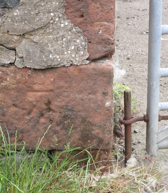
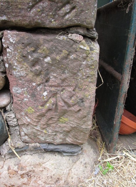
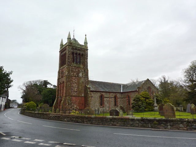
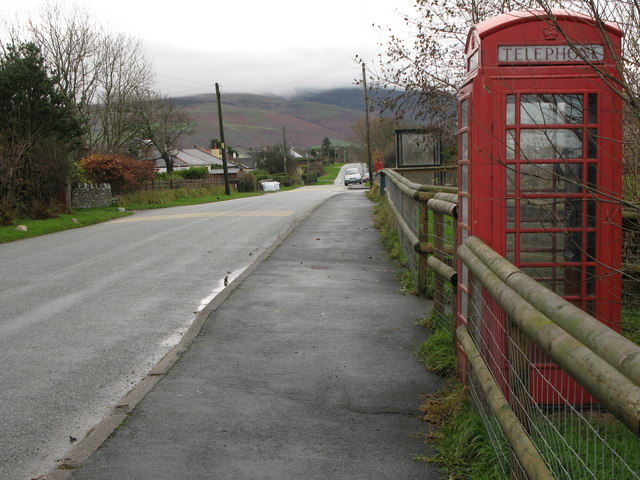
The village itself consists of a scattering of houses, some of which date back several centuries. The architecture in Annaside is predominantly traditional, with charming stone cottages and farmhouses dotting the landscape.

While Annaside may be small in size, it offers a peaceful and idyllic lifestyle for its inhabitants. The village benefits from a strong sense of community spirit, with various social events and activities organized throughout the year.

Overall, Annaside is a hidden gem on the Cumberland coast, welcoming visitors with its natural charm and warm community atmosphere.

If you have any feedback on the listing, please let us know in the comments section below.
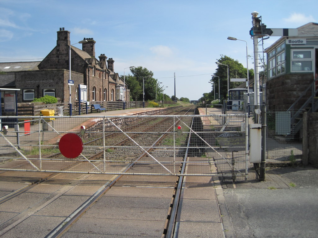
Annaside Images

Images are sourced within 2km of 54.266692/-3.397053 or Grid Reference SD0986. Thanks to Geograph Open Source API. All images are credited.

Ordnance Survey Cut Mark This OS cut mark can be found on a farm building at Hyton. It marks a point 18.712m above mean sea level.
Ordnance Survey Cut Mark
This OS cut mark can be found on a farm building at Hyton. It marks a point 18.712m above mean sea level.
Ordnance Survey Cut Mark This OS cut mark can be found on the south facing barn at Hyton Farm. It marks a point 19.449m above mean sea level.
Ordnance Survey Cut Mark
This OS cut mark can be found on the south facing barn at Hyton Farm. It marks a point 19.449m above mean sea level.
Barn at High Kiskin Built prodominantly of river washed or glaciallyy rounded cobbles with a few squared quoins at the corners which must have been transported several miles from there quarry of origin.
Barn at High Kiskin
Built prodominantly of river washed or glaciallyy rounded cobbles with a few squared quoins at the corners which must have been transported several miles from there quarry of origin.
Ordnance Survey Cut Mark This OS cut mark can be found on the west face of the Railway Bridge. It marks a point 12.369m above mean sea level.
Ordnance Survey Cut Mark
This OS cut mark can be found on the west face of the Railway Bridge. It marks a point 12.369m above mean sea level.
View towards Bootle village The western fells of the Lake District form the backdrop to this view from a train on the Cumbrian Coast line.
View towards Bootle village
The western fells of the Lake District form the backdrop to this view from a train on the Cumbrian Coast line.
View towards Mount Rivers Farm The western fells of the Lake District form the backdrop to this view from a train on the Cumbrian Coast line.
View towards Mount Rivers Farm
The western fells of the Lake District form the backdrop to this view from a train on the Cumbrian Coast line.
Old Hyton Farm The western fells of the Lake District form the backdrop to this view from a train on the Cumbrian Coast line.
Old Hyton Farm
The western fells of the Lake District form the backdrop to this view from a train on the Cumbrian Coast line.
Holmegate Farm The western fells of the Lake District form the backdrop to this view from a train on the Cumbrian Coast line.
Holmegate Farm
The western fells of the Lake District form the backdrop to this view from a train on the Cumbrian Coast line.
Track along top of Annaside banks
Funky painted slabs on beach These random painted slabs appear to be discarded pieces of concrete which some artist has adopted - they do brighten up a rather dull piece of beach and are found where the cumbria coastal way makes way back to the beach at SD 086867
Funky painted slabs on beach
These random painted slabs appear to be discarded pieces of concrete which some artist has adopted - they do brighten up a rather dull piece of beach and are found where the cumbria coastal way makes way back to the beach at SD 086867
Beautiful footbridge This bridge is obviously only there for the benefit of those on the Cumbria Coastal Way but is extremely well built and appears to cross a minor pond - it is marked clearly on the map.
Beautiful footbridge
This bridge is obviously only there for the benefit of those on the Cumbria Coastal Way but is extremely well built and appears to cross a minor pond - it is marked clearly on the map.
Outbuilding on Syke Beck Farm Vernacular south Cumbrian coastal architecture still in use.
Outbuilding on Syke Beck Farm
Vernacular south Cumbrian coastal architecture still in use.
Bridge over river Annas Annaside farm in the background.
Bridge over river Annas
Annaside farm in the background.
Annaside Banks on Cumbria Coastal Way A windy, wet  March day in the coastal Lake District.
Annaside Banks on Cumbria Coastal Way
A windy, wet March day in the coastal Lake District.
River Annas, West Cumbria The river makes a meal of getting to the Irish sea here; it flows northwest behind a substantial spit before finally breaking free.
River Annas, West Cumbria
The river makes a meal of getting to the Irish sea here; it flows northwest behind a substantial spit before finally breaking free.
Cliffs near Bog Hole The pebbles section of the Cumbria Coastal way will shortly end. The picture shows the Way continuing over the cliffs along a farm track.
Cliffs near Bog Hole
The pebbles section of the Cumbria Coastal way will shortly end. The picture shows the Way continuing over the cliffs along a farm track.
A closer view of the cliffs near Bog Hole The erosion of the cliffs on this stretch of the Cumbria Coastal Way makes any attempt at climbing them a very dangerous proposition.
A closer view of the cliffs near Bog Hole
The erosion of the cliffs on this stretch of the Cumbria Coastal Way makes any attempt at climbing them a very dangerous proposition.
Badly eroded cliffs The footpath is over the cliffs.
Badly eroded cliffs
The footpath is over the cliffs.
Show me another place!

Annaside is located at Grid Ref: SD0986 (Lat: 54.266692, Lng: -3.397053)

Administrative County: Cumbria

District: Copeland

Police Authority: Cumbria

What 3 Words

///opinion.bless.baroness. Near Haverigg, Cumbria

Nearby Locations

Annaside Kiskin

Related Wikis

Nearby Amenities

Located within 500m of 54.266692,-3.397053
Created By: almien_coastlines
Source: PGS
Lat/Long: 54.2676862/-3.4045102
Source: PGS
Lat/Long: 54.2674664/-3.4043437
Source: PGS
Lat/Long: 54.2672124/-3.4041951
Source: PGS
Lat/Long: 54.2664793/-3.4039963
Source: PGS
Lat/Long: 54.2650088/-3.4038535
Source: PGS
Lat/Long: 54.2644661/-3.4035238
Barrier: stile
Lat/Long: 54.2687655/-3.3903469
Power: tower
Lat/Long: 54.2660293/-3.3894748
Power: tower
Lat/Long: 54.2685277/-3.390781
Power: pole
Lat/Long: 54.2709399/-3.3955135
Power: pole
Lat/Long: 54.2702182/-3.3961094
Power: pole
Lat/Long: 54.2694777/-3.3966534
Power: pole
Lat/Long: 54.2671281/-3.3983909
Power: pole
Lat/Long: 54.2666284/-3.3992684
Power: pole
Lat/Long: 54.2687681/-3.3972135
Power: pole
Lat/Long: 54.2678723/-3.3978714
Annaside
Place: hamlet
Wikidata: Q4768023
Lat/Long: 54.2673743/-3.397751
Barrier: stile
Lat/Long: 54.2687313/-3.3942792
Power: pole
Lat/Long: 54.2694688/-3.3974325
Power: pole
Lat/Long: 54.2708741/-3.3977368
Power: pole
Lat/Long: 54.2708761/-3.3984106
The data included in this document is from www.openstreetmap.org. The data is made available under ODbL.

Have you been to Annaside?

Leave your review of Annaside below (or comments, questions and feedback).