Kiskin

Settlement in Cumberland Copeland

England

Kiskin

Ordnance Survey Cut Mark This OS cut mark can be found on a farm building at Hyton. It marks a point 18.712m above mean sea level.
Ordnance Survey Cut Mark Credit: Adrian Dust

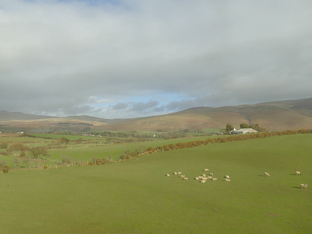
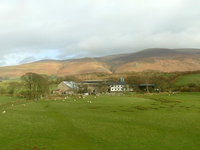
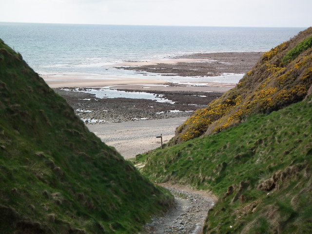
Kiskin is a small village located in the county of Cumberland, situated in the northwest region of England. It is nestled amidst picturesque countryside, surrounded by rolling hills and lush green fields. With a population of around 500 residents, Kiskin exudes a peaceful and idyllic charm.

The village dates back to medieval times, and many of its buildings still retain their original character and architectural features. The local church, St. Mary's, is a prominent landmark, boasting beautiful stained glass windows and a tranquil cemetery.

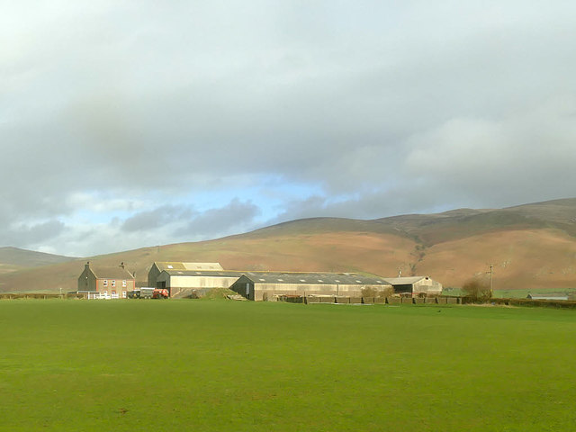
Kiskin is primarily an agricultural community, with farming being the main source of livelihood for its residents. The fertile soil and favorable climate contribute to the success of crops such as wheat, barley, and potatoes. In recent years, there has been a surge in organic farming practices, with more farmers adopting sustainable methods.

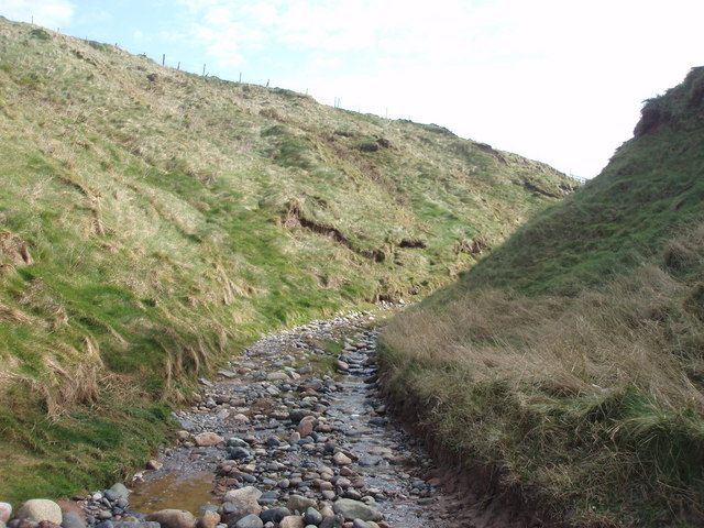
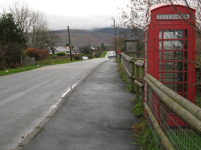
Despite its small size, Kiskin offers its residents a range of amenities. The village has a primary school, a community center, and a few small shops that cater to daily needs. For recreational activities, there are several walking and cycling trails that meander through the stunning countryside, providing residents and visitors with an opportunity to explore the natural beauty of the area.

Kiskin is also known for its close-knit community spirit, with various events and festivals organized throughout the year, including an annual summer fair and a harvest festival. The residents take pride in their village and work together to maintain its pristine charm.

In conclusion, Kiskin is a picturesque village in Cumberland, England, known for its agricultural heritage, natural beauty, and strong sense of community.

If you have any feedback on the listing, please let us know in the comments section below.
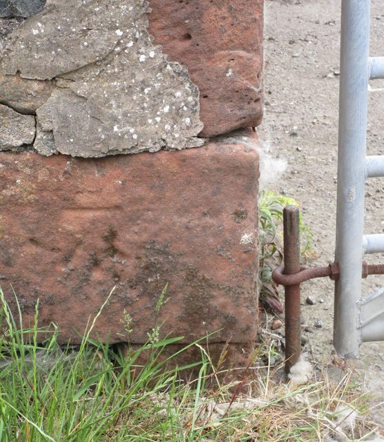
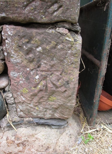
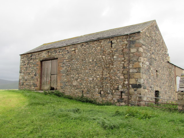
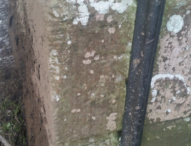
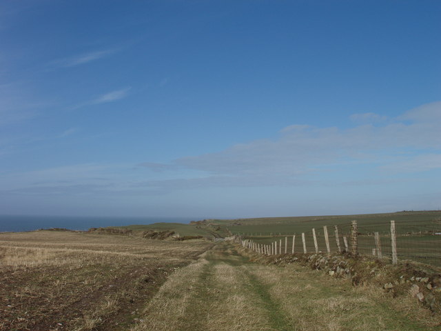
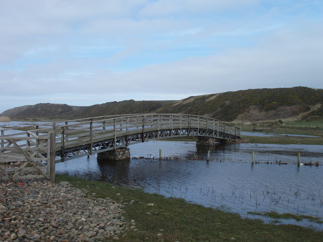
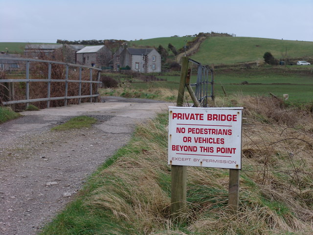
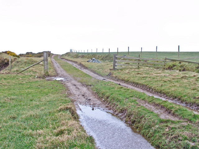
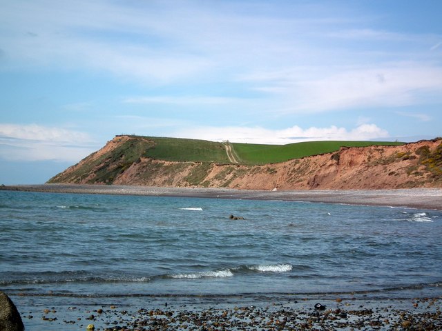
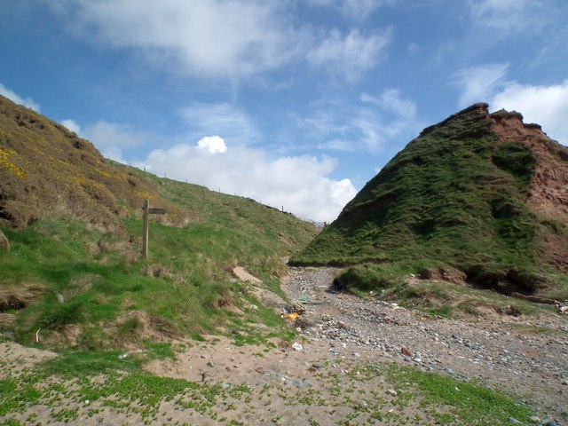
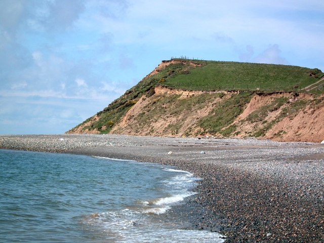
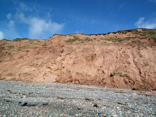
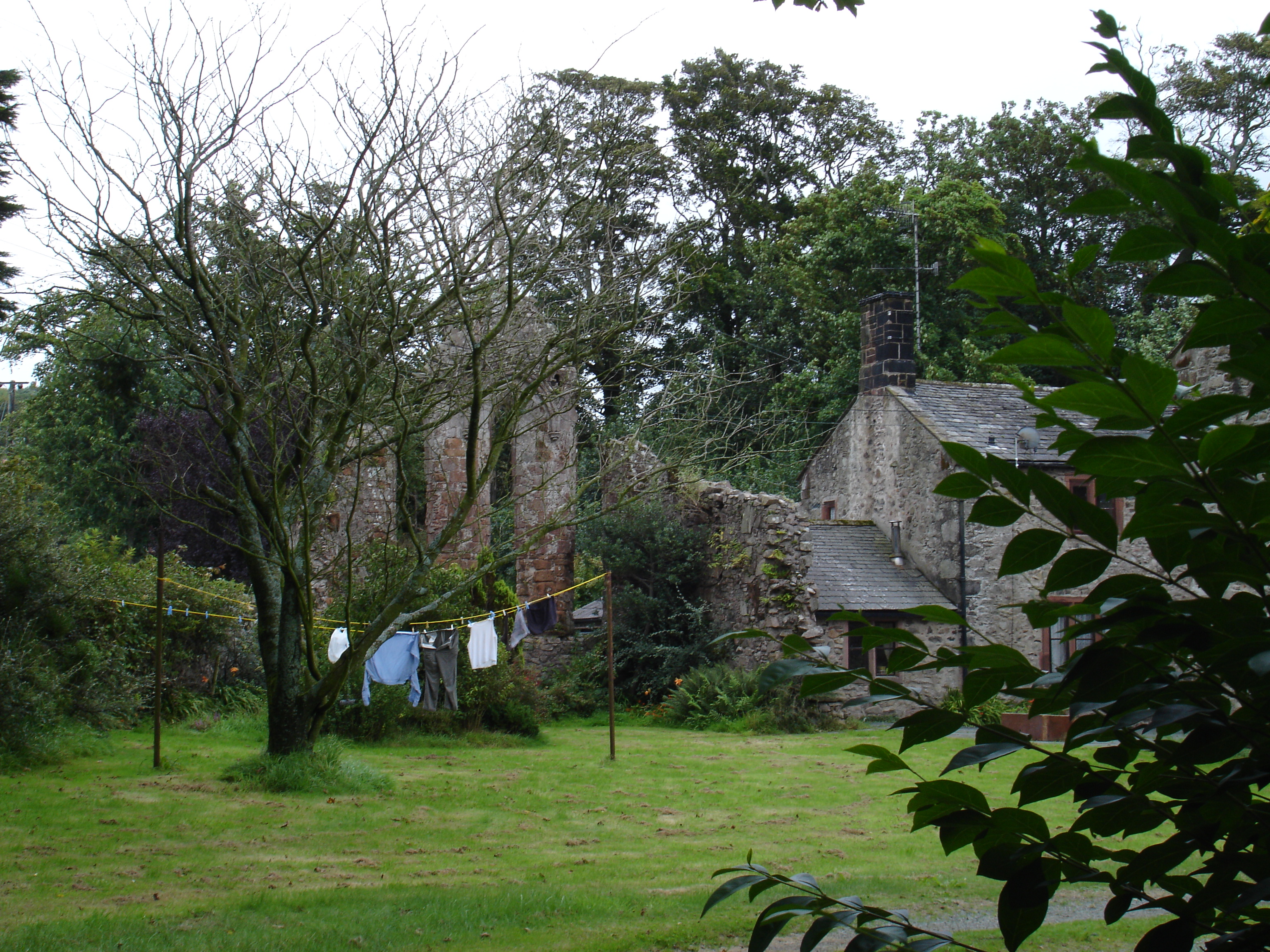
Kiskin Images

Images are sourced within 2km of 54.261541/-3.3985378 or Grid Reference SD0986. Thanks to Geograph Open Source API. All images are credited.

Ordnance Survey Cut Mark This OS cut mark can be found on a farm building at Hyton. It marks a point 18.712m above mean sea level.
Ordnance Survey Cut Mark
This OS cut mark can be found on a farm building at Hyton. It marks a point 18.712m above mean sea level.
Ordnance Survey Cut Mark This OS cut mark can be found on the south facing barn at Hyton Farm. It marks a point 19.449m above mean sea level.
Ordnance Survey Cut Mark
This OS cut mark can be found on the south facing barn at Hyton Farm. It marks a point 19.449m above mean sea level.
Barn at High Kiskin Built prodominantly of river washed or glaciallyy rounded cobbles with a few squared quoins at the corners which must have been transported several miles from there quarry of origin.
Barn at High Kiskin
Built prodominantly of river washed or glaciallyy rounded cobbles with a few squared quoins at the corners which must have been transported several miles from there quarry of origin.
Ordnance Survey Cut Mark This OS cut mark can be found on the west face of the Railway Bridge. It marks a point 12.369m above mean sea level.
Ordnance Survey Cut Mark
This OS cut mark can be found on the west face of the Railway Bridge. It marks a point 12.369m above mean sea level.
View towards Mount Rivers Farm The western fells of the Lake District form the backdrop to this view from a train on the Cumbrian Coast line.
View towards Mount Rivers Farm
The western fells of the Lake District form the backdrop to this view from a train on the Cumbrian Coast line.
Old Hyton Farm The western fells of the Lake District form the backdrop to this view from a train on the Cumbrian Coast line.
Old Hyton Farm
The western fells of the Lake District form the backdrop to this view from a train on the Cumbrian Coast line.
Holmegate Farm The western fells of the Lake District form the backdrop to this view from a train on the Cumbrian Coast line.
Holmegate Farm
The western fells of the Lake District form the backdrop to this view from a train on the Cumbrian Coast line.
Track to Gutterby from beach This track cuts into the dunes in the top right of the grid square  and is clearly identifiable and indeed is part of the Cumbria Coastal Way!
Track to Gutterby from beach
This track cuts into the dunes in the top right of the grid square and is clearly identifiable and indeed is part of the Cumbria Coastal Way!
Track along top of Annaside banks
Funky painted slabs on beach These random painted slabs appear to be discarded pieces of concrete which some artist has adopted - they do brighten up a rather dull piece of beach and are found where the cumbria coastal way makes way back to the beach at SD 086867
Funky painted slabs on beach
These random painted slabs appear to be discarded pieces of concrete which some artist has adopted - they do brighten up a rather dull piece of beach and are found where the cumbria coastal way makes way back to the beach at SD 086867
Beautiful footbridge This bridge is obviously only there for the benefit of those on the Cumbria Coastal Way but is extremely well built and appears to cross a minor pond - it is marked clearly on the map.
Beautiful footbridge
This bridge is obviously only there for the benefit of those on the Cumbria Coastal Way but is extremely well built and appears to cross a minor pond - it is marked clearly on the map.
Bridge over river Annas Annaside farm in the background.
Bridge over river Annas
Annaside farm in the background.
Annaside Banks on Cumbria Coastal Way A windy, wet  March day in the coastal Lake District.
Annaside Banks on Cumbria Coastal Way
A windy, wet March day in the coastal Lake District.
Cliffs near Bog Hole The pebbles section of the Cumbria Coastal way will shortly end. The picture shows the Way continuing over the cliffs along a farm track.
Cliffs near Bog Hole
The pebbles section of the Cumbria Coastal way will shortly end. The picture shows the Way continuing over the cliffs along a farm track.
Cumbria Coastal Way finally leaves the beach After miles of pebbles the CCW heads inland. Gutterby is straight ahead. CCW is to the left over the cliffs.
Cumbria Coastal Way finally leaves the beach
After miles of pebbles the CCW heads inland. Gutterby is straight ahead. CCW is to the left over the cliffs.
A closer view of the cliffs near Bog Hole The erosion of the cliffs on this stretch of the Cumbria Coastal Way makes any attempt at climbing them a very dangerous proposition.
A closer view of the cliffs near Bog Hole
The erosion of the cliffs on this stretch of the Cumbria Coastal Way makes any attempt at climbing them a very dangerous proposition.
Badly eroded cliffs The footpath is over the cliffs.
Badly eroded cliffs
The footpath is over the cliffs.
The Cumbria Coastal Way Looking down from the cliff top to the beach.
The Cumbria Coastal Way
Looking down from the cliff top to the beach.
Show me another place!

Kiskin is located at Grid Ref: SD0986 (Lat: 54.261541, Lng: -3.3985378)

Administrative County: Cumbria

District: Copeland

Police Authority: Cumbria

What 3 Words

///months.access.balanced. Near Haverigg, Cumbria

Nearby Locations

Kiskin Annaside

Related Wikis

Annaside

Annaside is a hamlet in Cumbria, England. It is located on the coast by the Irish Sea, about a 1+1⁄2 miles (2+1⁄2 km) south-west of Bootle and 7 miles...

River Annas

The River Annas is a minor river in Cumbria in northwest England. It is formed as the Kinmont Beck and Crookley Beck which drain the southwestern fells...

Bootle, Cumbria

Bootle (oo as in boot) is a village and civil parish in the Borough of Copeland in Cumbria, England. The parish had a population of 745 in the 2001 census...

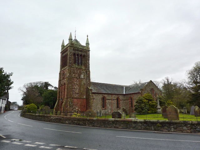
St Michael's Church, Bootle

St Michael's Church is in the village of Bootle, Cumbria, England. It is an active Anglican parish church in the deanery of Calder, the archdeaconry of...

Hycemoor

Hycemoor is a hamlet in Copeland borough of the county of Cumbria, in North west England. == Location == It is located on a minor road about a mile away...

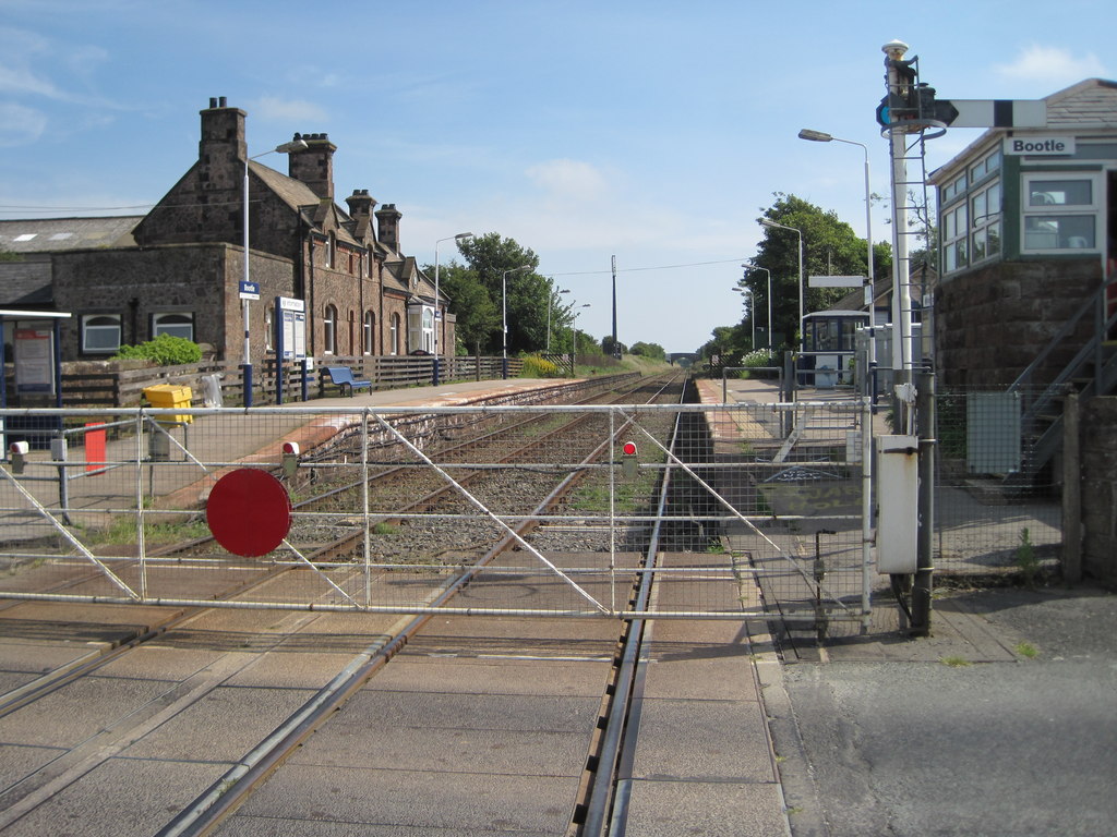
Bootle railway station

Bootle is a railway station on the Cumbrian Coast Line, which runs between Carlisle and Barrow-in-Furness. The station, situated 24 miles (39 km) north...

Whitbeck, Cumbria

Whitbeck is a hamlet and former civil parish, now in the parish of Whicham, in the Copeland district, in the county of Cumbria, England. It was called...

Seaton Priory

Originally called the nunnery of Lekeley from the name of the land it was built upon, the former nunnery of Seaton is to the north of the parish of Bootle...

Nearby Amenities

Located within 500m of 54.261541,-3.3985378
Source: PGS
Lat/Long: 54.2644661/-3.4035238
Source: PGS
Lat/Long: 54.2638834/-3.4031652
Source: PGS
Lat/Long: 54.2633167/-3.4027851
Source: PGS
Lat/Long: 54.2627161/-3.4022448
Source: PGS
Lat/Long: 54.2621693/-3.4016757
Source: PGS
Lat/Long: 54.2617119/-3.4010652
Created By: almien_coastlines
Source: PGS
Lat/Long: 54.2612367/-3.4006914
Created By: almien_coastlines
Source: PGS
Lat/Long: 54.2609566/-3.4004364
Created By: almien_coastlines
Source: PGS
Lat/Long: 54.2607172/-3.4001608
Created By: almien_coastlines
Source: PGS
Lat/Long: 54.2604443/-3.399832
Created By: almien_coastlines
Source: PGS
Lat/Long: 54.2602049/-3.3995091
Source: PGS
Lat/Long: 54.2599065/-3.3993407
Source: PGS
Lat/Long: 54.2591995/-3.3988443
Source: PGS
Lat/Long: 54.2586935/-3.3984527
Source: PGS
Lat/Long: 54.2582392/-3.3979096
Source: PGS
Lat/Long: 54.2577248/-3.397411
Source: PGS
Lat/Long: 54.257209/-3.3969075
The data included in this document is from www.openstreetmap.org. The data is made available under ODbL.

Have you been to Kiskin?

Leave your review of Kiskin below (or comments, questions and feedback).