Barton Plantation
Wood, Forest in Somerset Somerset West and Taunton
England
Barton Plantation
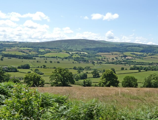
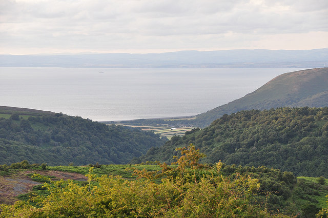
Barton Plantation, Somerset is a picturesque wood and forest area located in the southwestern region of England. With its sprawling landscape and diverse flora and fauna, it is a popular destination for nature enthusiasts and outdoor adventurers alike.
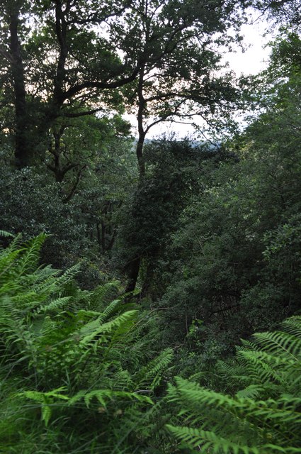
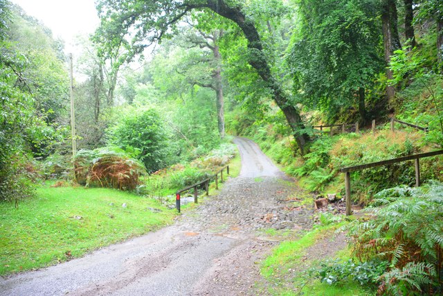
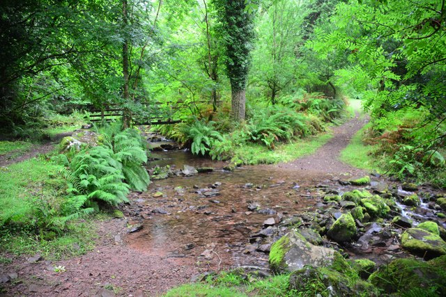
Covering an area of approximately 500 acres, Barton Plantation is a designated nature reserve renowned for its rich biodiversity. The forest is primarily composed of native tree species such as oak, ash, beech, and birch, which provide a habitat for a wide range of wildlife. Visitors can spot various bird species, including woodpeckers, owls, and thrushes, as well as small mammals like foxes, badgers, and hedgehogs.
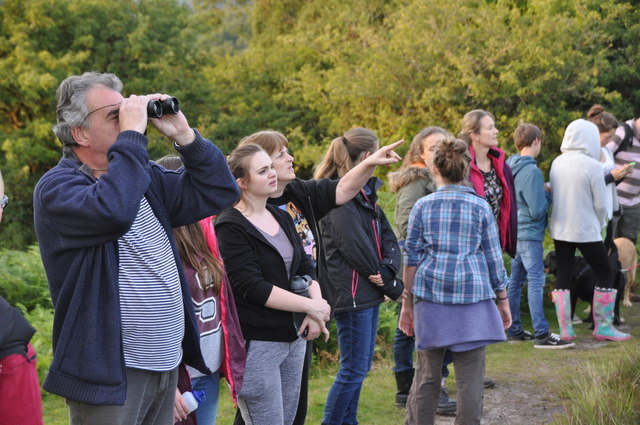
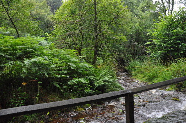
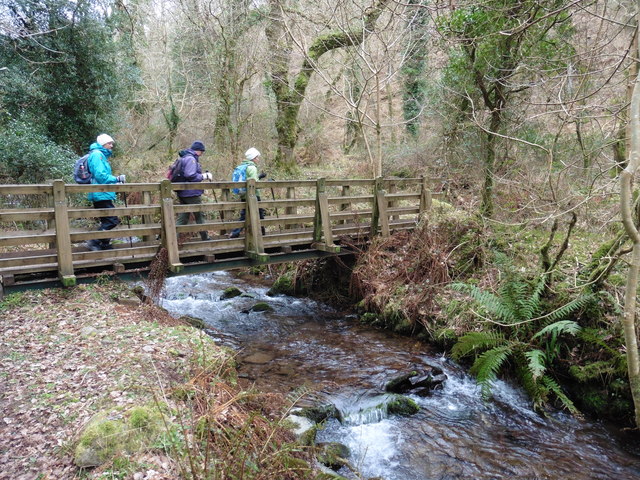
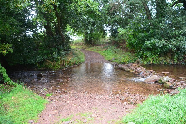
The plantation offers an extensive network of walking trails that wind through the woods, allowing visitors to explore the area at their own pace. These well-maintained paths provide an opportunity to immerse oneself in the tranquility of nature, with the scent of wildflowers filling the air and the sound of rustling leaves underfoot.
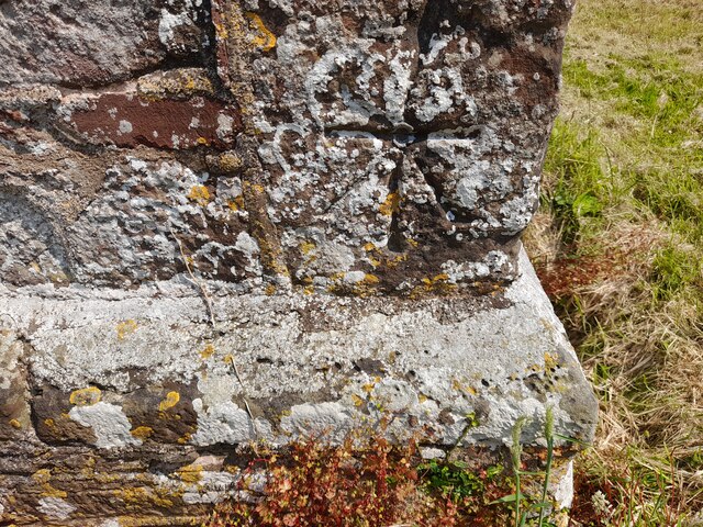
In addition to its natural beauty, Barton Plantation also holds historical significance. The remnants of an ancient Roman settlement can be found on the outskirts of the forest, offering a glimpse into the area's past. Archaeological enthusiasts and history buffs can explore these ruins and gain insights into the lives of the ancient inhabitants who once resided there.
Barton Plantation, Somerset is a haven for those seeking solace in nature, offering a perfect combination of stunning landscapes, diverse wildlife, and a touch of history. Whether one is looking for a peaceful hike or an educational adventure, this wood and forest area is sure to captivate visitors with its timeless charm.
If you have any feedback on the listing, please let us know in the comments section below.
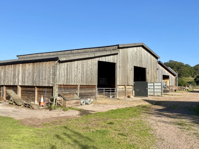
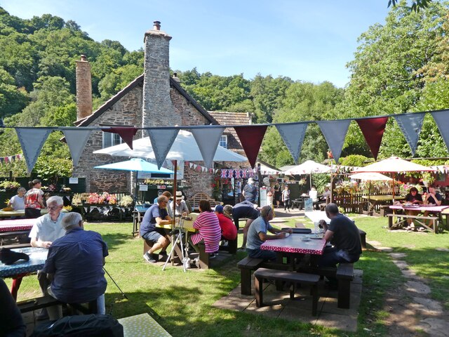
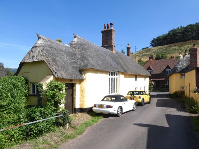
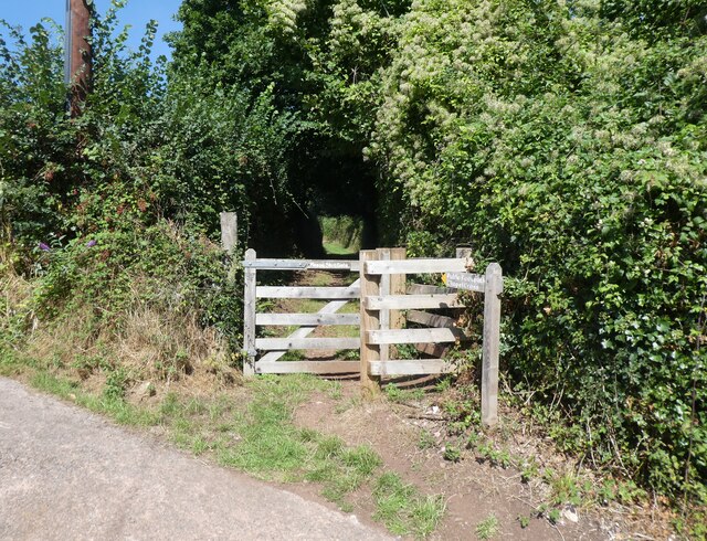
Barton Plantation Images
Images are sourced within 2km of 51.190074/-3.5682495 or Grid Reference SS9044. Thanks to Geograph Open Source API. All images are credited.
Barton Plantation is located at Grid Ref: SS9044 (Lat: 51.190074, Lng: -3.5682495)
Administrative County: Somerset
District: Somerset West and Taunton
Police Authority: Avon and Somerset
What 3 Words
///messy.flicked.falls. Near Porlock, Somerset
Related Wikis

Luccombe, Somerset
Luccombe or Luckham is a village and civil parish in the Exmoor National Park in the English county of Somerset. It at the foot of the moor's highest hill...

Holnicote Estate
Holnicote (pronounced "Hunnicutt") in the parish of Selworthy, West Somerset, England, is a historic estate consisting of 12,420 acres (5,026 hectares...

Dovecot at Blackford Farm
The Dovecot At Blackford Farm in Selworthy on Exmoor within the English county of Somerset was probably built in the 11th century. It is a Grade II* listed...

Hawkcombe Woods
Hawkcombe Woods is a national nature reserve near Porlock on Exmoor, Somerset, England.The 101 hectares (250 acres) woodlands are notable for their lichens...

Coleridge Way
The Coleridge Way is a 51-mile (82 km) long-distance trail in Somerset and Devon, England. It was opened in April 2005, and the route links several sites...

West Somerset Rural Life Museum and Victorian School
The West Somerset Rural Life Museum is a small museum in Allerford, Somerset, England. The building was built in 1821 as the village school and was closed...

Selworthy
Selworthy is a small village and civil parish 5 kilometres (3 mi) from Minehead in Somerset, England. It is located in the National Trust's Holnicote Estate...

Sweetworthy
Sweetworthy is the site of two Iron Age hill forts or enclosures at Luccombe, 4 kilometres (2 mi) south of Porlock, Somerset, England. They are on the...
Nearby Amenities
Located within 500m of 51.190074,-3.5682495Have you been to Barton Plantation?
Leave your review of Barton Plantation below (or comments, questions and feedback).