Chapel Plantation

Wood, Forest in Somerset Somerset West and Taunton

England

Chapel Plantation

Tea gardens, Horner
Tea gardens, Horner Credit: Roger Cornfoot

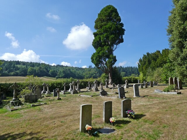
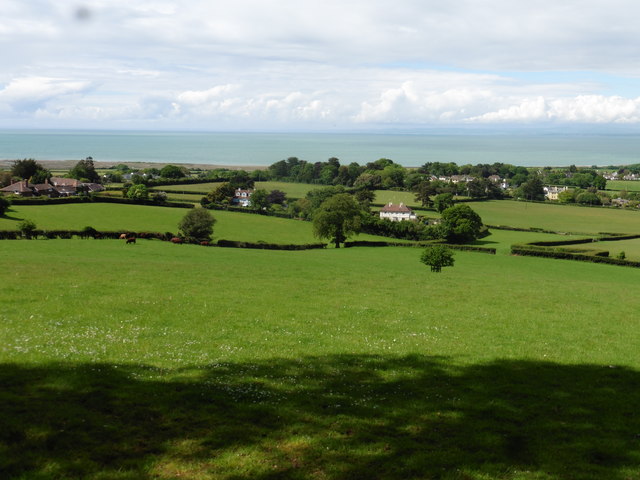
Chapel Plantation is a stunning woodland area located in Somerset, England. Spread across a vast expanse, it covers an area of approximately 200 hectares and is renowned for its diverse flora and fauna. The plantation is situated within the larger Somerset Levels, a region known for its rich wildlife and natural beauty.

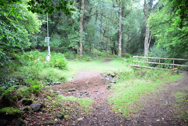
The woodland at Chapel Plantation is primarily composed of native tree species such as oak, beech, and ash, which create a picturesque landscape throughout the year. These trees provide a habitat for various bird species, including woodpeckers, owls, and thrushes, making it a popular spot for birdwatching enthusiasts.

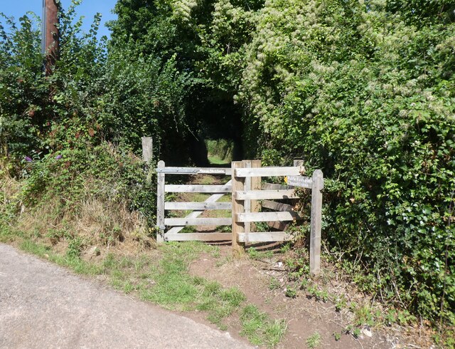
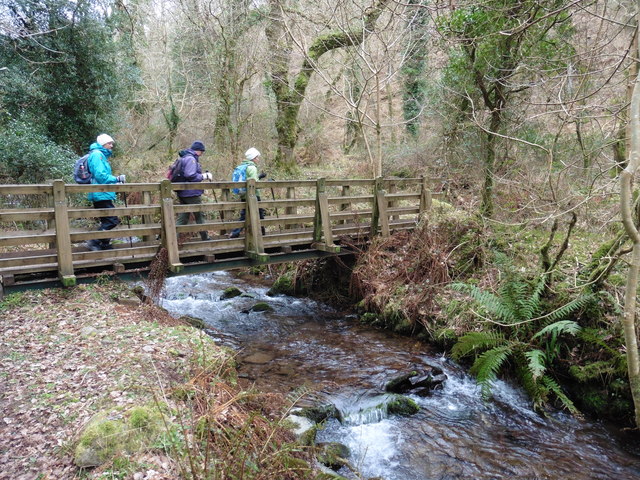
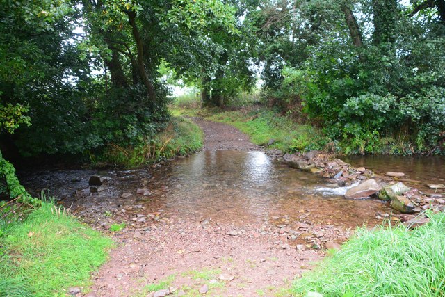
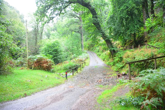
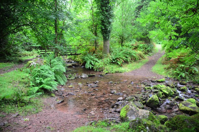
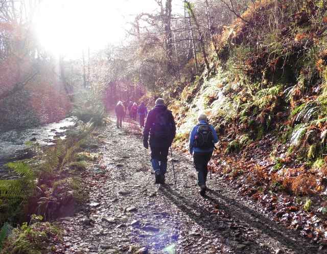
The plantation also boasts a network of well-maintained walking trails that allow visitors to explore the area and immerse themselves in nature. These paths wind through the woodland, offering glimpses of vibrant wildflowers, moss-covered rocks, and bubbling streams along the way. It is a haven for nature lovers, providing a tranquil environment for relaxation and rejuvenation.

Chapel Plantation is managed by the local authorities, who actively work to preserve its natural beauty and protect the delicate ecosystem within. The woodland is regularly monitored, and measures are taken to ensure the conservation of rare and endangered species.

Whether you are an avid hiker, a birdwatcher, or simply seeking a peaceful escape from the bustling city life, Chapel Plantation in Somerset is a destination that promises to captivate and inspire with its breathtaking scenery and abundant wildlife.

If you have any feedback on the listing, please let us know in the comments section below.

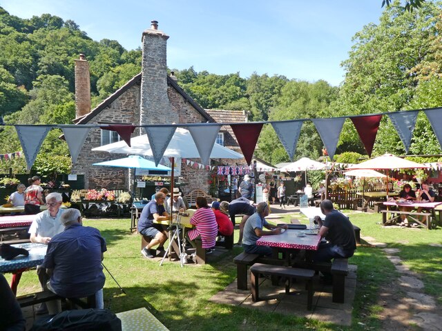
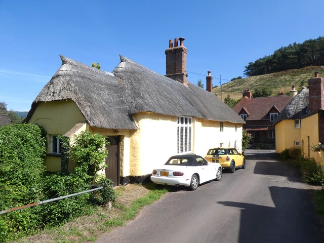
Chapel Plantation Images

Images are sourced within 2km of 51.192121/-3.5698217 or Grid Reference SS9044. Thanks to Geograph Open Source API. All images are credited.

Tea gardens, Horner
Tea gardens, Horner
Church Gate Cottage, Luccombe
Path to the cemetery, Luccombe
Interior, Church of the Blessed Virgin Mary, Luccombe
Cemetery, Luccombe
Cemetery, Luccombe
Ordnance Survey Cut Mark This damaged OS cut mark can be found on the wall at Chapel Cross. It marks a point 113.839m above mean sea level.
Ordnance Survey Cut Mark
This damaged OS cut mark can be found on the wall at Chapel Cross. It marks a point 113.839m above mean sea level.
Ordnance Survey Cut Mark This OS cut mark can be found on the wall of the rectory. It marks a point 84.139m above mean sea level.
Ordnance Survey Cut Mark
This OS cut mark can be found on the wall of the rectory. It marks a point 84.139m above mean sea level.
Ordnance Survey 1GL Bolt This OS Bolt can be found on the SW angle of St Mary's Church. It marks a point 90.823m above mean sea level.
Ordnance Survey 1GL Bolt
This OS Bolt can be found on the SW angle of St Mary's Church. It marks a point 90.823m above mean sea level.
Footbridge over East Water
West Luccumbe Ford This ford on Horner Water is found at West Luccumbe.
West Luccumbe Ford
This ford on Horner Water is found at West Luccumbe.
Cloutsham Ford This ford in the East Water Valley is found close to Cloutsham. A video of the ford can be seen at:
<span class="nowrap"><a title="https://youtu.be/RLgs6DBwH04" rel="nofollow ugc noopener" href="https://youtu.be/RLgs6DBwH04">Link</a><img style="margin-left:2px;" alt="External link" title="External link - shift click to open in new window" src="https://s1.geograph.org.uk/img/external.png" width="10" height="10"/></span>
Cloutsham Ford
This ford in the East Water Valley is found close to Cloutsham. A video of the ford can be seen at: LinkExternal link
East Water Valley Ford 7 This is the seventh of the eight fords leading down East Water Valley from Cloutsham Ford.
East Water Valley Ford 7
This is the seventh of the eight fords leading down East Water Valley from Cloutsham Ford.
East Water Valley Ford 8 This is the eighth of the eight fords leading down East Water Valley from Cloutsham Ford.
East Water Valley Ford 8
This is the eighth of the eight fords leading down East Water Valley from Cloutsham Ford.
Track, above Higher Doverhay
Farmland, east of Porlock
Thatched cottage, West Luccombe
Track in Horner Wood
Felled tree, lying over Horner Water
Show me another place!

Chapel Plantation is located at Grid Ref: SS9044 (Lat: 51.192121, Lng: -3.5698217)

Administrative County: Somerset

District: Somerset West and Taunton

Police Authority: Avon and Somerset

What 3 Words

///grasp.fermented.visitors. Near Porlock, Somerset

Related Wikis

Luccombe, Somerset

Luccombe or Luckham is a village and civil parish in the Exmoor National Park in the English county of Somerset. It at the foot of the moor's highest hill...

Holnicote Estate

Holnicote (pronounced "Hunnicutt") in the parish of Selworthy, West Somerset, England, is a historic estate consisting of 12,420 acres (5,026 hectares...

Coleridge Way

The Coleridge Way is a 51-mile (82 km) long-distance trail in Somerset and Devon, England. It was opened in April 2005, and the route links several sites...

Hawkcombe Woods

Hawkcombe Woods is a national nature reserve near Porlock on Exmoor, Somerset, England. The 101 hectares (250 acres) woodlands are notable for their lichens...

Nearby Amenities

Located within 500m of 51.192121,-3.5698217
Chapel Cross
Junction: yes
Lat/Long: 51.1919551/-3.5664885
Hiking: yes
Information: guidepost
Source: GPS survey
Tourism: information
Lat/Long: 51.1930211/-3.5767552
Hiking: yes
Information: guidepost
Source: GPS survey
Tourism: information
Lat/Long: 51.1931354/-3.5759908
Hiking: yes
Information: route_marker
Source: GPS survey
Tourism: information
Lat/Long: 51.1931505/-3.575846
Hiking: yes
Information: guidepost
Source: GPS survey
Tourism: information
Lat/Long: 51.1931354/-3.5736466
Hiking: yes
Information: route_marker
Source: GPS survey
Tourism: information
Lat/Long: 51.1927253/-3.5713559
Hiking: yes
Information: route_marker
Source: GPS survey
Tourism: information
Lat/Long: 51.1922655/-3.5676384
Horner Plantation
Place: locality
Lat/Long: 51.1898855/-3.5737306
Winnowing Ball
Place: locality
Lat/Long: 51.1926937/-3.5744584
Chapel Plantation
Place: locality
Lat/Long: 51.1938625/-3.5736396
The data included in this document is from www.openstreetmap.org. The data is made available under ODbL.

Have you been to Chapel Plantation?

Leave your review of Chapel Plantation below (or comments, questions and feedback).