Northmoor Common

Wood, Forest in Somerset Somerset West and Taunton

England

Northmoor Common

South Hill on Exmoor  View north towards South Hill from the B3223.
South Hill on Exmoor Credit: Kevin Pearson

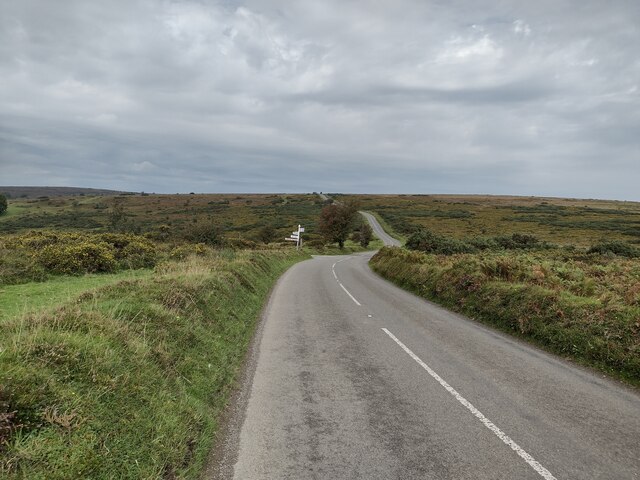
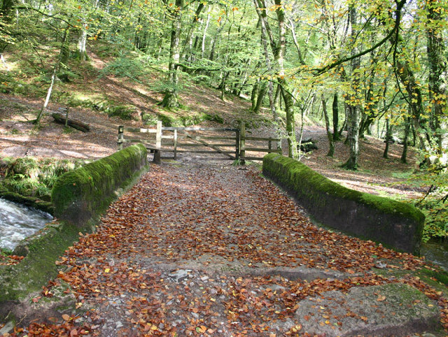
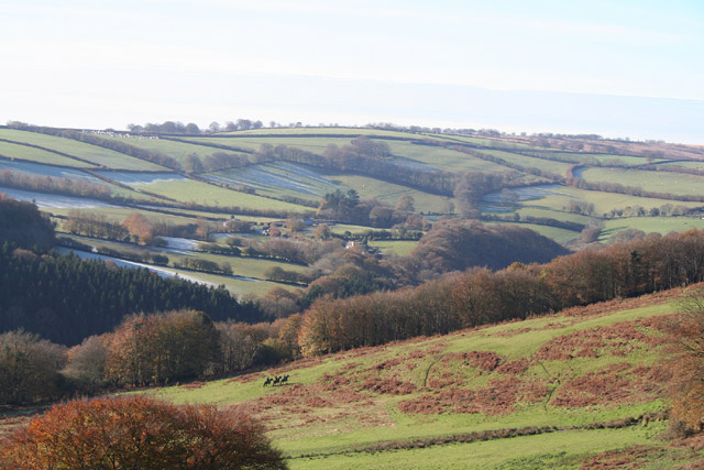
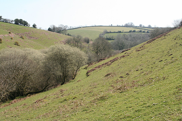
Northmoor Common is a picturesque woodland located in Somerset, England. It covers an area of approximately 200 acres and is renowned for its natural beauty and diverse flora and fauna. The common is situated near the small village of Northmoor Green, and it is a popular destination for nature enthusiasts and hikers.

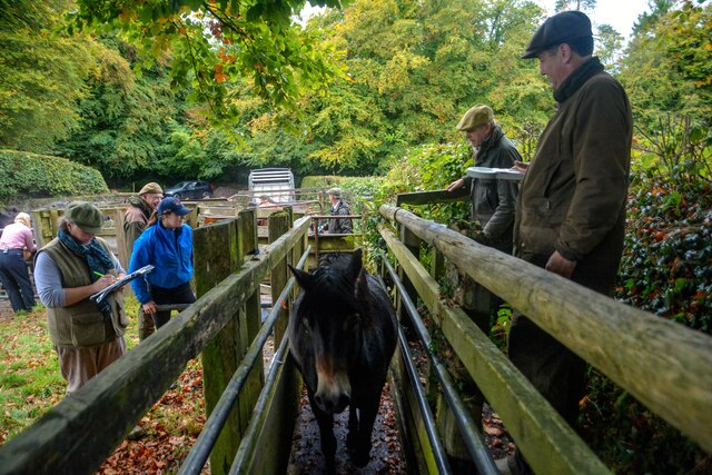
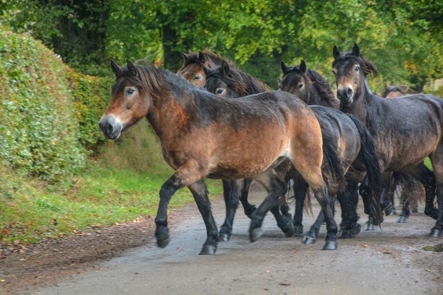
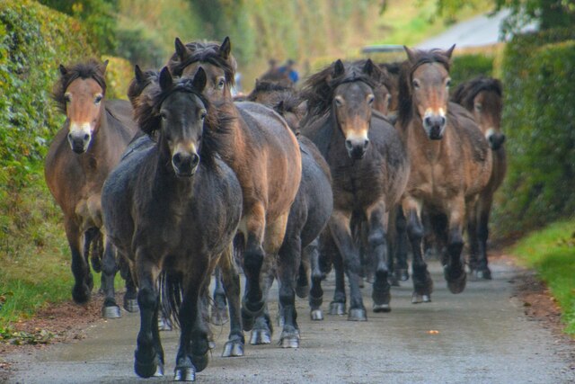
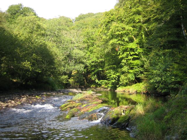
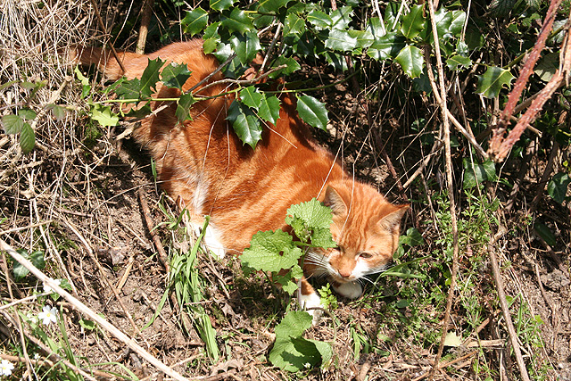
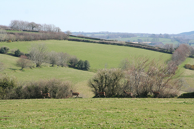
The woodland is characterized by its dense tree cover, predominantly consisting of native species such as oak, beech, and ash. These towering trees create a peaceful and serene atmosphere, providing a habitat for a wide range of wildlife. Visitors to Northmoor Common can expect to encounter various bird species, including woodpeckers, owls, and songbirds. Squirrels, badgers, and foxes are also commonly spotted in the area.

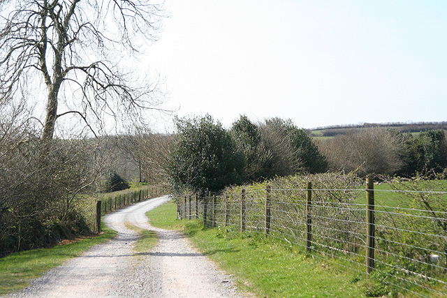
Trails wind through the common, allowing visitors to explore its beauty at their own pace. The paths are well-maintained and suitable for both casual walkers and more adventurous hikers. Along the way, visitors can enjoy breathtaking views of the surrounding countryside and may stumble upon hidden ponds and streams teeming with aquatic life.

Northmoor Common also has historical significance, as it was once part of the ancient Kingswood Forest. This forest played a crucial role in supplying timber for shipbuilding during the medieval period. Today, remnants of this history can still be seen in the form of old trees and ancient earthworks.

Overall, Northmoor Common offers a tranquil escape from the hustle and bustle of everyday life, allowing visitors to connect with nature and experience the beauty of the Somerset countryside.

If you have any feedback on the listing, please let us know in the comments section below.

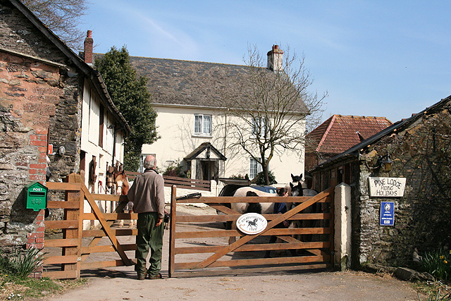
Northmoor Common Images

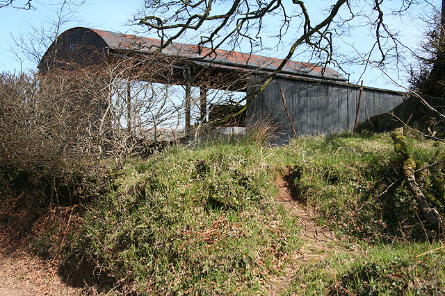
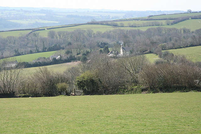
Images are sourced within 2km of 51.04904/-3.5742659 or Grid Reference SS8928. Thanks to Geograph Open Source API. All images are credited.

South Hill on Exmoor  View north towards South Hill from the B3223.
South Hill on Exmoor
View north towards South Hill from the B3223.
Dulverton : Exmoor Ponies Exmoor Ponies being counted.
Dulverton : Exmoor Ponies
Exmoor Ponies being counted.
Dulverton : Exmoor Ponies Ponies from the Anchor herd at rounded up and counted, labelled and put back out onto the moors.
Dulverton : Exmoor Ponies
Ponies from the Anchor herd at rounded up and counted, labelled and put back out onto the moors.
Dulverton : Exmoor Pony A pony has come to say hello.
Dulverton : Exmoor Pony
A pony has come to say hello.
Dulverton : Exmoor Ponies Interest in the Anchor herd is such that the BBC have come to film a report.
Dulverton : Exmoor Ponies
Interest in the Anchor herd is such that the BBC have come to film a report.
Dulverton : Marsh Hill Exmoor ponies heading along Marsh Hill.
Dulverton : Marsh Hill
Exmoor ponies heading along Marsh Hill.
Dulverton : Marsh Hill Exmoor ponies heading along Marsh Hill after being rounded up and ready for an annual count.
Dulverton : Marsh Hill
Exmoor ponies heading along Marsh Hill after being rounded up and ready for an annual count.
Castle Bridge, Dulverton, Somerset Looking north over Castle Bridge.  Just to the right of this, Danes's Brook, which flows under the bridge, joins the river Barle. Presumably the  bridge gets its name from Brewer's Castle, the site of which is out-of-shot up the hill from the top left of this image.
Castle Bridge, Dulverton, Somerset
Looking north over Castle Bridge. Just to the right of this, Danes's Brook, which flows under the bridge, joins the river Barle. Presumably the bridge gets its name from Brewer's Castle, the site of which is out-of-shot up the hill from the top left of this image.
Dulverton: Draydon Wood Beyond the wood lies the Barle valley and on the hill above is Hinham Farm, its north-facing fields still partly covered in frost. Three riders from the Devon & Somerset hunt can be seen
Dulverton: Draydon Wood
Beyond the wood lies the Barle valley and on the hill above is Hinham Farm, its north-facing fields still partly covered in frost. Three riders from the Devon & Somerset hunt can be seen
River Barle Looking upstream, water level very low after the dry summer.
River Barle
Looking upstream, water level very low after the dry summer.
Dulverton: footbridge over stream On the public footpath between Dulverton and Waddicombe, looking east
Dulverton: footbridge over stream
On the public footpath between Dulverton and Waddicombe, looking east
Dulverton: below Chilcott Looking east in the direction of Lower Chilcott Wood, in a hidden valley, with pussy willow by a stream
Dulverton: below Chilcott
Looking east in the direction of Lower Chilcott Wood, in a hidden valley, with pussy willow by a stream
Dulverton: by Lower Chilcott A cat enjoying Easter sunshine
Dulverton: by Lower Chilcott
A cat enjoying Easter sunshine
Dulverton: Higher Chilcott Farm Home of Pine Lodge Riding Holidays. Looking north east. See <span class="nowrap"><a title="http://www.pinelodge.countryside-inter.net/introductionframe.htm" rel="nofollow ugc noopener" href="http://www.pinelodge.countryside-inter.net/introductionframe.htm">Link</a><img style="margin-left:2px;" alt="External link" title="External link - shift click to open in new window" src="https://s1.geograph.org.uk/img/external.png" width="10" height="10"/></span>
Dulverton: Higher Chilcott Farm
Home of Pine Lodge Riding Holidays. Looking north east. See LinkExternal link
Dulverton: track to Cawkett Looking south west
Dulverton: track to Cawkett
Looking south west
Dulverton: five hinds Near Chilcott Cross, looking east
Dulverton: five hinds
Near Chilcott Cross, looking east
Dulverton: by Chilcott Cross Looking north east towards a barn
Dulverton: by Chilcott Cross
Looking north east towards a barn
Dulverton: towards Higher Chilcott Looking south west. Higher Chilcott - beyond the square - has smoke rising from a chimney and Lower Chilcott is to the left of this farm
Dulverton: towards Higher Chilcott
Looking south west. Higher Chilcott - beyond the square - has smoke rising from a chimney and Lower Chilcott is to the left of this farm
Show me another place!

Northmoor Common is located at Grid Ref: SS8928 (Lat: 51.04904, Lng: -3.5742659)

Administrative County: Somerset

District: Somerset West and Taunton

Police Authority: Avon and Somerset

What 3 Words

///frail.bends.swatted. Near Dulverton, Somerset

Nearby Locations

The Brake Northmoor Common

Related Wikis

Northmoor, Dulverton

Northmoor is an historic estate in the parish of Dulverton in Somerset, England. The Victorian mansion house known as Northmoor House is set amongst steep...

Oldberry Castle

Oldberry Castle (sometimes called Oldbury Castle) is an Iron Age hill fort north west of Dulverton, Somerset, England. It lies approximately 0.5 miles...

Mounsey Castle

Mounsey Castle is an Iron Age irregular triangular earthwork of 1.75 hectares (4.3 acres) north west of Dulverton, Somerset, England. It has been scheduled...

Brewer's Castle

Brewer's Castle is a defended Iron Age settlement in the West Somerset district of Somerset, England. The hill fort is situated approximately 2 miles...

Have you been to Northmoor Common?

Leave your review of Northmoor Common below (or comments, questions and feedback).