South Barton Wood
Wood, Forest in Somerset Somerset West and Taunton
England
South Barton Wood
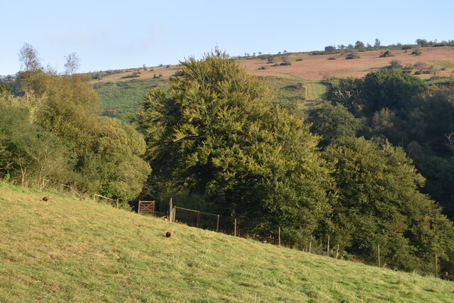
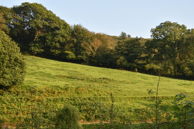
South Barton Wood is a picturesque woodland located in the county of Somerset, England. Covering an area of approximately 50 acres, it is situated near the village of Barton St David, just a few miles south of Glastonbury. The woodland is part of the Mendip Hills Area of Outstanding Natural Beauty, and its stunning scenery attracts visitors from near and far.
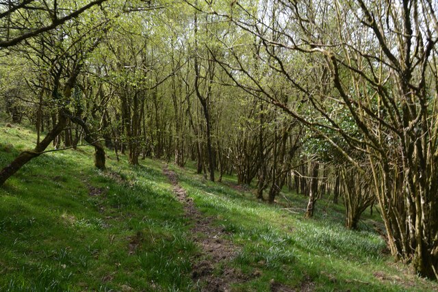
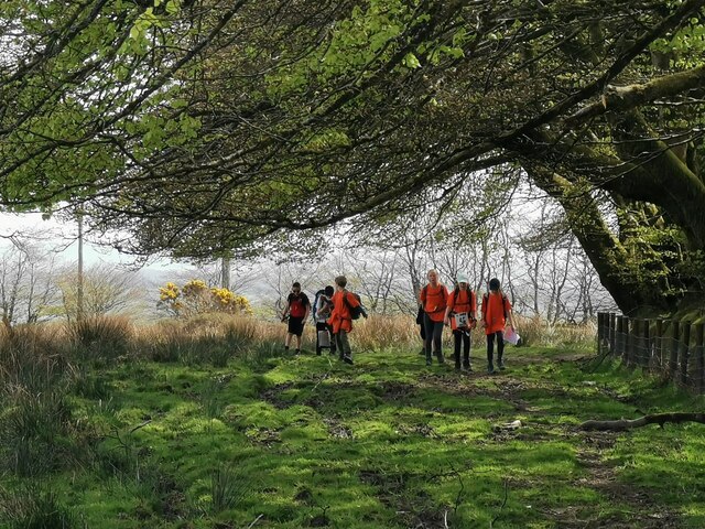
South Barton Wood is predominantly composed of broadleaf trees, including oak, ash, and beech, which create a diverse and vibrant ecosystem. The woodland floor is adorned with a carpet of bluebells in the spring, creating a breathtaking sight for nature enthusiasts. Various species of wildlife, such as badgers, foxes, and deer, call this woodland their home, making it an ideal spot for wildlife observation and photography.
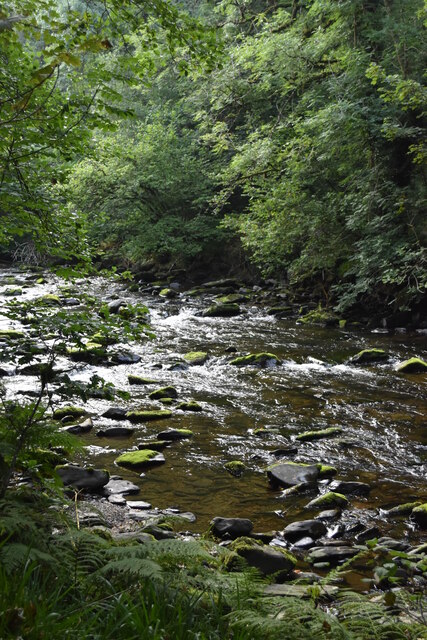
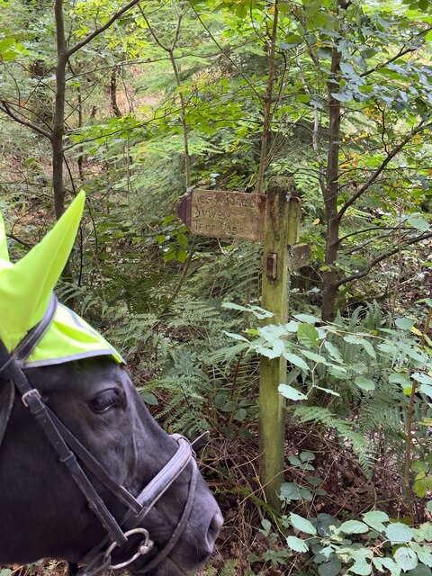
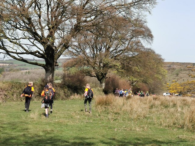
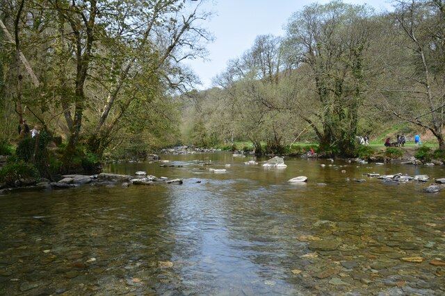
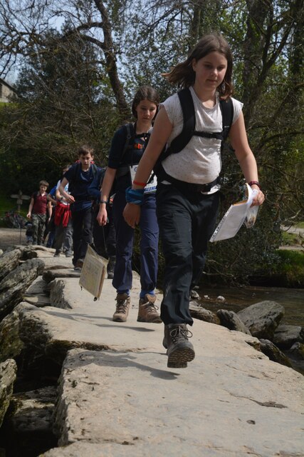
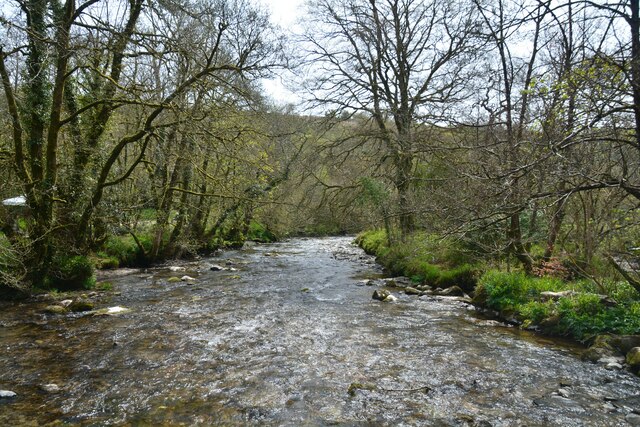
The wood is crisscrossed by a network of well-maintained footpaths, allowing visitors to explore its enchanting beauty at their own pace. These paths lead to hidden clearings, tranquil streams, and charming glades, providing ample opportunities for peaceful walks and picnics amidst nature's serenity.
South Barton Wood is managed by the local authorities in collaboration with conservation organizations to preserve its natural heritage. Regular maintenance and tree planting initiatives ensure the continued growth and sustainability of the woodland. The management also conducts educational programs and guided tours to raise awareness about the importance of preserving such habitats.
In conclusion, South Barton Wood is a cherished natural treasure in Somerset, offering a tranquil escape from the hustle and bustle of everyday life. It provides a haven for wildlife, a captivating landscape for nature lovers, and a serene retreat for those seeking solace in the great outdoors.
If you have any feedback on the listing, please let us know in the comments section below.
South Barton Wood Images
Images are sourced within 2km of 51.074798/-3.6266154 or Grid Reference SS8631. Thanks to Geograph Open Source API. All images are credited.


South Barton Wood is located at Grid Ref: SS8631 (Lat: 51.074798, Lng: -3.6266154)
Administrative County: Somerset
District: Somerset West and Taunton
Police Authority: Avon and Somerset
What 3 Words
///glares.bake.grounding. Near Dulverton, Somerset
Nearby Locations
Related Wikis

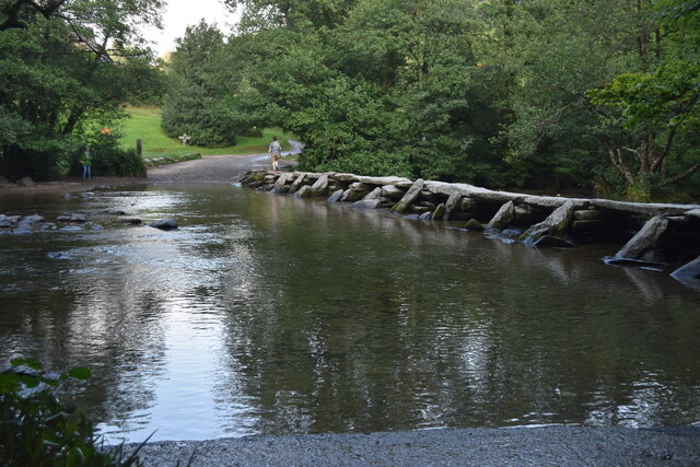
Tarr Steps
The Tarr Steps is a clapper bridge across the River Barle in the Exmoor National Park, Somerset, England. They are located in a national nature reserve...

Church of St Giles, Hawkridge
The Anglican Church of St Giles in Hawkridge, Somerset, England was built in the 14th century. It is a Grade II* listed building. == History == The oldest...

South Exmoor SSSI
South Exmoor (grid reference SS880340) is a 3132.7 hectare (7742.3 acre) biological Site of Special Scientific Interest in Devon and Somerset, England...

Ashwick House, Dulverton
not to be confused with the 17th century Ashwick Court in eastern Somerset.Ashwick House is an Edwardian mansion in Ashwick, four miles northwest of Dulverton...

Brewer's Castle
Brewer's Castle is a defended Iron Age settlement in the West Somerset district of Somerset, England. The hill fort is situated approximately 2 miles...

Mounsey Castle
Mounsey Castle is an Iron Age irregular triangular earthwork of 1.75 hectares (4.3 acres) north west of Dulverton, Somerset, England. It has been scheduled...

Caratacus Stone
The Caratacus Stone, sometimes known as the Caractacus Stone, is an inscribed stone on Exmoor in Somerset, England. It is thought to date from the 6th...
Withypool Stone Circle
Withypool Stone Circle, also known as Withypool Hill Stone Circle, is a stone circle located on the Exmoor moorland, near the village of Withypool in the...
Nearby Amenities
Located within 500m of 51.074798,-3.6266154Have you been to South Barton Wood?
Leave your review of South Barton Wood below (or comments, questions and feedback).