Ashway Hat Wood
Wood, Forest in Somerset Somerset West and Taunton
England
Ashway Hat Wood
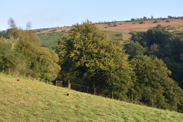
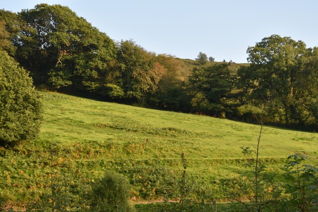
Ashway Hat Wood is a picturesque forest located in Somerset, England. Covering an area of approximately 50 acres, it is a popular destination for nature lovers and outdoor enthusiasts. The wood is situated near the village of Ashway, amidst rolling hills and lush greenery.
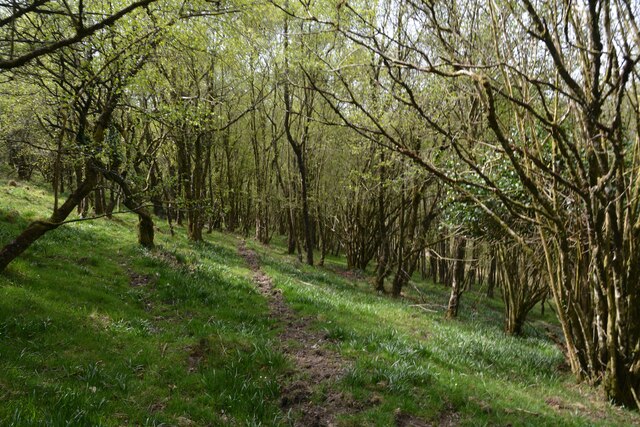
Ashway Hat Wood is predominantly composed of native broadleaf trees such as oak, beech, and ash, which create a dense canopy providing shade and shelter for various wildlife species. The forest floor is adorned with a rich carpet of bluebells and other wildflowers, enhancing its natural beauty.
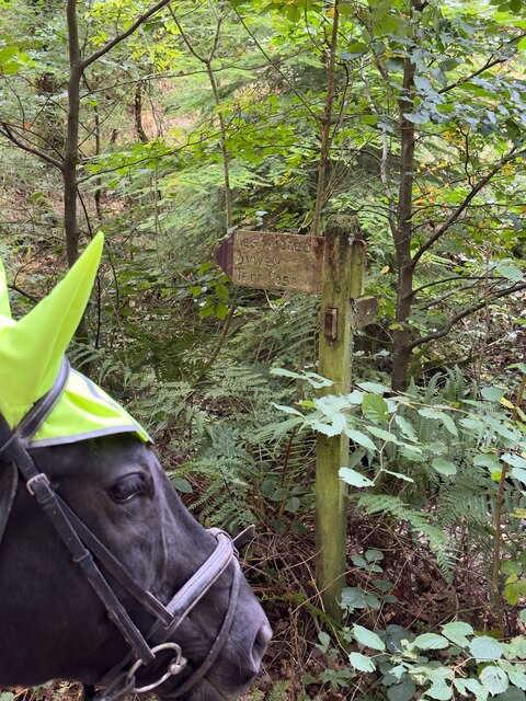
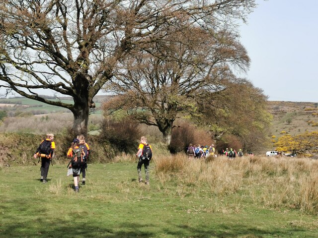
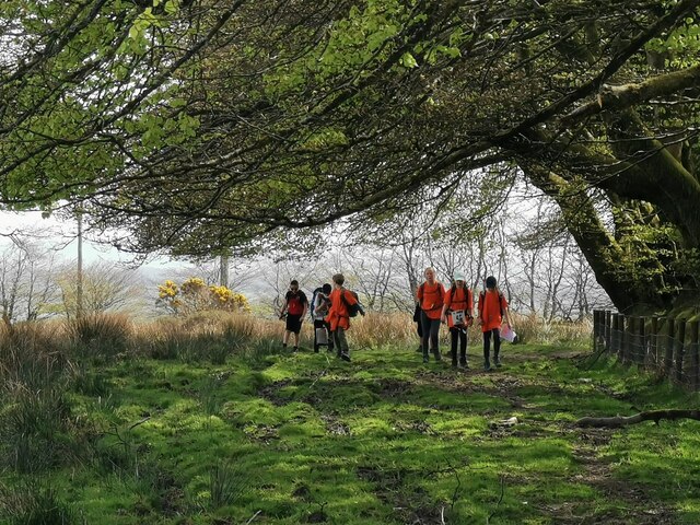
The wood is crisscrossed with a network of well-maintained footpaths, making it easily accessible for walkers and hikers. These paths wind through the woodland, offering visitors the opportunity to explore and immerse themselves in the tranquil surroundings. The air is filled with the sweet scent of the forest, and the sounds of birdsong add to the peaceful ambiance.
The diverse range of wildlife that calls Ashway Hat Wood home includes deer, foxes, badgers, and numerous bird species such as woodpeckers and owls. The forest provides a valuable habitat for these creatures, offering food and shelter throughout the year.
Ashway Hat Wood is not only a haven for wildlife but also a place of historical significance. The wood has been in existence for centuries and has witnessed the passing of time. It is a place where visitors can connect with nature, relax, and appreciate the beauty of the natural world.
If you have any feedback on the listing, please let us know in the comments section below.
Ashway Hat Wood Images
Images are sourced within 2km of 51.073153/-3.6220327 or Grid Reference SS8631. Thanks to Geograph Open Source API. All images are credited.


Ashway Hat Wood is located at Grid Ref: SS8631 (Lat: 51.073153, Lng: -3.6220327)
Administrative County: Somerset
District: Somerset West and Taunton
Police Authority: Avon and Somerset
What 3 Words
///presides.irritable.starring. Near Dulverton, Somerset
Nearby Locations
Related Wikis

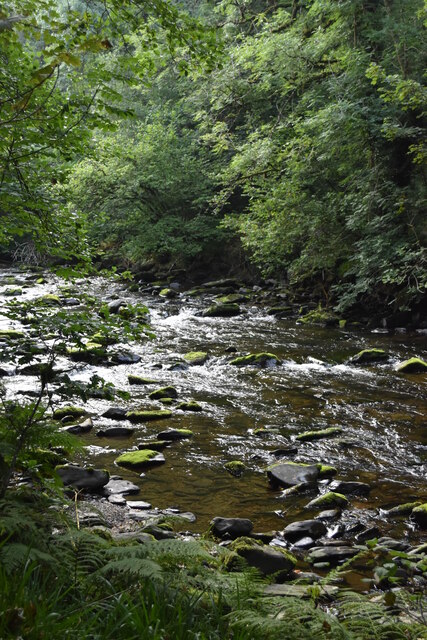
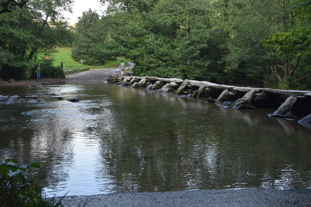
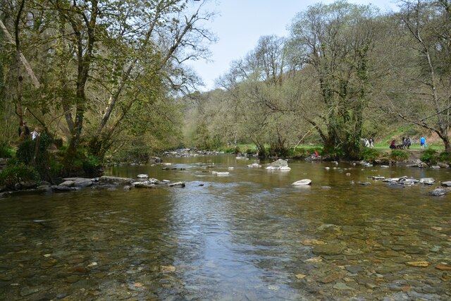
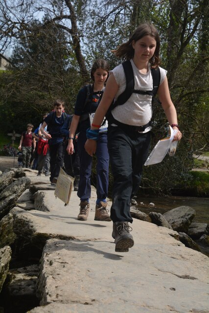
Tarr Steps
The Tarr Steps is a clapper bridge across the River Barle in the Exmoor National Park, Somerset, England. They are located in a national nature reserve...

Church of St Giles, Hawkridge
The Anglican Church of St Giles in Hawkridge, Somerset, England was built in the 14th century. It is a Grade II* listed building. == History == The oldest...

Ashwick House, Dulverton
not to be confused with the 17th century Ashwick Court in eastern Somerset.Ashwick House is an Edwardian mansion in Ashwick, four miles northwest of Dulverton...

Brewer's Castle
Brewer's Castle is a defended Iron Age settlement in the West Somerset district of Somerset, England. The hill fort is situated approximately 2 miles...

South Exmoor SSSI
South Exmoor (grid reference SS880340) is a 3132.7 hectare (7742.3 acre) biological Site of Special Scientific Interest in Devon and Somerset, England...

Mounsey Castle
Mounsey Castle is an Iron Age irregular triangular earthwork of 1.75 hectares (4.3 acres) north west of Dulverton, Somerset, England. It has been scheduled...

Caratacus Stone
The Caratacus Stone, sometimes known as the Caractacus Stone, is an inscribed stone on Exmoor in Somerset, England. It is thought to date from the 6th...

Exmoor
Exmoor is loosely defined as an area of hilly open moorland in west Somerset and north Devon in South West England. It is named after the River Exe, the...
Nearby Amenities
Located within 500m of 51.073153,-3.6220327Have you been to Ashway Hat Wood?
Leave your review of Ashway Hat Wood below (or comments, questions and feedback).