Ash Hill Copse
Wood, Forest in Devon Teignbridge
England
Ash Hill Copse
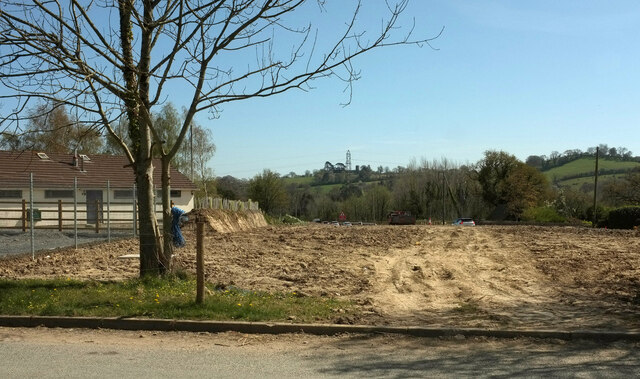
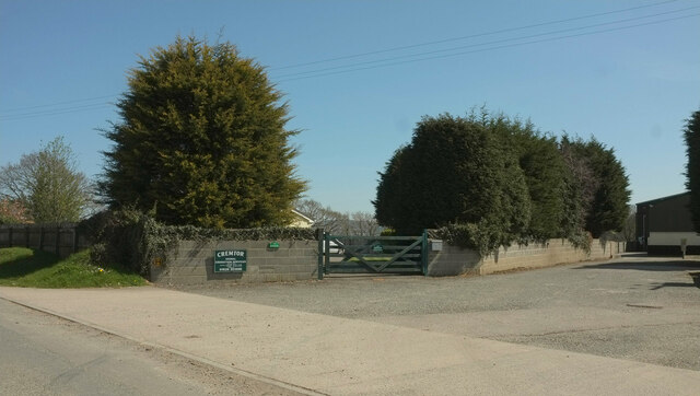
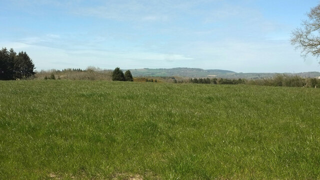
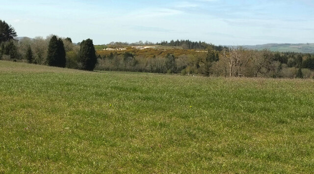
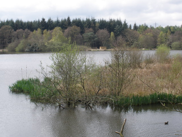
Ash Hill Copse is a stunning woodland located in Devon, England. Spanning over a vast area, it is considered one of the most picturesque forests in the region. The copse is situated near the small village of Ash Hill, which adds to its charm and accessibility.
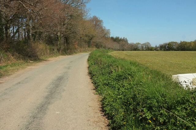
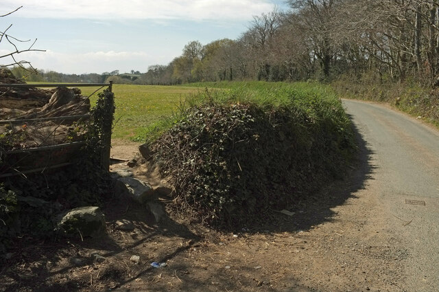
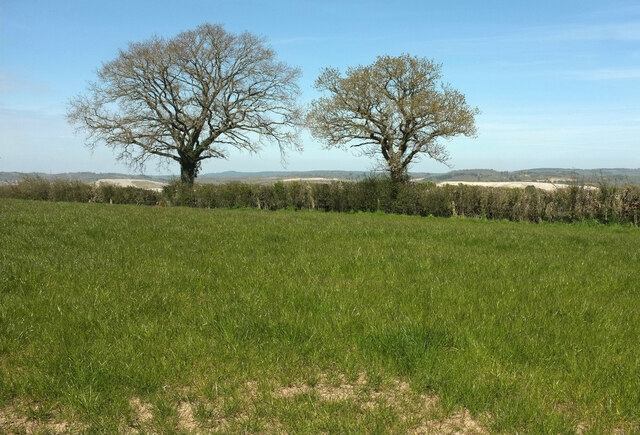
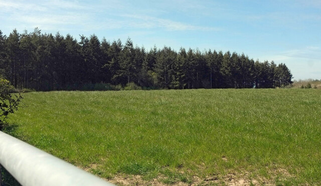
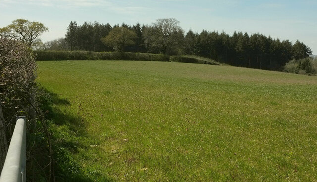
This ancient woodland is predominantly composed of ash trees, which give it its name. The towering trees create a dense canopy, allowing only dappled sunlight to filter through to the forest floor. The copse is also home to a diverse range of plant species, including bluebells, ferns, and wild garlic, which create a vibrant and colorful landscape during the spring and summer months.
The forest is a haven for wildlife, providing shelter and sustenance for numerous species. Visitors to Ash Hill Copse may be lucky enough to spot a variety of birds, such as woodpeckers, owls, and various songbirds. Small mammals like squirrels, foxes, and badgers are also known to inhabit the woodland.
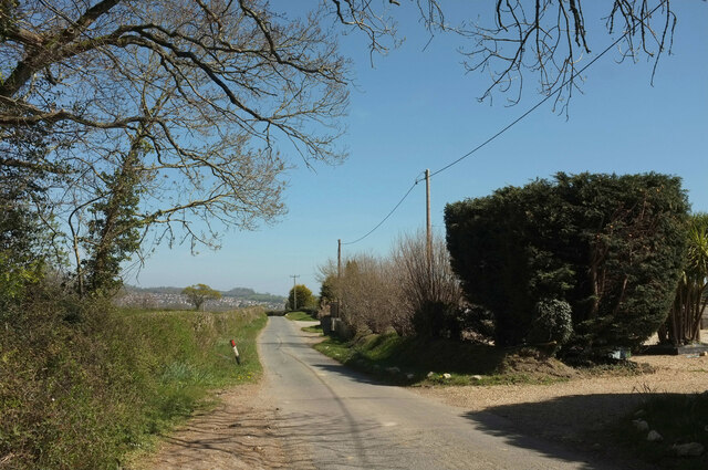
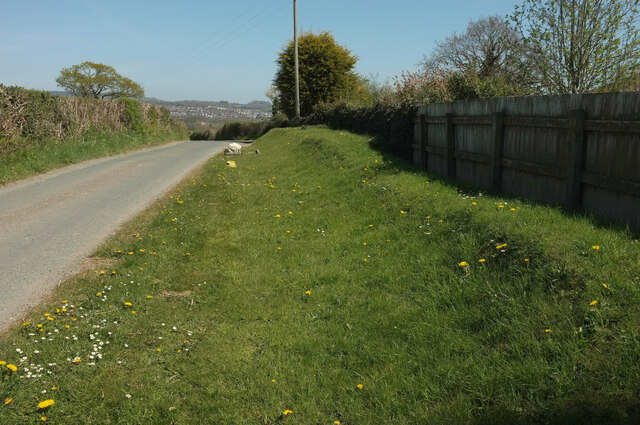
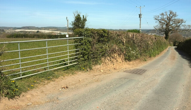
Ash Hill Copse offers a network of walking trails, allowing visitors to explore its natural beauty at their own pace. These paths meander through the woods, leading hikers to tranquil clearings and babbling brooks. The copse is a popular destination for nature enthusiasts, photographers, and families seeking a peaceful day out in nature.
Overall, Ash Hill Copse in Devon is a remarkable woodland, teeming with biodiversity and natural beauty. Whether one seeks solitude or an opportunity to connect with nature, this forest offers an enchanting experience for all who venture into its depths.
If you have any feedback on the listing, please let us know in the comments section below.
Ash Hill Copse Images
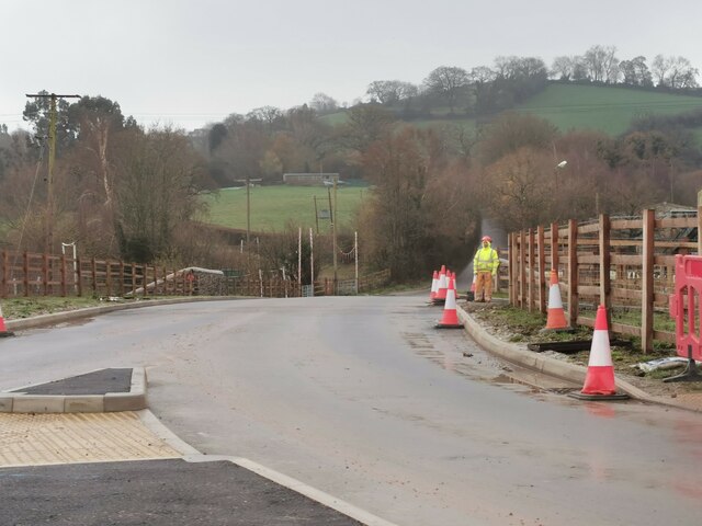
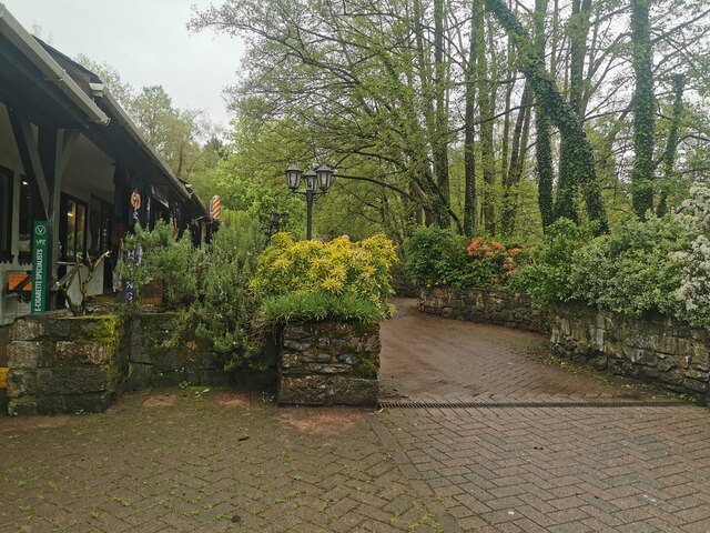
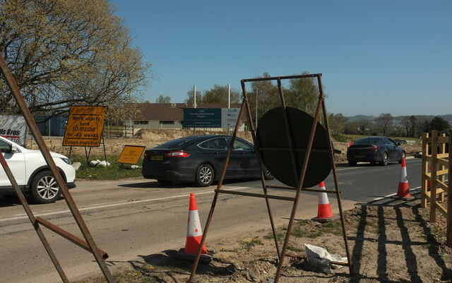
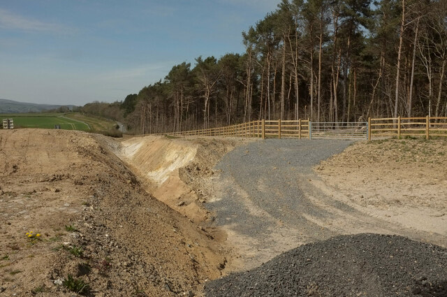
Images are sourced within 2km of 50.551345/-3.6515542 or Grid Reference SX8373. Thanks to Geograph Open Source API. All images are credited.

Ash Hill Copse is located at Grid Ref: SX8373 (Lat: 50.551345, Lng: -3.6515542)
Administrative County: Devon
District: Teignbridge
Police Authority: Devon and Cornwall
What 3 Words
///official.number.mailers. Near Newton Abbot, Devon
Nearby Locations
Related Wikis
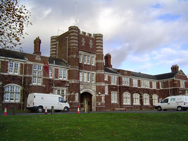
Seale-Hayne College
Seale-Hayne College was an agricultural college in Devon, England, which operated from 1919 to 2005. It was the only agricultural college in the United...

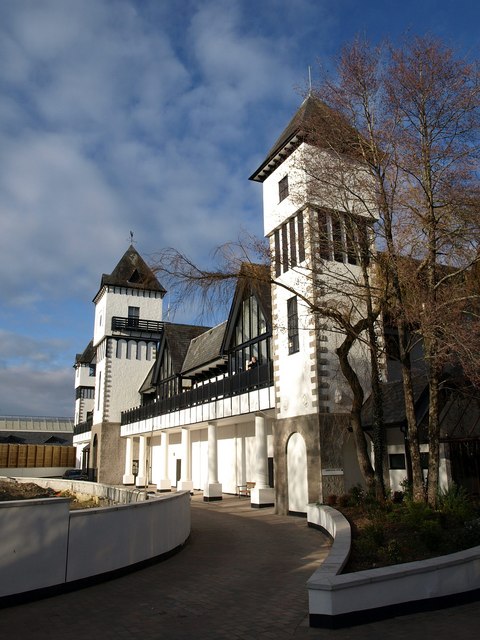
Ilford Park Polish Home
Ilford Park Polish Home is a residential and nursing care home in Stover, Devon, in England run by the Ministry of Defence. The site was one of 45 resettlement...

Stover, Teigngrace
Stover is a historic estate in the parish of Teigngrace, about half way between the towns of Newton Abbot and Bovey Tracey in South Devon, England. It...
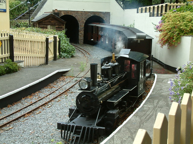
Bickington Steam Railway
Located at Trago Mills Regional Shopping Centre, Newton Abbot, the 10+1⁄4 in (260 mm) ridable miniature railway Bickington Steam Railway was opened in...
Trago Mills
Trago Mills (often known simply as Trago) is a chain of four department stores in south Cornwall, south Devon in England, and south Wales. It owns a site...

Ventiford Brook
Ventiford Brook is a stream located in Devon, England. It was used as one of the water courses that filled the Stover Canal, when it was in use, along...
Stover Country Park
Stover Country Park is an area of woodland park 2 miles (3 km) north of Newton Abbot in the parish of Teigngrace, Devon, within the former grounds of...

Teigngrace
Teigngrace is a civil parish centred on a hamlet that lies about two miles north of the town of Newton Abbot in Devon, England. According to the 2001 census...
Nearby Amenities
Located within 500m of 50.551345,-3.6515542Have you been to Ash Hill Copse?
Leave your review of Ash Hill Copse below (or comments, questions and feedback).