Moorlands Copse

Wood, Forest in Devon Teignbridge

England

Moorlands Copse

Newton Abbot : Ringslade Road Looking along Ringslade Road off Bovey Tracey Road.
Newton Abbot : Ringslade Road Credit: Lewis Clarke

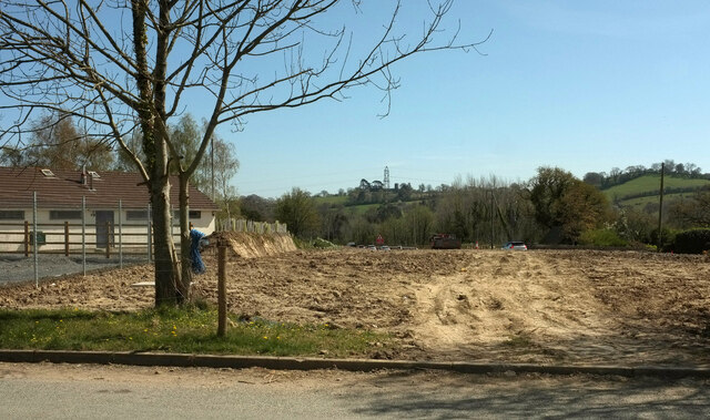
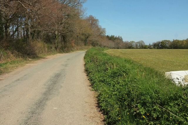
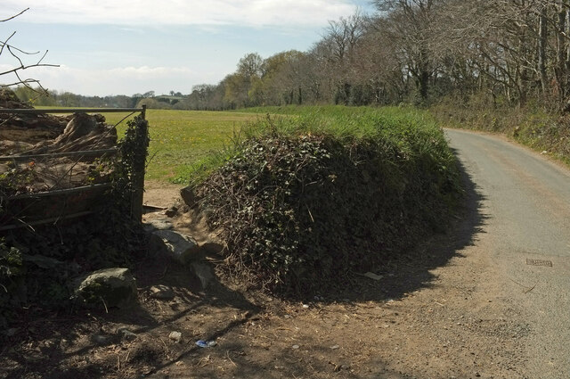
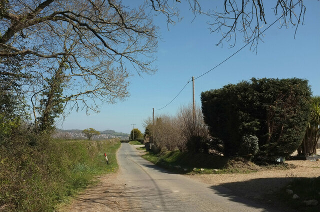
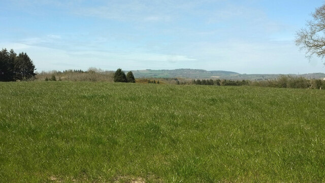
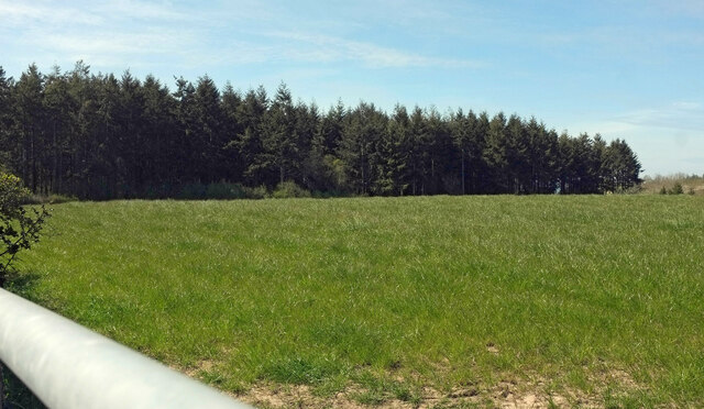
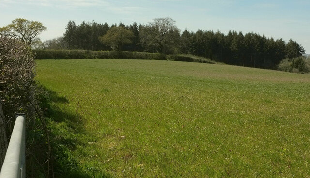
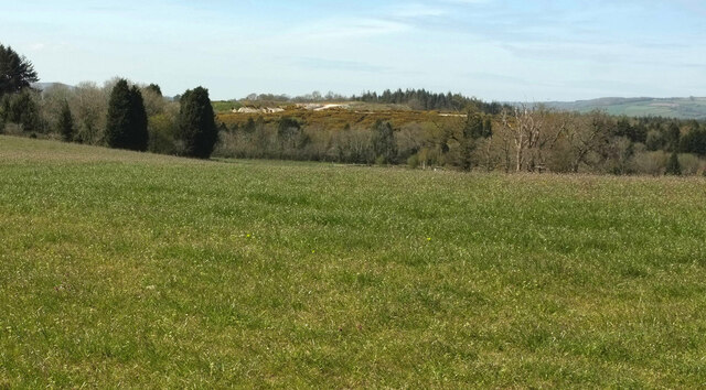
Moorlands Copse is a picturesque woodland located in Devon, England. Covering an area of approximately 50 acres, it is a stunning example of a mixed deciduous forest. The copse is situated in an area of natural beauty, surrounded by rolling hills and meandering streams.

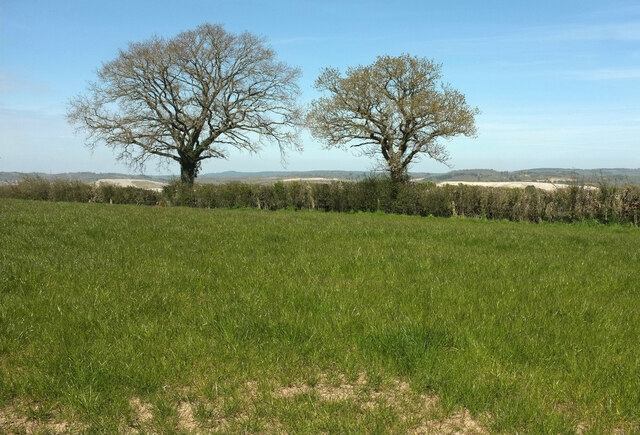
The woodland is characterized by its diverse range of tree species, including oak, beech, ash, and birch. These towering trees create a dense canopy, providing shelter and shade for a variety of wildlife. The forest floor is adorned with a rich carpet of ferns, bluebells, and wildflowers, adding to its enchanting atmosphere.

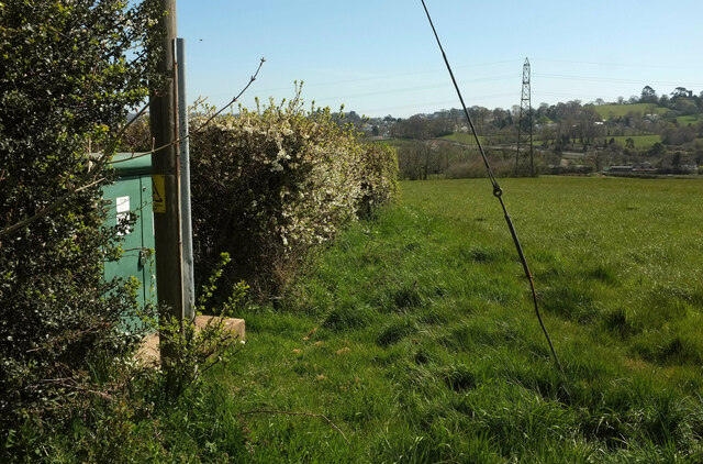
Moorlands Copse is home to a wide array of animal species. Birdwatchers will delight in spotting woodpeckers, owls, and various songbirds, while nature enthusiasts may catch a glimpse of deer, badgers, and foxes. The forest also supports a plethora of insects and invertebrates, making it a haven for entomologists and nature lovers alike.

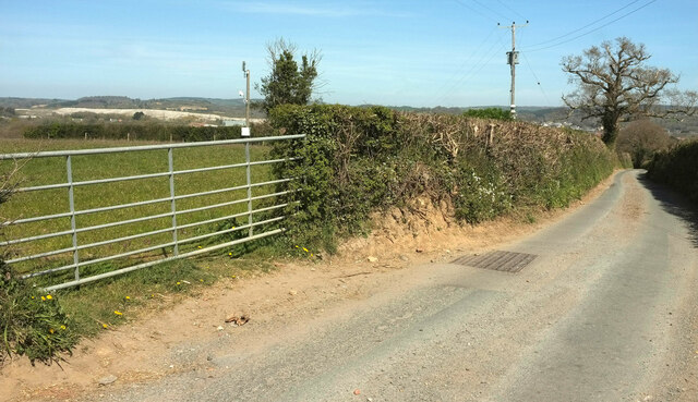
The copse offers several well-maintained walking trails, allowing visitors to explore its beauty at their own pace. These paths wind through the forest, taking visitors past ancient trees, babbling brooks, and hidden clearings. There are also designated picnic areas where visitors can relax and enjoy the peaceful surroundings.

Moorlands Copse is a popular destination for nature lovers, photographers, and families seeking a tranquil escape from the hustle and bustle of everyday life. With its natural beauty and abundant wildlife, it is a true gem in the heart of Devon.

If you have any feedback on the listing, please let us know in the comments section below.

Moorlands Copse Images

Images are sourced within 2km of 50.551608/-3.6450981 or Grid Reference SX8373. Thanks to Geograph Open Source API. All images are credited.

Newton Abbot : Ringslade Road Looking along Ringslade Road off Bovey Tracey Road.
Newton Abbot : Ringslade Road
Looking along Ringslade Road off Bovey Tracey Road.
Islington : Trago Mills A path through the shopping area.
Islington : Trago Mills
A path through the shopping area.
Roadwork queue, Forches Cross The notice reads "work starts here 10/02/20 for 43 weeks: delays possible". This was taken about 62 weeks after that date and, once the initial Covid lockdown eased and traffic returned to normal levels, prodigious queues have been a constant feature of the A382 between Drumbridges and Newton Abbot, as they were in February and March 2020. The work has now (summer 2021) been completed, with the loss of two kilometres of fine roadside hedges. However, as the smaller sign points out, this was just phase 1; there is a lot more road widening to come.
Roadwork queue, Forches Cross
The notice reads "work starts here 10/02/20 for 43 weeks: delays possible". This was taken about 62 weeks after that date and, once the initial Covid lockdown eased and traffic returned to normal levels, prodigious queues have been a constant feature of the A382 between Drumbridges and Newton Abbot, as they were in February and March 2020. The work has now (summer 2021) been completed, with the loss of two kilometres of fine roadside hedges. However, as the smaller sign points out, this was just phase 1; there is a lot more road widening to come.
Cleared woodland, Butland's Plantation A swathe of the wood has been removed in connection with road widening of the A382 (see <a href="https://www.geograph.org.uk/photo/6951962">SX8473 : Roadwork queue, Forches Cross</a>). View from Greycoat Lane.
Cleared woodland, Butland's Plantation
A swathe of the wood has been removed in connection with road widening of the A382 (see SX8473 : Roadwork queue, Forches Cross). View from Greycoat Lane.
Pavilion near Forches Cross Looking in the opposite direction from <a href="https://www.geograph.org.uk/photo/6952601">SX8473 : Cleared woodland, Butland's Plantation</a>. The playing fields relating to the pavilion are off to the left so presumably both will survive the roadworks that have caused the cleared ground on the right; traffic can be seen queuing (see <a href="https://www.geograph.org.uk/photo/6951962">SX8473 : Roadwork queue, Forches Cross</a>). On the horizon beside the central pylon is the church at Highweek <a href="https://www.geograph.org.uk/photo/902390">SX8572 : All Saints Church, Highweek</a>.
Pavilion near Forches Cross
Looking in the opposite direction from SX8473 : Cleared woodland, Butland's Plantation. The playing fields relating to the pavilion are off to the left so presumably both will survive the roadworks that have caused the cleared ground on the right; traffic can be seen queuing (see SX8473 : Roadwork queue, Forches Cross). On the horizon beside the central pylon is the church at Highweek SX8572 : All Saints Church, Highweek.
Greycoat Lane With Butland's Plantation on the left. Four months on, I forget what the white object on the right is - a plastic barrier, perhaps.
Greycoat Lane
With Butland's Plantation on the left. Four months on, I forget what the white object on the right is - a plastic barrier, perhaps.
Greycoat Lane Passing the entrance to UCZ Paintball Park in Butland's Plantation.
Greycoat Lane
Passing the entrance to UCZ Paintball Park in Butland's Plantation.
Greycoat Lane The lane curves past a field on the left and Butland's Plantation on the right.
Greycoat Lane
The lane curves past a field on the left and Butland's Plantation on the right.
Greycoat Lane Passing houses on the right. The houses in the distance are at Kingsteignton.
Greycoat Lane
Passing houses on the right. The houses in the distance are at Kingsteignton.
Entrance to pet cremation centre From Greycoat Lane.
Entrance to pet cremation centre
From Greycoat Lane.
Bank by Greycoat Lane A grassy bank just east of <a href="https://www.geograph.org.uk/photo/6952676">SX8473 : Entrance to pet cremation centre</a>.
Bank by Greycoat Lane
A grassy bank just east of SX8473 : Entrance to pet cremation centre.
Trees by Greycoat Lane Along a hedge on the north side of the road.
Trees by Greycoat Lane
Along a hedge on the north side of the road.
Field by Greycoat Lane Looking left from <a href="https://www.geograph.org.uk/photo/6952684">SX8473 : Trees by Greycoat Lane</a>. A curious parish boundary here, with a narrow extension of Newton Abbot parish extending across this field into Teigngrace.
Field by Greycoat Lane
Looking left from SX8473 : Trees by Greycoat Lane. A curious parish boundary here, with a narrow extension of Newton Abbot parish extending across this field into Teigngrace.
Butland's Plantation Looking left from <a href="https://www.geograph.org.uk/photo/6952689">SX8473 : Field by Greycoat Lane</a> across the same field.
Butland's Plantation
Looking left from SX8473 : Field by Greycoat Lane across the same field.
Greycoat Lane Passing gateways on each side as the road narrows considerably. A glimpse of the extensive clay pits in the Teign valley over the gate.
Greycoat Lane
Passing gateways on each side as the road narrows considerably. A glimpse of the extensive clay pits in the Teign valley over the gate.
Field and hedge by Greycoat Lane Looking right from <a href="https://www.geograph.org.uk/photo/6952704">SX8473 : Greycoat Lane</a>.
Field and hedge by Greycoat Lane
Looking right from SX8473 : Greycoat Lane.
Towards Butland's Plantation From the gate seen in <a href="https://www.geograph.org.uk/photo/6952704">SX8473 : Greycoat Lane</a>, looking back to the left.
Towards Butland's Plantation
From the gate seen in SX8473 : Greycoat Lane, looking back to the left.
Field by Greycoat Lane Looking right from <a href="https://www.geograph.org.uk/photo/6952729">SX8473 : Towards Butland's Plantation</a>. More clay working in evidence in the background - see also <a href="https://www.geograph.org.uk/photo/6952704">SX8473 : Greycoat Lane</a>,
Field by Greycoat Lane
Looking right from SX8473 : Towards Butland's Plantation. More clay working in evidence in the background - see also SX8473 : Greycoat Lane,
Show me another place!

Moorlands Copse is located at Grid Ref: SX8373 (Lat: 50.551608, Lng: -3.6450981)

Administrative County: Devon

District: Teignbridge

Police Authority: Devon and Cornwall

What 3 Words

///century.gone.described. Near Newton Abbot, Devon

Related Wikis

Stover, Teigngrace

Stover is a historic estate in the parish of Teigngrace, about half way between the towns of Newton Abbot and Bovey Tracey in South Devon, England. It...

Ilford Park Polish Home

Ilford Park Polish Home is a residential and nursing care home in Stover, Devon, in England run by the Ministry of Defence. The site was one of 45 resettlement...

Seale-Hayne College

Seale-Hayne College was an agricultural college in Devon, England, which operated from 1919 to 2005. It was the only agricultural college in the United...

Ventiford Brook

Ventiford Brook is a stream located in Devon, England. It was used as one of the water courses that filled the Stover Canal, when it was in use, along...

Nearby Amenities

Located within 500m of 50.551608,-3.6450981
School
Stover School
Wikidata: Q67082335
Lat/Long: 50.5553771/-3.642561
The data included in this document is from www.openstreetmap.org. The data is made available under ODbL.

Have you been to Moorlands Copse?

Leave your review of Moorlands Copse below (or comments, questions and feedback).