Longmoor Copse

Wood, Forest in Devon North Devon

England

Longmoor Copse

Rose Ash : Country Lane A trig point can be seen on the left.
Rose Ash : Country Lane Credit: Lewis Clarke

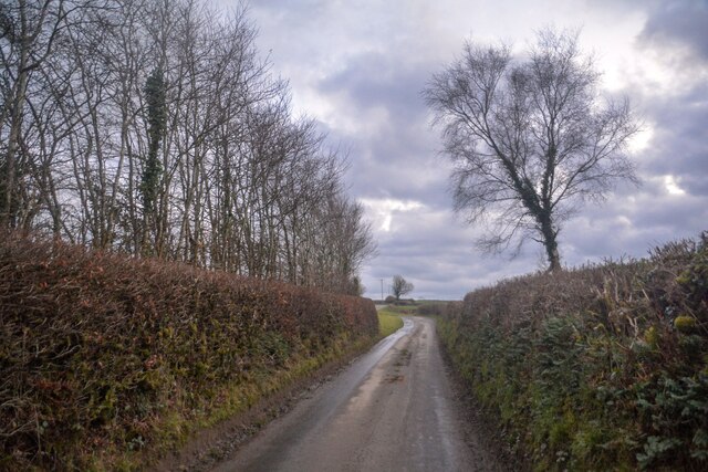
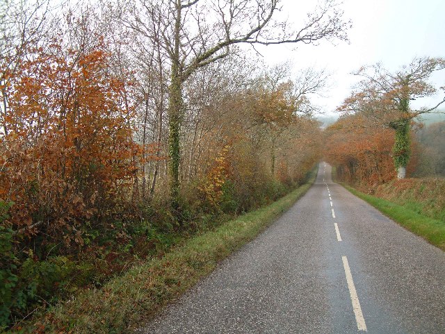
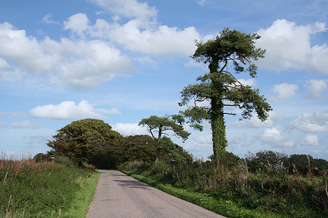
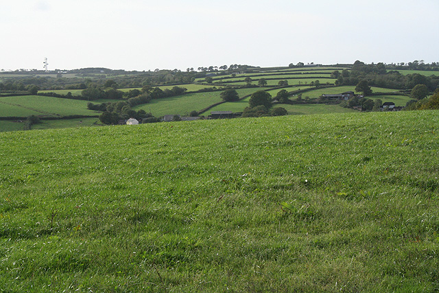
Longmoor Copse is a picturesque woodland located in the county of Devon, England. Situated near the town of Tiverton, this enchanting forest covers an area of approximately 100 acres and is a popular destination for nature lovers and outdoor enthusiasts.

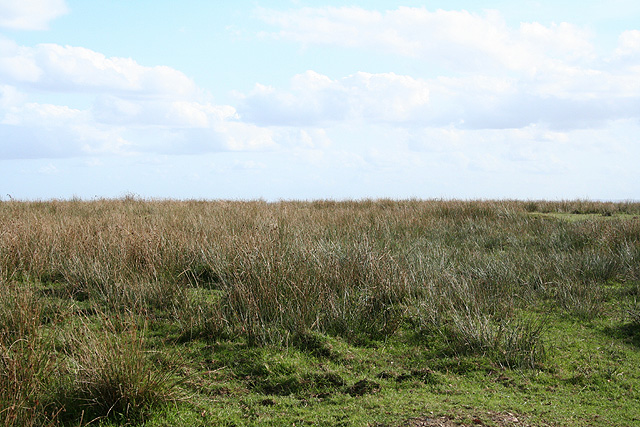
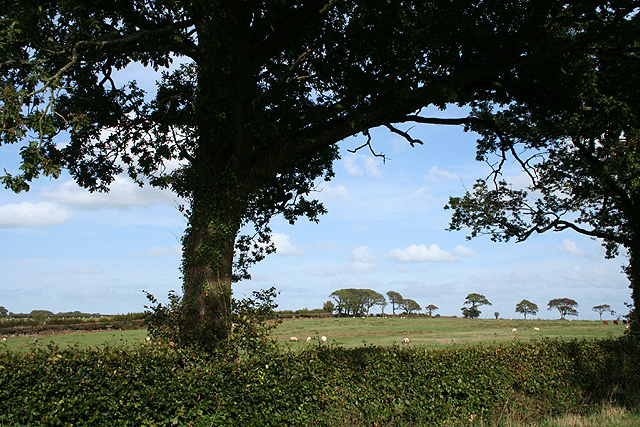
The copse boasts a diverse range of flora and fauna, making it a haven for wildlife. Ancient oak and beech trees dominate the landscape, their towering canopies providing shelter to countless species of birds, including woodpeckers, tits, and nuthatches. The forest floor is adorned with a carpet of bluebells during the spring, creating a breathtaking spectacle of color and fragrance.

Tranquil walking trails wind their way through the copse, allowing visitors to immerse themselves in its natural beauty. These paths are well-maintained and offer a variety of routes suitable for all levels of fitness. Whether it's a leisurely stroll or a more challenging hike, Longmoor Copse has something to offer for everyone.

The forest is also home to a small stream, which meanders through the woodland, adding to its idyllic charm. The sound of running water adds to the peaceful ambiance, providing a soothing backdrop for those seeking solace in nature.

Longmoor Copse is a designated Site of Special Scientific Interest, highlighting its ecological importance and the need for its conservation. The management of the forest is overseen by local authorities, ensuring the preservation of its natural habitats and the protection of its delicate ecosystem.

Overall, Longmoor Copse is a captivating woodland that offers visitors a chance to escape the hustle and bustle of everyday life and reconnect with nature. Its beauty and tranquility make it an ideal destination for those seeking a peaceful retreat in the heart of Devon.

If you have any feedback on the listing, please let us know in the comments section below.

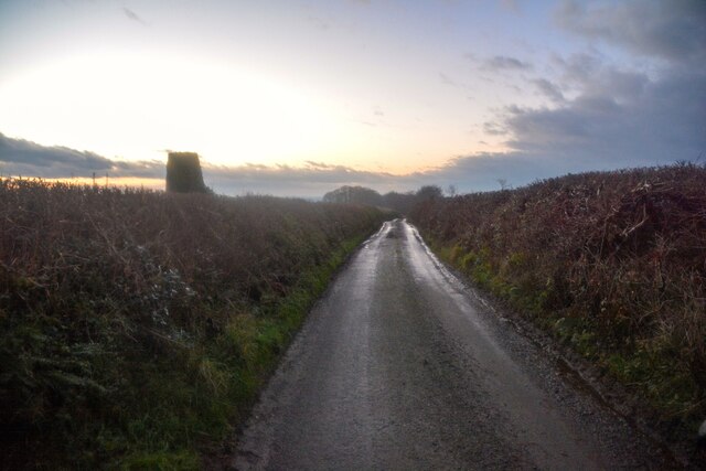
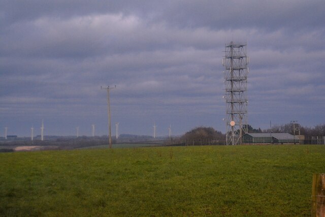
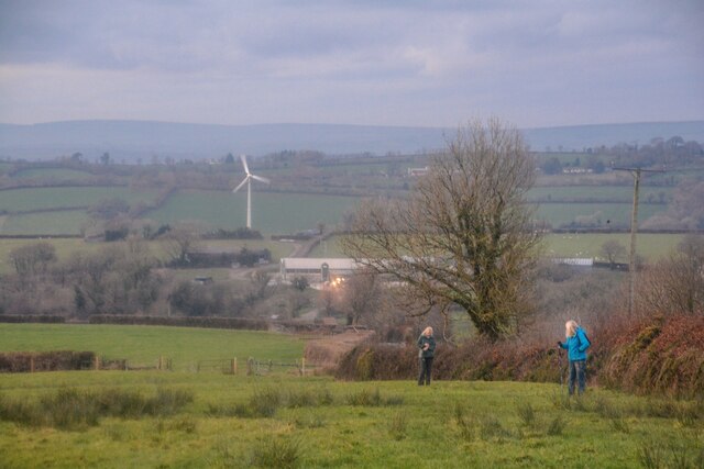
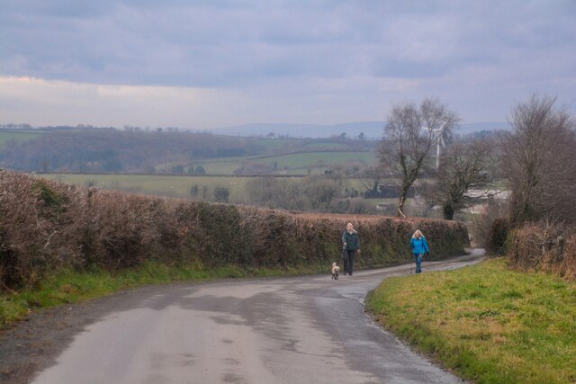
Longmoor Copse Images

Images are sourced within 2km of 50.960229/-3.700972 or Grid Reference SS8019. Thanks to Geograph Open Source API. All images are credited.

Rose Ash : Country Lane A trig point can be seen on the left.
Rose Ash : Country Lane
A trig point can be seen on the left.
Rose Ash : Country Lane Near the junction of Harp's Corner Cross.
Rose Ash : Country Lane
Near the junction of Harp's Corner Cross.
Rose Ash : Country Lane A small lane at Harp's Corner Cross beyond the gate.
Rose Ash : Country Lane
A small lane at Harp's Corner Cross beyond the gate.
Rose Ash : Grassy Field A mast in the corner of the field.
Rose Ash : Grassy Field
A mast in the corner of the field.
Rose Ash : Grassy Field Looking across the countryside.
Rose Ash : Grassy Field
Looking across the countryside.
Rose Ash : Country Lane The road heads down the hill.
Rose Ash : Country Lane
The road heads down the hill.
Rose Ash : Country Lane The lane heads up the hill.
Rose Ash : Country Lane
The lane heads up the hill.
Rose Ash : Country Lane Looking along the road.
Rose Ash : Country Lane
Looking along the road.
Rose Ash : Track A track heads to The Hatchery.
Rose Ash : Track
A track heads to The Hatchery.
Wooded lane near Nutcombe Farm
Hay store near Nutcombe Farm
Rose Ash: on Nutcombe Ridge Looking east-north-east in the direction of Batsworthy Cross
Rose Ash: on Nutcombe Ridge
Looking east-north-east in the direction of Batsworthy Cross
Rose Ash: The Ridge Farm near Fanny’s Cross. Looking north east
Rose Ash: The Ridge
Farm near Fanny’s Cross. Looking north east
Creacombe: Lower Moor Close to Batsworthy Cross where it is proposed that a large wind turbine be erected. Local residents are far from best pleased
Creacombe: Lower Moor
Close to Batsworthy Cross where it is proposed that a large wind turbine be erected. Local residents are far from best pleased
Creacombe: by Batsworthy Cross Roadside view with oak tree. Looking east-north-east
Creacombe: by Batsworthy Cross
Roadside view with oak tree. Looking east-north-east
Creacombe: East Batsworthy Farm Banner at farm entrance proclaiming opposition to a proposed wind turbine – on a large scale – to be located at nearby Batsworthy Cross. Looking south to farmland
Creacombe: East Batsworthy Farm
Banner at farm entrance proclaiming opposition to a proposed wind turbine – on a large scale – to be located at nearby Batsworthy Cross. Looking south to farmland
Creacombe: near Creacombemoor Cross Looking west-north-west over the valley of the Sturcombe River. The communications mast at Venhay Cross can be seen on the skyline, left. The Two Moors Way passes by Creacombemoor Cross
Creacombe: near Creacombemoor Cross
Looking west-north-west over the valley of the Sturcombe River. The communications mast at Venhay Cross can be seen on the skyline, left. The Two Moors Way passes by Creacombemoor Cross
Rose Ash: barns near Densdon Gate On the edge of Ditchett Moor, looking east-north-east
Rose Ash: barns near Densdon Gate
On the edge of Ditchett Moor, looking east-north-east
Show me another place!

Longmoor Copse is located at Grid Ref: SS8019 (Lat: 50.960229, Lng: -3.700972)

Administrative County: Devon

District: North Devon

Police Authority: Devon and Cornwall

What 3 Words

///bagpipes.dreams.youngest. Near Witheridge, Devon

Related Wikis

Creacombe

Creacombe is a small village and former civil parish, now in the parish of Rackenford, in the North Devon district of Devon, England. Its nearest town...

Batsworthy

Batsworthy is a village in Devon, England. == References ==

Rose Ash

Rose Ash, formerly Ralph-Esse, is a village and civil parish in North Devon district, Devon, England. In the 2011 census it was recorded as having a population...

Ash Mill

Ash Mill is a village in Devon, England.Ashmill was the site of Ashwater station on the former L.S.W.R. North Cornwall line which closed in the 1960s....

Nearby Amenities

Located within 500m of 50.960229,-3.700972
Ford: yes
Lat/Long: 50.958495/-3.7012532
Ditchett Cross
Junction: yes
Lat/Long: 50.9620886/-3.6959476
Generator Method: photovoltaic
Generator Output Electricity: yes
Generator Source: solar
Generator Type: solar_photovoltaic_panel
Location: roof
Power: generator
Lat/Long: 50.9633581/-3.7006666
Power: pole
Source: bing
Transformer: distribution
Lat/Long: 50.9572615/-3.7009473
Power: pole
Source: bing
Lat/Long: 50.9570508/-3.7053016
Power: pole
Source: bing
Lat/Long: 50.956926/-3.6966003
Power: pole
Source: bing
Lat/Long: 50.9568595/-3.6974791
Power: pole
Source: bing
Lat/Long: 50.9567616/-3.6988611
Power: pole
Source: bing
Lat/Long: 50.9566664/-3.7002123
Power: pole
Source: bing
Lat/Long: 50.9569602/-3.7041822
Power: pole
Source: bing
Lat/Long: 50.9568697/-3.7028501
Power: pole
Source: bing
Lat/Long: 50.9567671/-3.7015239
Power: pole
Source: bing
Transformer: distribution
Lat/Long: 50.9594396/-3.6947078
The data included in this document is from www.openstreetmap.org. The data is made available under ODbL.

Have you been to Longmoor Copse?

Leave your review of Longmoor Copse below (or comments, questions and feedback).