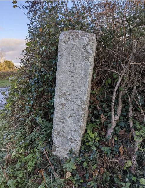
Northcombe Copse
Wood, Forest in Devon Teignbridge
England
Northcombe Copse
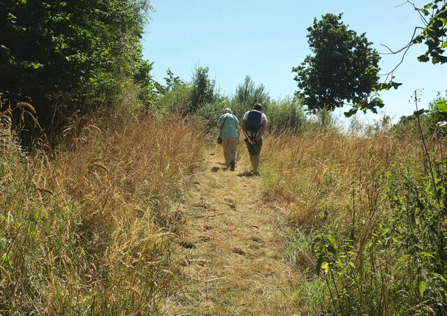
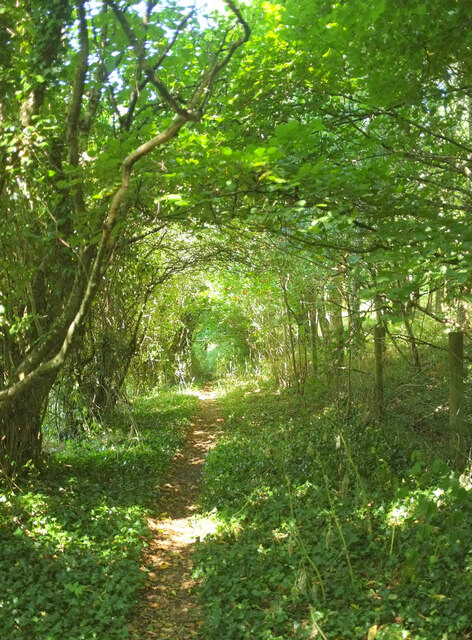
Northcombe Copse is a picturesque woodland located in the county of Devon, England. Covering an area of approximately 100 acres, this ancient woodland is a haven for nature enthusiasts and offers a tranquil escape from the hustle and bustle of everyday life.
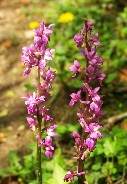
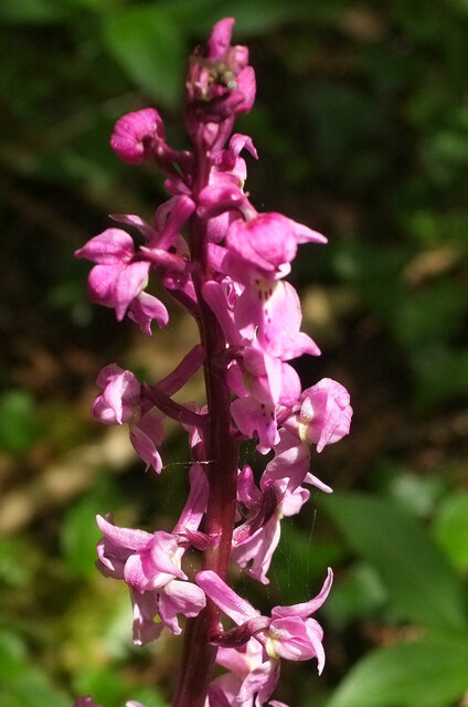
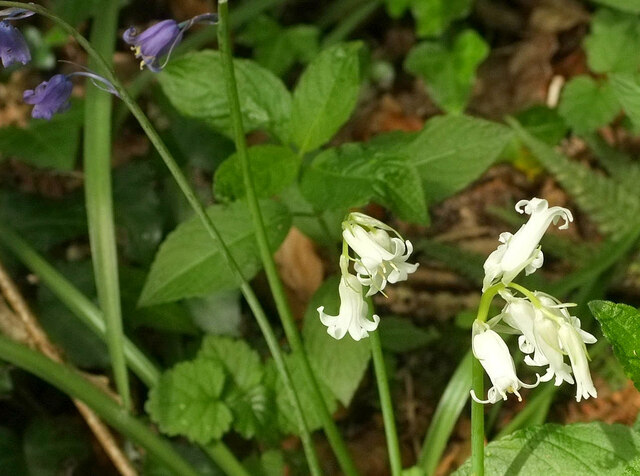
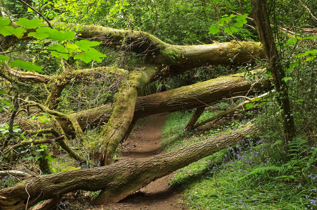
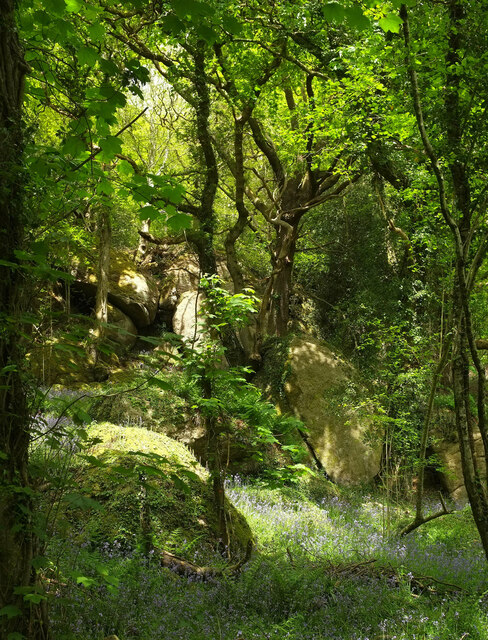
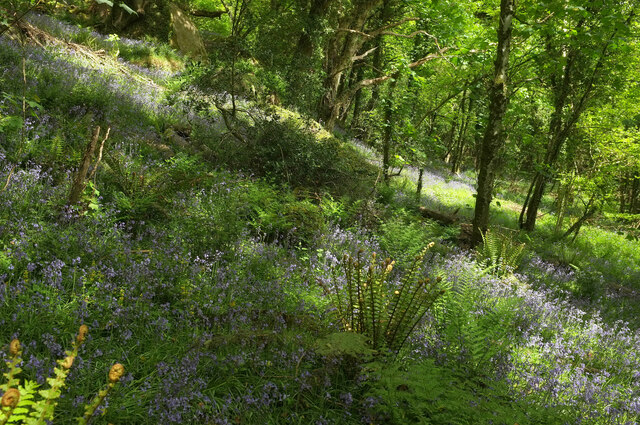
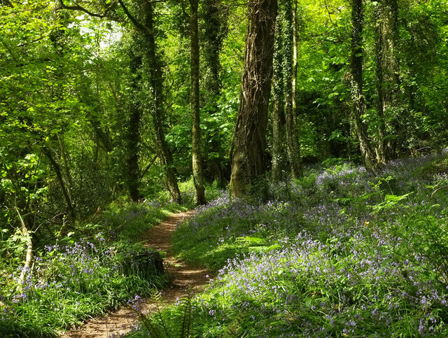
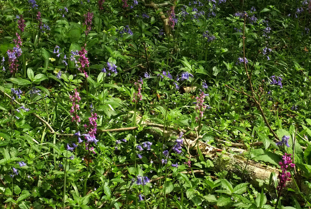
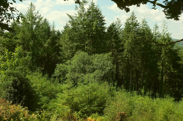
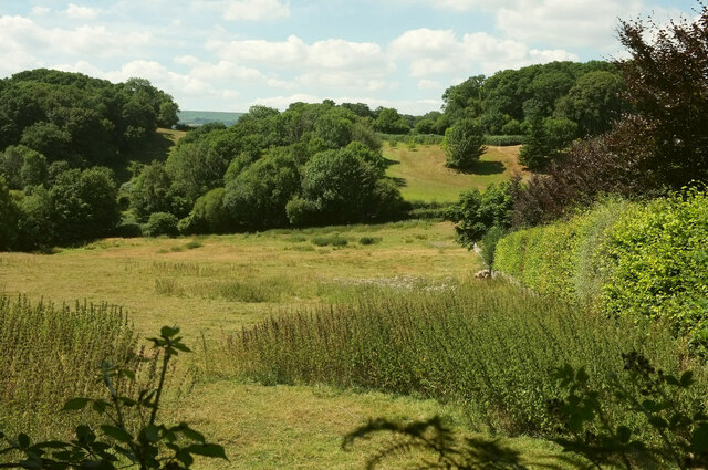
The copse is predominantly made up of broadleaf trees, including oak, beech, and ash, which provide a rich and diverse habitat for a wide range of flora and fauna. The forest floor is carpeted with bluebells and wild garlic during the spring months, creating a stunning display of color and scent.
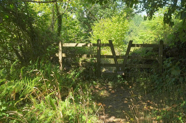
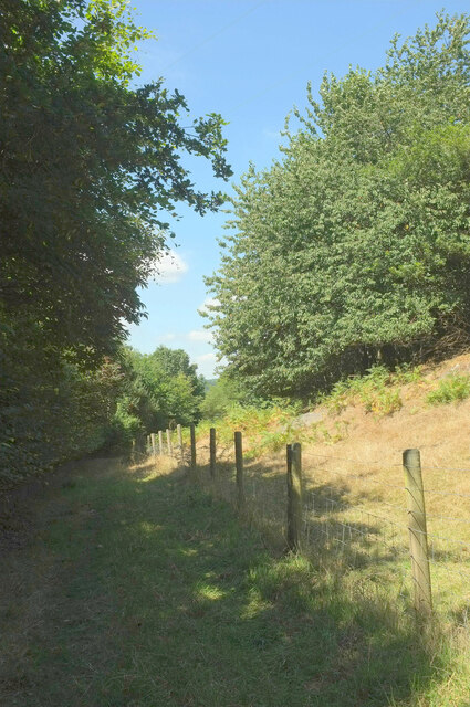
Visitors to Northcombe Copse can enjoy a network of well-maintained walking trails that meander through the woodland, allowing for exploration and discovery of the natural wonders that abound. Birdwatchers will delight in the opportunity to spot a variety of species, including woodpeckers, owls, and various songbirds.
In addition to its natural beauty, the copse also plays an important ecological role. It acts as a corridor for wildlife, allowing animals to move freely between different habitats. The diverse range of tree species provides nesting sites for birds and shelter for small mammals.
Northcombe Copse is managed by a local conservation group in collaboration with the Forestry Commission, ensuring its preservation and protection for future generations to enjoy. The copse is open to the public year-round, with no admission fee, making it an accessible and affordable destination for nature lovers of all ages.
Overall, Northcombe Copse offers a peaceful and enchanting woodland experience, inviting visitors to connect with nature and appreciate the beauty of this ancient forest in the heart of Devon.
If you have any feedback on the listing, please let us know in the comments section below.
Northcombe Copse Images
Images are sourced within 2km of 50.612529/-3.6885663 or Grid Reference SX8080. Thanks to Geograph Open Source API. All images are credited.
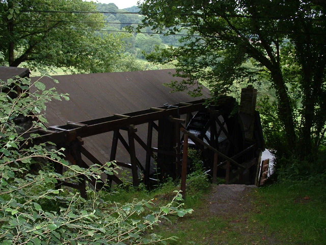
![Notices below Beadon Bridge There are notices at the start of the public footpath to Hennock via Great Rock. One of the notices, undated, reads:
Great Rock Mine
All the adits are on private land
Access to those on land owned by &quot;The Sargent Trust&quot; is controlled by the Devon &amp; Cornwall Underground Council
Visits to these adits may be arranged through [faded]
Please do not destroy the locks but contact DCUC
There are no access agreements to any of the adits which are on land owned by other landowners. However DCUC is attempting negotiation with these landowners.
The disused Great Rock Mine is in SX8281.](https://s0.geograph.org.uk/geophotos/02/59/78/2597804_4ba598aa.jpg)
Northcombe Copse is located at Grid Ref: SX8080 (Lat: 50.612529, Lng: -3.6885663)
Administrative County: Devon
District: Teignbridge
Police Authority: Devon and Cornwall
What 3 Words
///remembers.observer.annoys. Near Bovey Tracey, Devon
Nearby Locations
Related Wikis
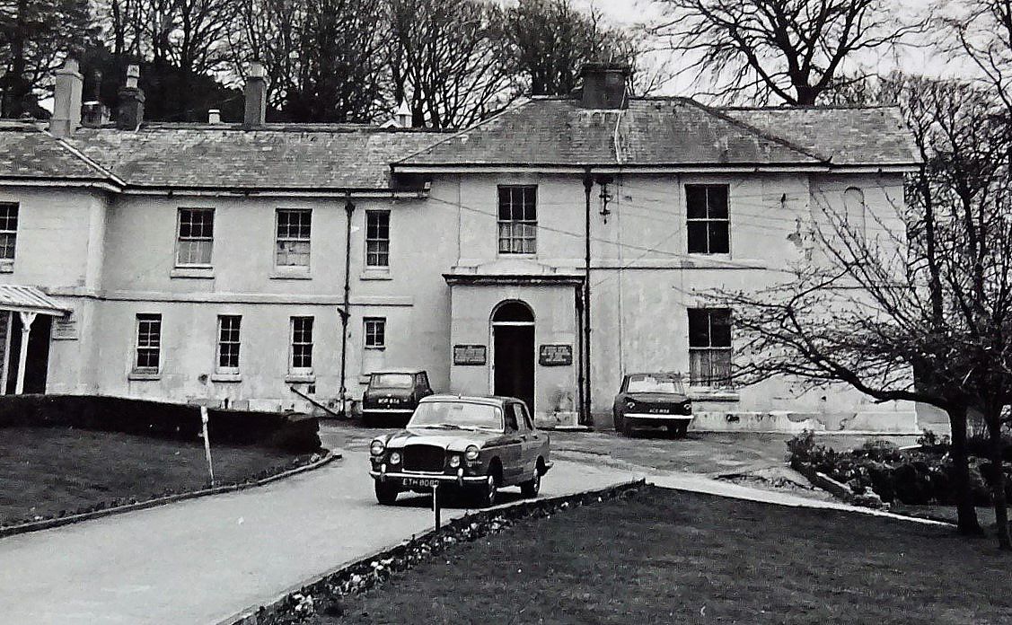
Hawkmoor Hospital
Hawkmoor Hospital, originally known as Hawkmoor County Sanatorium, was a specialist hospital near Bovey Tracey in Devon, England, founded in 1913 as a...

Pullabrook Halt railway station
Pullabrook Halt was a railway station opened in 1931 by the Great Western Railway to serve the hamlet of Pullabrook that lies between Bovey Tracey and...
Kelly Mine, Devon
Kelly Mine is a disused metalliferous mine situated on the eastern flank of Dartmoor near the village of Lustleigh in Devon, England. It was intermittently...

Harbourne River
The Harbourne River is a river in Devon in England. Its estuary is known as Bow Creek, and flows into the River Dart near Stoke Gabriel. The river rises...
Nearby Amenities
Located within 500m of 50.612529,-3.6885663Have you been to Northcombe Copse?
Leave your review of Northcombe Copse below (or comments, questions and feedback).