Hawkmoor Park
Settlement in Devon Teignbridge
England
Hawkmoor Park
Hawkmoor Park is a charming and picturesque park located in Devon, England. Situated in the heart of the South Hams district, it covers an area of approximately 50 acres, offering visitors a peaceful and tranquil escape from the hustle and bustle of everyday life.
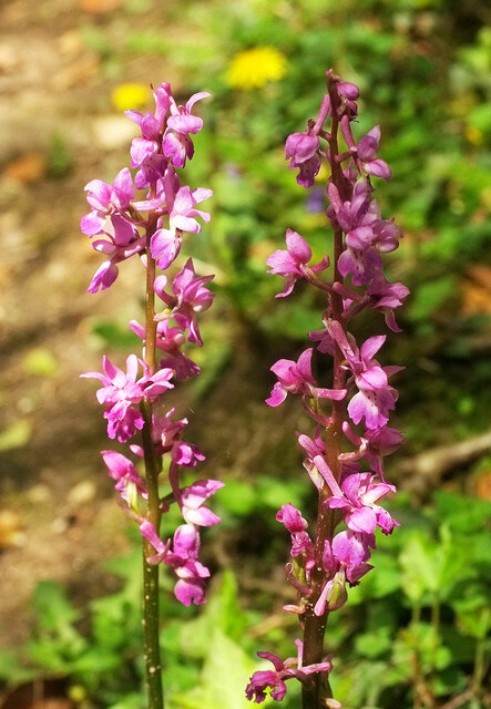
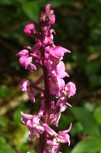
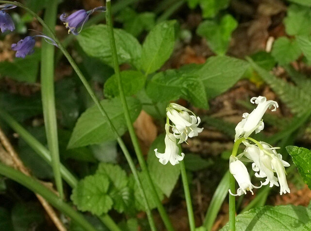
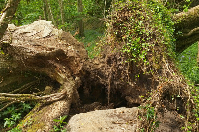
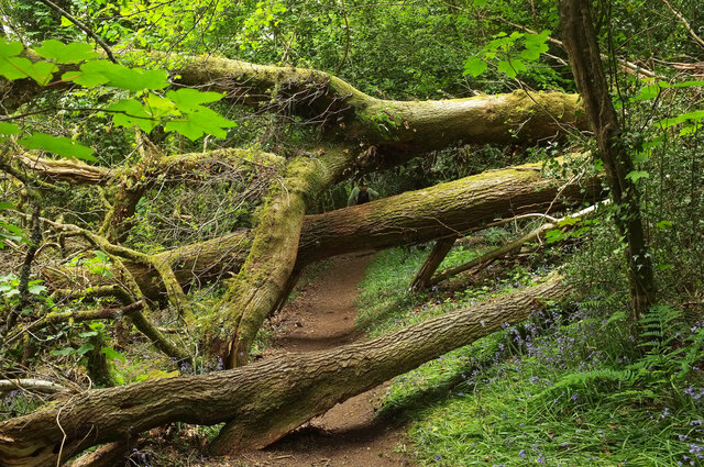
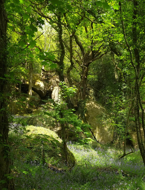
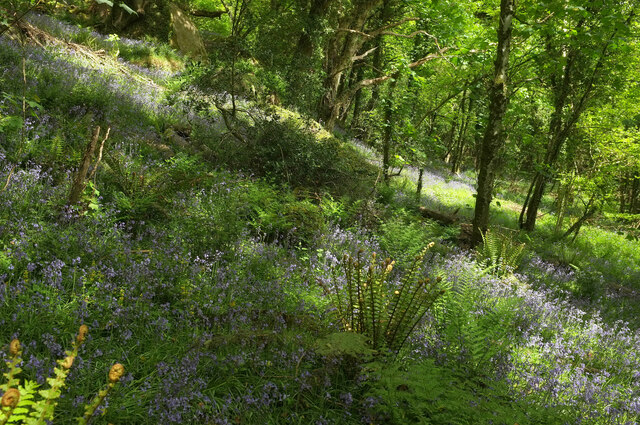
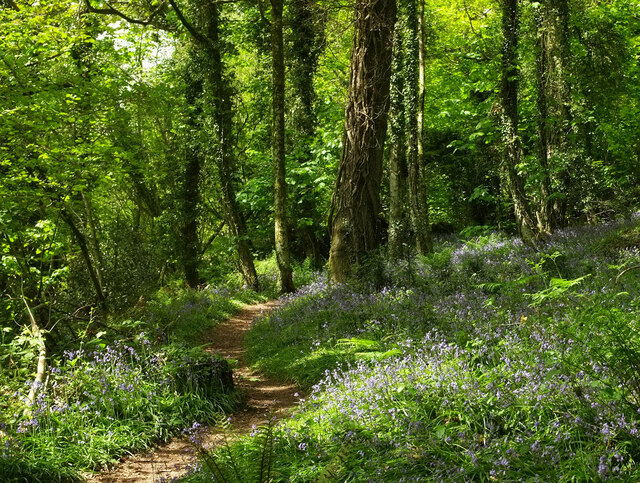
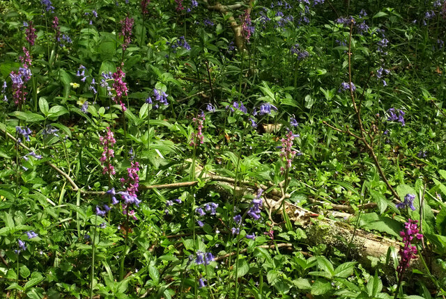
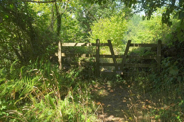
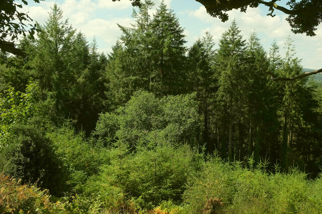
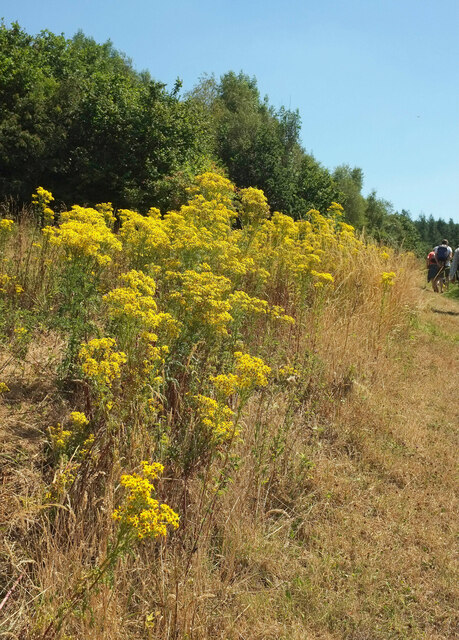
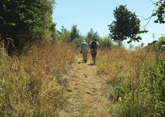
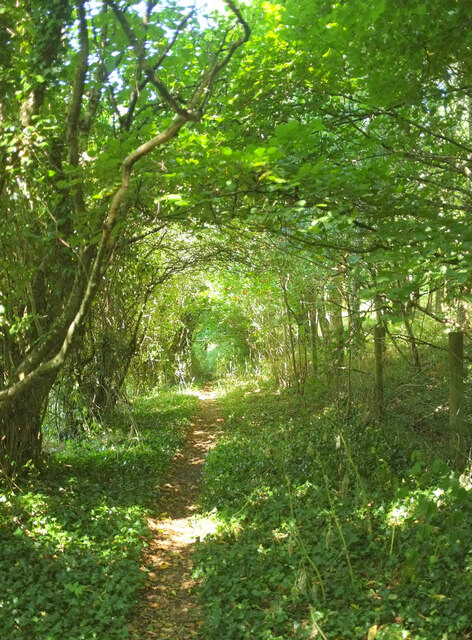
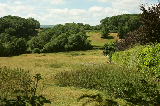
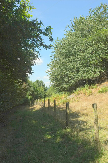
The park is well-known for its stunning natural beauty, with rolling hills, lush green fields, and enchanting woodlands. It is home to a diverse range of flora and fauna, making it a haven for nature lovers and wildlife enthusiasts. Visitors can enjoy leisurely walks along the well-maintained trails that wind through the park, allowing them to explore its hidden gems and discover the breathtaking views.
Hawkmoor Park offers various recreational activities for all ages. It features a children's play area, providing a safe and fun environment for kids to enjoy. The park also has several picnic spots, making it an ideal location for families and friends to gather and enjoy a day out in nature.
Additionally, the park hosts various events and festivals throughout the year, attracting both locals and tourists alike. From music concerts to food fairs, there is always something happening at Hawkmoor Park that appeals to a wide range of interests.
With its natural beauty, abundant wildlife, and diverse recreational activities, Hawkmoor Park is a true gem in the Devon countryside. Whether you are seeking a peaceful retreat, a family day out, or simply a place to reconnect with nature, this park offers a delightful experience for everyone.
If you have any feedback on the listing, please let us know in the comments section below.
Hawkmoor Park Images
Images are sourced within 2km of 50.615492/-3.6931958 or Grid Reference SX8080. Thanks to Geograph Open Source API. All images are credited.
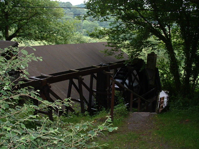
![Notices below Beadon Bridge There are notices at the start of the public footpath to Hennock via Great Rock. One of the notices, undated, reads:
Great Rock Mine
All the adits are on private land
Access to those on land owned by &quot;The Sargent Trust&quot; is controlled by the Devon &amp; Cornwall Underground Council
Visits to these adits may be arranged through [faded]
Please do not destroy the locks but contact DCUC
There are no access agreements to any of the adits which are on land owned by other landowners. However DCUC is attempting negotiation with these landowners.
The disused Great Rock Mine is in SX8281.](https://s0.geograph.org.uk/geophotos/02/59/78/2597804_4ba598aa.jpg)
Hawkmoor Park is located at Grid Ref: SX8080 (Lat: 50.615492, Lng: -3.6931958)
Administrative County: Devon
District: Teignbridge
Police Authority: Devon and Cornwall
What 3 Words
///gave.iteration.define. Near Bovey Tracey, Devon
Nearby Locations
Related Wikis
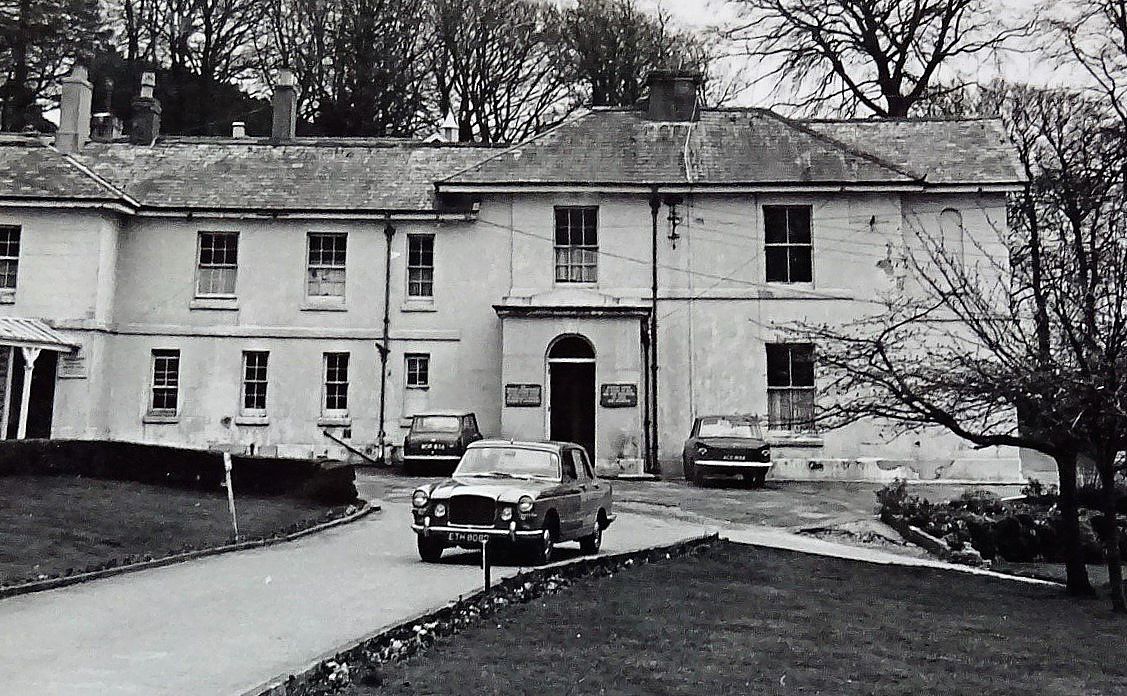
Hawkmoor Hospital
Hawkmoor Hospital, originally known as Hawkmoor County Sanatorium, was a specialist hospital near Bovey Tracey in Devon, England, founded in 1913 as a...
Kelly Mine, Devon
Kelly Mine is a disused metalliferous mine situated on the eastern flank of Dartmoor near the village of Lustleigh in Devon, England. It was intermittently...

Pullabrook Halt railway station
Pullabrook Halt was a railway station opened in 1931 by the Great Western Railway to serve the hamlet of Pullabrook that lies between Bovey Tracey and...

Lustleigh railway station
Lustleigh station was on the Moretonhampstead and South Devon Railway serving the village of Lustleigh, Devon, England. Lustleigh was the penultimate station...
Nearby Amenities
Located within 500m of 50.615492,-3.6931958Have you been to Hawkmoor Park?
Leave your review of Hawkmoor Park below (or comments, questions and feedback).