Leg Copse
Wood, Forest in Devon Teignbridge
England
Leg Copse
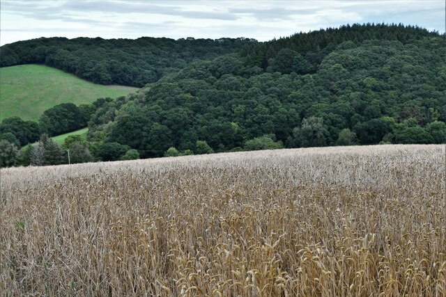
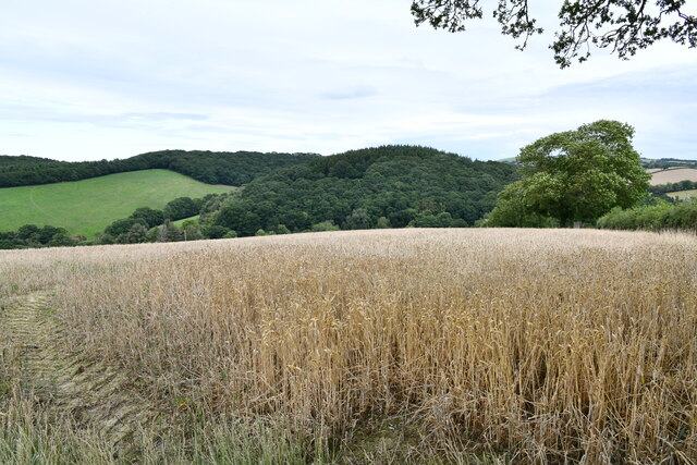
Leg Copse is a picturesque woodland located in Devon, England. Situated in the southwestern part of the county, the copse spans an area of approximately 20 acres. It is a part of the wider collection of woodlands known as the Devon Forest.
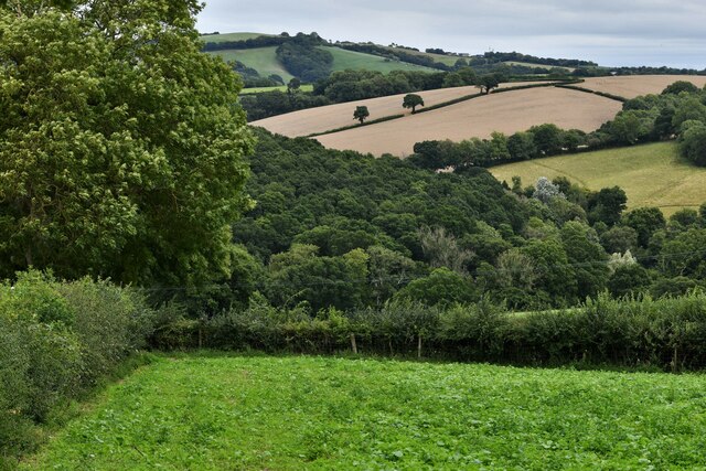
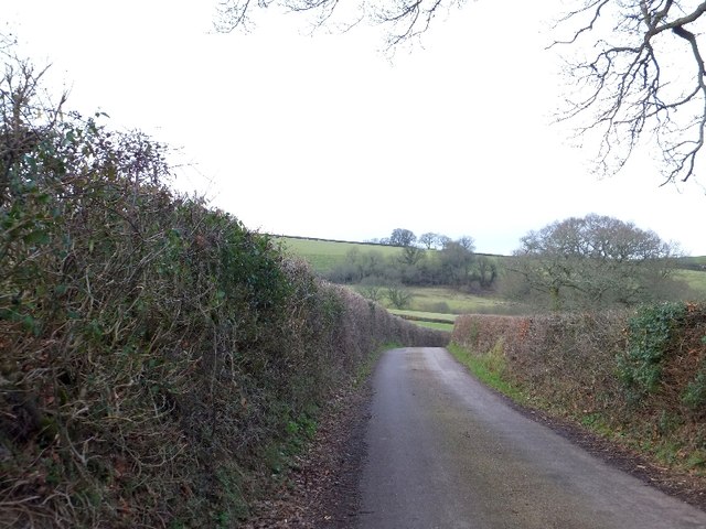
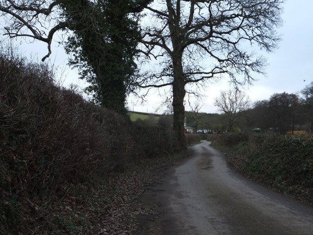
The copse is characterized by its dense and diverse vegetation, with a variety of tree species including oak, beech, and ash dominating the area. The trees form a dense canopy that provides shade and shelter for a range of wildlife. The forest floor is covered with a thick layer of leaf litter and undergrowth, creating a rich habitat for small mammals, birds, and insects.
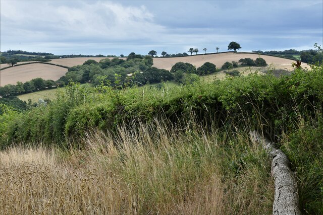
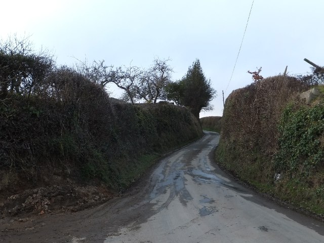
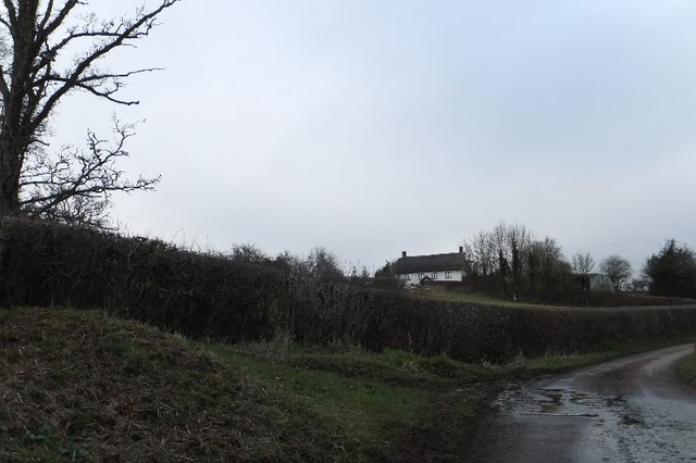
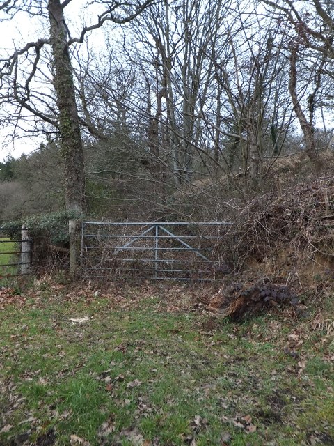
Leg Copse is accessible to the public, with designated walking trails winding through the woodland. These trails offer visitors the opportunity to explore the natural beauty of the copse and observe its flora and fauna. The peaceful and serene atmosphere of the copse makes it a popular destination for nature enthusiasts, hikers, and photographers.
The copse is also of historical significance, with remnants of ancient woodland management practices visible in the form of coppiced trees. Coppicing, a traditional method of forest management, involves periodically cutting back trees to encourage new growth and provide a sustainable source of wood. This practice has been carried out in Leg Copse for centuries, contributing to its diverse and healthy ecosystem.
Overall, Leg Copse in Devon is a captivating woodland that offers visitors a chance to immerse themselves in nature, learn about traditional forest management practices, and enjoy the tranquility of the great outdoors.
If you have any feedback on the listing, please let us know in the comments section below.
Leg Copse Images
Images are sourced within 2km of 50.752389/-3.6933683 or Grid Reference SX8096. Thanks to Geograph Open Source API. All images are credited.


Leg Copse is located at Grid Ref: SX8096 (Lat: 50.752389, Lng: -3.6933683)
Administrative County: Devon
District: Teignbridge
Police Authority: Devon and Cornwall
What 3 Words
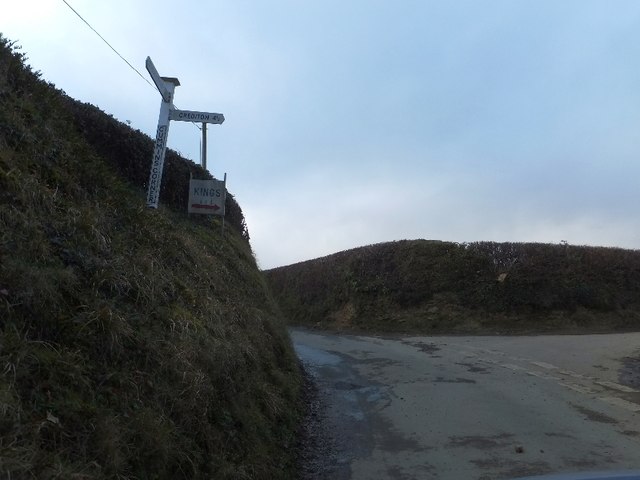
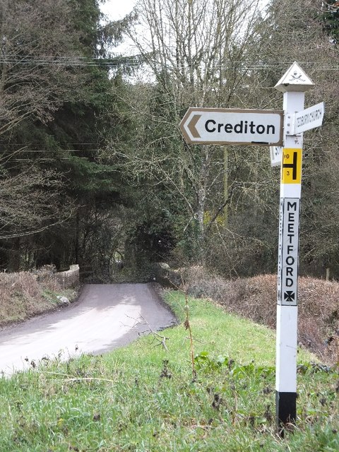
///sailing.roadways.bunk. Near Crediton, Devon
Nearby Locations
Related Wikis

Posbury
Posbury is an ancient estate in Devon, now a hamlet, situated about 2 miles south-west of Crediton and 2 miles north of Tedburn St Mary and 1 mile west...

Tedburn St Mary
Tedburn St Mary is a village and civil parish in the Teignbridge district of Devon, England, approximately 8 miles west of Exeter. It has a population...

Crediton Hamlets
Crediton Hamlets is a civil parish in Mid Devon in the English county of Devon. It has a population of 1,307. == References ==

Yeoford
Yeoford () is a village near the town of Crediton in Devon, England. It is served by Yeoford railway station on the Exeter to Barnstaple railway line,...
Have you been to Leg Copse?
Leave your review of Leg Copse below (or comments, questions and feedback).