Kitchenpark Copse

Wood, Forest in Devon Teignbridge

England

Kitchenpark Copse

The A30 west at Woodleigh Junction
The A30 west at Woodleigh Junction Credit: Roy Hughes

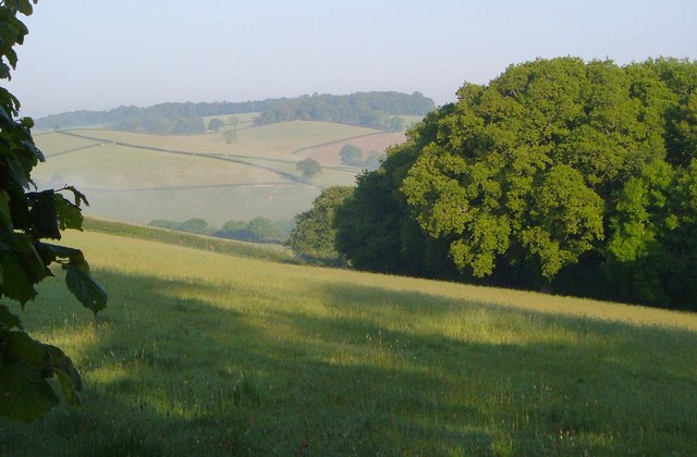
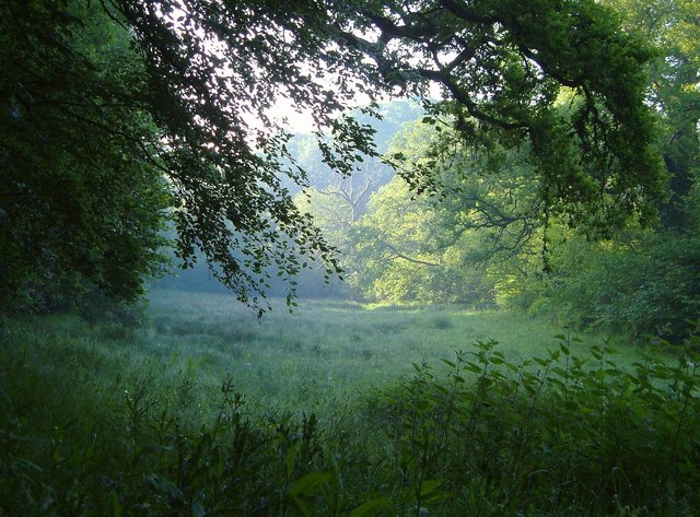
Kitchenpark Copse is a picturesque woodland located in Devon, England. Situated in the heart of the county, this charming woodland covers an area of approximately 20 acres and is a popular destination for nature lovers and outdoor enthusiasts.

The copse is characterized by its dense canopy of trees, which mainly consists of oak, beech, and ash. These majestic trees provide a habitat for a diverse range of flora and fauna, making it a haven for wildlife. Visitors to Kitchenpark Copse can enjoy the sight of wildflowers, such as bluebells and primroses, carpeting the forest floor during the spring months.

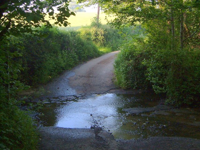
The woodland offers a network of winding footpaths, allowing visitors to explore its natural beauty at their own pace. These paths lead to secluded clearings and tranquil streams, offering opportunities for peaceful picnics or simply taking in the serene surroundings. The copse is also home to a small pond, which attracts a variety of birds and other aquatic creatures.

The peaceful atmosphere and natural beauty of Kitchenpark Copse make it an ideal location for activities such as birdwatching, photography, and nature walks. The copse is open to the public year-round, and there are no entrance fees or restrictions on access.

Overall, Kitchenpark Copse is a hidden gem in Devon, offering visitors a chance to escape the hustle and bustle of everyday life and immerse themselves in the tranquility of nature. Whether it's exploring the woodland trails or simply enjoying the sights and sounds of the forest, this idyllic woodland is a must-visit for nature enthusiasts.

If you have any feedback on the listing, please let us know in the comments section below.

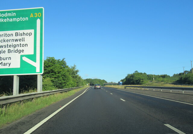
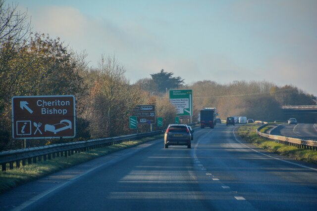
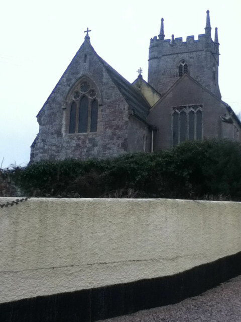
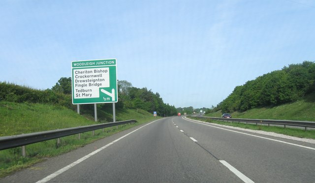
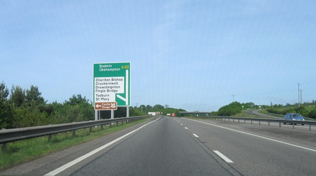
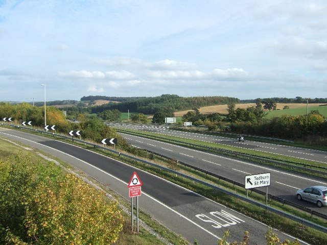
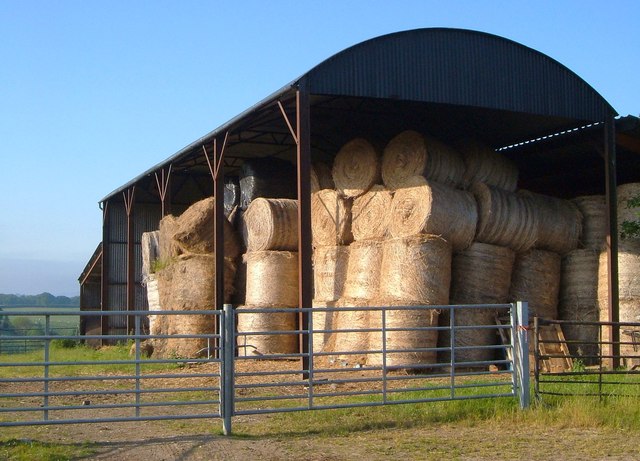
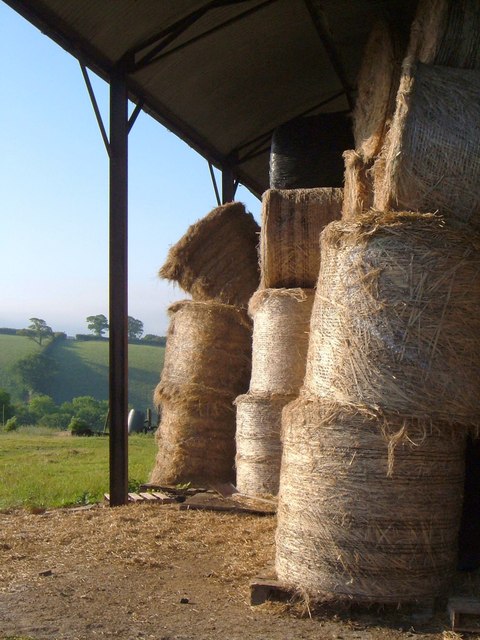
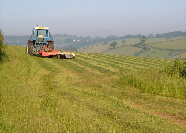
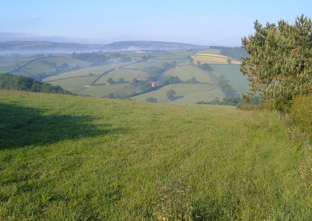
Kitchenpark Copse Images

Images are sourced within 2km of 50.724007/-3.698862 or Grid Reference SX8092. Thanks to Geograph Open Source API. All images are credited.

The A30 west at Woodleigh Junction
Cheriton Bishop : A30 Looking along the A30.
Cheriton Bishop : A30
Looking along the A30.
Road junction
Road junction
Kings Arms
Kings Arms
St Mary's Church
St Mary's Church
A30 east of Woodleigh Junction
Woodleigh Junction, A30
A30 from bridge at Cheriton Bishop
Lay-by on A30 near Hackworthy
Corner of Oxenpark Plantation A view from the lane shown in <a href="https://www.geograph.org.uk/photo/185344">SX8192 : Lane near Halstow, Tedburn St Mary</a>, with the Ducks Brook valley in the background. Mists drifts like smoke.
Corner of Oxenpark Plantation
A view from the lane shown in SX8192 : Lane near Halstow, Tedburn St Mary, with the Ducks Brook valley in the background. Mists drifts like smoke.
Barn near Halstow Boasting numerous bales of straw. This is beside the lane shown in <a href="https://www.geograph.org.uk/photo/185344">SX8192 : Lane near Halstow, Tedburn St Mary</a>.
Barn near Halstow
Boasting numerous bales of straw. This is beside the lane shown in SX8192 : Lane near Halstow, Tedburn St Mary.
Bales in a barn Another view of the bales shown in <a href="https://www.geograph.org.uk/photo/2621001">SX8191 : Barn near Halstow</a>.
Bales in a barn
Another view of the bales shown in SX8191 : Barn near Halstow.
Mowing near Halstow A tractor cuts the grass in a field on the other side of the lane from <a href="https://www.geograph.org.uk/photo/2621001">SX8191 : Barn near Halstow</a>.
Mowing near Halstow
A tractor cuts the grass in a field on the other side of the lane from SX8191 : Barn near Halstow.
Field with a view This grass field complements the one shown in <a href="https://www.geograph.org.uk/photo/2621164">SX8191 : Mowing near Halstow</a>, which is on the other side of the lane. The lane (Stadden Road) can be seen on the right, climbing the far side of the Reedy Brook valley, with Westland Farm to its left. Beyond, mist can be seen in the Teign valley.
Field with a view
This grass field complements the one shown in SX8191 : Mowing near Halstow, which is on the other side of the lane. The lane (Stadden Road) can be seen on the right, climbing the far side of the Reedy Brook valley, with Westland Farm to its left. Beyond, mist can be seen in the Teign valley.
Meadow by the Reedy Brook A misty morning in the Reedy Brook valley by Staddon Ford. This looks downstream, with the brook among the trees on the right, and Halstow Wood on the left.
Meadow by the Reedy Brook
A misty morning in the Reedy Brook valley by Staddon Ford. This looks downstream, with the brook among the trees on the right, and Halstow Wood on the left.
Staddon Ford The Reedy Brook crosses Staddon Lane.
Staddon Ford
The Reedy Brook crosses Staddon Lane.
Staddon Ford The ford is at the junction of Staddon and Windout Lanes; here the latter, a farm lane to <a href="https://www.geograph.org.uk/photo/182540">SX8191 : Windout Farm</a>, climbs away in the background.
Staddon Ford
The ford is at the junction of Staddon and Windout Lanes; here the latter, a farm lane to SX8191 : Windout Farm, climbs away in the background.
Staddon Ford Taken from Windout Lane, with the ford at the junction with Staddon Lane, as shown in <a href="https://www.geograph.org.uk/photo/2643424">SX8191 : Staddon Ford</a> and <a href="https://www.geograph.org.uk/photo/2643405">SX8191 : Staddon Ford</a>.
Staddon Ford
Taken from Windout Lane, with the ford at the junction with Staddon Lane, as shown in SX8191 : Staddon Ford and SX8191 : Staddon Ford.
Show me another place!

Kitchenpark Copse is located at Grid Ref: SX8092 (Lat: 50.724007, Lng: -3.698862)

Administrative County: Devon

District: Teignbridge

Police Authority: Devon and Cornwall

What 3 Words

///trickle.spurring.forced. Near Crediton, Devon

Related Wikis

West Country English

West Country English is a group of English language varieties and accents used by much of the native population of South West England, the area sometimes...

Devon

Devon (/ˈdɛvən/ DEV-ən, historically also known as Devonshire /-ʃɪər, -ʃər/ -⁠sheer, -⁠shər) is a ceremonial county in South West England. It is bordered...

Tedburn St Mary

Tedburn St Mary is a village and civil parish in the Teignbridge district of Devon, England, approximately 8 miles west of Exeter. It has a population...

Great Fulford

Great Fulford is an historic estate in the parish of Dunsford, Devon. The grade I listed manor house, known as Great Fulford House, is about 9 miles west...

Have you been to Kitchenpark Copse?

Leave your review of Kitchenpark Copse below (or comments, questions and feedback).