Lodge Plantation

Wood, Forest in Devon Teignbridge

England

Lodge Plantation

The A30 west at Woodleigh Junction
The A30 west at Woodleigh Junction Credit: Roy Hughes

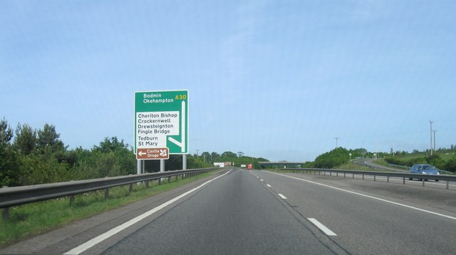
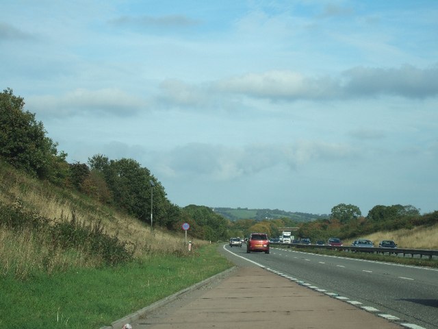
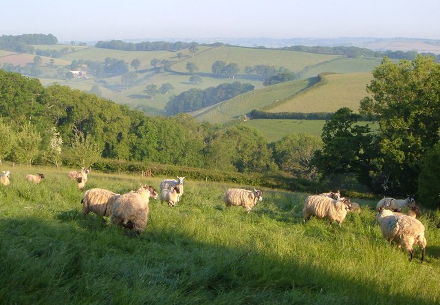
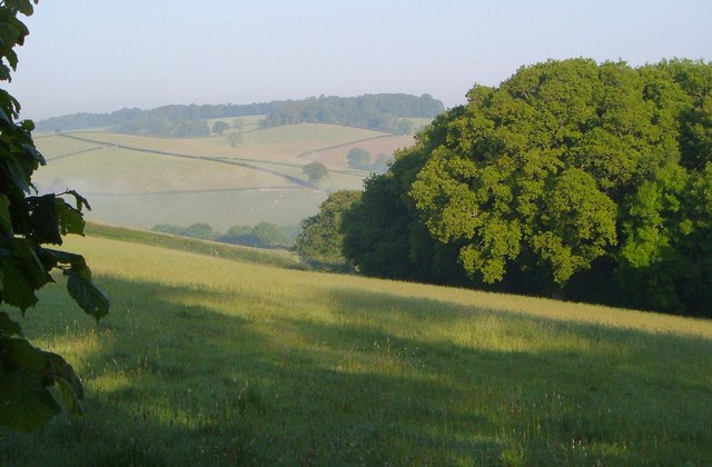
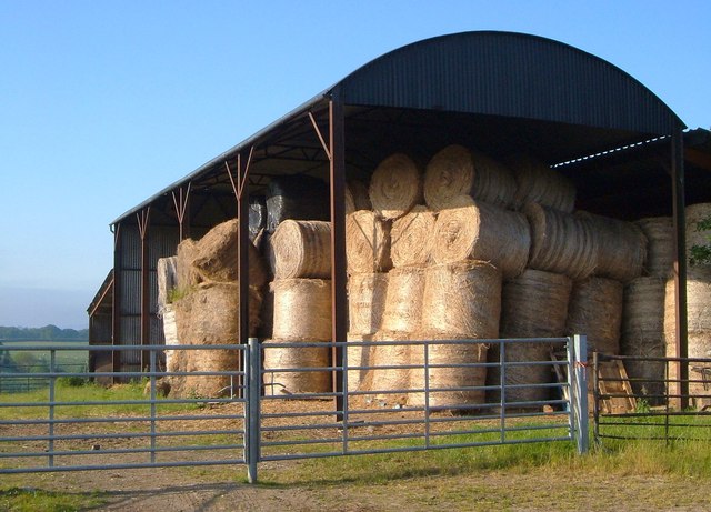
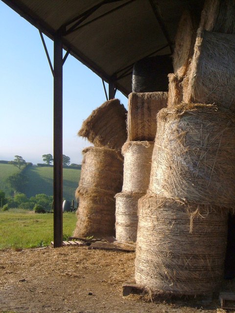
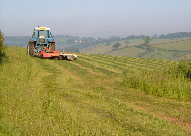
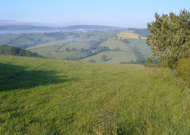
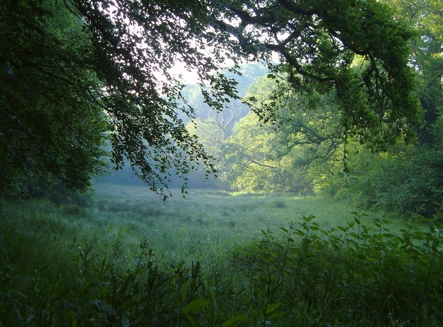
Lodge Plantation is a picturesque woodland located in Devon, England. Situated in the heart of the county, it covers an extensive area of lush greenery and tranquil surroundings. The plantation is known for its dense forest, which is home to a variety of flora and fauna, making it a popular destination for nature enthusiasts and wildlife lovers alike.

The woodland is predominantly composed of towering oak trees, creating a majestic canopy that provides shelter and shade for the diverse range of wildlife that inhabits the area. Visitors can expect to encounter an array of bird species, including woodpeckers, owls, and various songbirds, as well as small mammals such as rabbits, squirrels, and hedgehogs.

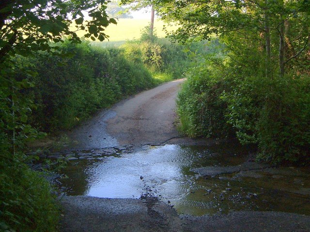
Walking trails wind their way through the plantation, offering visitors the opportunity to explore the natural beauty at their own pace. These paths lead to hidden gems within the forest, including a serene lake, where visitors can relax and enjoy the peaceful ambiance. The lake is also a popular spot for fishing enthusiasts, as it is home to a variety of freshwater fish species.

Lodge Plantation is not only a haven for wildlife but also a place of historical significance. The woodland has a rich history, dating back several centuries, and remnants of old structures and artifacts can still be found scattered throughout the area. This adds an extra layer of intrigue and fascination for those interested in the region's past.

Overall, Lodge Plantation in Devon offers a wonderful opportunity to immerse oneself in nature, explore captivating trails, and appreciate the beauty of this well-preserved woodland.

If you have any feedback on the listing, please let us know in the comments section below.

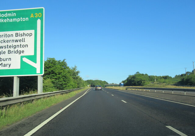
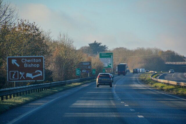
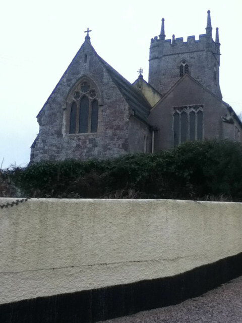
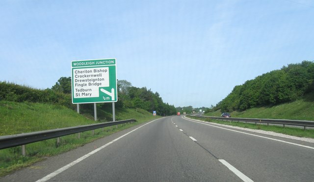
Lodge Plantation Images

Images are sourced within 2km of 50.720247/-3.6976352 or Grid Reference SX8092. Thanks to Geograph Open Source API. All images are credited.

The A30 west at Woodleigh Junction
Cheriton Bishop : A30 Looking along the A30.
Cheriton Bishop : A30
Looking along the A30.
Road junction
Road junction
Kings Arms
Kings Arms
St Mary's Church
St Mary's Church
A30 east of Woodleigh Junction
Woodleigh Junction, A30
Lay-by on A30 near Hackworthy
Sheep near Halstow A young wood - an orchard, perhaps - is in the next field on the left. Beyond is Oxenpark Plantation. In the background is the valley of the Ducks Brook, with the farm of Aller, in <a href="https://www.geograph.org.uk/gridref/SX8192">SX8192</a>.
Sheep near Halstow
A young wood - an orchard, perhaps - is in the next field on the left. Beyond is Oxenpark Plantation. In the background is the valley of the Ducks Brook, with the farm of Aller, in SX8192.
Corner of Oxenpark Plantation A view from the lane shown in <a href="https://www.geograph.org.uk/photo/185344">SX8192 : Lane near Halstow, Tedburn St Mary</a>, with the Ducks Brook valley in the background. Mists drifts like smoke.
Corner of Oxenpark Plantation
A view from the lane shown in SX8192 : Lane near Halstow, Tedburn St Mary, with the Ducks Brook valley in the background. Mists drifts like smoke.
Barn near Halstow Boasting numerous bales of straw. This is beside the lane shown in <a href="https://www.geograph.org.uk/photo/185344">SX8192 : Lane near Halstow, Tedburn St Mary</a>.
Barn near Halstow
Boasting numerous bales of straw. This is beside the lane shown in SX8192 : Lane near Halstow, Tedburn St Mary.
Bales in a barn Another view of the bales shown in <a href="https://www.geograph.org.uk/photo/2621001">SX8191 : Barn near Halstow</a>.
Bales in a barn
Another view of the bales shown in SX8191 : Barn near Halstow.
Mowing near Halstow A tractor cuts the grass in a field on the other side of the lane from <a href="https://www.geograph.org.uk/photo/2621001">SX8191 : Barn near Halstow</a>.
Mowing near Halstow
A tractor cuts the grass in a field on the other side of the lane from SX8191 : Barn near Halstow.
Field with a view This grass field complements the one shown in <a href="https://www.geograph.org.uk/photo/2621164">SX8191 : Mowing near Halstow</a>, which is on the other side of the lane. The lane (Stadden Road) can be seen on the right, climbing the far side of the Reedy Brook valley, with Westland Farm to its left. Beyond, mist can be seen in the Teign valley.
Field with a view
This grass field complements the one shown in SX8191 : Mowing near Halstow, which is on the other side of the lane. The lane (Stadden Road) can be seen on the right, climbing the far side of the Reedy Brook valley, with Westland Farm to its left. Beyond, mist can be seen in the Teign valley.
Meadow by the Reedy Brook A misty morning in the Reedy Brook valley by Staddon Ford. This looks downstream, with the brook among the trees on the right, and Halstow Wood on the left.
Meadow by the Reedy Brook
A misty morning in the Reedy Brook valley by Staddon Ford. This looks downstream, with the brook among the trees on the right, and Halstow Wood on the left.
Staddon Ford The Reedy Brook crosses Staddon Lane.
Staddon Ford
The Reedy Brook crosses Staddon Lane.
Staddon Ford The ford is at the junction of Staddon and Windout Lanes; here the latter, a farm lane to <a href="https://www.geograph.org.uk/photo/182540">SX8191 : Windout Farm</a>, climbs away in the background.
Staddon Ford
The ford is at the junction of Staddon and Windout Lanes; here the latter, a farm lane to SX8191 : Windout Farm, climbs away in the background.
Staddon Ford Taken from Windout Lane, with the ford at the junction with Staddon Lane, as shown in <a href="https://www.geograph.org.uk/photo/2643424">SX8191 : Staddon Ford</a> and <a href="https://www.geograph.org.uk/photo/2643405">SX8191 : Staddon Ford</a>.
Staddon Ford
Taken from Windout Lane, with the ford at the junction with Staddon Lane, as shown in SX8191 : Staddon Ford and SX8191 : Staddon Ford.
Show me another place!

Lodge Plantation is located at Grid Ref: SX8092 (Lat: 50.720247, Lng: -3.6976352)

Administrative County: Devon

District: Teignbridge

Police Authority: Devon and Cornwall

What 3 Words

///stun.attends.lists. Near Crediton, Devon

Related Wikis

West Country English

West Country English is a group of English language varieties and accents used by much of the native population of South West England, the area sometimes...

Devon

Devon (/ˈdɛvən/ DEV-ən, historically also known as Devonshire /-ʃɪər, -ʃər/ -⁠sheer, -⁠shər) is a ceremonial county in South West England. It is bordered...

Great Fulford

Great Fulford is an historic estate in the parish of Dunsford, Devon. The grade I listed manor house, known as Great Fulford House, is about 9 miles west...

Tedburn St Mary

Tedburn St Mary is a village and civil parish in the Teignbridge district of Devon, England, approximately 8 miles west of Exeter. It has a population...

Cheriton Bishop

Cheriton Bishop is a village and civil parish situated on the northern borders of Dartmoor National park between Exeter and Okehampton, in Devon, England...

Dunsford

Dunsford is a village in Devon, England, just inside the Dartmoor National Park. The place-name 'Dunsford' is first attested in the Domesday Book of 1086...

Holcombe Burnell

Holcombe Burnell is a civil parish in the Teignbridge district, in Devon, England, the church of which is about 4 miles west of Exeter City centre. There...

Posbury

Posbury is an ancient estate in Devon, now a hamlet, situated about 2 miles south-west of Crediton and 2 miles north of Tedburn St Mary and 1 mile west...

Have you been to Lodge Plantation?

Leave your review of Lodge Plantation below (or comments, questions and feedback).