Aber-Cegir

Settlement in Montgomeryshire

Wales

Aber-Cegir

Glyndwr's Way near Abercegir
Glyndwr's Way near Abercegir Credit: Dave Kelly

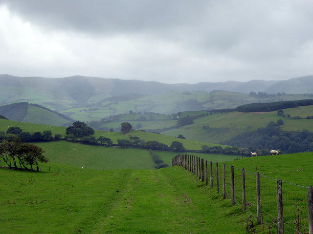
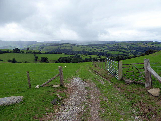
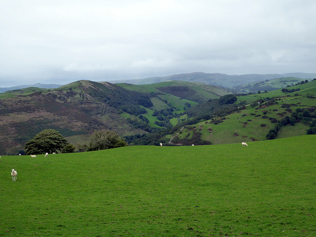
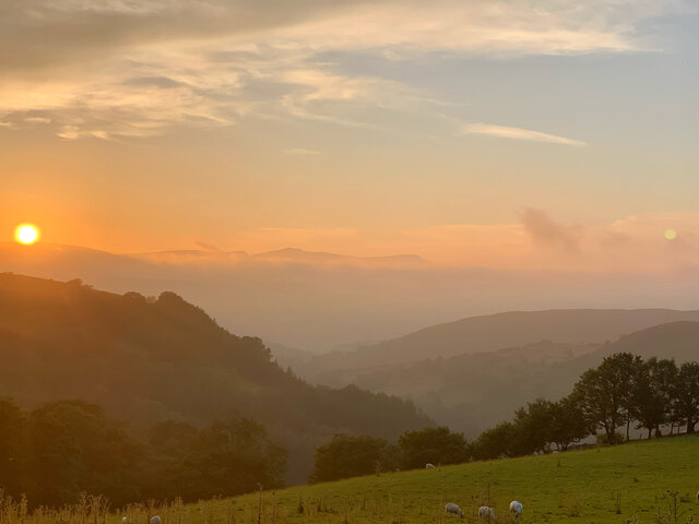
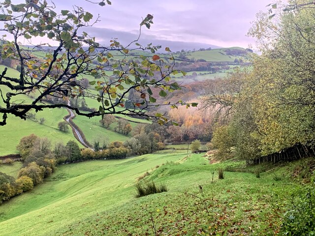
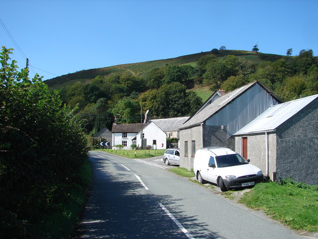
Aber-Cegir is a small village located in the county of Montgomeryshire, Wales. Situated in the heart of the picturesque Severn Valley, Aber-Cegir is surrounded by rolling hills and scenic landscapes, making it an idyllic countryside destination.

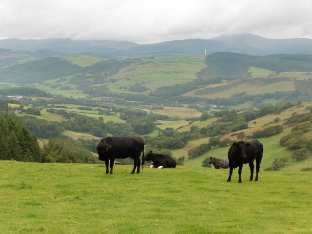
The village has a population of around 300 residents and is known for its peaceful atmosphere and tight-knit community. The local economy primarily revolves around agriculture, with many residents engaged in farming and livestock rearing.

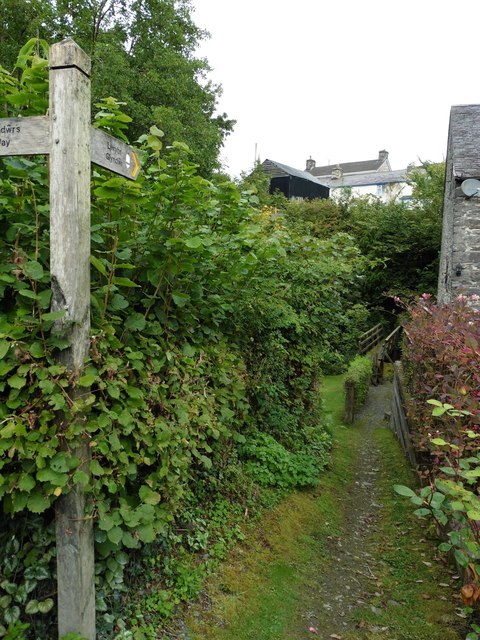
Aber-Cegir boasts a rich history, with several historical landmarks scattered throughout the area. The village is home to a medieval church, which dates back to the 13th century and stands as a testament to the area's long-standing heritage. The church provides a glimpse into the village's past, attracting history enthusiasts and visitors interested in architectural marvels.

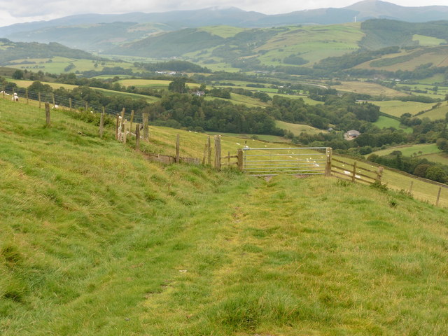
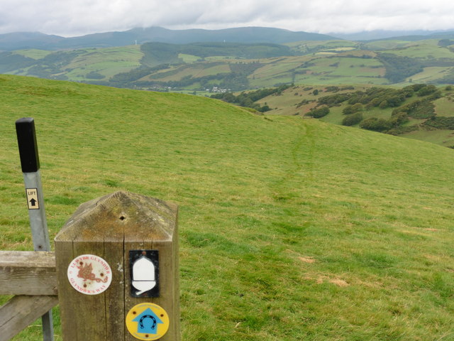
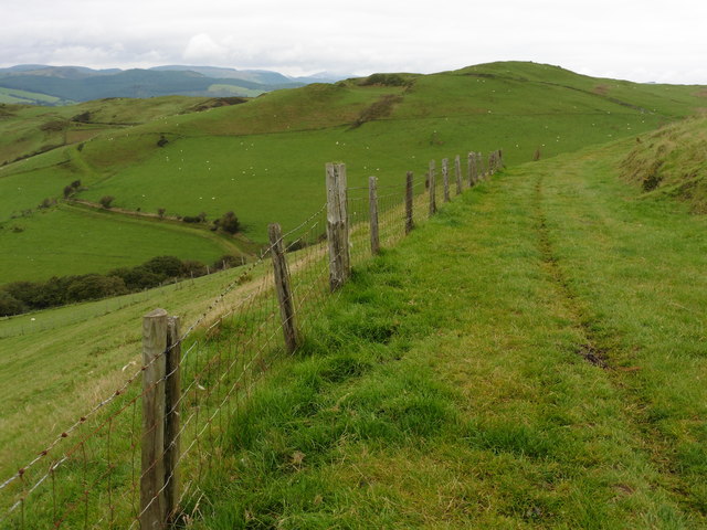
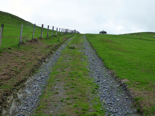
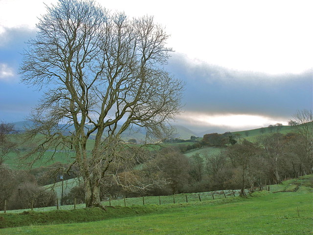
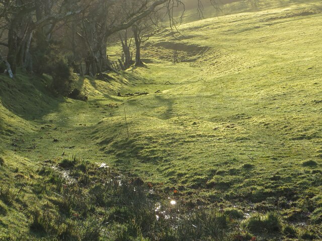
Nature lovers will find themselves captivated by the natural beauty surrounding Aber-Cegir. The village is situated near the banks of the River Severn, offering opportunities for fishing and boating. Additionally, the nearby hills and woodlands provide ample space for outdoor activities such as hiking and birdwatching.

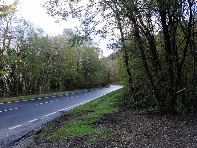
While Aber-Cegir may be a small village, it benefits from its proximity to larger towns and cities. The town of Newtown, known for its vibrant market and historical sites, is just a short distance away. This allows residents to access a wider range of amenities and services without sacrificing the tranquility of village life.

Overall, Aber-Cegir is a charming and peaceful village, offering residents and visitors a chance to experience the natural beauty and rich history of Montgomeryshire.

If you have any feedback on the listing, please let us know in the comments section below.
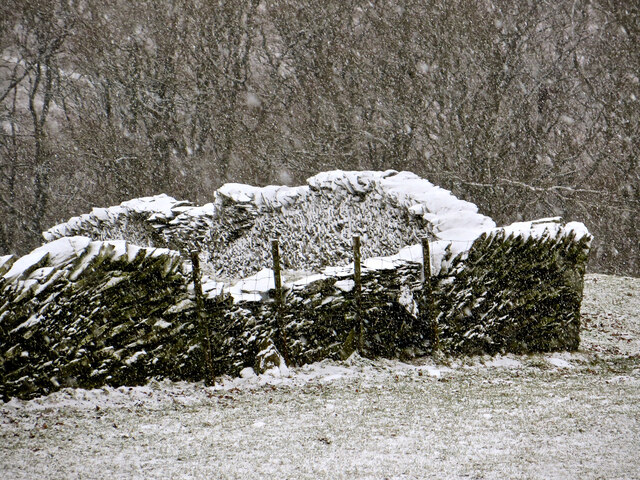
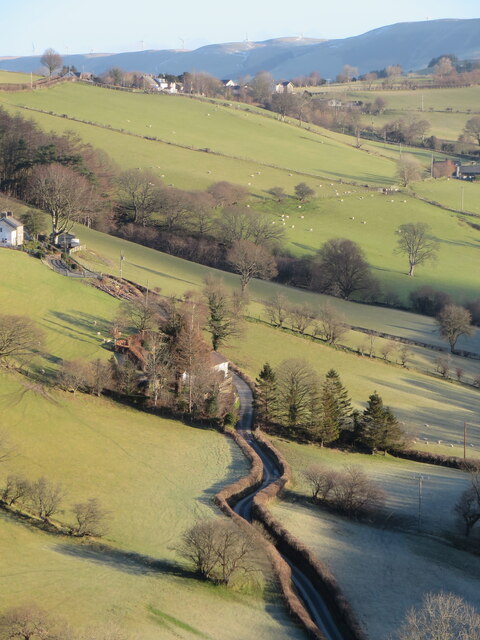
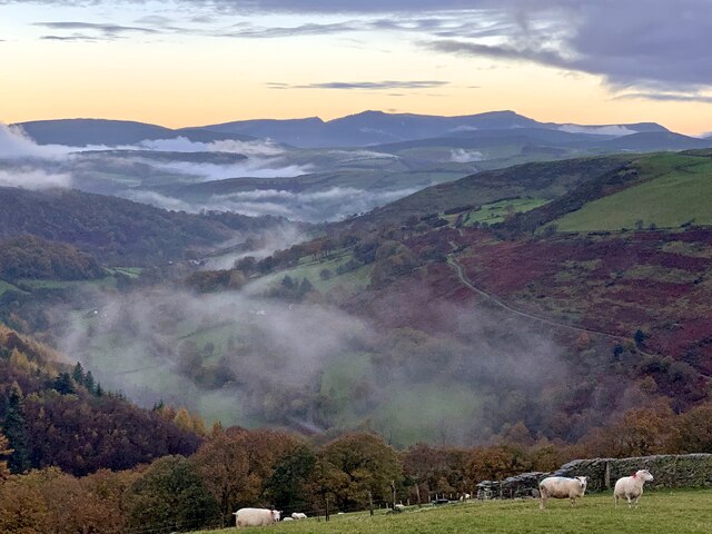
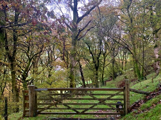
Aber-Cegir Images

Images are sourced within 2km of 52.600985/-3.764451 or Grid Reference SH8001. Thanks to Geograph Open Source API. All images are credited.

Glyndwr's Way near Abercegir
View from Glyndwr's Way near Abercegir
Glyndwr's Way near Abercegir
Track leading down from Ffridd Wyllt towards Maesterran Farm Drizzle was falling here and there appeared to be heavier rain in the valley below. The farm track here somehow gave the impression of being of some antiquity and that proved to be the case as it is shown on the 1887 map. It is now a right of way down to Maesterran Farm and beyond.
Track leading down from Ffridd Wyllt towards Maesterran Farm
Drizzle was falling here and there appeared to be heavier rain in the valley below. The farm track here somehow gave the impression of being of some antiquity and that proved to be the case as it is shown on the 1887 map. It is now a right of way down to Maesterran Farm and beyond.
Open gate on the track down to Maesterran Farm
Above Cwm Gwydol The hamlet of Abercegir is hidden in the valley below.
Above Cwm Gwydol
The hamlet of Abercegir is hidden in the valley below.
Ancient roadway above Maesterran Farm Also a right of way.
Ancient roadway above Maesterran Farm
Also a right of way.
Beside the A470 road Older maps show a large lay-by here, out of view on the right, formed after road realignment. It has now been closed and fenced.
Beside the A470 road
Older maps show a large lay-by here, out of view on the right, formed after road realignment. It has now been closed and fenced.
Onnen / Ash On the bridleway by Bryn y Brain.
Onnen / Ash
On the bridleway by Bryn y Brain.
Distant view towards Cadair Idris at sunset From the public bridleway on Bryn-y-Brain, the summer sunset view towards Cadair Idris, approximately 15 miles away.
Distant view towards Cadair Idris at sunset
From the public bridleway on Bryn-y-Brain, the summer sunset view towards Cadair Idris, approximately 15 miles away.
Hen wal yr yr eira An old boundary wall on the side of Bryn-y-Brain, as the snow begins.
Hen wal yr yr eira
An old boundary wall on the side of Bryn-y-Brain, as the snow begins.
Dros Nant Gwydol Across Nant Gwydol, looking up the lane towards Darowen.
Dros Nant Gwydol
Across Nant Gwydol, looking up the lane towards Darowen.
Nant Gwydol Golygfa lawr Nant Gwydol, tuag at Cadair Idris, ar fore hydrefol / View down Nant Gwydol, towards Cadair Idris, on an autumnal morning.
Nant Gwydol
Golygfa lawr Nant Gwydol, tuag at Cadair Idris, ar fore hydrefol / View down Nant Gwydol, towards Cadair Idris, on an autumnal morning.
Llwybr ceffyl / Bridleway Hen lwybr yn y coed / old bridleway through the wood
Llwybr ceffyl / Bridleway
Hen lwybr yn y coed / old bridleway through the wood
Llwybr ceffyl / Bridleway Llwybr lawr i Esgair Gadwyth / bridleway heading downhill towards Esgair Gadwyth
Llwybr ceffyl / Bridleway
Llwybr lawr i Esgair Gadwyth / bridleway heading downhill towards Esgair Gadwyth
Hen ffordd y porthmyn The old drovers' road, now a sunken bridleway along the flank of Bryn-y-Brain.
Hen ffordd y porthmyn
The old drovers' road, now a sunken bridleway along the flank of Bryn-y-Brain.
Show me another place!

Aber-Cegir is located at Grid Ref: SH8001 (Lat: 52.600985, Lng: -3.764451)

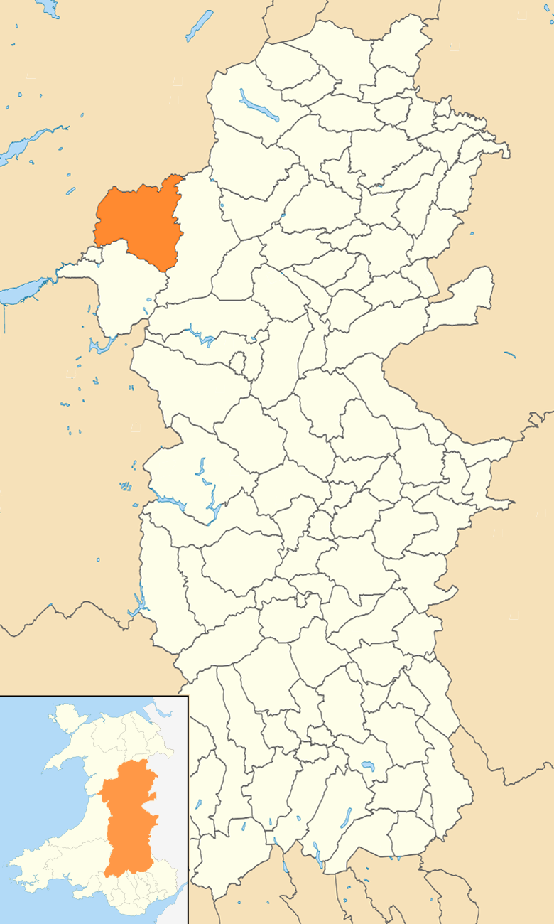
Unitary Authority: Powys

Police Authority: Dyfed Powys

Also known as: Aber Cegir, Abercegyr, Abercegir

What 3 Words

///escorting.thud.broken. Near Machynlleth, Powys

Related Wikis

Abercegir

Abercegir () is a small rural village in Powys, Wales. It lies approximately 4 miles east of the town of Machynlleth and is 81 miles (131 km) from Cardiff...

Abergwydol

Abergwydol () is a village in the Welsh principal area of Powys located on the A489 road between Cemmaes Road and Penegoes. It is part of the community...

Afon Ceirig

The Afon Ceirig is a small river in Mid Wales. It flows from Esgair Llewelyn in the middle of the Dyfi Hills down to Mathafarn, north-west of Cemmaes Road...

Llanwrin

Llanwrin () is a small village in the valley of the Afon Dyfi in Powys, Wales, about two miles north-east of Machynlleth. == History and background... ==

Mathafarn

Mathafarn is a house and farm near Llanwrin, in Wales. The earliest house here was built before 1485, and Mathafarn plays a significant role in Welsh and...

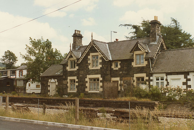
Cemmes Road railway station

Cemmes Road was a railway station on the Newtown and Machynlleth Railway (N&MR) in Mid-Wales, serving the village of Cemmaes Road. The N&MR passed through...

Cemmaes Road

Cemmaes Road (Welsh: Glantwymyn; ) is a village in Powys, Wales. It is in the community (civil parish) of Glantwymyn. The village was named in English...

Glantwymyn

Glantwymyn () is a community in the northwest (Montgomeryshire) of Powys, Wales. == Description == It comprises the villages of Cemmaes, Commins Coch and...

Nearby Amenities

Located within 500m of 52.600985,-3.764451
Place: farm
Lat/Long: 52.5971627/-3.7682736
Abercegir
Place: hamlet
Lat/Long: 52.6004011/-3.7673927
SK53 Solar: missing_building
Building: yes
Fixme: building area needed
Lat/Long: 52.600226/-3.7680222
SK53 Solar: missing_building
Building: yes
Fixme: building area needed
Lat/Long: 52.5998277/-3.7692051
Direction: 185
Generator Method: photovoltaic
Generator Output Electricity: yes
Generator Solar Modules: 22
Generator Source: solar
Generator Type: solar_photovoltaic_panel
Location: roof
Power: generator
Lat/Long: 52.5998147/-3.7692728
Direction: E
Generator Method: photovoltaic
Generator Output Electricity: yes
Generator Solar Modules: 18
Generator Source: solar
Generator Type: solar_photovoltaic_panel
Location: roof
Power: generator
Lat/Long: 52.6002081/-3.767986
Direction: 170
Generator Method: photovoltaic
Generator Output Electricity: yes
Generator Solar Modules: 14
Generator Source: solar
Generator Type: solar_photovoltaic_panel
Location: roof
Power: generator
Lat/Long: 52.6023943/-3.7701452
Direction: 165
Generator Method: photovoltaic
Generator Output Electricity: yes
Generator Solar Modules: 6
Generator Source: solar
Generator Type: solar_photovoltaic_panel
Location: roof
Power: generator
Lat/Long: 52.6020791/-3.7700795
Telephone
Booth: K6
Covered: booth
Operator: BT
Phone: +44 1650 511296
Lat/Long: 52.6002929/-3.7684251
Post Box
Post Box Type: lamp
Lat/Long: 52.6002294/-3.7675615
The data included in this document is from www.openstreetmap.org. The data is made available under ODbL.

Have you been to Aber-Cegir?

Leave your review of Aber-Cegir below (or comments, questions and feedback).