Abercegir
Settlement in Montgomeryshire
Wales
Abercegir
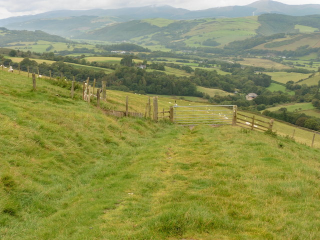
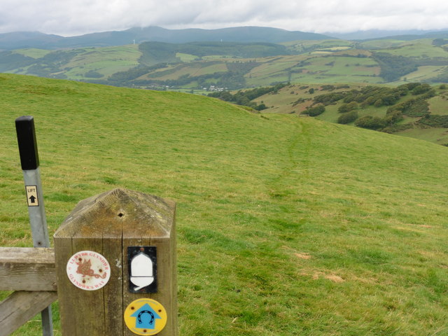
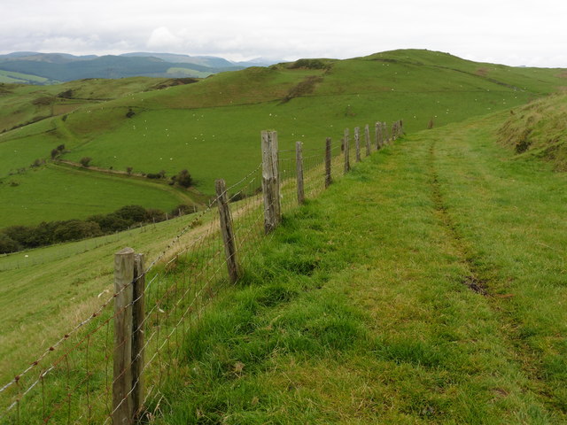
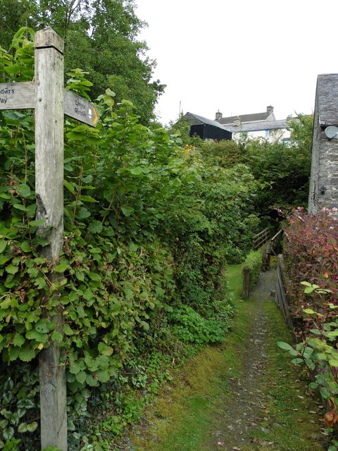
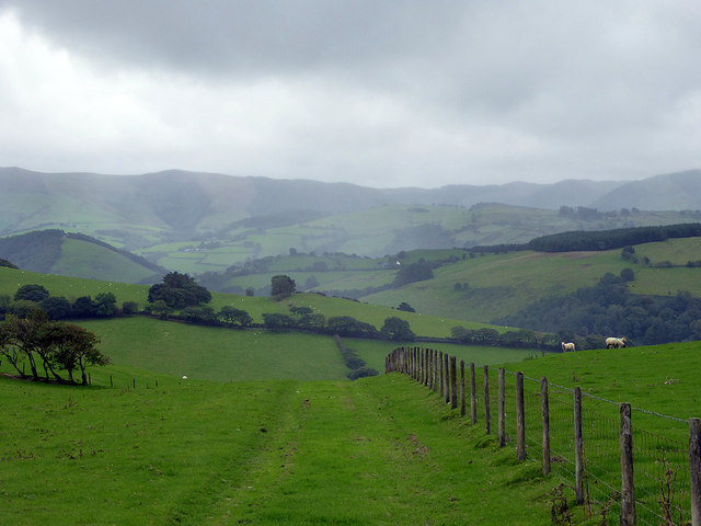
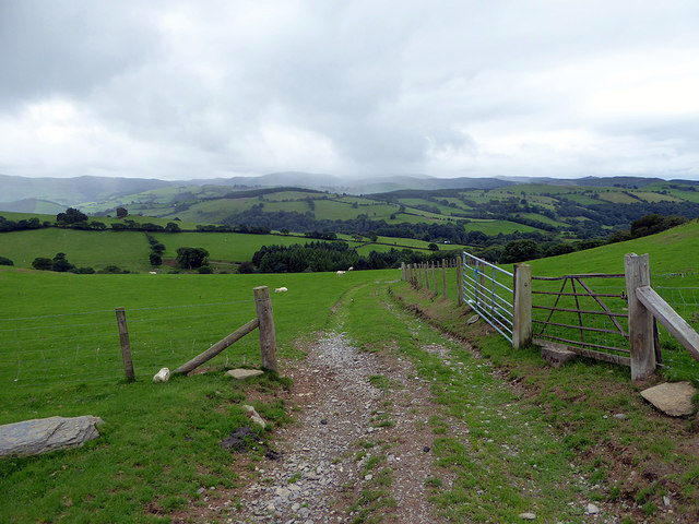
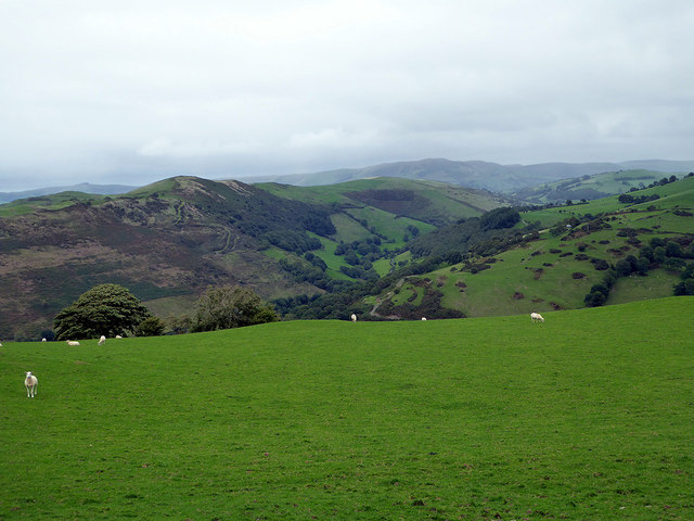
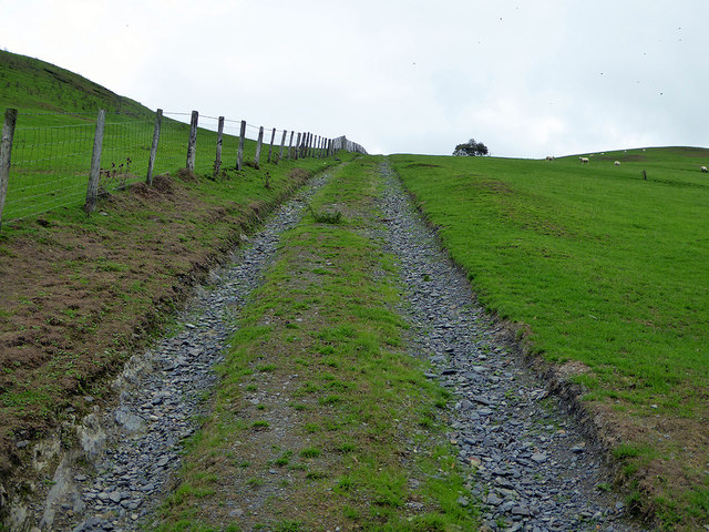
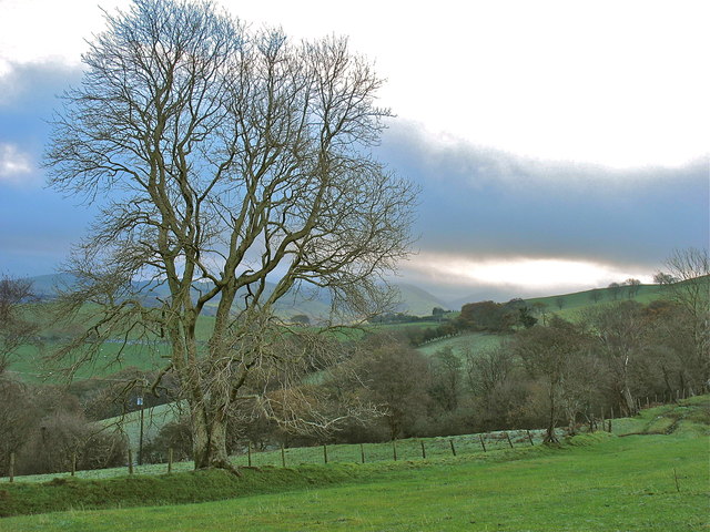
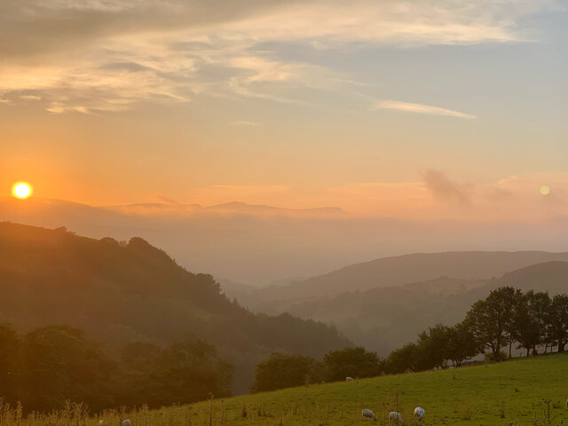
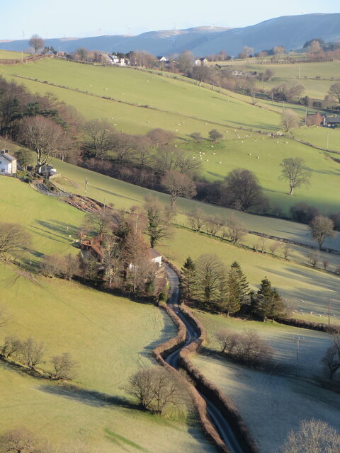
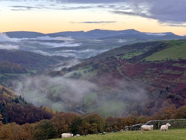
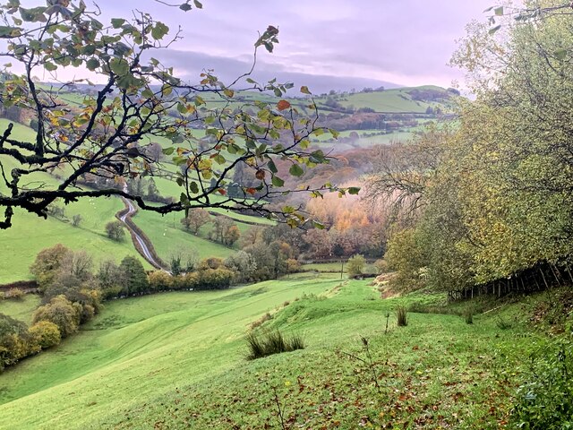
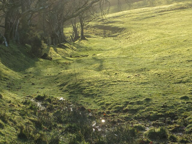
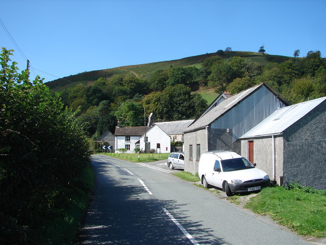
Abercegir is a small village located in the county of Montgomeryshire, Wales. Situated in the picturesque landscape of the Dyfi Valley, it is surrounded by rolling hills and lush green fields. The village sits on the banks of the River Dyfi, which adds to its scenic beauty.
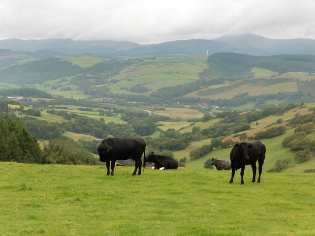
With a population of around 200 people, Abercegir is a close-knit community known for its friendly atmosphere and warm hospitality. The village is predominantly residential, with a few small businesses catering to the needs of its residents. The main industry in the area is agriculture, with sheep farming being particularly prevalent.
Abercegir is steeped in history, with evidence of human habitation dating back thousands of years. The village is home to several ancient sites, including a Bronze Age burial mound and an Iron Age hillfort. These archaeological treasures attract visitors interested in exploring the area's rich past.
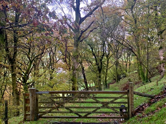
Nature enthusiasts are drawn to Abercegir's stunning surroundings, as it offers numerous opportunities for outdoor activities. The nearby Dyfi Forest provides ample trails for hiking and mountain biking, while the river is popular for fishing. The village also serves as a gateway to Snowdonia National Park, which is within driving distance.
Although Abercegir may be small, its charm lies in its peaceful setting, welcoming community, and natural beauty. It offers a tranquil retreat for those seeking a break from the hustle and bustle of city life.
If you have any feedback on the listing, please let us know in the comments section below.
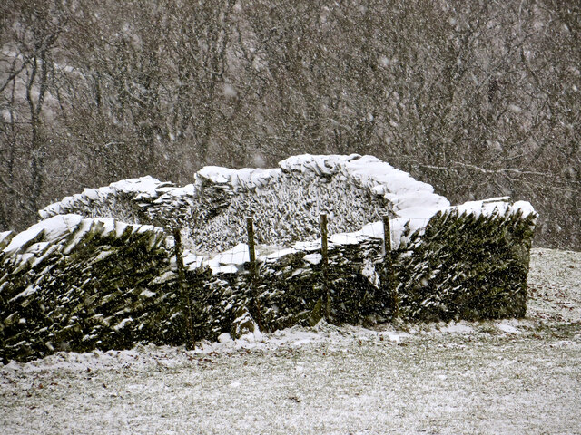
Abercegir Images
Images are sourced within 2km of 52.600985/-3.764451 or Grid Reference SH8001. Thanks to Geograph Open Source API. All images are credited.
Abercegir is located at Grid Ref: SH8001 (Lat: 52.600985, Lng: -3.764451)
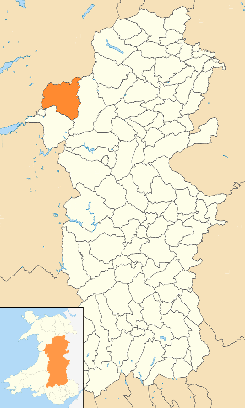
Unitary Authority: Powys
Police Authority: Dyfed Powys
Also known as: Abercegyr, Aber-Cegir, Aber Cegir
What 3 Words
///escorting.thud.broken. Near Machynlleth, Powys
Nearby Locations
Related Wikis

Abercegir
Abercegir () is a small rural village in Powys, Wales. It lies approximately 4 miles east of the town of Machynlleth and is 81 miles (131 km) from Cardiff...
Abergwydol
Abergwydol () is a village in the Welsh principal area of Powys located on the A489 road between Cemmaes Road and Penegoes. It is part of the community...

Afon Ceirig
The Afon Ceirig is a small river in Mid Wales. It flows from Esgair Llewelyn in the middle of the Dyfi Hills down to Mathafarn, north-west of Cemmaes Road...
Llanwrin
Llanwrin () is a small village in the valley of the Afon Dyfi in Powys, Wales, about two miles north-east of Machynlleth. == History and background... ==
Mathafarn
Mathafarn is a house and farm near Llanwrin, in Wales. The earliest house here was built before 1485, and Mathafarn plays a significant role in Welsh and...
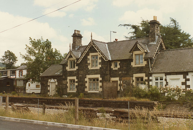
Cemmes Road railway station
Cemmes Road was a railway station on the Newtown and Machynlleth Railway (N&MR) in Mid-Wales, serving the village of Cemmaes Road. The N&MR passed through...
Cemmaes Road
Cemmaes Road (Welsh: Glantwymyn; ) is a village in Powys, Wales. It is in the community (civil parish) of Glantwymyn. The village was named in English...
Glantwymyn
Glantwymyn () is a community in the northwest (Montgomeryshire) of Powys, Wales. == Description == It comprises the villages of Cemmaes, Commins Coch and...
Nearby Amenities
Located within 500m of 52.600985,-3.764451Have you been to Abercegir?
Leave your review of Abercegir below (or comments, questions and feedback).